A Heat Advisory remain in effect for all of South Central Texas through 8 PM this evening. Maximum heat indices of 108 to 112 degrees can be expected. Heat indices this hot could cause heat related illnesses. Remember to stay hydrated, limit time spent outdoors, and wear light-weight and light-colored clothing.
4 AM Update: Tropical Storm Bertha continues to move west across the northern Gulf, nearing the Texas coast this afternoon/early afternoon. No impacts are expected for South Central Texas through early this afternoon. Late this afternoon/early evening through Friday, moisture from Bertha or its remnants could bring a low to medium chance (20-50%) of showers, favoring the Coastal Plains. Additionally, gusts up to 35 mph will be possible during this time. Please follow us and other trusted sources including hurricanes.gov for updates.
Another hot day across South Central Texas with forecast highs ranging from the upper 90s to 100-101 along the I-35 corridor, and up to 107 across the southern part of the Rio Grande Plains. Highest heat index values are forecast to range from 108 to 112. Heat Advisory in effect through 8 PM this evening for all of South Central Texas. Stay hydrated! In addition, there is a chance for showers and storms this afternoon and evening across the Coastal Plains as Bertha nears.
Continued hot and dry for the most part. Chances of rain this evening through Friday morning as Tropical storm Bertha moves closer. Temperatures will continue to range between the mid to upper 90s to around 100 to 107 degrees and heat indices nearing 110 to 112 at time. This will lead to moderate to major heat risk across the region today and Friday. Elevated heat risk continues into the weekend. Stay hydrated and practice heat safety!


 Austin/San Antonio Radar
 Weather Map
 Satellite Imagery
 Del Rio Radar
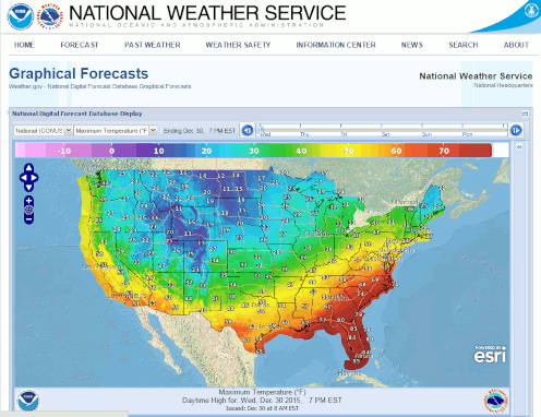 Digital Forecast Map
 Tropical Outlook
 Drought Status
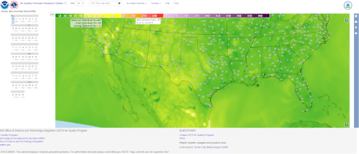 Air Quality
 Fire Weather Forecasts
 Observed Rainfall
 Observed Temperatures
 Daily Climate Graphs