Extremely critical fire weather concerns for portions of the southern High Plans as strong wind and very dry conditions could result in rapid spread of any fires. Meanwhile, severe thunderstorms are expected once again across areas of the Central and Southern Plains, then spreading in the Mississippi Valley regions on Monday. Damaging winds, very large hail and strong tornadoes are possible. Read More >

No current Red Flag Warning in the Austin/San Antonio County Warning Area.
No current Fire Danger Statement in the Austin/San Antonio County Warning Area.
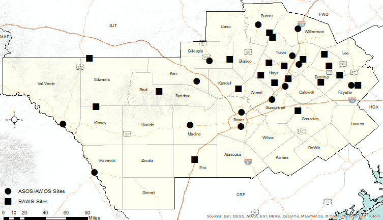
Click the map below for text from one of the following products at the selected locations:
Full text of these products can be found below the map.

Routine Fire Wx Fcst (With/Without 6-10 Day Outlook) Issued: 04/29/2026 11:27:00 AM UTC
Fire Weather Point Forecast Matrices Issued: 04/29/2026 01:49:00 PM UTC
Point Forecast Matrices Issued: 04/29/2026 01:49:00 PM UTC
Spot Forecast Monitor
Spot Forecast Request