
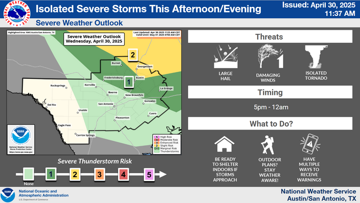
Active spring pattern across the center of our nation with several episodes of severe weather and heavy rainfall expected into next week. The potential for very large hail, long track tornadoes, severe wind gusts, frequent cloud to ground lightning strikes and flash flooding are in the outlook. Furthermore, dangerous early season heat wave continues for the Gulf Coast states into early next week. Read More >
Last Map Update: Sun, Jul 13, 2025 at 2:02:10 am CDT


 Austin/San Antonio Radar
 Weather Map
 Satellite Imagery
 Del Rio Radar
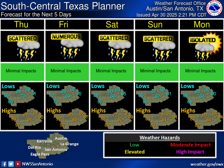
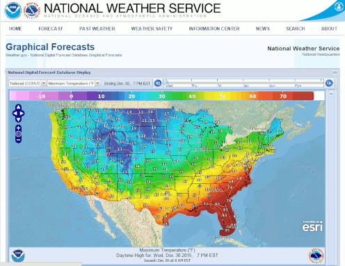 Digital Forecast Map
 Drought Status
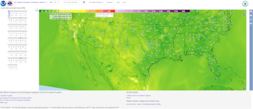 Air Quality
 Fire Weather Forecasts
 Observed Rainfall
 Observed Temperatures
 Daily Climate Graphs