
Heat expands across the Desert Southwest, Plains, Mississippi Valley and Midwest into Monday. Fire weather concerns continue for portions of the Intermountain West. Active monsoonal moisture fuels thunderstorms over the Southwest with possible flash flooding. Tropical cyclone Fausto in the Pacific, should weaken as it approaches Hawaii; Dangerous surf, swells and rip currents are expected. Read More >
Last Map Update: Sat, Aug 1, 2026 at 3:40:27 pm CDT


 Current Weather
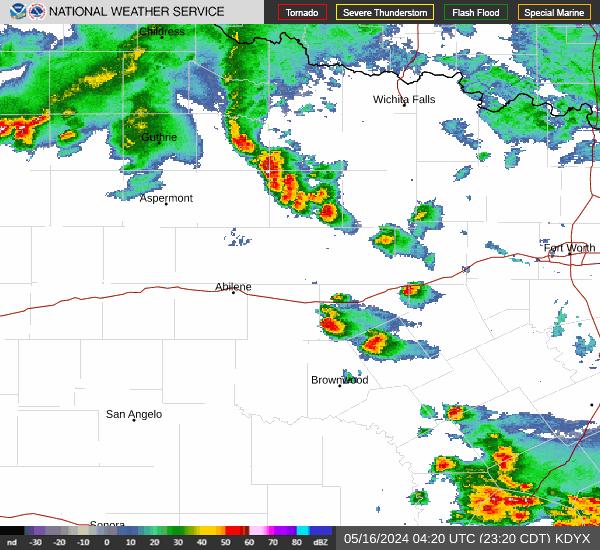
 Radar
Radar Satellite
 Forecast Maps
 Hourly Forecast
 Lakes & Rivers
 Hazards Outlook
 Hi-Res Radar
 Fire Weather
 Winter Weather
 Discussion
 Briefing Video
 Climate
 Storm Report
 Text Products
 Aviation
 Drought
 Skywarn