Another hot day with high temperatures mainly in the mid 90s to near 100. Heat indices will be in the 104-108F range. An isolated shower/storm is possible in the afternoon.
Hot conditions will peak Friday and Saturday with some moderation Sunday and Monday. Chances of showers and thunderstorms will return to the forecast starting on Saturday.
The NOAA Weather Radio (NWR) transmitter that serve the Bay City area remains offline. Technicians are aware of this outage. Unfortunately, it will remain out of service until parts arrive.


 Local Radar
 Weather Map
 TX Satellite Imagery
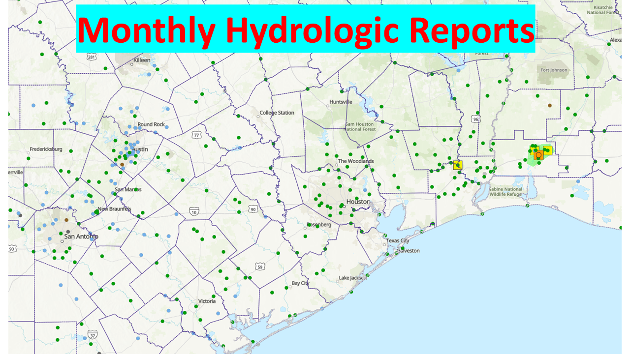 Monthly Hydrologic Reports
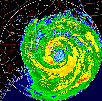 Hurricane Preparedness
 CONUS Satellite Imagery
 Climate Graphs
 Climate Summaries