National Weather Service United States Department of Commerce

Tropical Storm Imelda Forms; Another Round of Heavy Rain and Potential Flooding in the Southwest

Tropical Storm Imelda has formed near the Bahamas Sunday afternoon, and continues to bring heavy rainfall. The risk of significant wind impacts from Imelda along the Southeast coast are decreasing. Another round of showers and storms with a heavy rain and flash flood threat will continue in the Southwest through Monday morning. Read More >

Click a location below for detailed forecast.

Last Map Update: Sun, Oct 5, 2025 at 11:16:20 pm EDT
There are no watches, warnings, or advisories at this time.


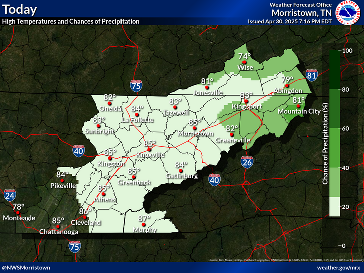
High pressure will result in mostly sunny and clear conditions through early this week with slightly above normal temperatures. The chance for a few showers and storms will return by Tuesday and Wednesday.

 Current Weather Observations...
Location Time
(EDT)
Weather Vsby.
(SM)
Temp.
(ºF)
Dewpt.
(ºF)
Hum.
(%)
Wind
(mph)
Wind Chill / Heat Index
(ºF)
Pres.
(in)
Abingdon VA05:35Clear10514681VRB 3-30.29
Andrews-Murphy NC05:28Mostly Cloudy10545296CALM-30.27
Chattanooga TN04:53Clear10605892CALM-30.19
Crossville TN04:53Clear105656100CALM-30.23
Dalton GA05:35Clear105959100CALM-30.17
Knoxville TN (McGhee-Tyson)04:53Clear10575696CALM-30.20
Middlesboro KY05:35Fog1/25050100CALM-30.27
Monroe Cnty TN05:15Clear105757100CALM-30.20
Morristown TN05:15Clear105757100CALM-30.23
Oak Ridge TN04:53Clear10575593CALM-30.23
Tazewell Cnty VA05:35Clear10564668SE 5-30.31
Tri-Cities TN04:53Mostly Clear10515096CALM-30.27
Wise VA05:35Clear10554466SSE 5-30.31
Greeneville, TN05:15Clear10555393CALM-30.25


Local Weather History For October 5th...
Remnants of Hurricane Opal hit in 1995 with high winds and flooding. $2 million damage.


Briefing Hydrology Past Weather Events Graphical Hazardous Weather Outlook for East Tennessee East Tennessee Observations
Decision Support Hydrology Past Weather Events GHWO Observations Gridded Forecast
Daily Climate for Middle Tennessee Local East Tennessee Climate Tornado Database Tropical Weather Information NOAA Weather Radio
IDSS Point Forecasts Daily Climate Local Climate Tornado Database Tropical Weather Radio
Daily Climate for Middle Tennessee Probabilistic Data for East Tennessee Virtual Tour of the NWS Morristown Office Skywarn Spotter Training for East Tennessee  
Being Prepared Estar Perparado Probabilistic Virtual Tour Spotter Training