Extremely critical fire weather concerns for portions of the southern High Plans as strong wind and very dry conditions could result in rapid spread of any fires. Meanwhile, severe thunderstorms are expected once again across areas of the Central and Southern Plains, then spreading in the Mississippi Valley regions on Monday. Damaging winds, very large hail and strong tornadoes are possible. Read More >
Morristown, TN
Weather Forecast Office
Notes about the mountain peak forecasts: (This is an experimental product)
1. The forecast represents the expected average conditions near the point of interest chosen.
2. Wind direction and speed may vary from the official forecast, due to channeling or eddying along ridges, valleys and other local terrain features.
3. Within the forecast product, a "-" symbol represents values of less than 15% in the thunder category where a "+" symbol represents 100% in the sky, precip, and thunder categories.
Click a mountain icon on the map to display the forecast for that peak, or scroll down the page for text links to all the forecasts.
|
Mountain Weather Observations
|
US Dept of Commerce
National Oceanic and Atmospheric Administration
National Weather Service
Morristown, TN
5974 Commerce Blvd.
Morristown, TN 37814
(423) 586-3771
Comments? Questions? Please Contact Us.


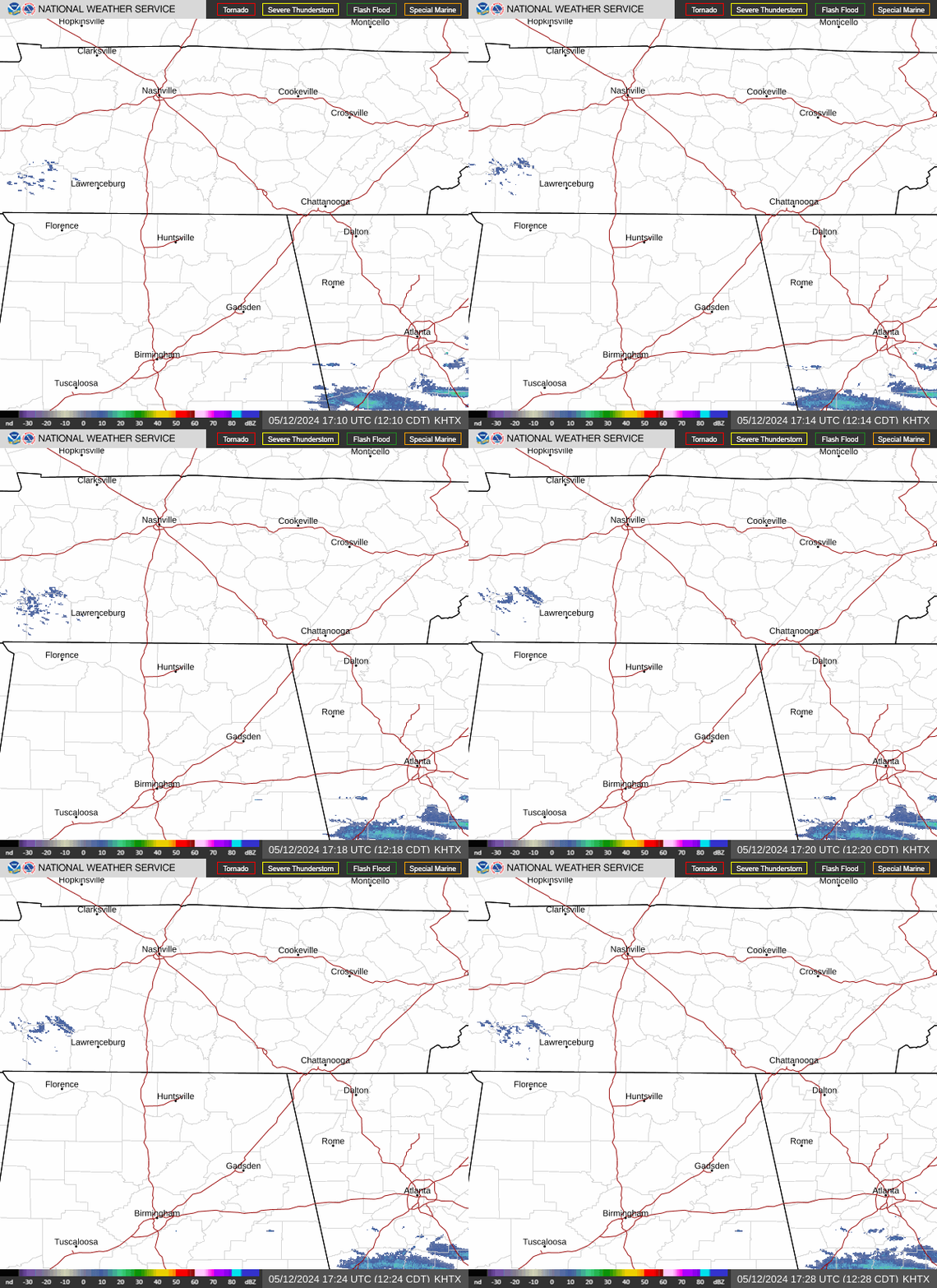
 Local Radar
 Huntsville Radar
 Regional Satellite
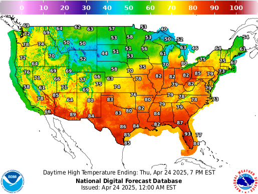
 Graphical Forecast
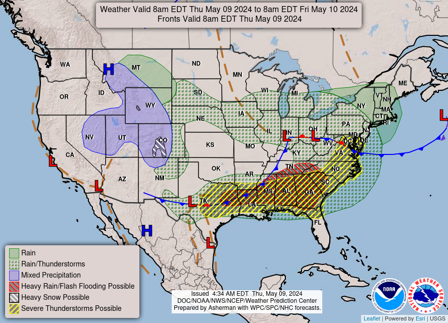
 Weather Map