Isolated severe storms capable of hail and gusty winds are possible mainly this evening across portions of the mid-Mississippi Valley. Clusters of thunderstorms may produce isolated flash flooding in the Florida peninsula. Elevated fire weather risk is possible in the Northern Plains into western Minnesota. Read More >
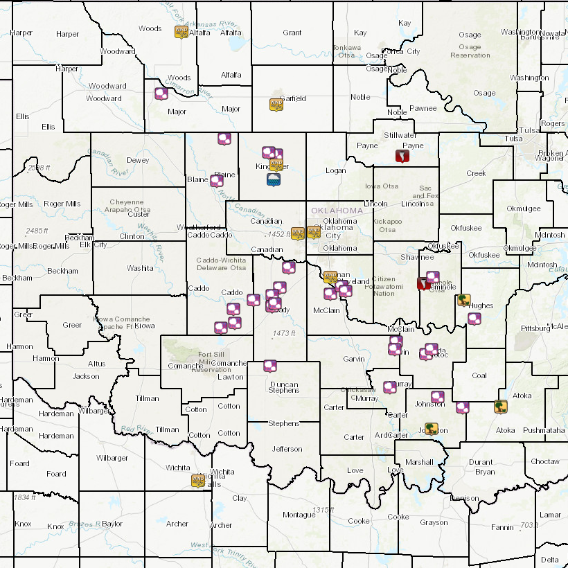
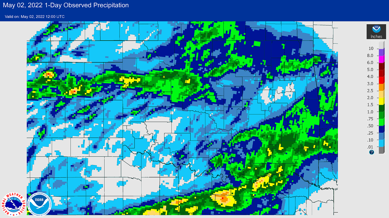
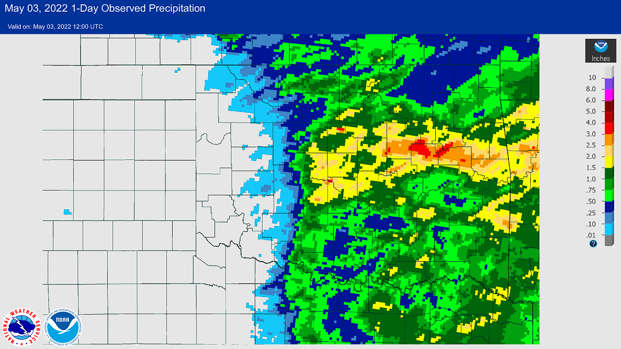
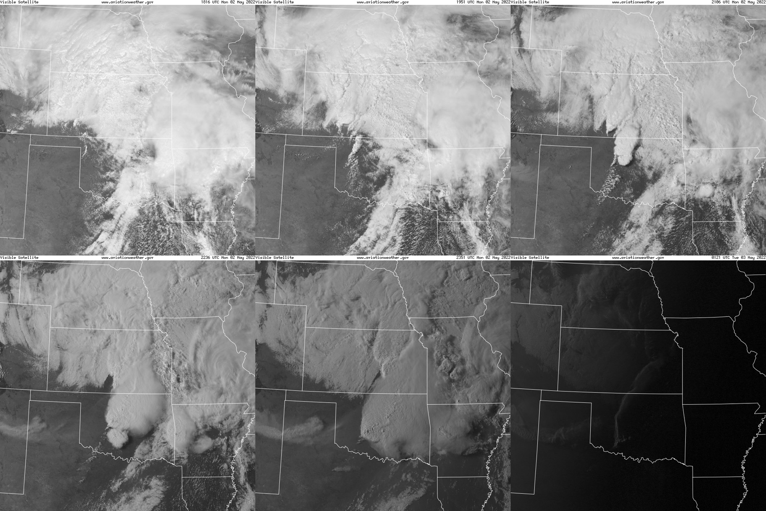
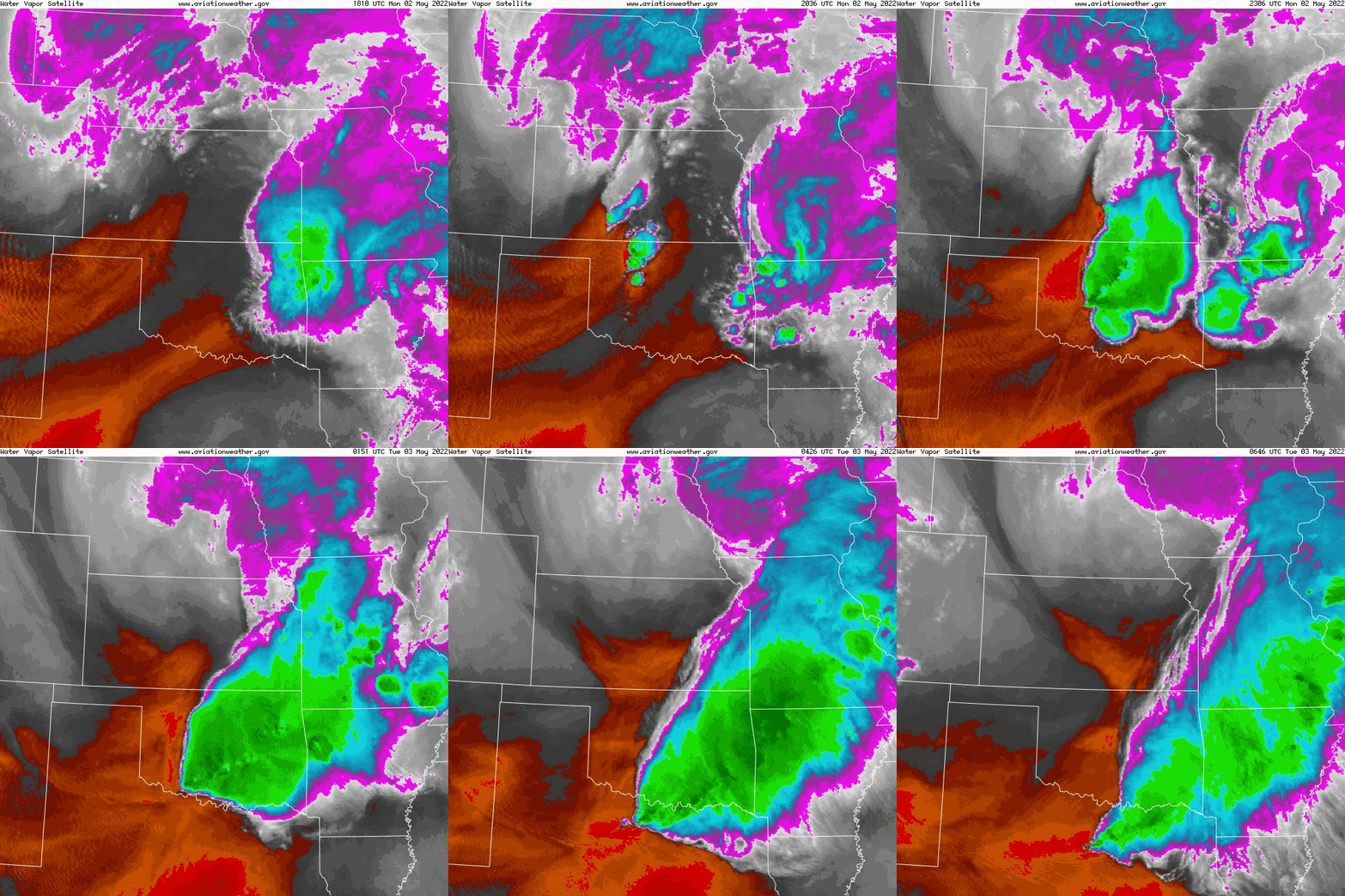
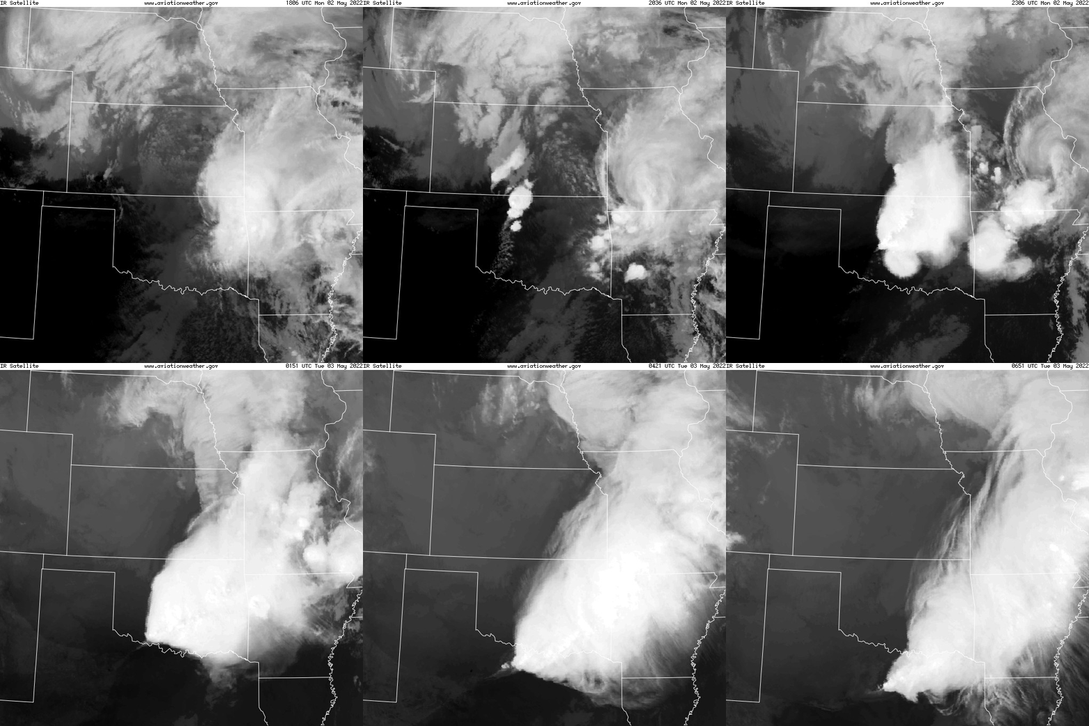
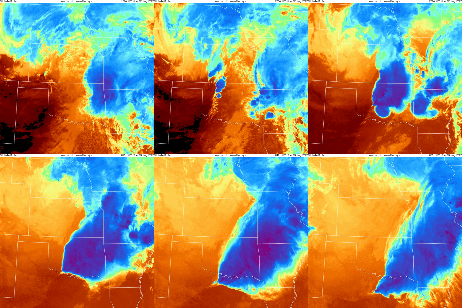
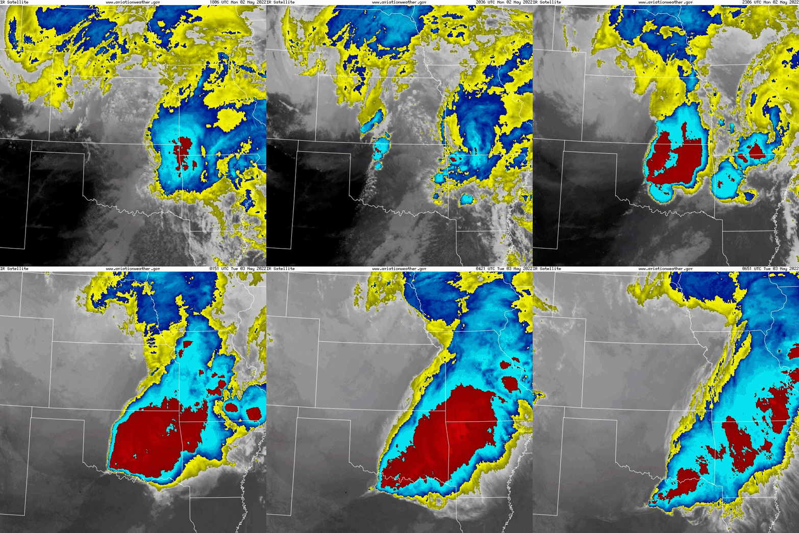
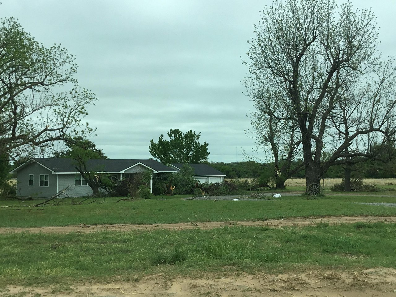
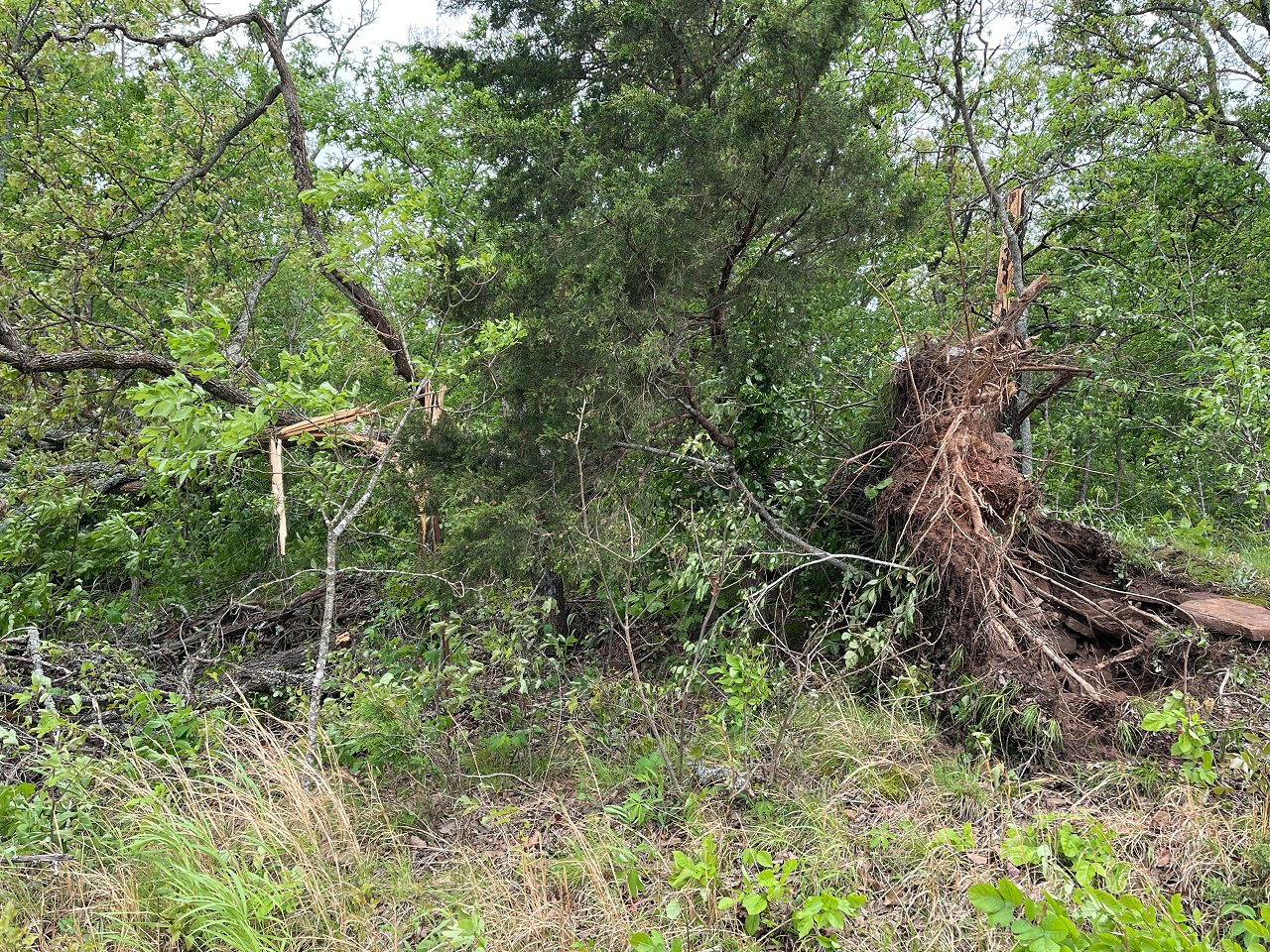
Numerous severe thunderstorms developed across portions of northern and central Oklahoma during the afternoon andevening of May 2, 2022. Storms developed along and just ahead of a fast-moving cold front. As such, storms tended to form into a line quickly after initiation. Still, a pair of semi-discrete supercells persisted across central and north central Oklahoma during the late afternoon into early evening. Given cold temperatures aloft (associated with the main upper-level system), large hail was the main severe hazard type observed with these storms during this event, though a few tornadoes and sporadic wind damage also occurred across the NWS Norman warning area.
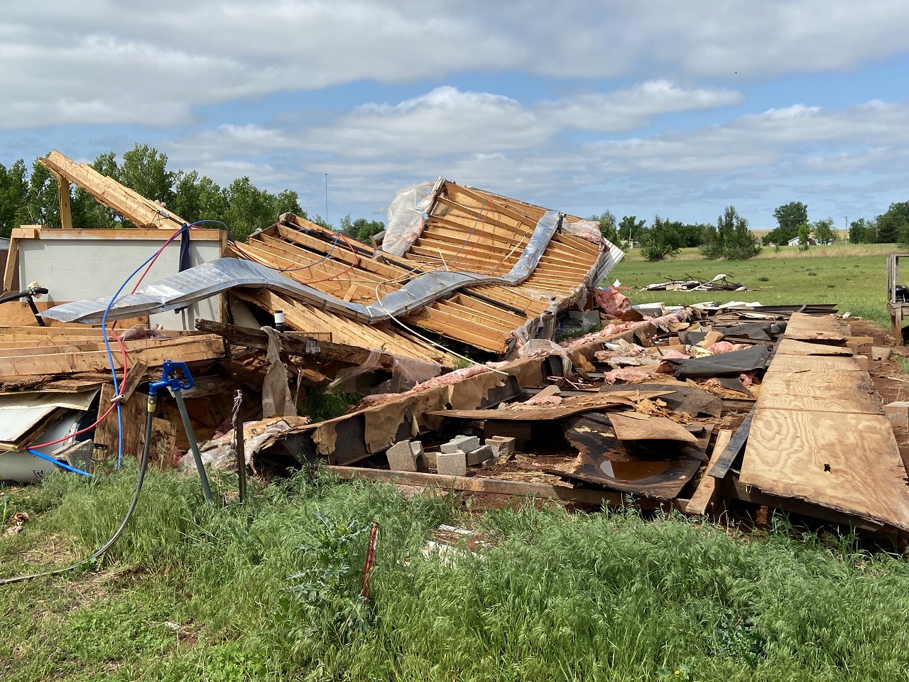
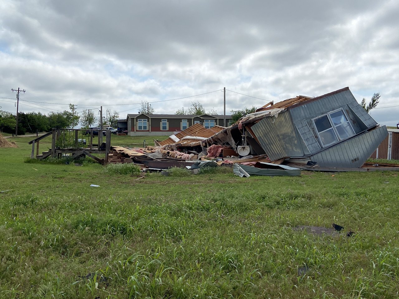
The pair of semi-discrete supercells that traveled across central into north central Oklahoma both became weakly tornadic. The first storm tracked across northern Blaine and Kingfisher counties producing a few brief and weak tornadoes near the town of Loyal, OK. An additional supercell thunderstorm tracked along the U.S. Interstate Highway I-44 corridor from northern Comanche County to Seminole County, OK. The first tornado from this storm significantly damaged a mobile home near the town of Cyril, OK in Caddo County. An additional tornado occurred as the parent supercell began to merge with an expansive quasi-linear convective system (QLCS) along the cold front. This EF-1 tornado moved just south of Seminole, OK, where similar areas would be affected by a significant tornado two days later on May 4, 2022. Additional (weak) tornadoes occurred with the QLCS across Noble and Payne counties.
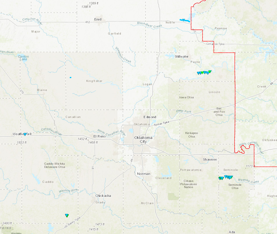
| Tornadoes by Intensity | |||||||
|---|---|---|---|---|---|---|---|
| EFU | EF0 | EF1 | EF2 | EF3 | EF4 | EF5 | Total |
| 0 | 4 | 4 | 0 | 0 | 0 | 0 | 8 |
| Tornado Number |
Date | Time (CST) |
Length of Path (miles) |
Width of Path (yards) |
F-Scale | Killed | Injured | County | Location |
|---|---|---|---|---|---|---|---|---|---|
| 1 | 05/02/2022 | 1513-1514 | 0.6 | 80 | EF0 | 0 | 0 | Kingfisher | 2.5 W Loyal |
| 2 | 05/02/2022 | 1522-1526 | 0.9 | 80 | EF0 | 0 | 0 | Kingfisher | 2 WSW - 2 WNW Loyal |
| 3 | 05/02/2022 | 1536-1538 | 1.6 | 10 | EF0 | 0 | 0 | Caddo | 1.2 SW - 0.7 E Hydro |
| 4 | 05/02/2022 | 1613-1614 | 0.5 | 240 | EF1 | 0 | 0 | Caddo | 1.5 N - 1 NNE Cyril |
| 5 | 05/02/2022 | 1618-1633 | 5.6 | 1400 | EF1 | 0 | 0 | Le Flore | 3.6 ENE Howe - 1.9 NNE Monroe |
| 6 | 05/02/2022 | 1657-1659 | 1.4 | 150 | EFU | 0 | 0 | Noble | 4 NNE - 5 NE Sumner |
| 7 | 05/02/2022 | 1726-1733 | 7 | 500 | EF1 | 0 | 0 | Payne | 3 WSW - 3 E Ripley |
| 8 | 05/02/2022 | 1852-1910 | 6 | 700 | EF1 | 0 | 0 | Seminole | 3 ESE Harjo - 2 SE Seminole |
