
Heat expands across the Desert Southwest, Plains, Mississippi Valley and Midwest into Monday. Fire weather concerns continue for portions of the Intermountain West. Active monsoonal moisture fuels thunderstorms over the Southwest with possible flash flooding. Tropical cyclone Fausto in the Pacific, should weaken as it approaches Hawaii; Dangerous surf, swells and rip currents are expected. Read More >
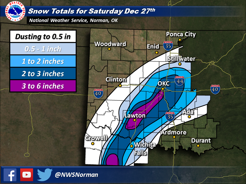
A slow moving arctic front moved through the area on the December 26, 2014. As the front progressed southeastward, sub-freezing air moved into much of western and central Oklahoma and western north Texas. A slow-moving upper level trough was positioned over the southwestern U.S. and provided ample lift along and well behind the front. This pattern is generally unfavorable for widespread accumulating snow, as low level dry air tends to limit potential for precipitation to reach the ground. In this event, low levels remained sufficiently moist and cold dry air was slow to progress eastward. Mesoscale snow bands developed within a narrow corridor from western north Texas up through central Oklahoma, more or less along the I-44 Interstate Highway.
Initial forecasts in the days leading up to the event called for light snow with potentially some very light accumulation. It looked as though any snow bands that formed would be very light and quickly move east. However, as the event unfolded, a region of frontogenetic forcing around 700 mb led to the development of moderate to heavy snow bands. These bands were nearly stationary for much of the morning, resulting in localized 4 to 6 inch snowfall totals from Chickasha and Lawton down to Seymour, TX. The snow bands slowly progressed eastward through the afternoon as drier low level air moved in and the slow moving upper trough finally shifted eastward.
Once the event had ended, Oklahoma City measured 3.5 inches of storm-total snow, a new record for December 27th. The old record of 1.3 inches from 1968 was smashed! In addition, snow had never fallen on December 27th in Wichita Falls, so the 2.0 inches of snow that fell became the new daily snowfall record.
Total Snowfall Amounts for the February 5-6, 2014 Winter Weather Event in Southern Oklahoma and North Texas
PRELIMINARY LOCAL STORM REPORT...SUMMARY
NATIONAL WEATHER SERVICE NORMAN OK
949 AM CST SUN DEC 28 2014

..TIME...   ...EVENT...      ...CITY LOCATION...     ...LAT.LON...
..DATE...   ....MAG....      ..COUNTY LOCATION..ST.. ...SOURCE....
            ..REMARKS..

1100 AM     SNOW             SEYMOUR                 33.60N 99.26W
12/27/2014  E3.5 INCH        BAYLOR             TX   DEPT OF HIGHWAYS

1100 AM     HEAVY SNOW       LAWTON                  34.60N 98.42W
12/27/2014  E6.0 INCH        COMANCHE           OK   911 CALL CENTER

            MULTIPLE REPORTS OF 4 TO 6 INCHES OF SNOW IN AND AROUND
            LAWTON.

1100 AM     SNOW             ELECTRA                 34.03N 98.92W
12/27/2014  E2.0 INCH        WICHITA            TX   PUBLIC

            FROM SOCIAL MEDIA

1130 AM     SNOW             MEDICINE PARK           34.73N 98.50W
12/27/2014  E3.0 INCH        COMANCHE           OK   PUBLIC

            FROM SOCIAL MEDIA.

1130 AM     SNOW             NORMAN                  35.22N 97.44W
12/27/2014  E2.5 INCH        CLEVELAND          OK   NWS EMPLOYEE

1130 AM     SNOW             ANADARKO                35.07N 98.24W
12/27/2014  E2.0 INCH        CADDO              OK   LAW ENFORCEMENT

            ESTIMATED AN INCH AND A HALF TO TWO INCHES.

1140 AM     SNOW             BRIDGE CREEK            35.23N 97.72W
12/27/2014  E3.5 INCH        GRADY              OK   PUBLIC

1200 PM     HEAVY SNOW       ELGIN                   34.78N 98.29W
12/27/2014  M4.5 INCH        COMANCHE           OK   PUBLIC

1200 PM     SNOW             OKLAHOMA CITY           35.47N 97.51W
12/27/2014  E3.0 INCH        OKLAHOMA           OK   PUBLIC

            VARIOUS REPORTS FROM SOCIAL MEDIA RANGING FROM 2.5 TO 3
            INCHES.

1200 PM     SNOW             DUNCAN                  34.52N 97.97W
12/27/2014  E2.3 INCH        STEPHENS           OK   PUBLIC

1200 PM     SNOW             SHEPPARD AFB            33.98N 98.50W
12/27/2014  M2.0 INCH        WICHITA            TX   TRAINED SPOTTER

            MEASURED BY THE OBSERVER AT KSPS

1200 PM     SNOW             WALTERS                 34.36N 98.31W
12/27/2014  M2.4 INCH        COTTON             OK   PUBLIC

1200 PM     SNOW             MUSTANG                 35.39N 97.72W
12/27/2014  E3.5 INCH        CANADIAN           OK   PUBLIC

1230 PM     SNOW             MIDWEST CITY            35.46N 97.37W
12/27/2014  M3.0 INCH        OKLAHOMA           OK   PUBLIC

            VARIOUS MEASURMENTS AND ESTIMATES OF 2.5 TO 3 INCHES FROM
            SOCIAL MEDIA.

1230 PM     HEAVY SNOW       CHICKASHA               35.04N 97.95W
12/27/2014  E4.0 INCH        GRADY              OK   PUBLIC

1230 PM     HEAVY SNOW       AMBER                   35.16N 97.88W
12/27/2014  E4.0 INCH        GRADY              OK   PUBLIC

1230 PM     SNOW             TINKER AIR FORCE BASE   35.42N 97.39W
12/27/2014  M2.5 INCH        OKLAHOMA           OK   OTHER FEDERAL

0100 PM     SNOW             NEWCASTLE               35.25N 97.60W
12/27/2014  E3.5 INCH        MCCLAIN            OK   NWS EMPLOYEE

0112 PM     SNOW             1 N ELMORE CITY         34.64N 97.40W
12/27/2014  M2.0 INCH        GARVIN             OK   PUBLIC

0130 PM     SNOW             DUNCAN                  34.52N 97.97W
12/27/2014  M3.5 INCH        STEPHENS           OK   CO-OP OBSERVER
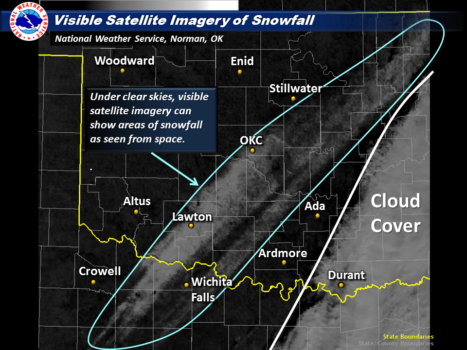
Visible Satellite Image on December 27, 2014 Showing the Snow Field in North Texas and Oklahoma
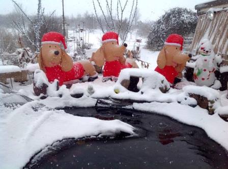
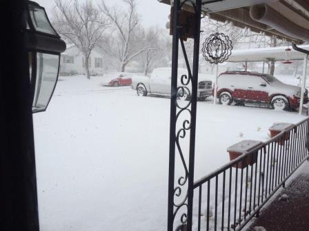 Andrew Mahre - Lawton, OK |
 Anita Bailey - Lawton, OK |
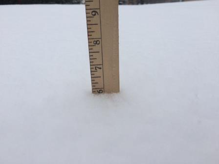 Robb Chapman - Lawton, OK |
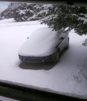
 Bryan Draper - Wichita Falls, TX |
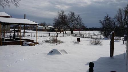
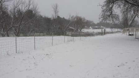
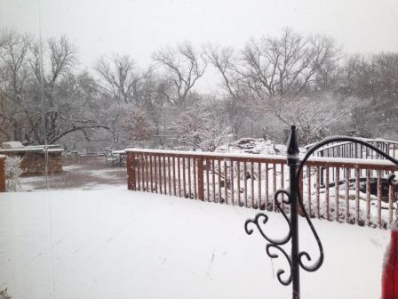 Bryan Jones - So. Comanche County, OK |
 Christy Burgess - Elgin, OK |
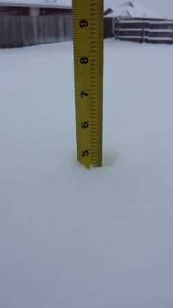
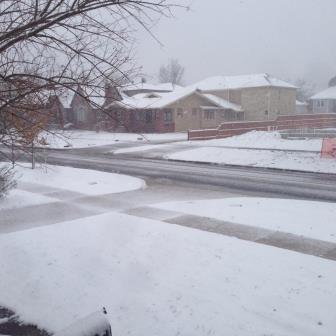
 Donna Strother - Bridge Creek, OK |
 Donna Strother - Bridge Creek, OK |
 Rebecca - Bridge Creek, OK |
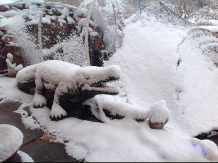
 Gena Downey - Cement, OK |
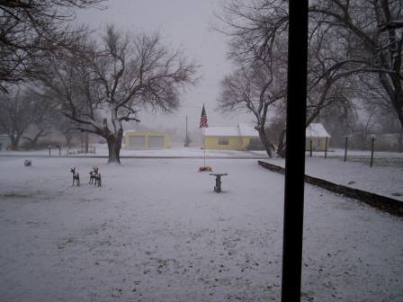
 Jill Bender - Norman, OK |
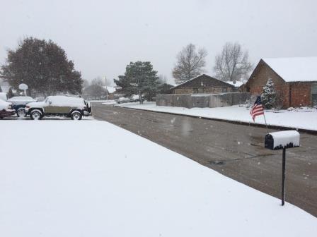
 Linda Beckwith - Duncan, OK |
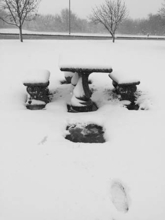
 Liz Loizos - Choctaw, OK |
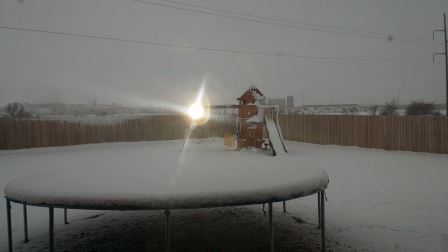
 Matt Wolters - Midwest City, OK |
 Rachel Wrenn - Midwest City, OK |
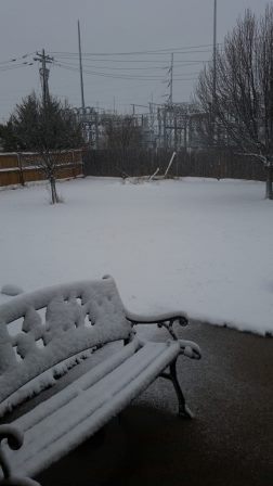 Rob McCutchan - Moore, OK |
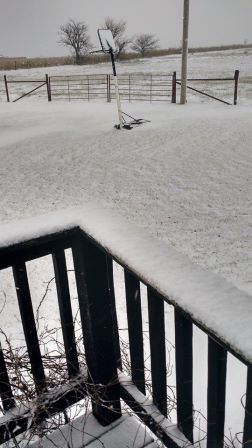 Sheila Mattingly - Minco, OK |
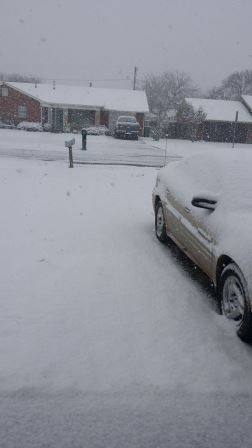 Talitha King - Walters, OK |

