Thunderstorms quickly developed along a slow-moving cold front that was located near I-44 by late afternoon. Several locations reported wind gusts well over 60 mph, with the highest measured gust of 82 mph! Large hail to baseball size was also reported. Many communities reported damage as a result of the high winds, large hail, or a combination of both.
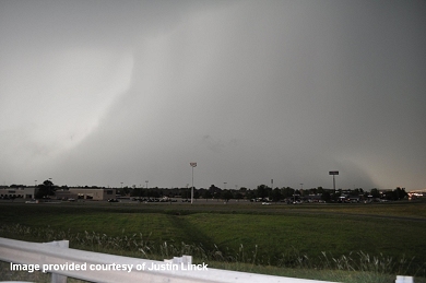 Photo provided courtesy of Justin Linck. Taken at I-35 and Main St in Norman looking NW. |
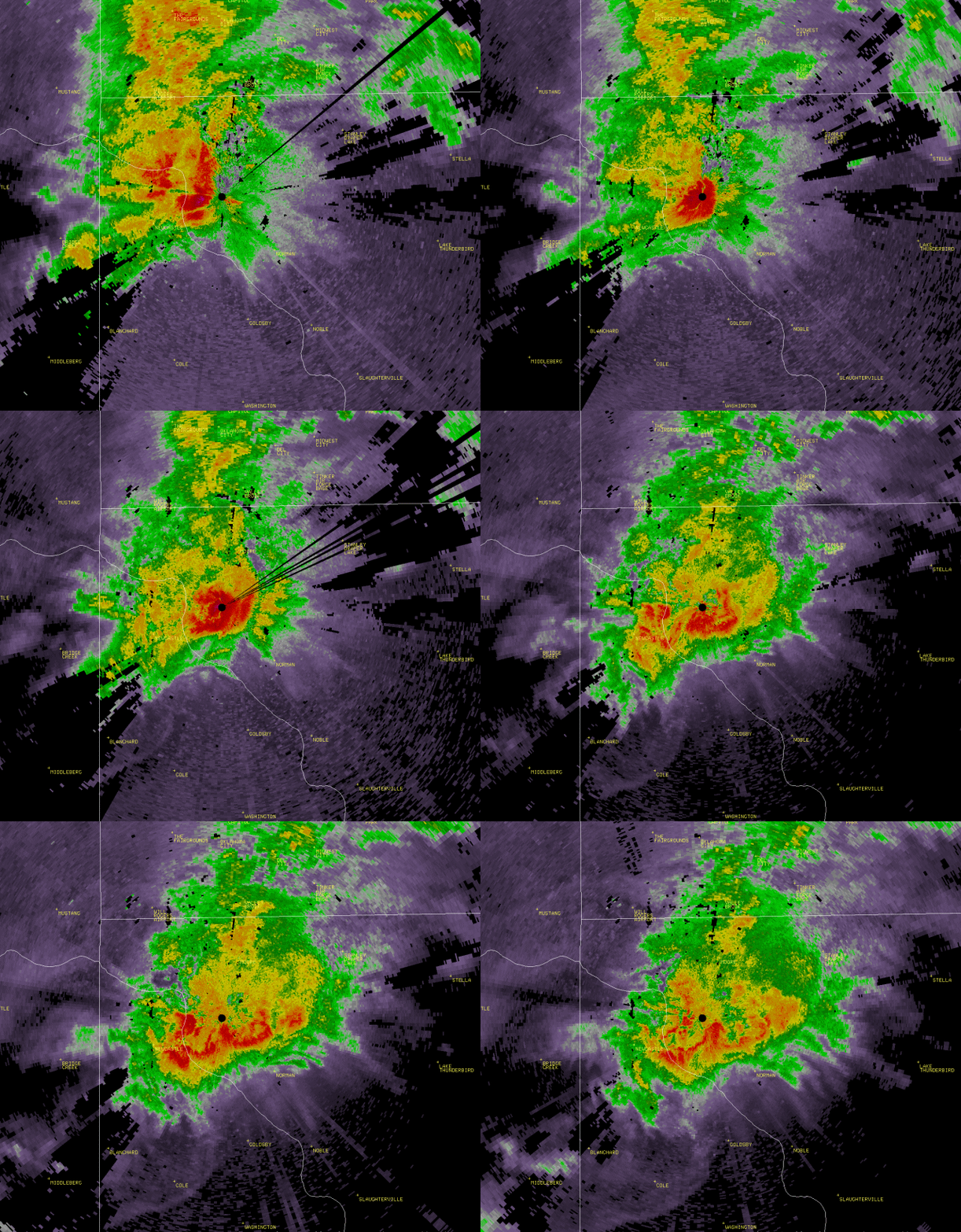 To See a Radar Animation, Click the Above Image. |
From approximately 7:20 pm to 7:45 pm, a wet downburst affected areas in and around Norman and southeast Oklahoma City, Oklahoma. Intense rainfall was accompanied by hail up to golf-ball size and winds that were measured at over 80 mph. Damage was reported over much of the city, with the most intense damage occurring over the northern half of the city. Almost 33,000 residents were without power, some still without power over 24 hours later. This was due to the numerous power poles/lines that were snapped or blown down. In addition to the high wind, hail up to golf ball size fell almost horizontally, damaging siding, shattering store signs, and denting automobiles. The highest measured wind gust occurred near SE 12th and Boyd, where the anemometer recorded 82 mph before it malfunctioned due to the wind blown hail. The Norman mesonet site also measured a gust of 70 mph. A quick inch of rain occurred in about 15 to 20 minutes, which resulted in some minor flash flooding. Here are a few facts about yesterdays severe weather event:
Downbursts occur when precipitation in a thunderstorm drags air downward to the ground at high speeds, and it then spreads out along the ground. For more information, see this page from the NWS JetStream Online Weather School.
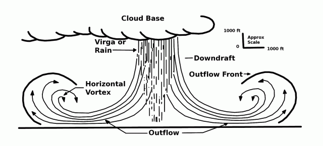

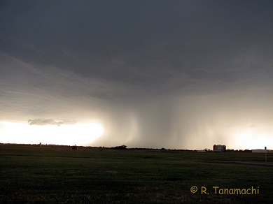 Photo taken at Max Westheimer Airport - (Robin Tanamachi) |
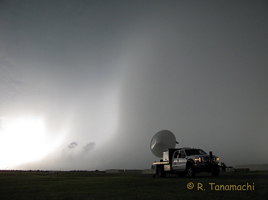 Photo taken at Max Westheimer Airport - (Robin Tanamachi) |
Video provided courtesy of Jim LaDue
Video provided courtesy of Ashton Robinson Cook
Video provided courtesy of Robin Tanamachi
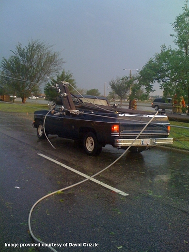 Photo taken near 12th Street and Robinson - Griffin Park (David Grizzle) |
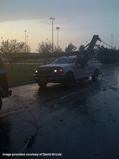 Photo taken near 12th Street and Robinson - Griffin Park (David Grizzle) |
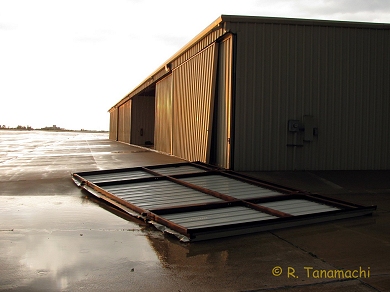 Wind Damage at Max Westheimer Airport - (Robin Tanamachi) |
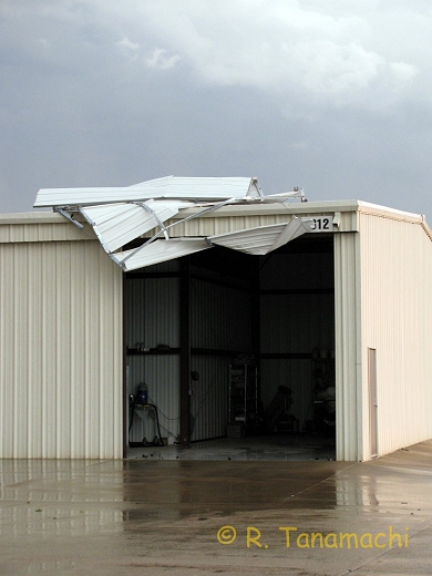 Wind Damage at Max Westheimer Airport - (Robin Tanamachi) |