Thunderstorms developed early in the afternoon of February 10, 2009 from near the Lawton area, northeast toward the Oklahoma metro area. Thunderstorms became severe relatively quickly as they moved through Caddo and Grady counties, and began to show signs of rotation as they moved toward western Oklahoma City. One supercell thunderstorm spawned several tornadoes as it moved northeast through central Oklahoma. Sporadic damage was reported alongthe storm's path, with some of the damage being significant as the supercell moved through northern Oklahoma county and southern Logan county. Other supercells developed near the same areas of Caddo and Grady Counties and also moved northeast. Some locations received several rounds of very large hail through the afternoon.
| KTLX Radar Imagery for the Lone Grove, OK Tornado at 7:26 pm CST on 2/10/2009 | |
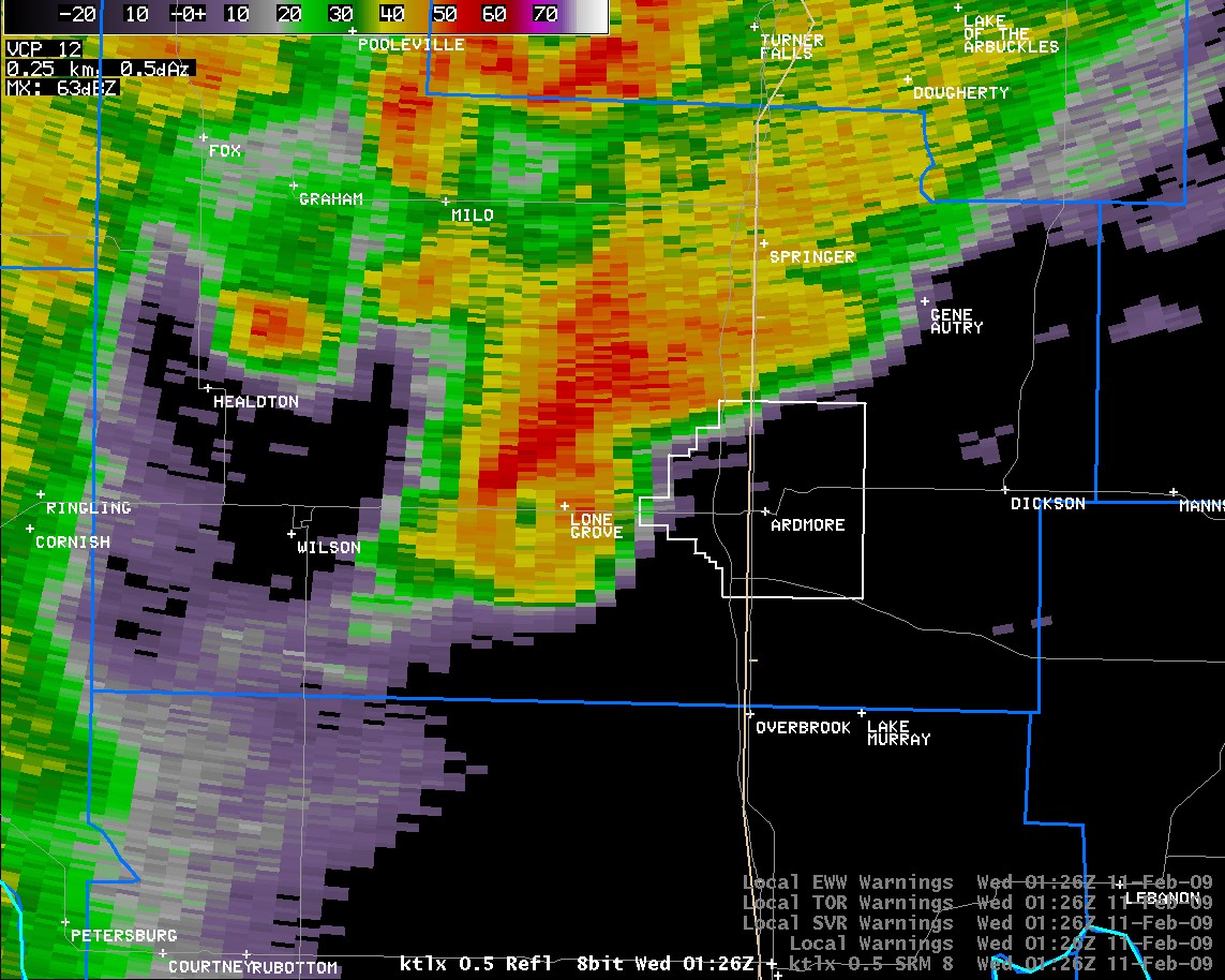 Reflectivity |
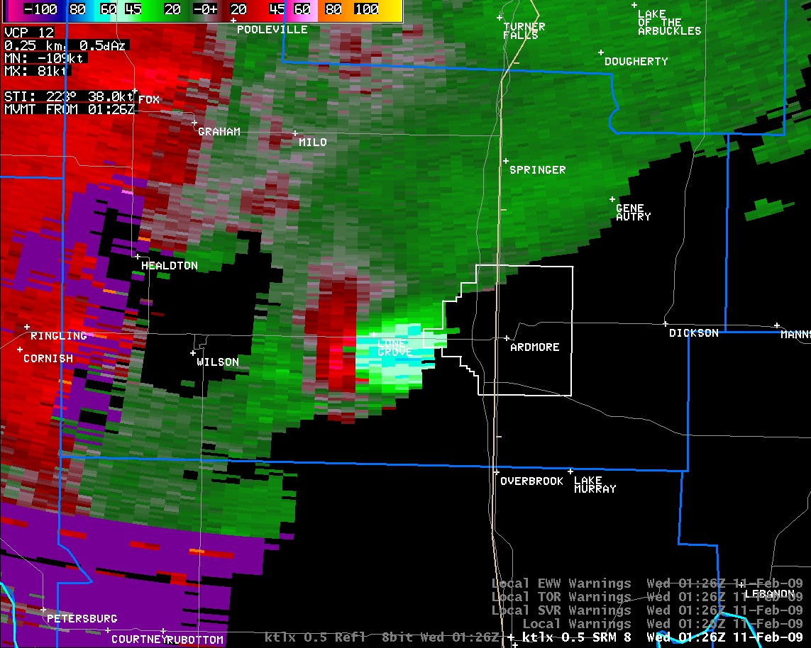 Storm Relative Velocity |
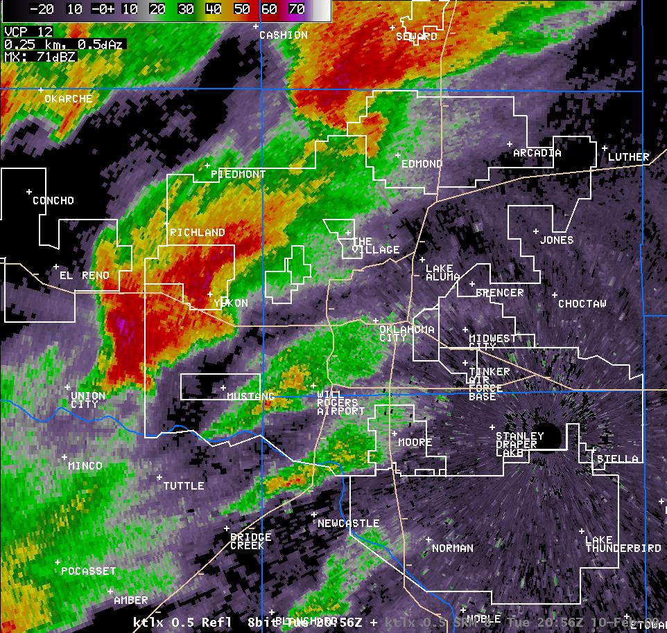
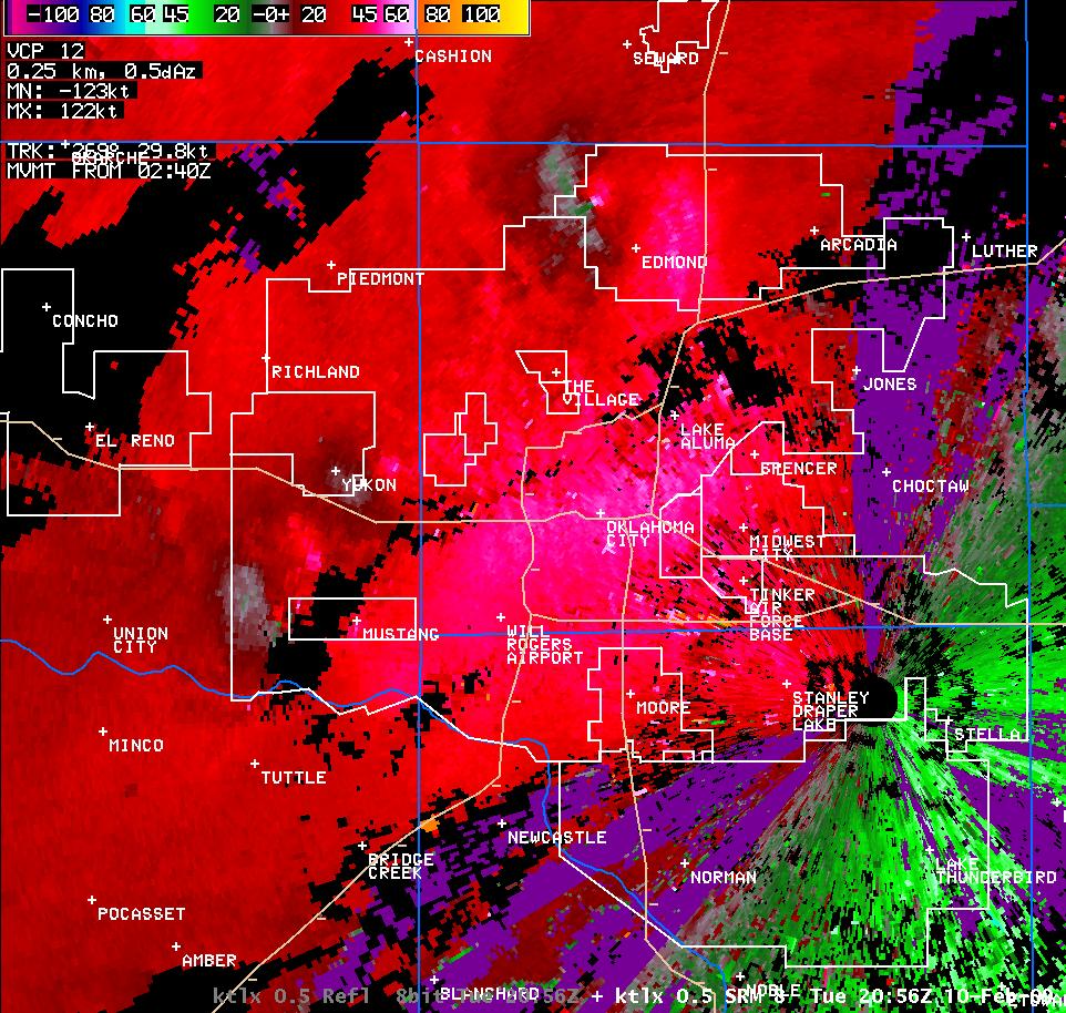
| KTLX Radar Imagery for the Edmond, OK Tornado at 2:56 pm CST on 2/10/2009 | |
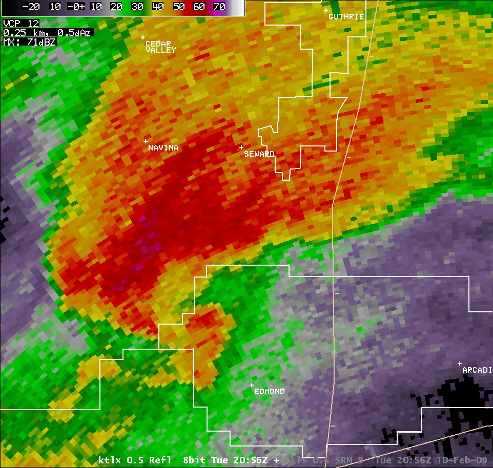 Reflectivity |
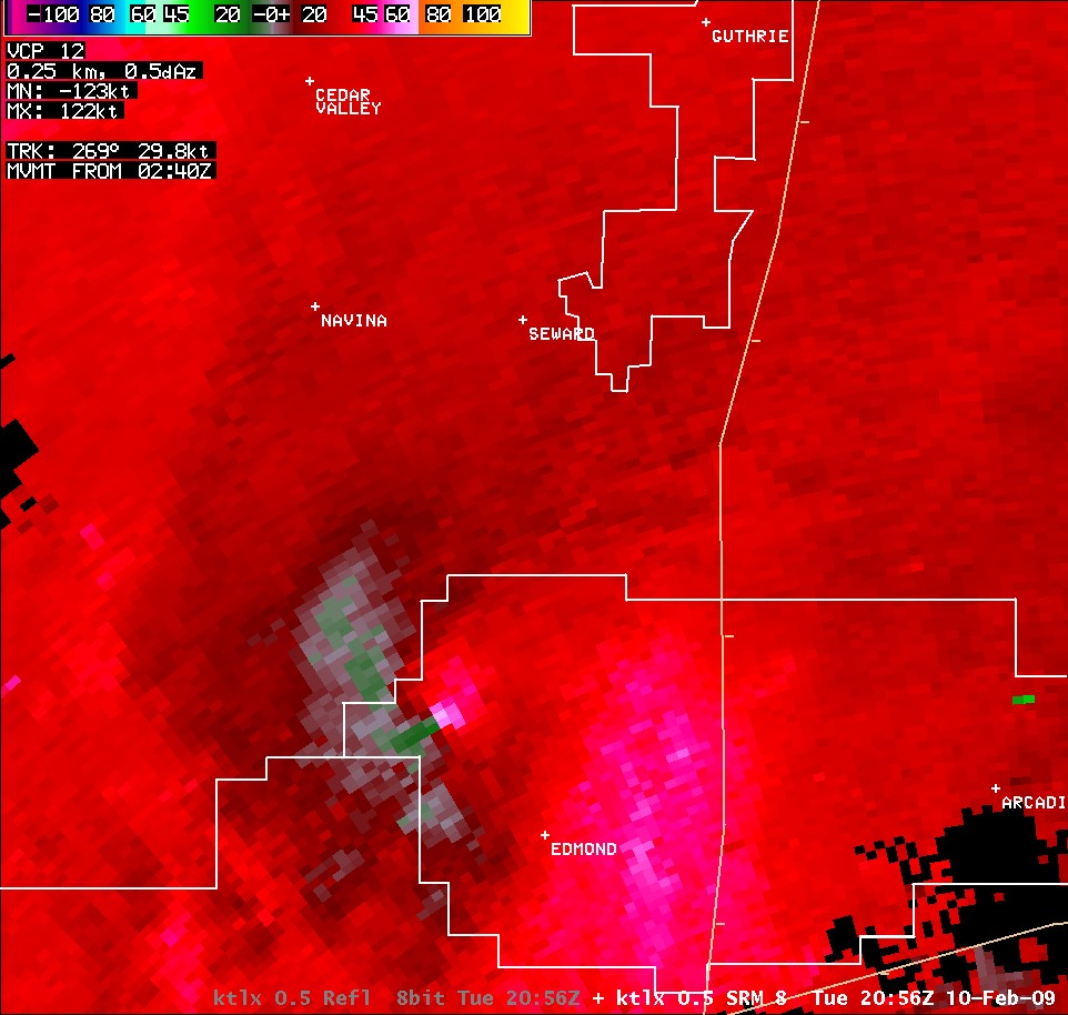 Storm Relative Velocity |
Below is a table containing links to GIS data for damage surveys and paths for some of the February 10, 2009 tornadoes in the Lone Grove, OK area as well as Central Oklahoma. The KMZ data for Central Oklahoma cover the 3 tornadoes surveyed from northwest Oklahoma City northeast toward Stillwater. There is also a zip file available for each area which contains all ESRI shapefiles.
| GIS Info for the February 10, 2009 Tornadoes | |
|---|---|
| Location | kmz |
| Lone Grove, OK | kmz |
| Central Oklahoma | kmz |
| Warning Polygons | kmz |
| Other Storm Reports | kmz |
There have been over 50 documented February tornadoes within the state of Oklahoma between 1950 and the present.
Prior to the Lone Grove tornado, there have been two other deadly tornadoes in February in Oklahoma since 1950, both occurring on February 22, 1975 in southwestern Oklahoma. On that day, one tornado struck Altus, killing two people, and another tornado killed one person near Mountain Park. These were two of six tornadoes that struck between midnight and 3 am in Oklahoma.
Prior to the Lone Grove tornado, rated EF-4, the strongest tornadoes to have occurred within Oklahoma in February since 1950 are two F3 tornadoes both that struck on February 17, 1961. One F3 tornado occurred in eastern Oklahoma county from near Spencer to northeast of Luther, and the other F3 tornado was part of a tornadic storm that moved from near Stratford to Konawa, Wewoka and to south of Shulter.
A total of 6 confirmed tornadoes from the February 10, 2009 event ties February 2009 with February 1975 for the most tornadoes to have occurred in Oklahoma during the month of February since official records began in 1950.
The 8 confirmed deaths associated with the Lone Grove, OK tornado ties it with the Morris tornado as the seventh deadliest tornado since 1950 in Oklahoma. This F3 tornado killed 8 people in the town of Morris, OK on April 26, 1984.
Prior to Tuesday, February 10, 2009, the last February tornado in Oklahoma occurred on February 25, 2000 in Tulsa.
| Deadliest Tornadoes in Oklahoma since 1950 | ||||
|---|---|---|---|---|
| 1 | 36 | 5/03/1999 | F5 | Bridge Creek-Oklahoma City-Moore |
| 2 | 24 | 5/20/2013 | EF5 | Newcastle-South Oklahoma City-Moore |
| 3 | 20 | 5/25/1955 | F5 | Blackwell |
| 4 (tie) | 16 | 5/05/1960 | F4 | Wilburton-Keota |
| 16 | 5/05/1961 | F4 | Talihina-Reichert-Howe | |
| 6 | 14 | 6/08/1974 | F4 | Drumright-Olive-Lake Keystone |
| 7 | 10 | 1/22/1957 | F4 | Gans |
| 8 (tie) | 8 | 4/26/1984 | F3 | Morris |
| 8 | 2/10/2009 | EF4 | Lone Grove-Ardmore | |
| 10 (tie) | 7 | 5/09/1959 | F4 | North Of Harden City and Stonewall |
| 7 | 4/24/1993 | F4 | Catoosa | |
| Deadliest Tornadoes in Oklahoma since 1882 | ||||
|---|---|---|---|---|
| 1 | 116 | 4/09/1947 | F5 | Woodward |
| 2 | 97 | 5/10/1905 | F5 | Snyder |
| 3 | 71 | 5/02/1920 | F4 | Peggs |
| 4 | 69 | 4/12/1945 | F5 | Antlers |
| 5 | 52 | 4/27/1942 | F4 | Pryor |
| 6 | 36 | 5/03/1999 | F4 | Bridge Creek-Oklahoma City-Moore |
| 7 | 35 | 6/12/1942 | F4 | Oklahoma City (Southwest) |
| 8 | 33 | 4/25/1893 | F4 | Cleveland County |
| 9 | 24 | 5/20/2013 | F5 | Newcastle-South Oklahoma City-Moore |
| 10 | 23 | 11/19/1930 | F4 | Bethany |
The potential for an outbreak of severe weather on February 10, 2009 was forecast well in advance. The Day 4-8 Convective Outlook issued by the Storm Prediction Center (SPC) on Saturday, February 7, 2009 mentioned the risk for severe weather in the Southern Plains on Tuesday:
...IS EXPECTED TO SUPPORT INCREASING CONVECTIVE POTENTIAL...INCLUDING A
CONSIDERABLE RISK FOR SEVERE STORMS.  THIS MAY COMMENCE LATE TUESDAY
AFTERNOON ACROSS PARTS OF THE SOUTHERN PLAINS...
After Saturday, February 7, 2009, the potential for severe weather was highlighted in subsequent forecasts. By Tuesday, February 10, 2009, there was a Moderate Risk (issued by the SPC) of severe weather in place across much of Central and Eastern Oklahoma. The NWS Norman Hazardous Weather Outlook (HWO) at 6:50 am CST mentioned the potential for tornadoes east of the dryline across Central Oklahoma.
 |
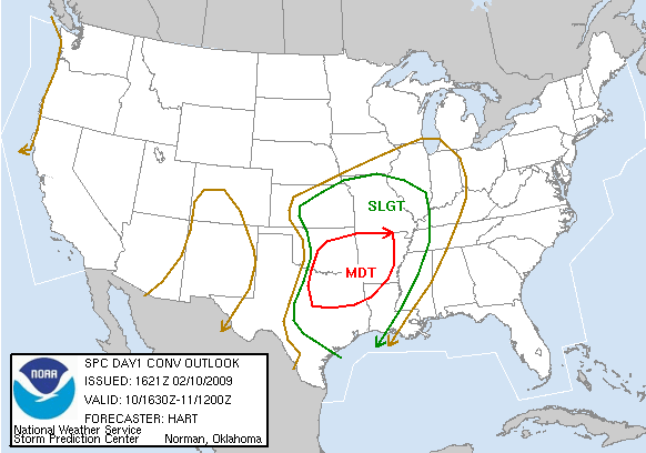 |
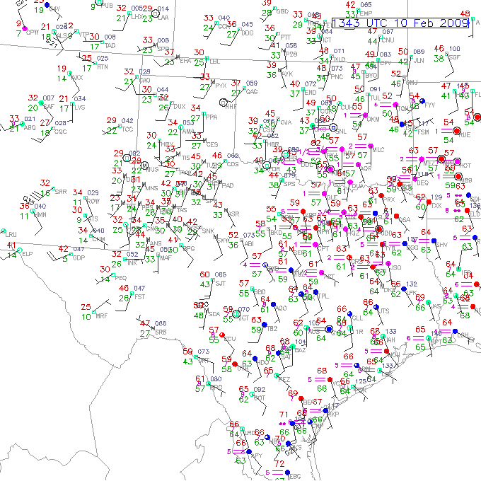
| Surface observations at 7:43 am CST, February 10, 2009 | SPC Convective Outlook 10:30 am CST on February 10, 2009 |
Tuesday, February 10, 2009 began unlike most severe weather days in Oklahoma. The morning low in Oklahoma City at Will Rogers Airport dipped down to 40 degrees, and the temperature was in the 40s for most of the morning commute. In fact, temperatures across all of Oklahoma and Western North Texas ranged from 30 degrees northwest to the mid 50s southeast (pictured above, left). The fog being reported in Southeast Oklahoma in that image was evidence of low-level moisture shifting back to the northwest.
The moisture return continued through the morning hours, eventually setting up a broad area of upper 50s and lower 60s surface dewpoints generally along and west of Interstate 44, and along and south of Interstate 40. The low-level moisture return, combined with relatively strong surface heating and cooling air aloft, created a very unstable atmosphere, especially for early February. The moisture and instability can be seen in the maps pictured below, taken from the SPC Mesoanalysis Archive. As a result, the images were generated by the RUC model.
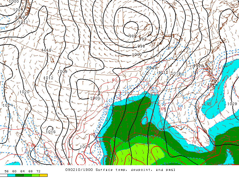 |
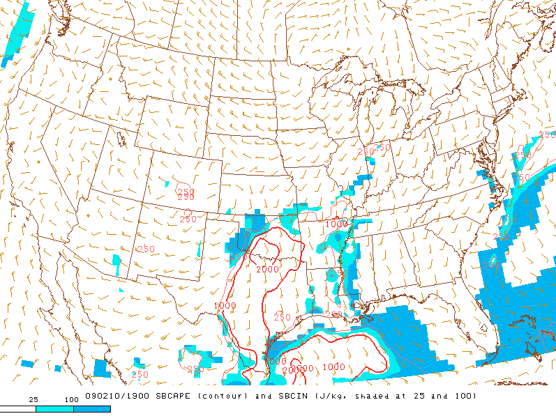 |
| Surface Dewpoint Contours at 1:00 pm CST, February 10, 2009 | CAPE Contours at 1:00 pm CST, February 10, 2009 |
As would be expected, the area of greatest moisture return featured partly sunny skies with abundant cumulus. This can be seen in the first satellite image shown below, which is a visible satellite image taken at 12:45 pm CST. In that image, you can also see the ragged beginnings of a few thunderstorms, stretching from near Lawton, northeast to near Ponca City. It was around 1 PM that showers and thunderstorms began developing along the leading edge of the moisture return and the surface front.
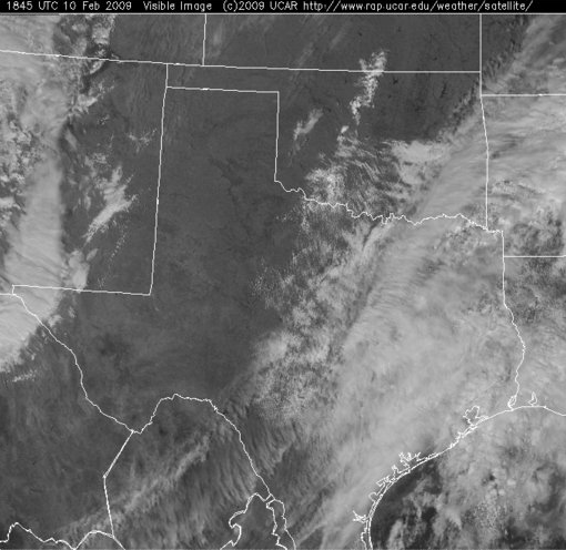 |
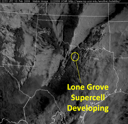 |
| Visible Satellite Image at 12:45 pm CST, February 10, 2009 | Visible Satellite Image at 4:33 pm CST, February 10, 2009 |
Although thunderstorms developed all along the length of the front, the most intense storms in the early afternoon developed near the Wichita Mountains in Comanche County around 1:00 pm CST. The tornadic supercell, which happened to be the one that first crossed the Oklahoma City metropolitan area (OKC metro), moved northeast through Caddo and Grady Counties over the next 30 to 45 minutes. This supercell reached Southeast Canadian County around 2:00 pm CST, mainly producing large hail and gusty winds up until that point.
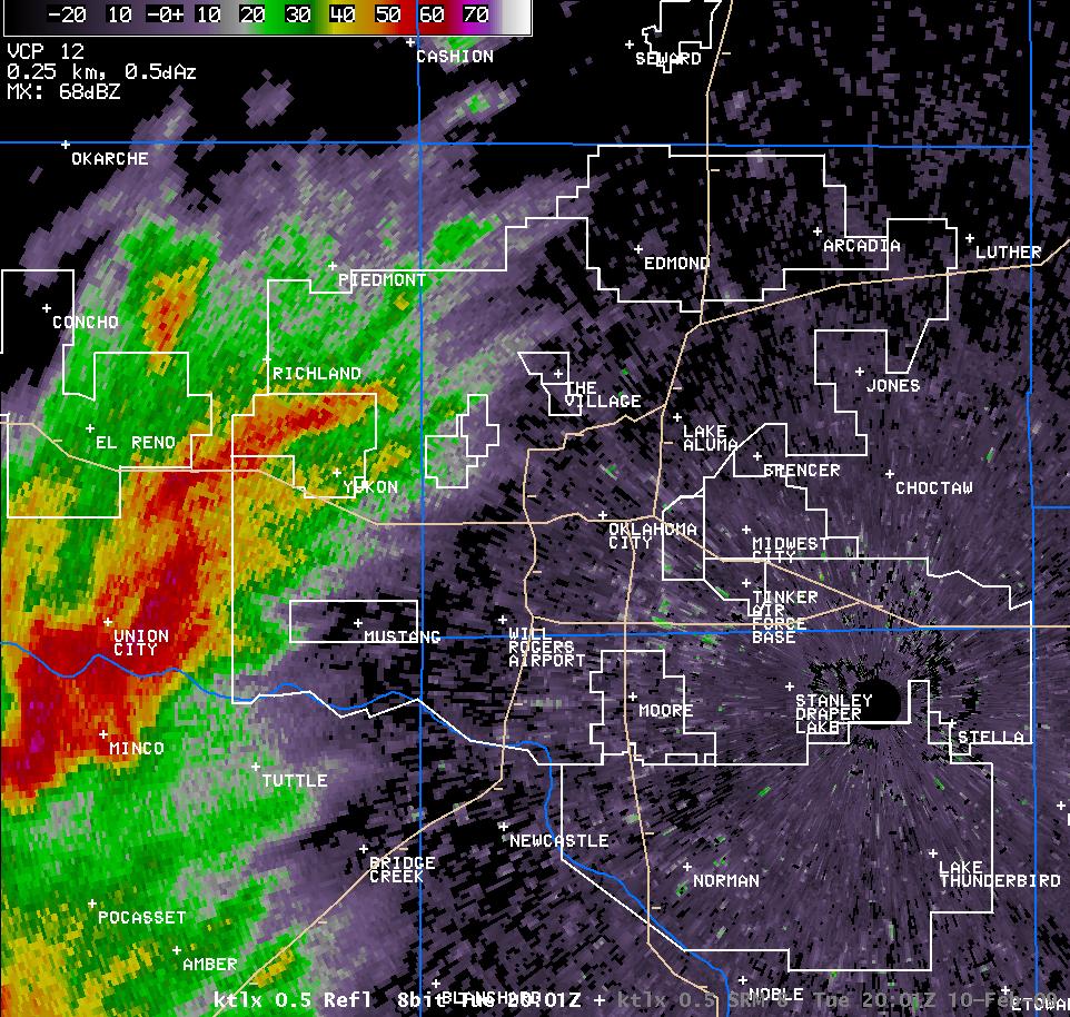
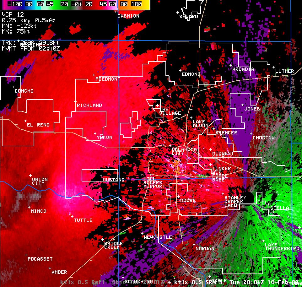
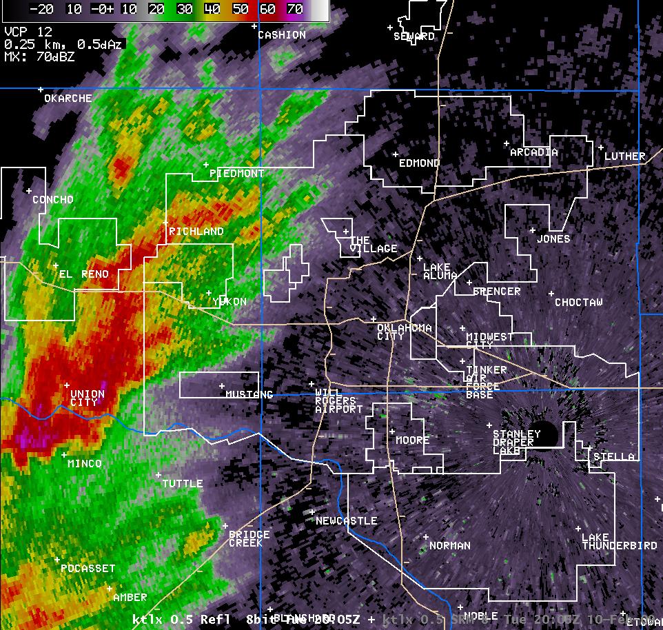
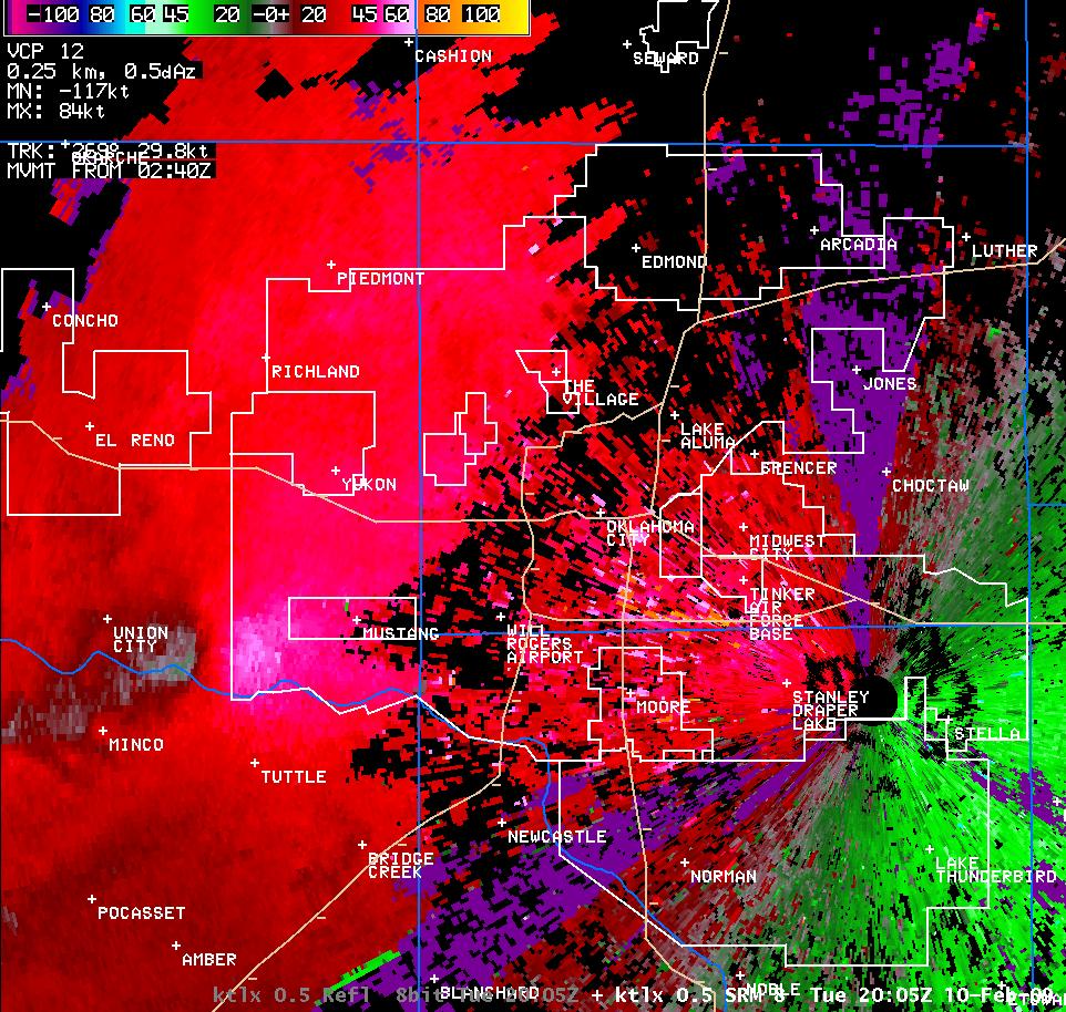
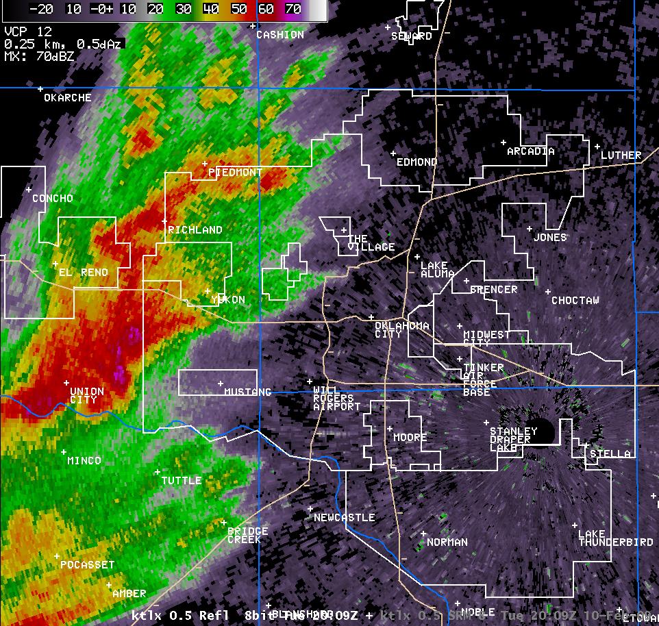
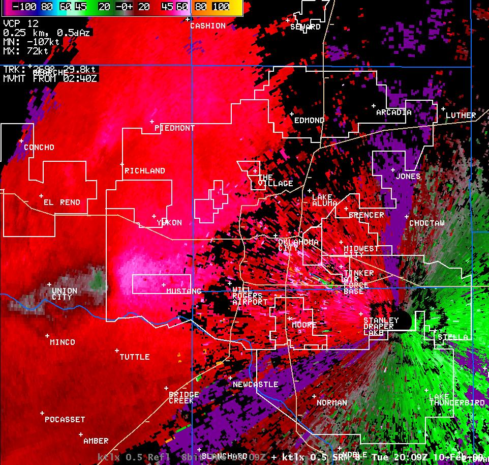
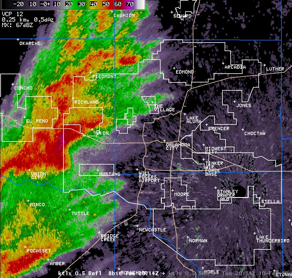
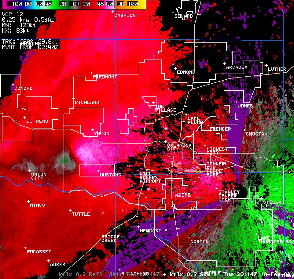
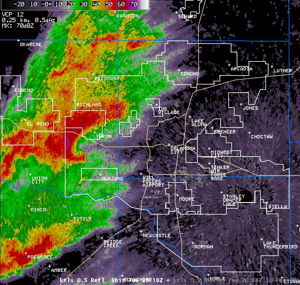
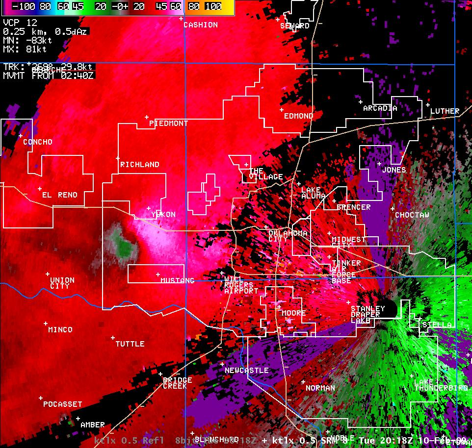
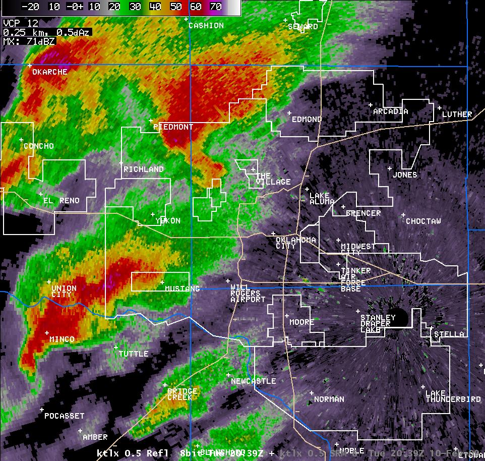
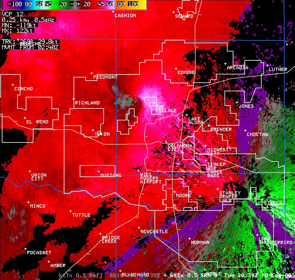
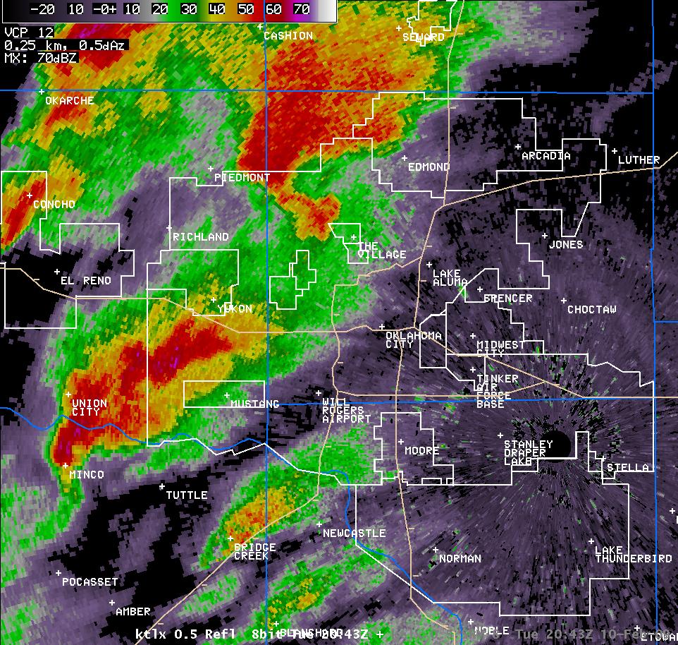
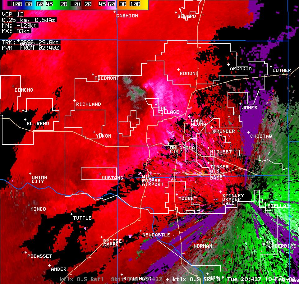
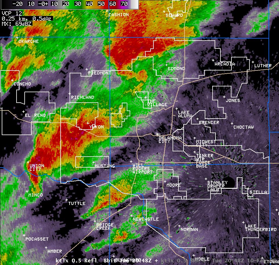
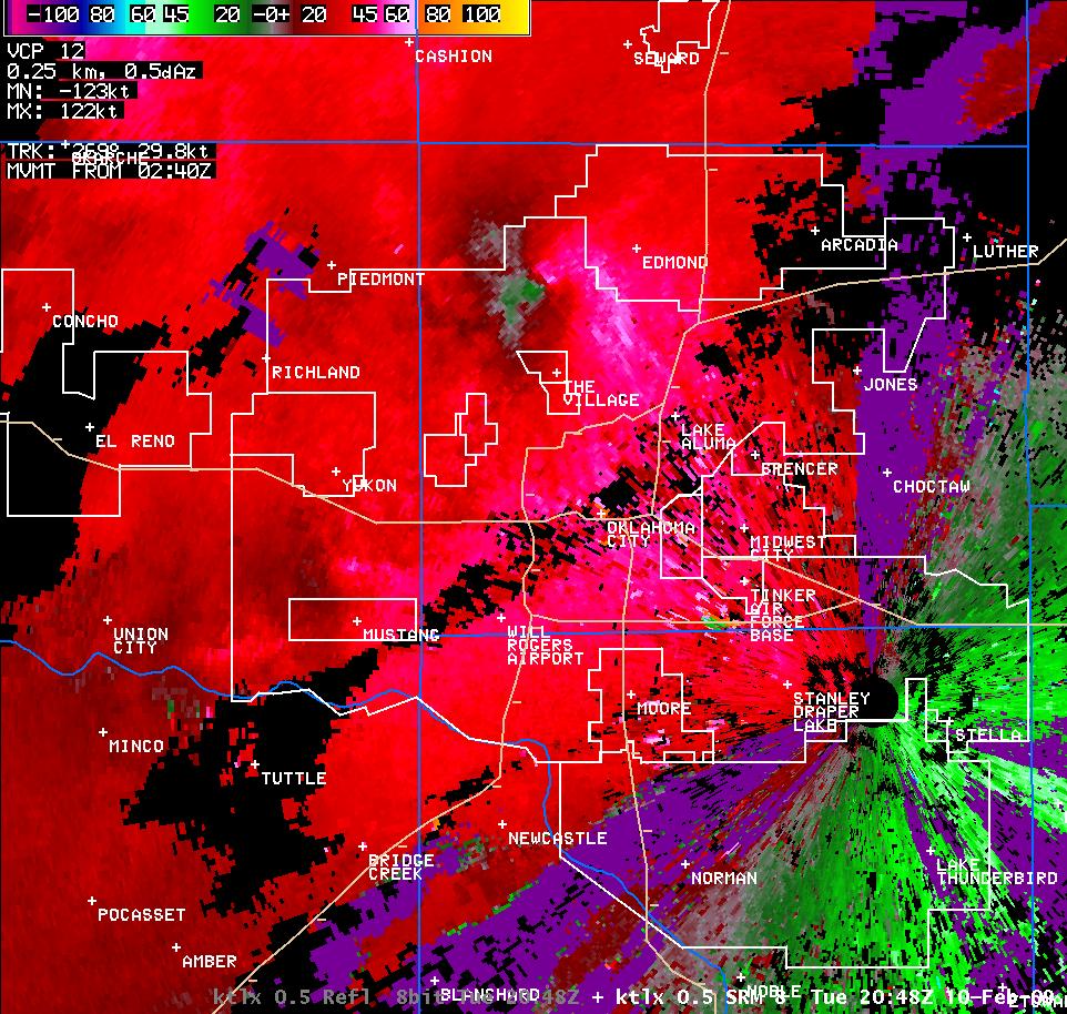
However, as the supercell moved closer to Yukon, it began to show signs of becoming tornadic. By 2:14 pm CST, it was beginning to develop a hook echo, and by 2:18 pm CST, the hook echo was fully developed. The rapid development of this hook echo signature, along with an increasingly strong velocity couplet on SRM, prompted a Tornado Warning at 2:17 pm CST.
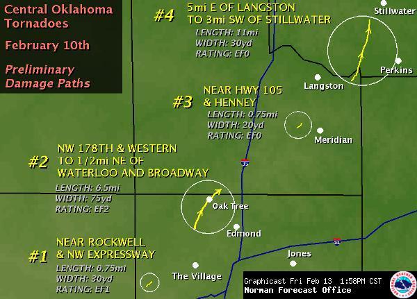
Over the next 10 to 15 minutes, a few wall cloud reports were received from the Yukon area and into the western portions of Oklahoma City. At 2:36 pm CST, the first tornado of the day occurred near Northwest Expressway and Rockwell on the northwest side of Oklahoma City.
| Products Issued for the Oklahoma County Tornadoes | |
| 2:12 pm CST | Significant Weather Advisory Oklahoma County |
| 2:17 pm CST | Tornado Warning SE Canadian and NW Oklahoma |
| 2:26 pm CST | Warning Continues for Canadian/Oklahoma Counties |
| 2:35 pm CST | Warning Continues for Canadian/Oklahoma Counties |
| 2:44 pm CST | New Tornado Warning NW Oklahoma County and Srn Logan County |
| 2:51 pm CST | Warning Continues for Oklahoma/Logan Counties |
| 2:59 pm CST | Warning Continues for Oklahoma/Logan Counties |
| 3:01 pm CST | Tornado Reported; Warning Continues for Oklahoma/Logan Counties |
| 3:04 pm CST | Tornado Observed; Warning Continues for Oklahoma/Logan Counties |
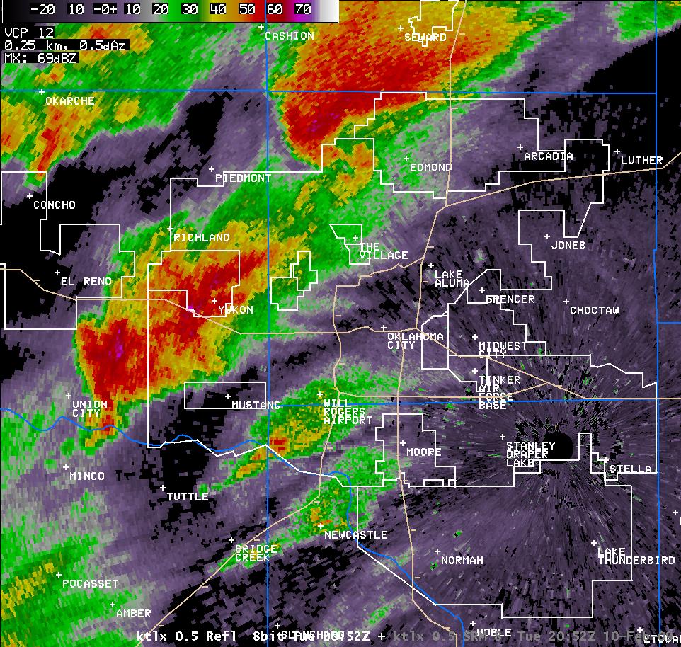
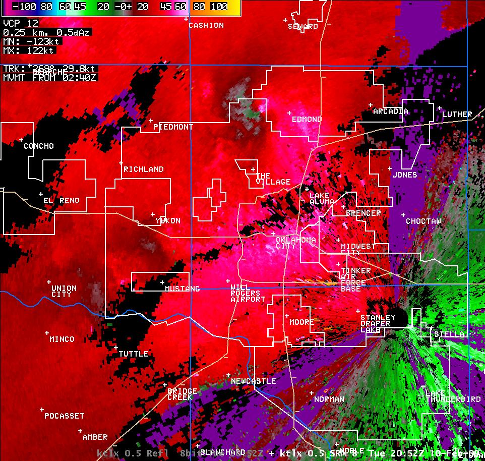
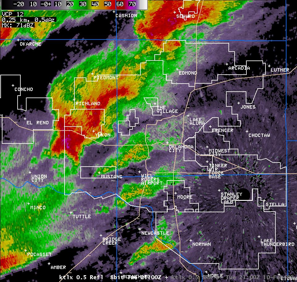
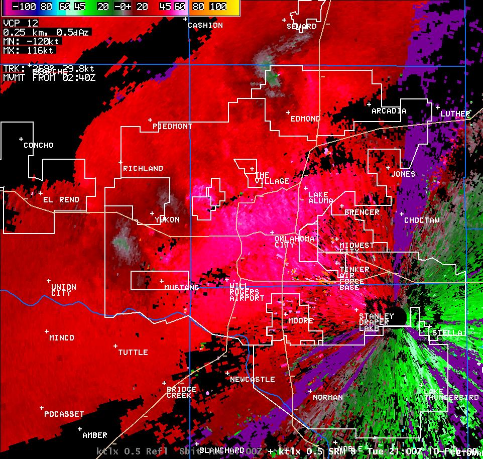
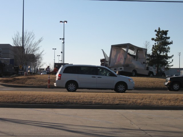
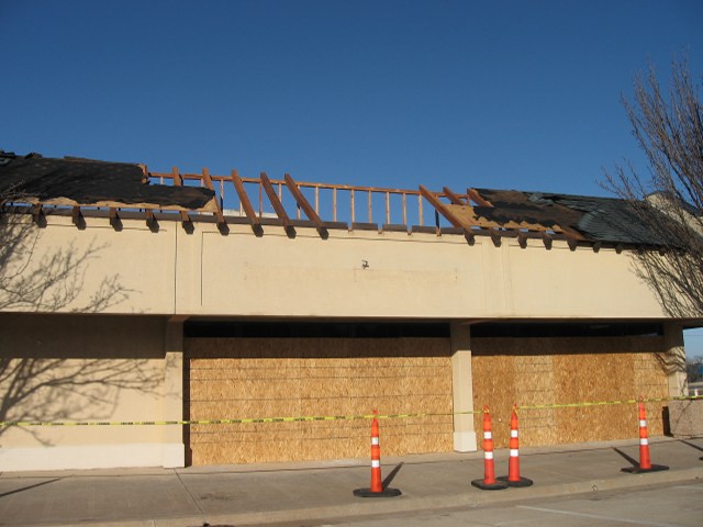
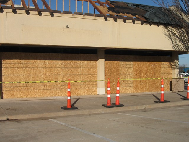
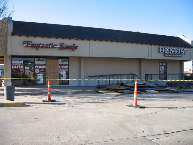
This tornado was only on the ground briefly and produced EF-1 damage to some buildings near the Northwest Expressway. The supercell progressed northeast across Oklahoma County, continuing to show signs of rotation on radar. At about 2:52 pm CST, the supercell produced its second tornado of the day. This tornado began near 190th and Western, or about 3 miles west of the geographical center of Edmond. The tornado continued north-northeast, moving through neighborhoods and subdivisions on the northwestern side of Edmond. The tornado produced its most severe damage near the Oklahoma and Logan County line, or about 5 miles north of the geographical center of Edmond. The damage in this area was rated EF-2 on the Enhanced Fujita Scale. The tornado dissipated about 3:05 pm CST, just north of the Logan County line and just east of Broadway.
The supercell continued northeast, and later produced three additional tornadoes - all rated EF-0 on the Enhanced Fujita Scale. The first tornado was brief, and occurred about 2 miles northwest of Meridian in Logan County at about 3:26 pm CST. Further northwest, the fourth tornado produced by the supercell developed about 6 miles east-southeast of Langston in far northeast Logan County and moved to a point about 4 miles southwest of Stillwater in Payne County. For all the information on these tornadoes, go to the Tornado Data tab. The fifth tornado produced by this supercell in Central Oklahoma occurred in Pawnee County, in the NWS Tulsa CWA.
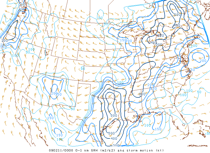
Around 4:30 pm CST, a thunderstorm began to rapidly develop (pictured in above satellite image) in Young and Stephens Counties in North Texas, or about between Breckenridge, TX and Graham, TX. This area is about 80 miles west of Fort Worth, TX. This storm moved to the northeast and became supercellular over the next hour, moving into Southeast Clay County by 5:30 PM and into Northwest Montague County by 6:00 PM. The supercell thunderstorm was moving into an environment very favorable for tornado development, as evidenced by the two images included below.
 |
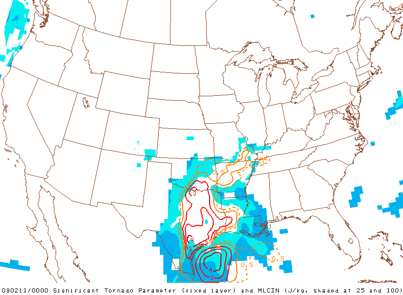 |
| 0-1km Storm Relative Helicity at 6:00 pm CST, February 10, 2009 | Significant Tornado Parameter at 6:00 pm CST, February 10, 2009 |
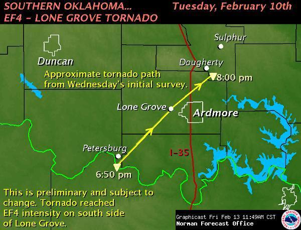
As the supercell crossed Northwest Montague County it became tornadic, producing a tornado that was captured on video by a storm chaser. The supercell then produced the most significant tornado of the entire outbreak as it reached the Red River. It's possible there was a small bit of the tornado path in North Texas, but the tornado began in Oklahoma in far southeast Jefferson County at about 6:50 pm CST very near the Red River.
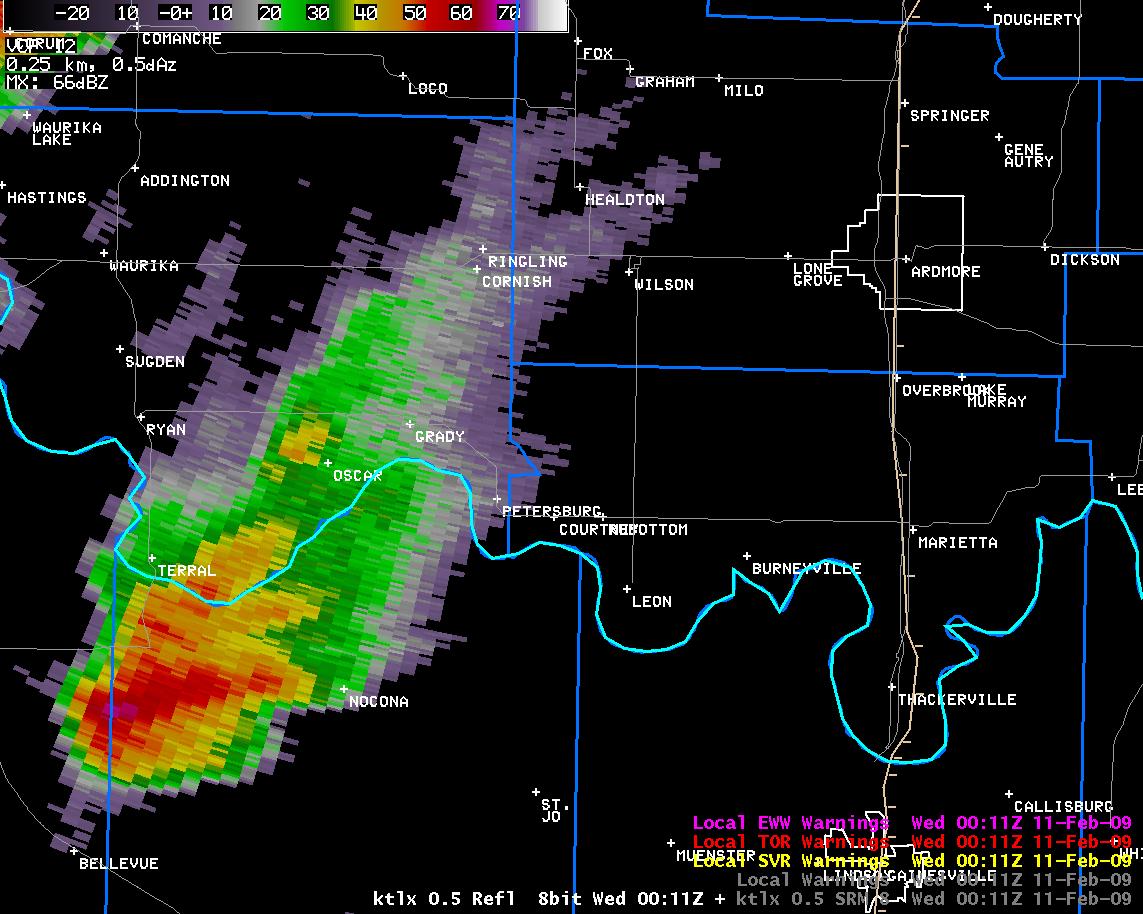
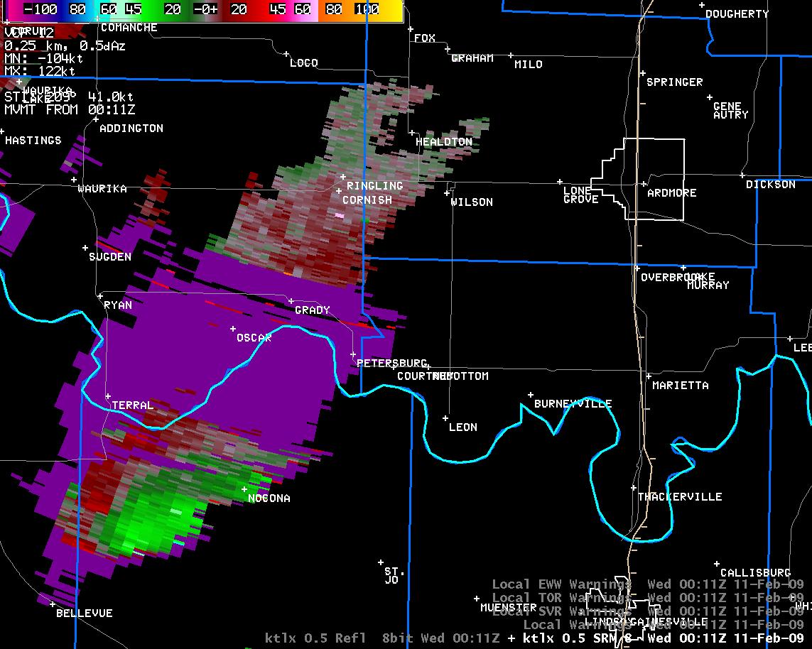
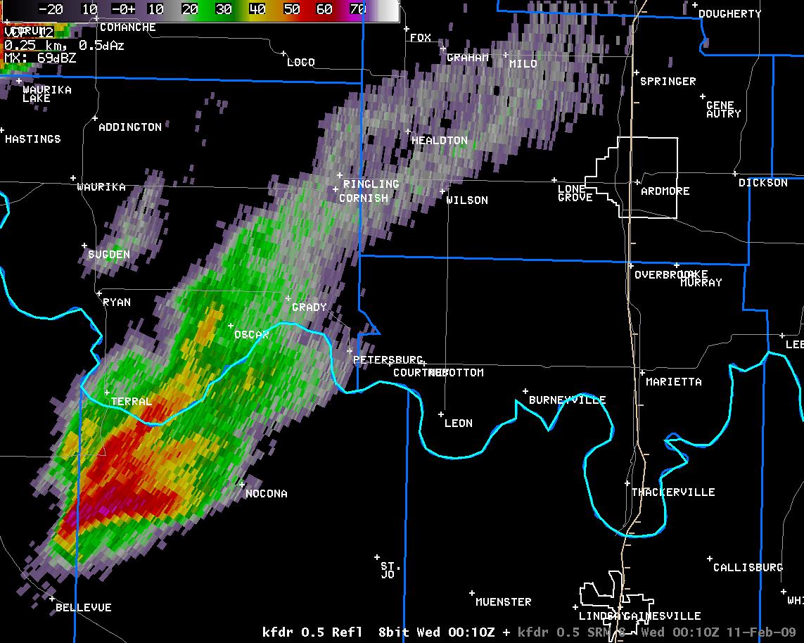
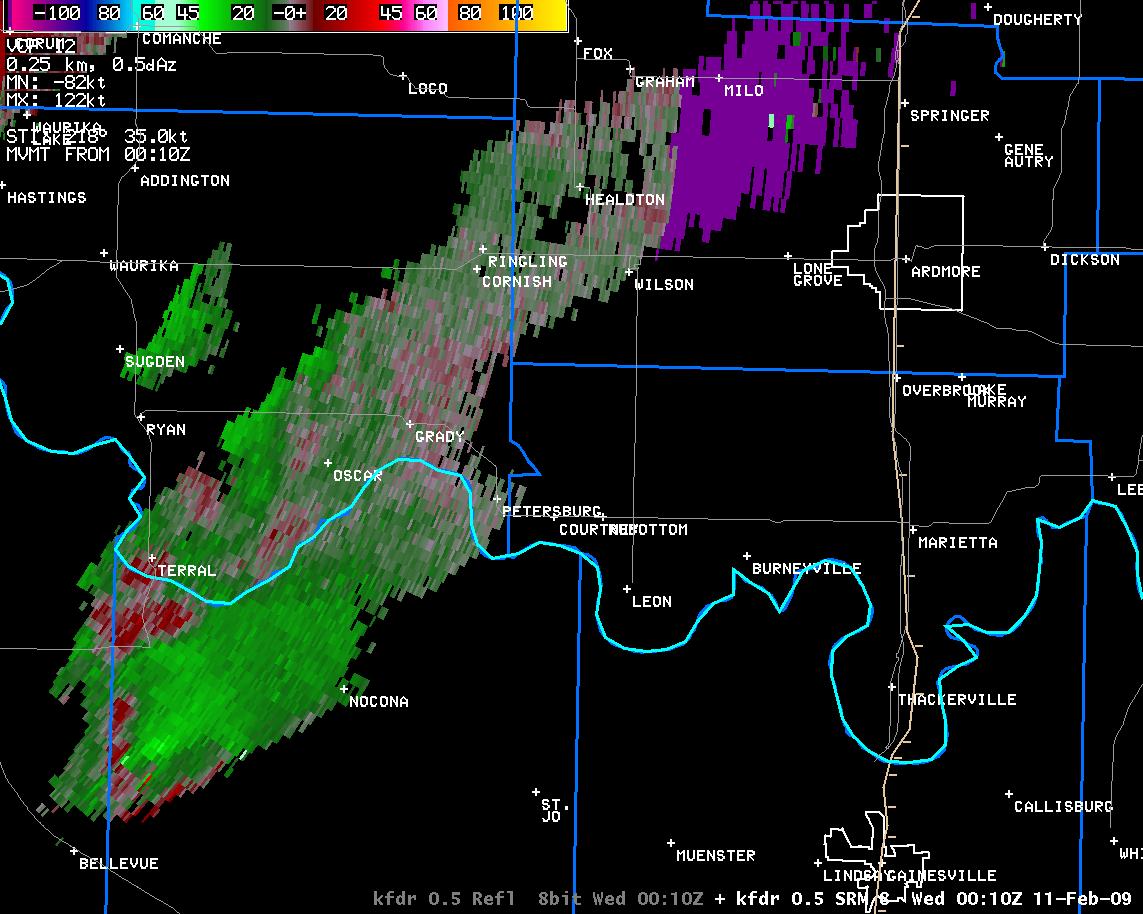
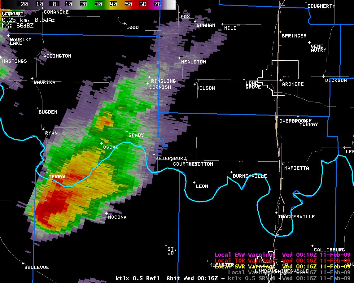
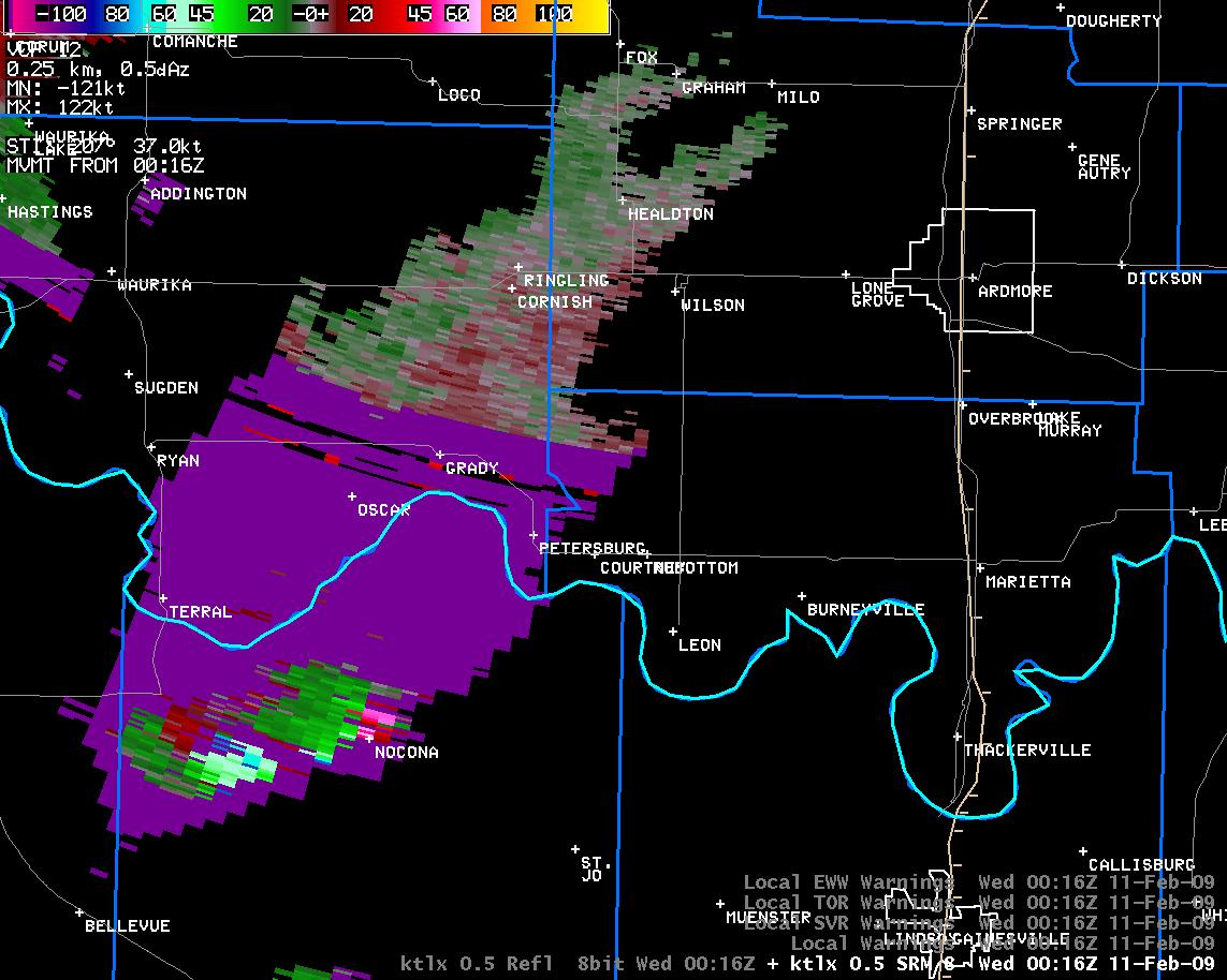
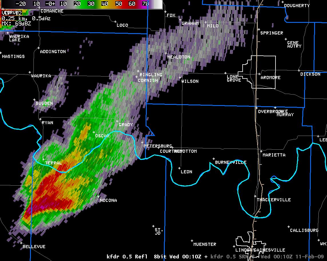
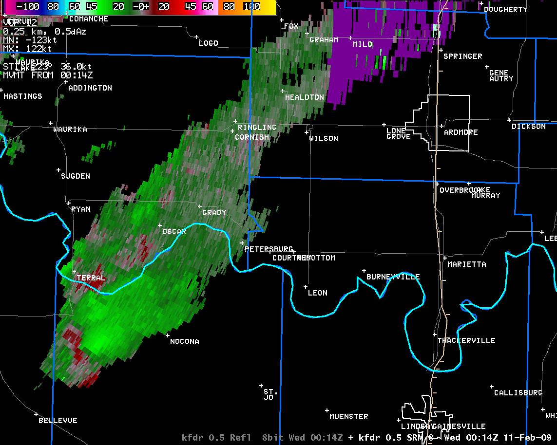
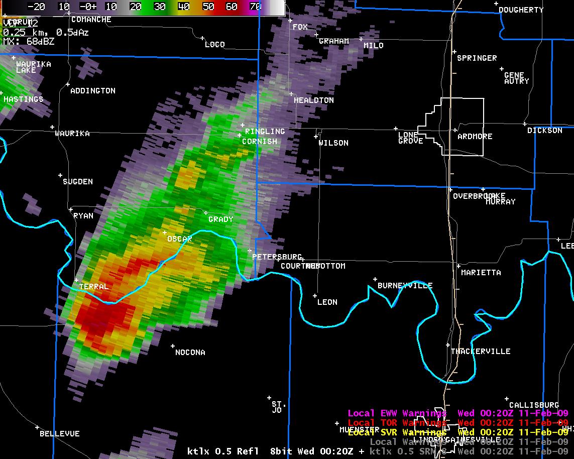
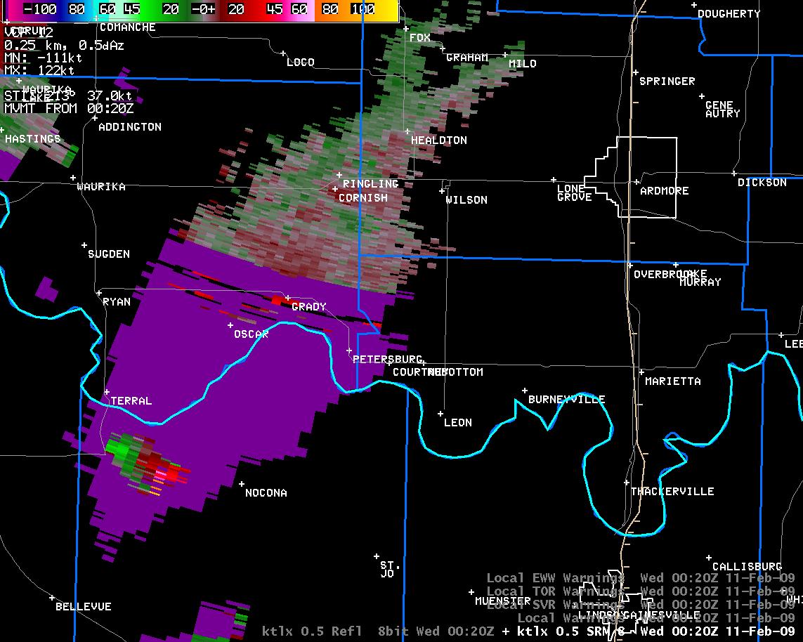
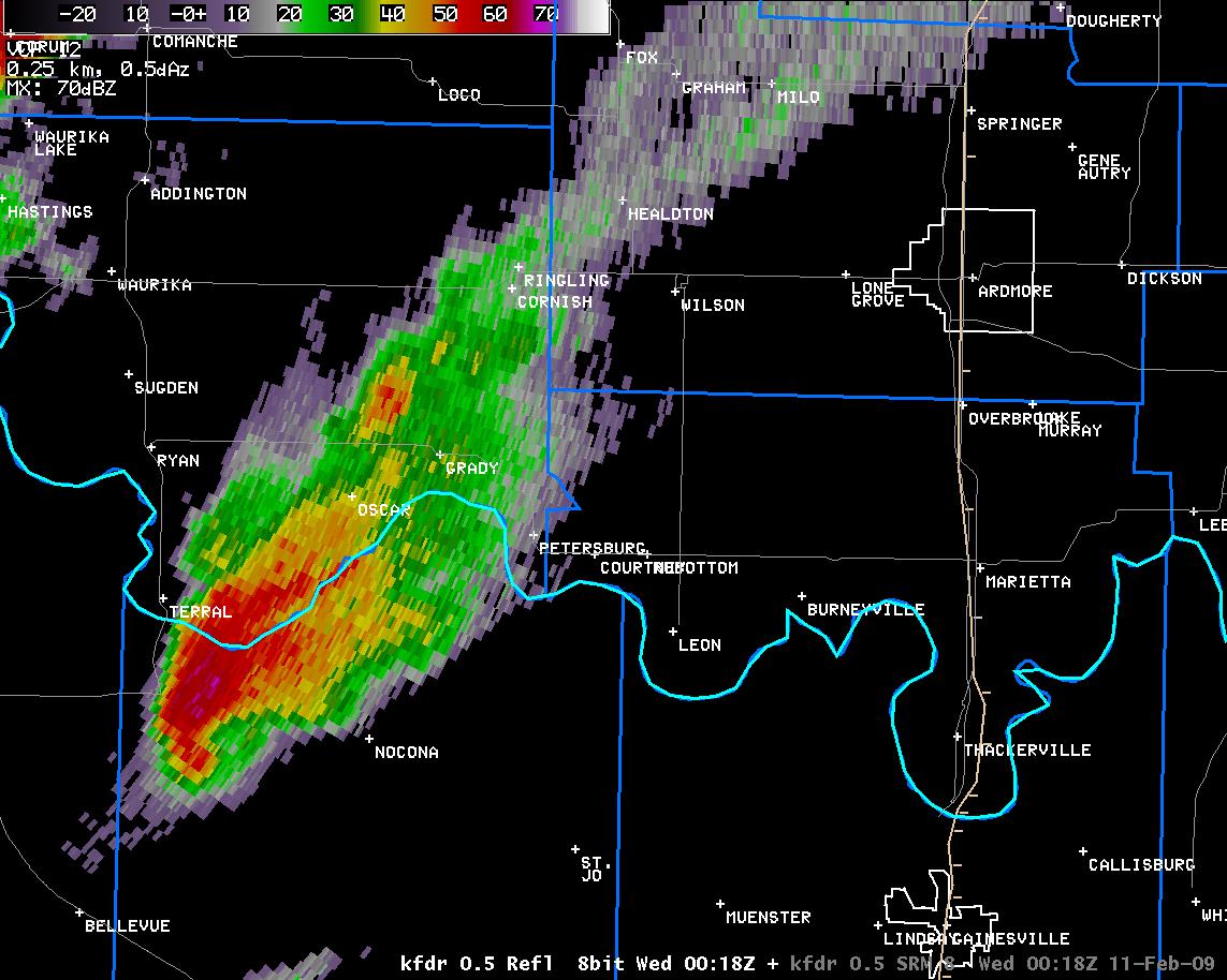
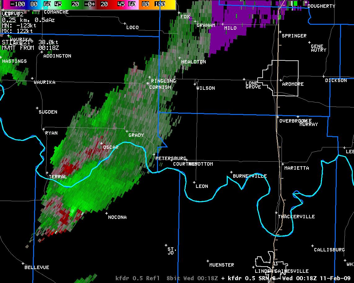
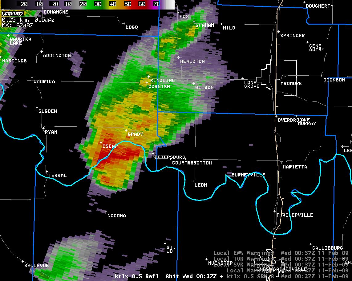
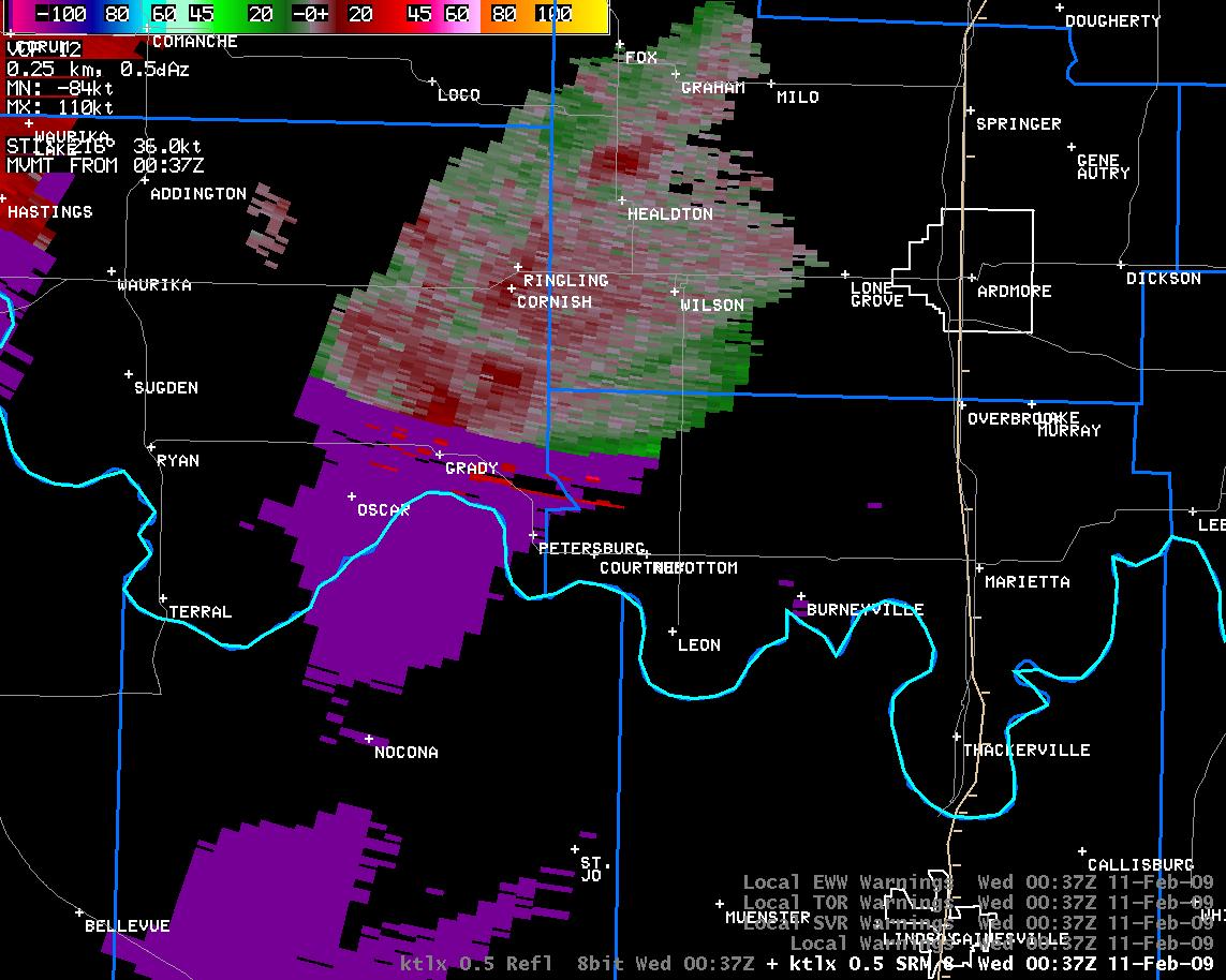
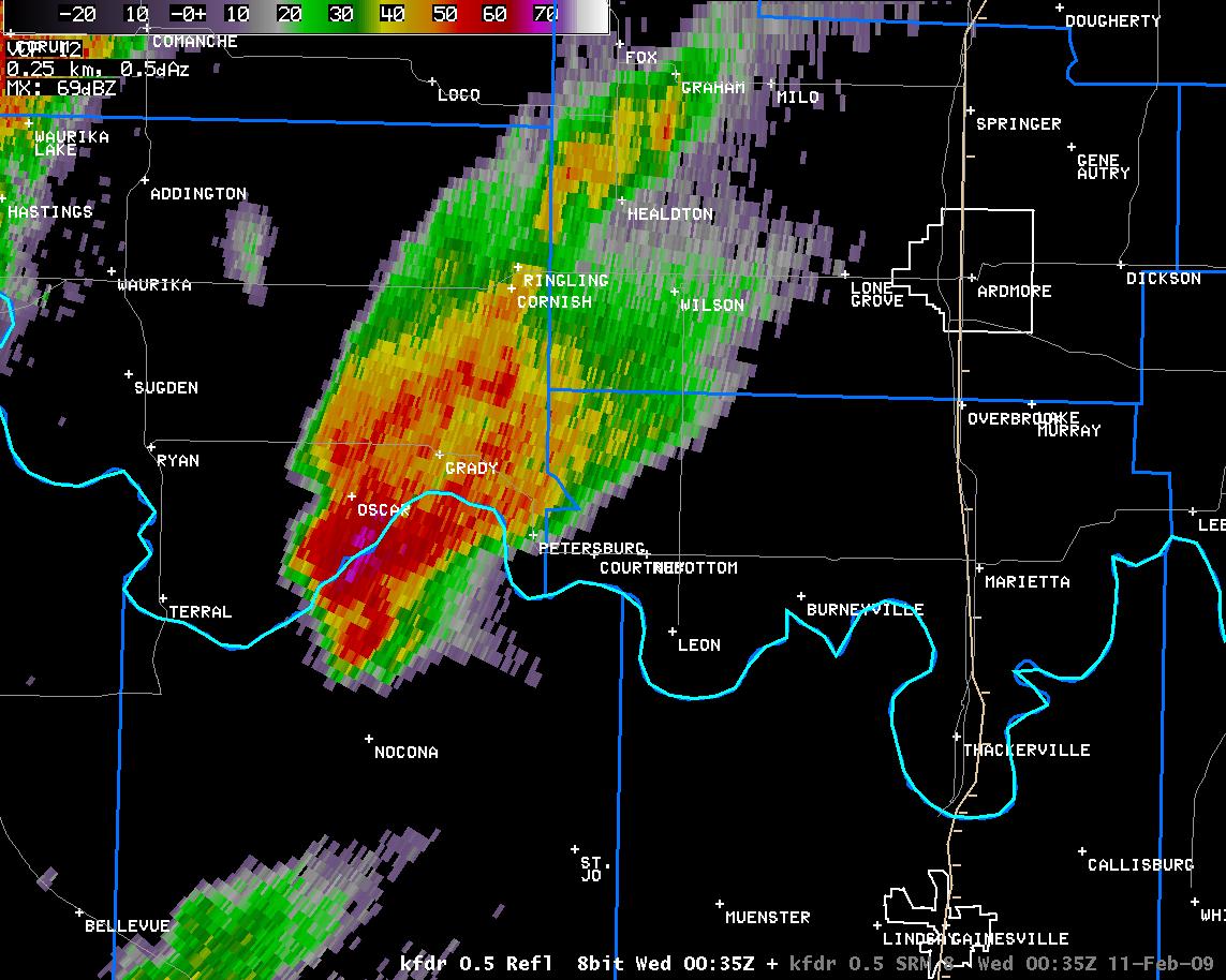
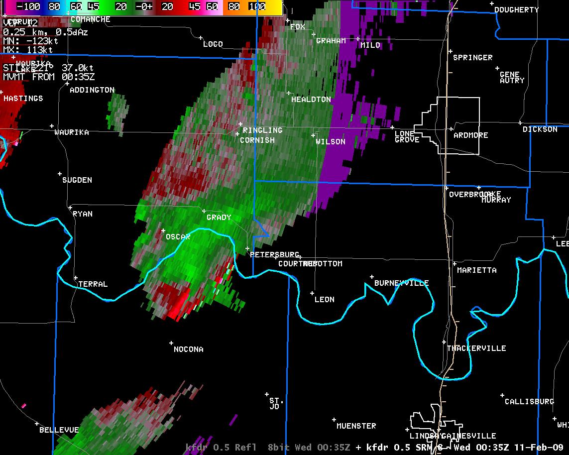
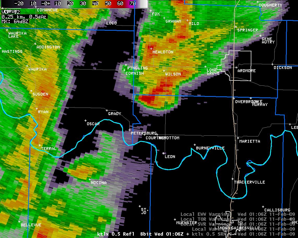
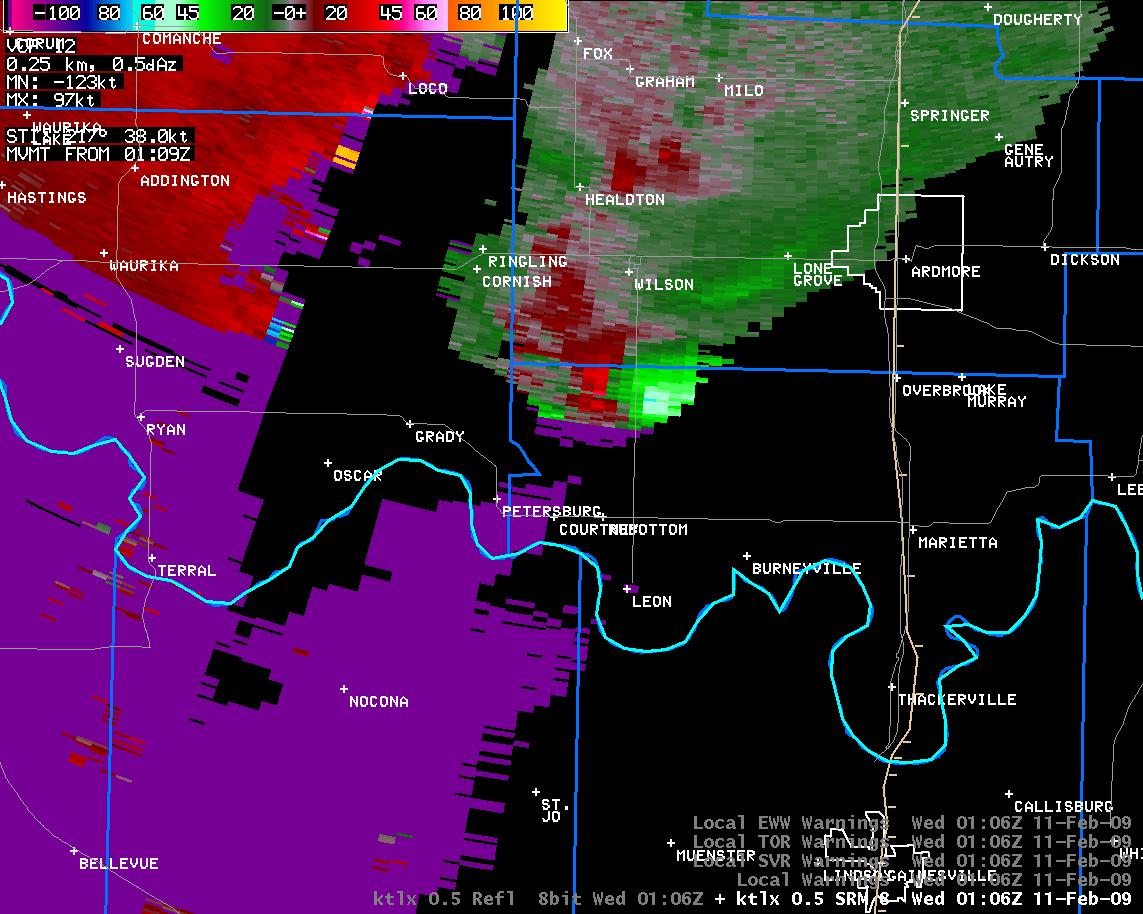
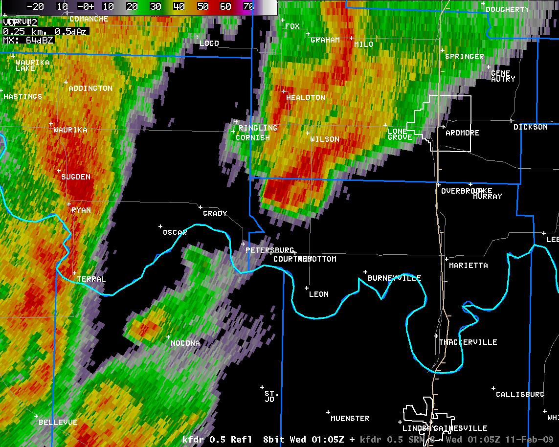
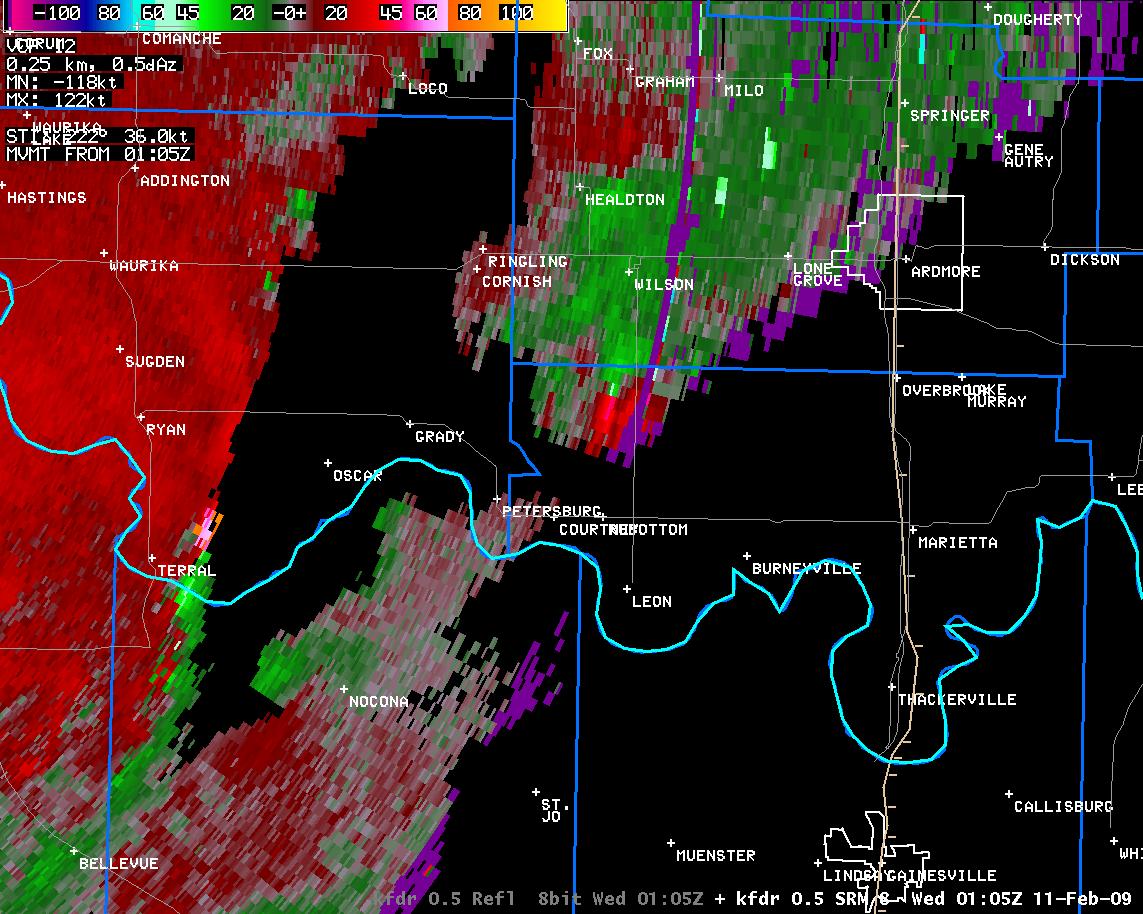
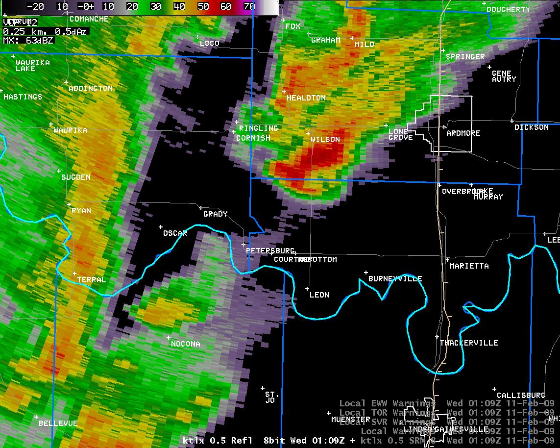
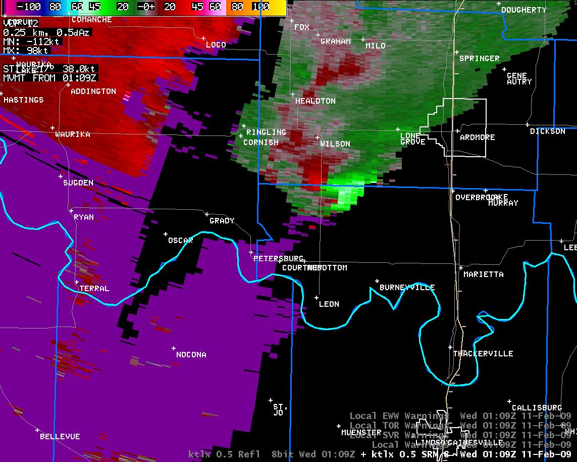
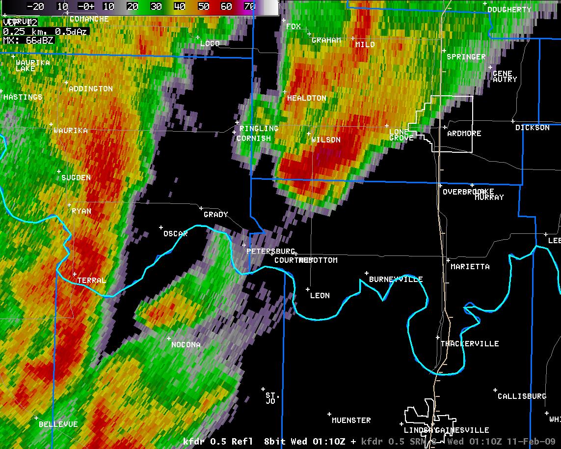
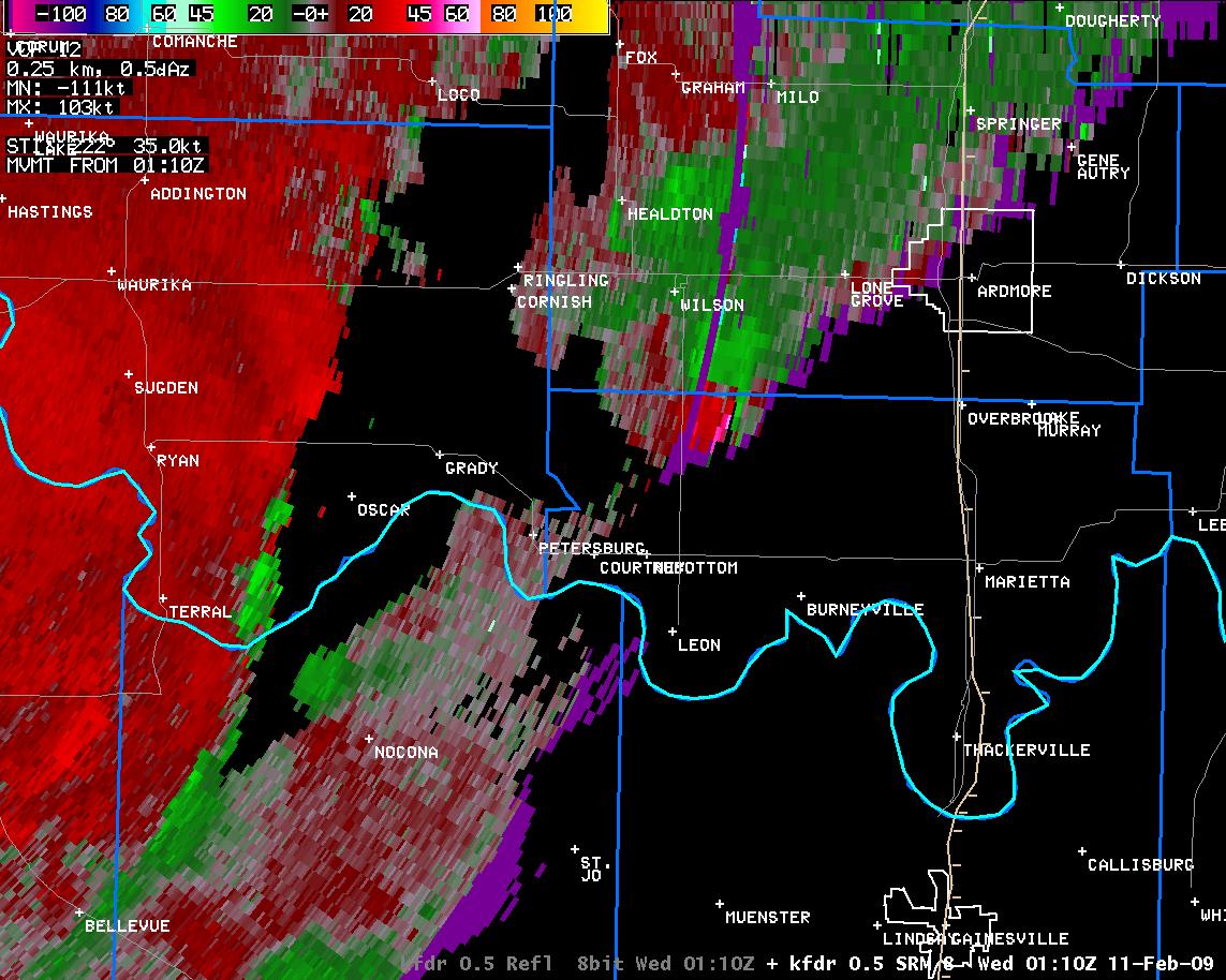
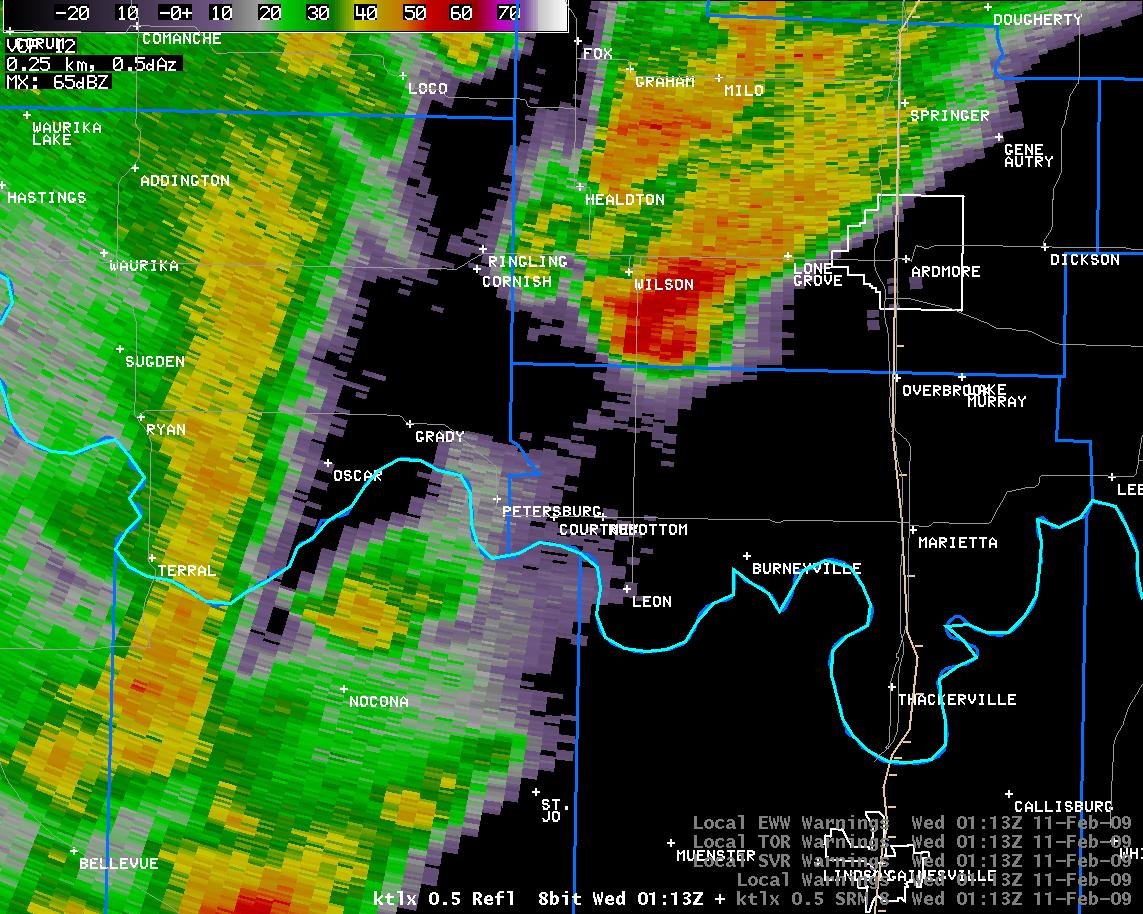
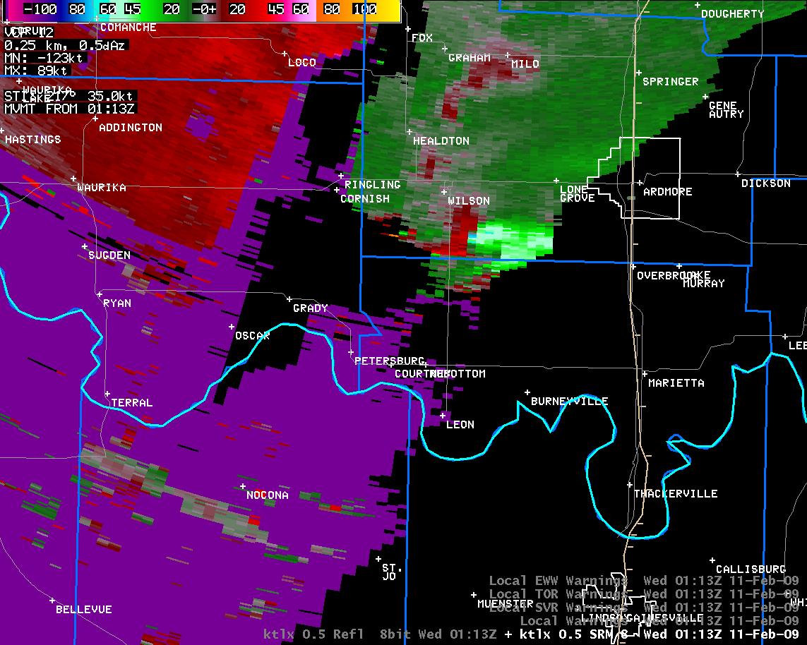
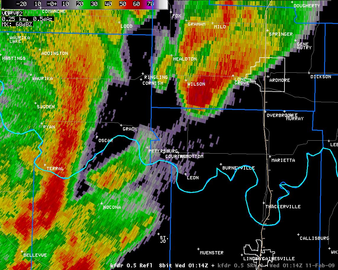
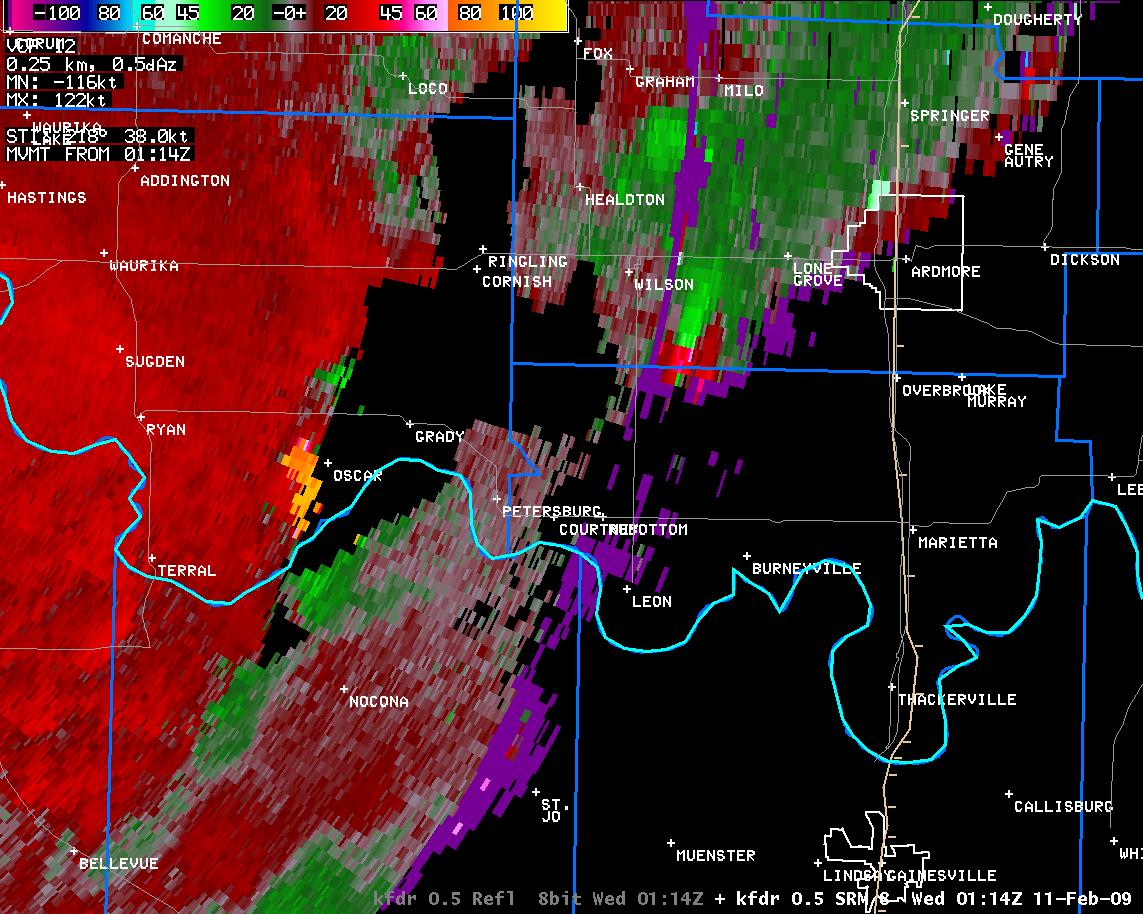
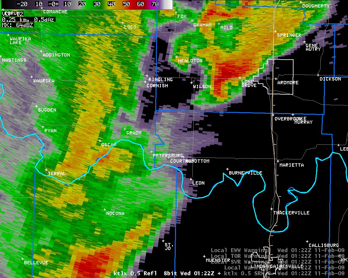
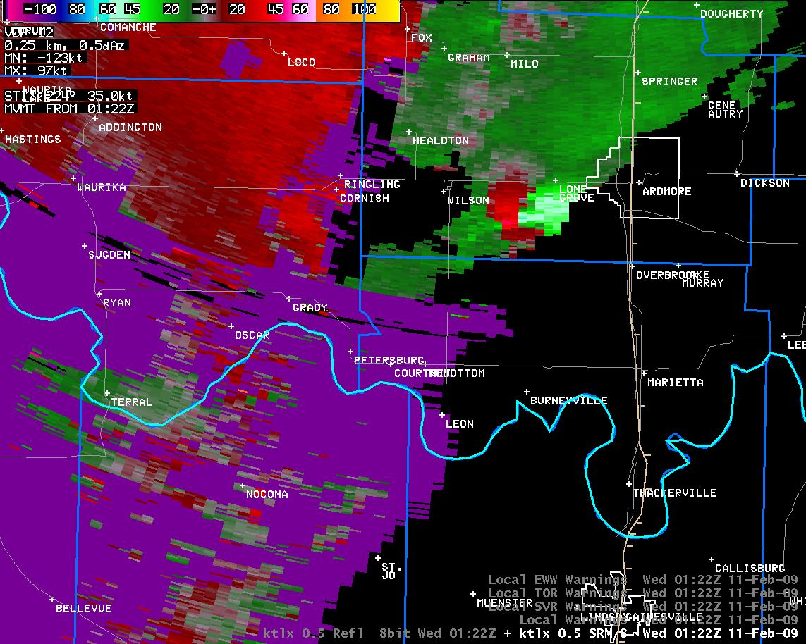
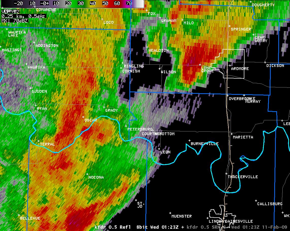
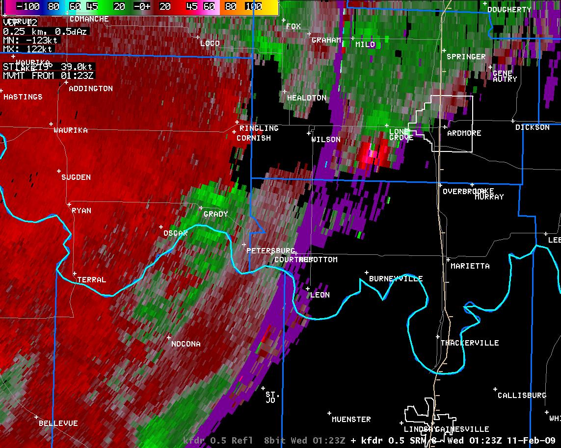
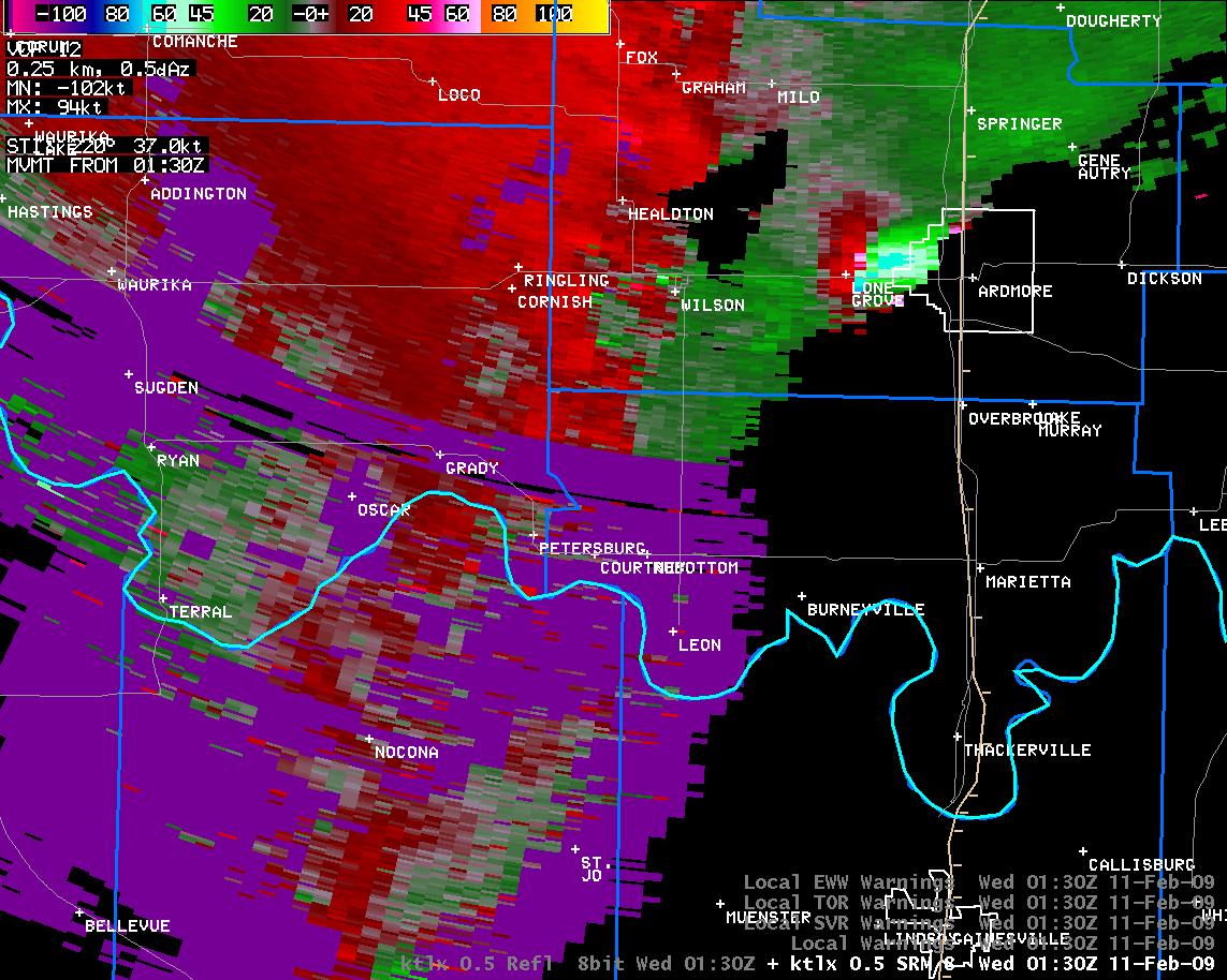
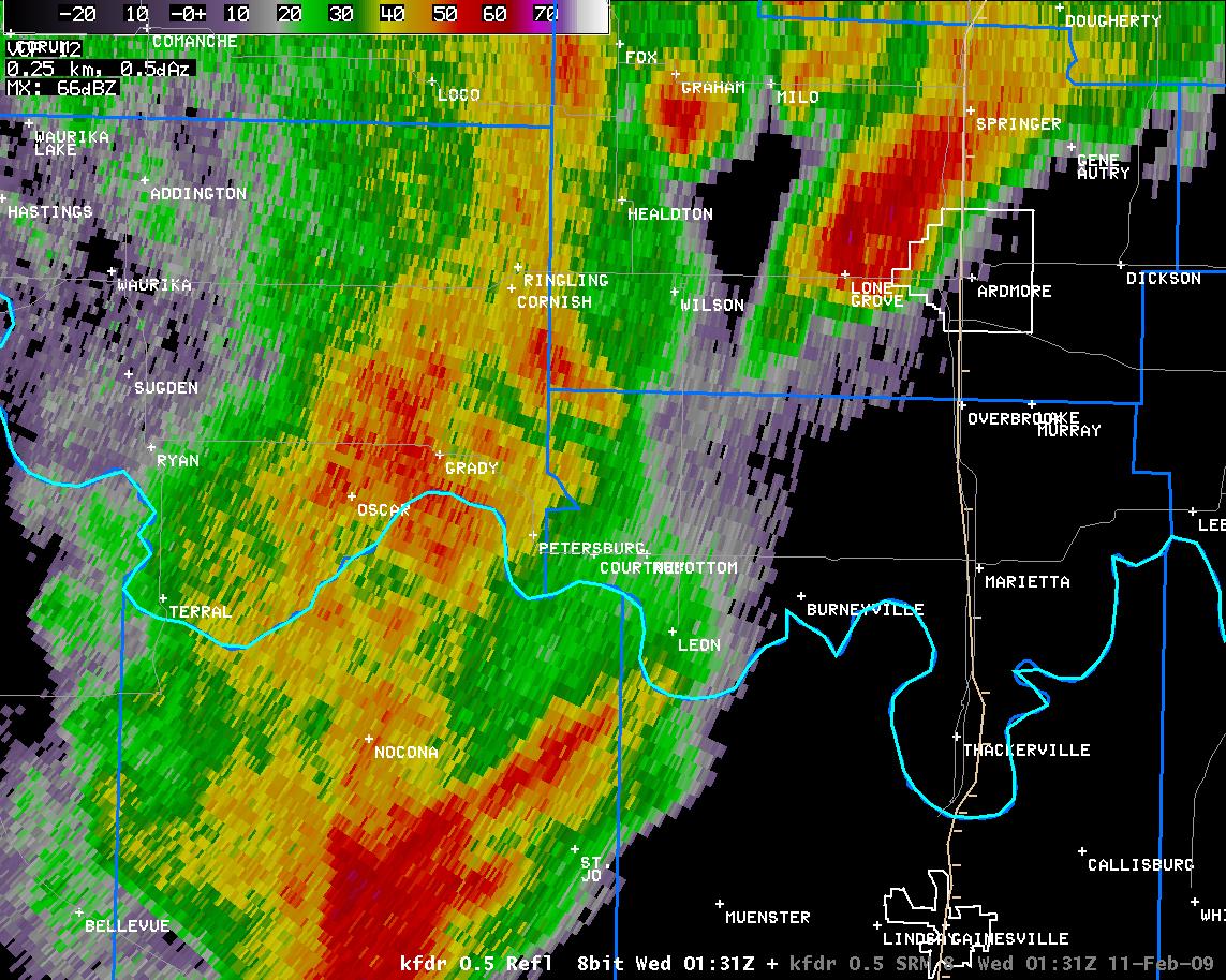
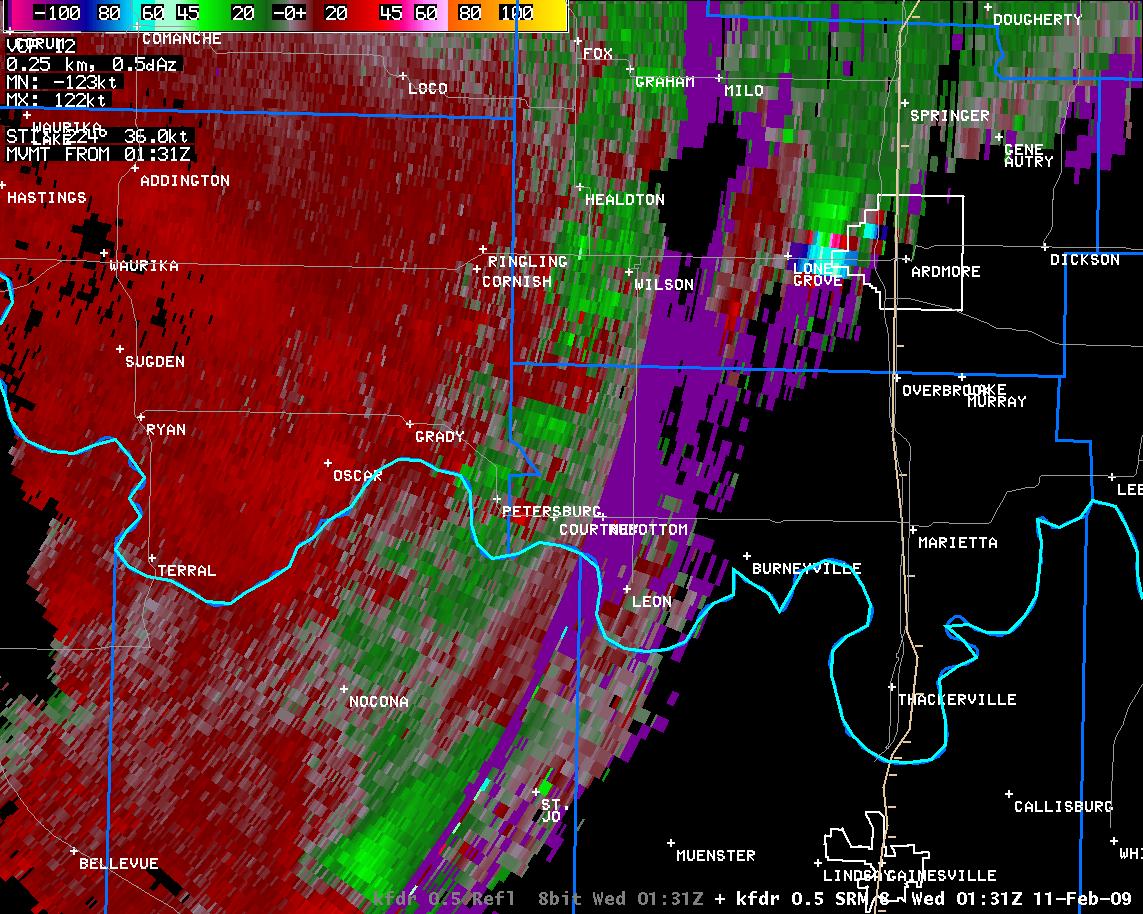
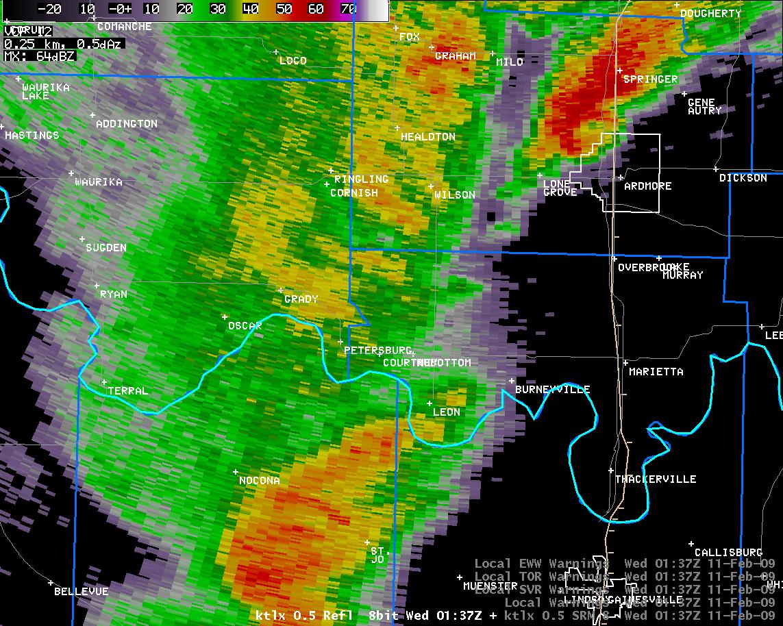
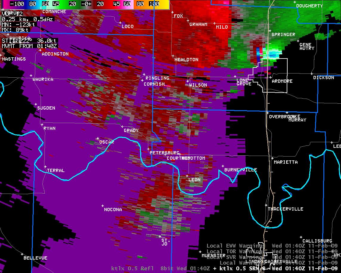
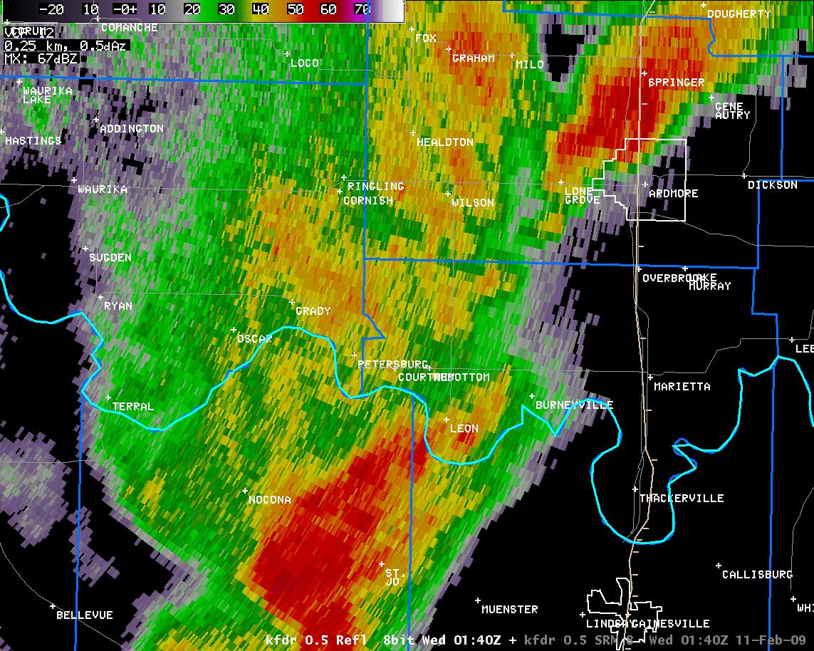
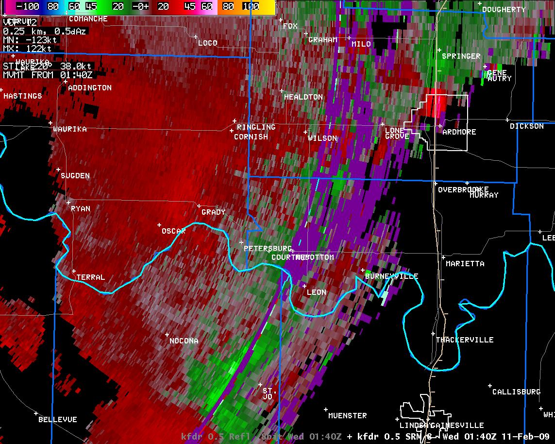
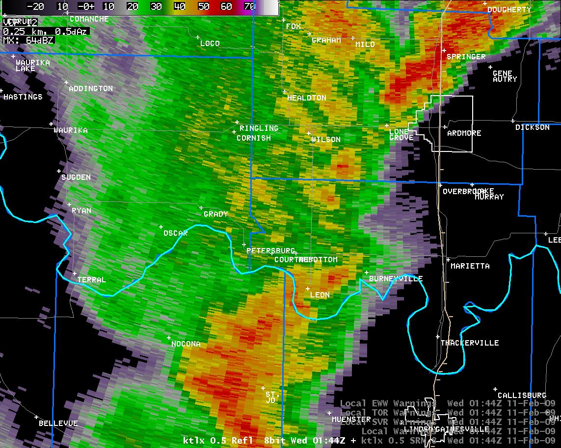
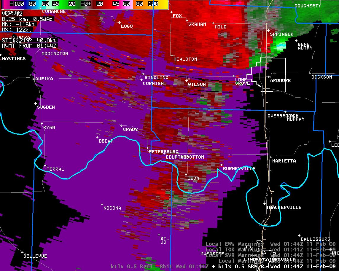
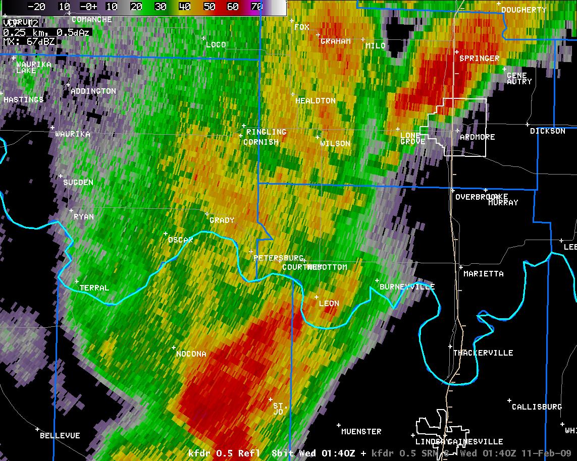
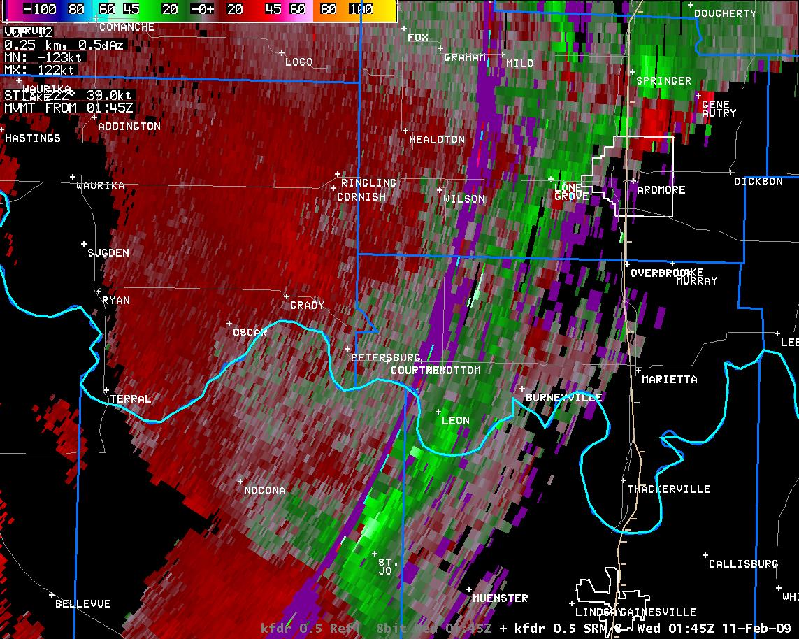
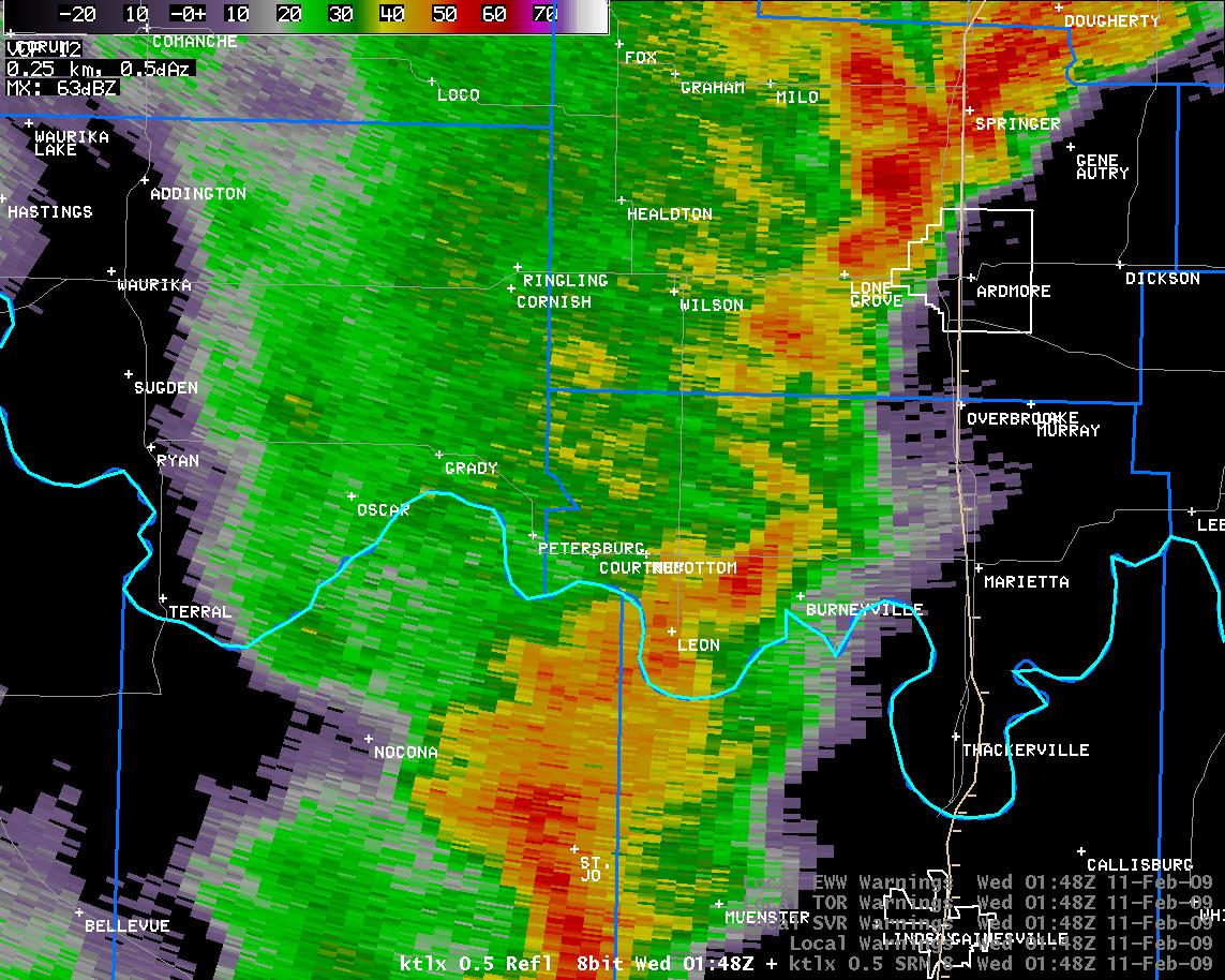
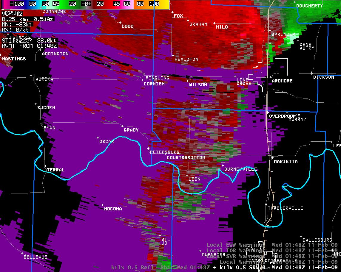
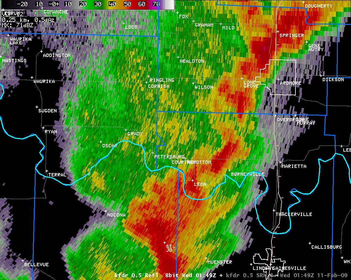
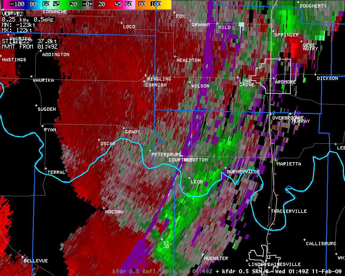
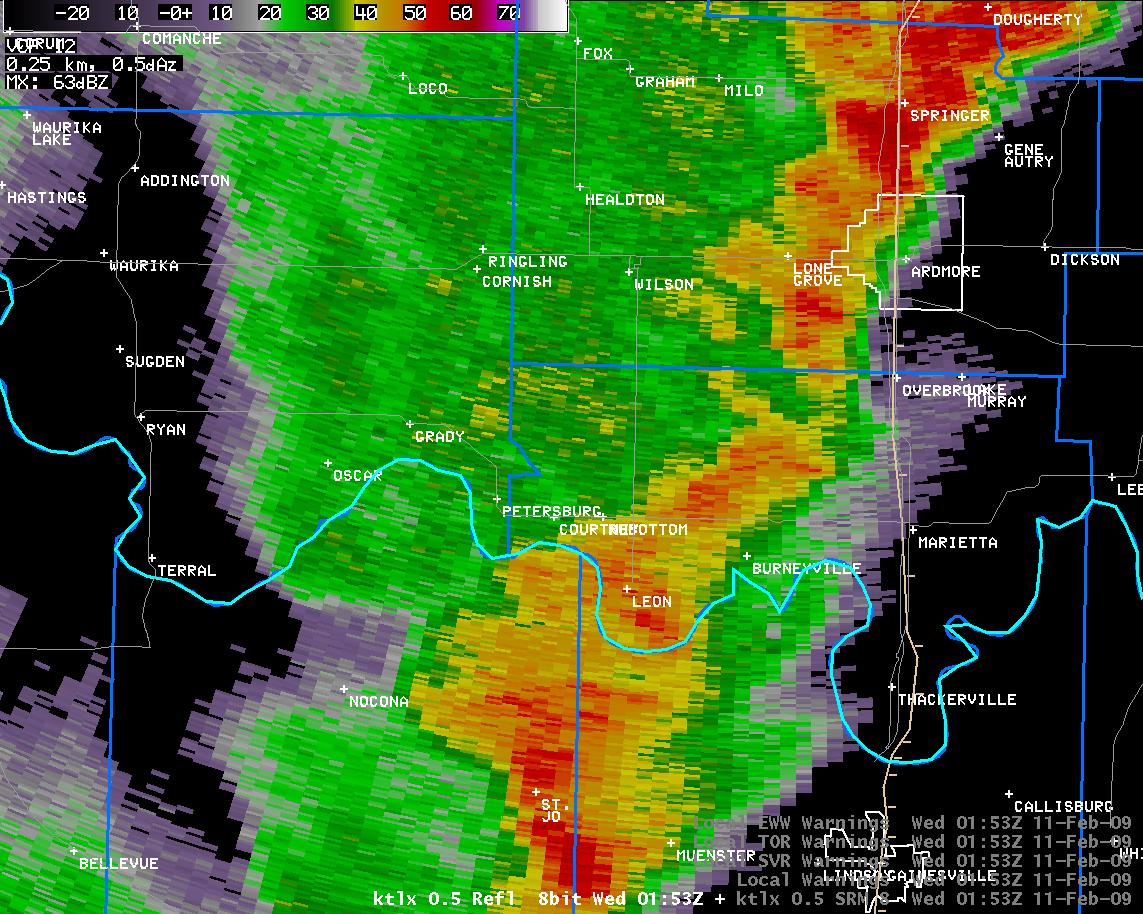
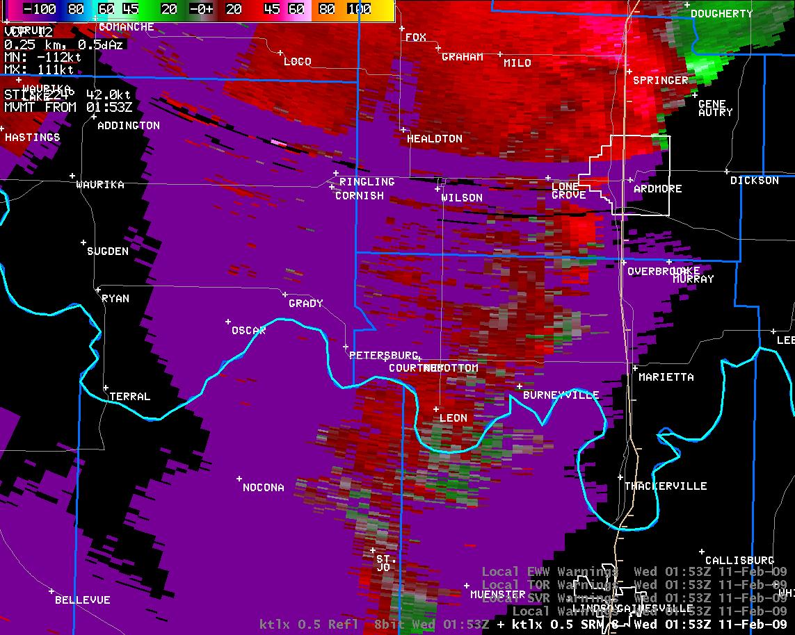
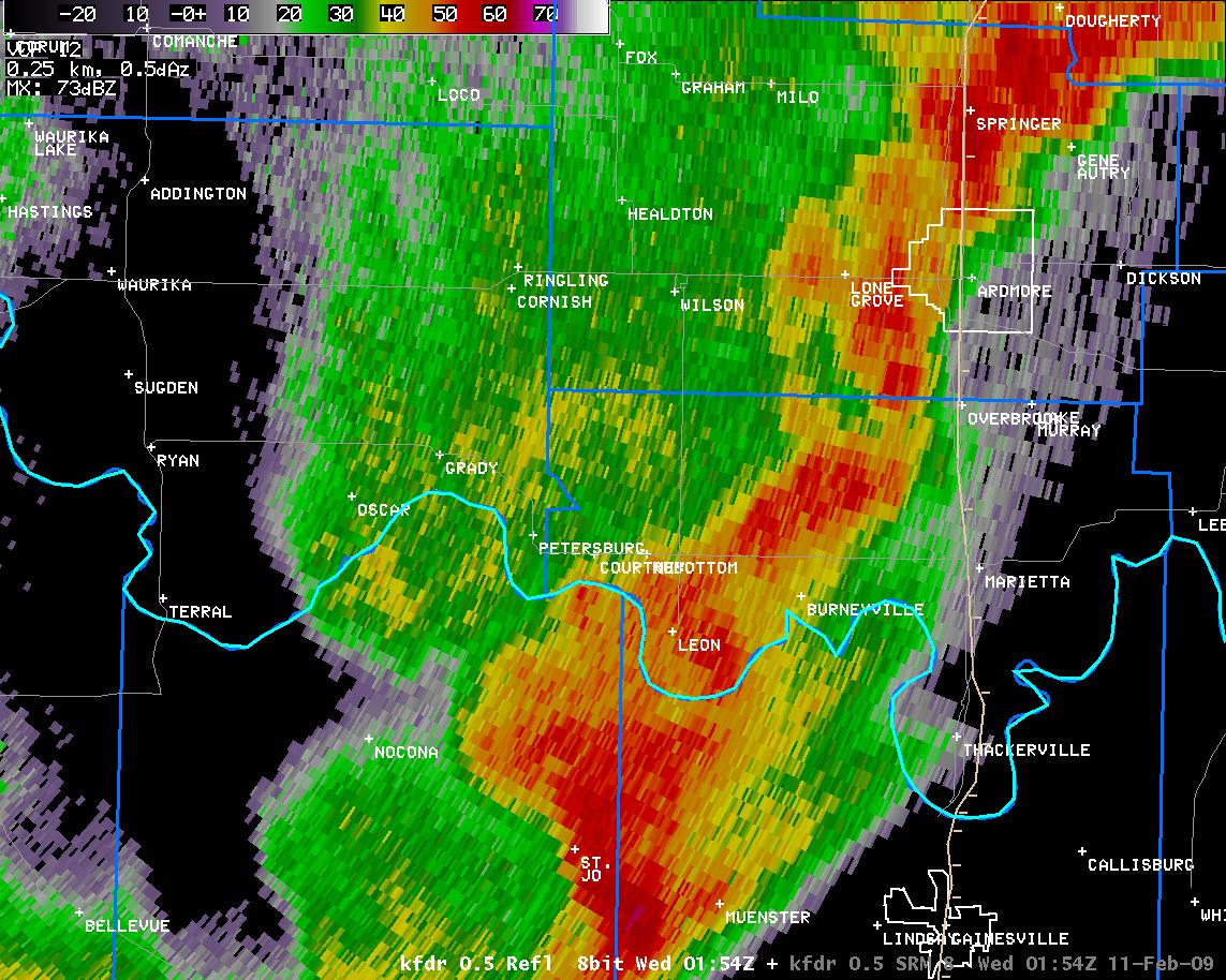
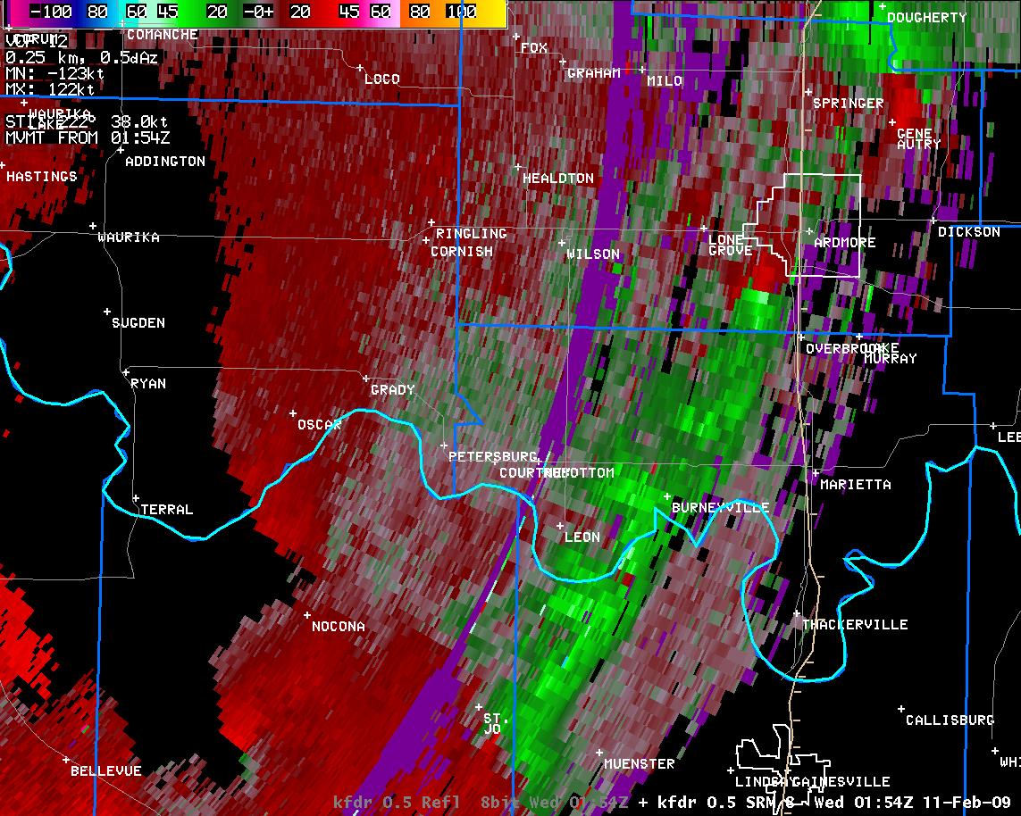
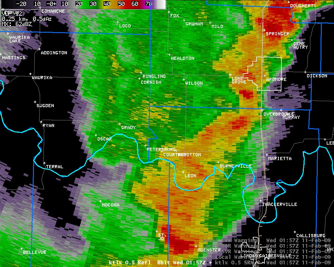
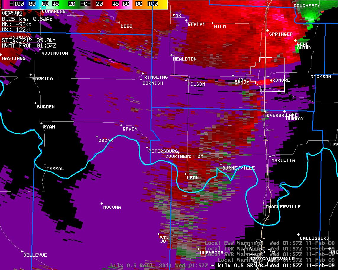
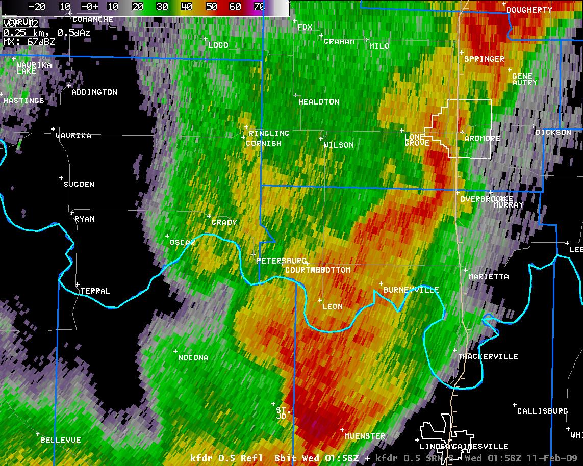
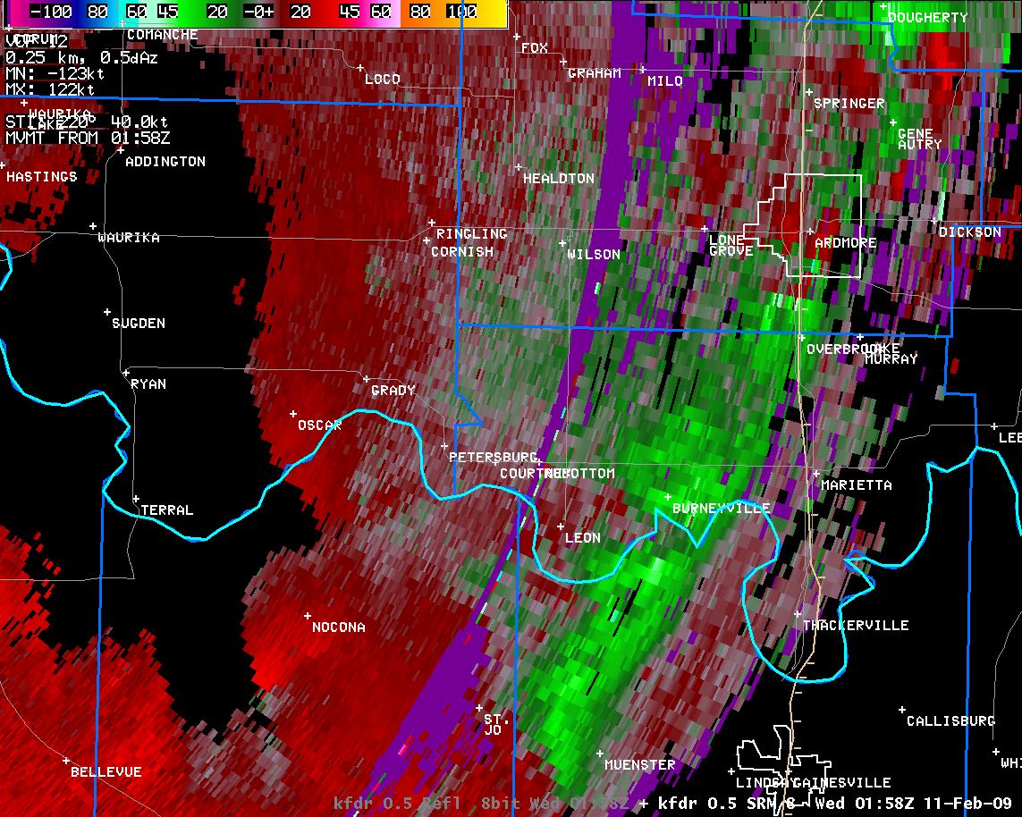
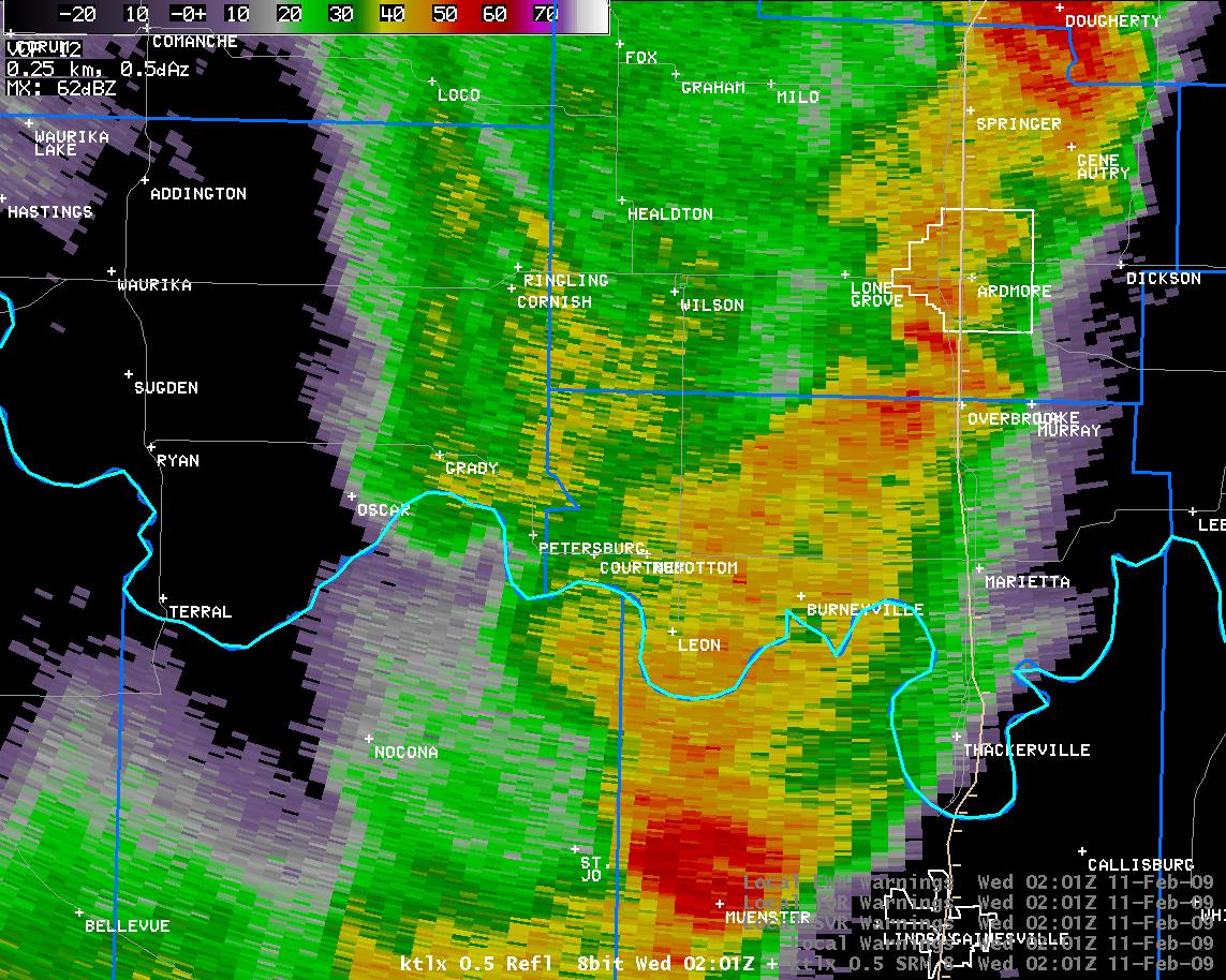
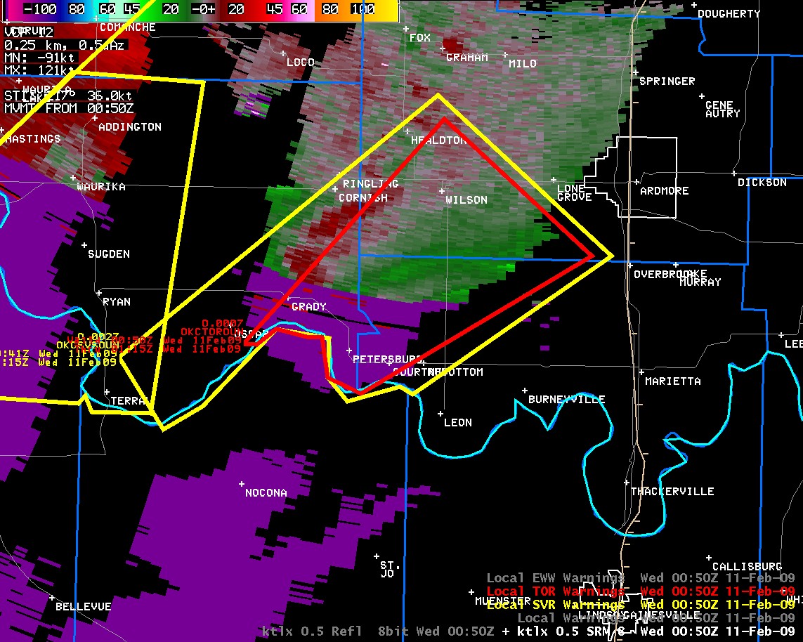
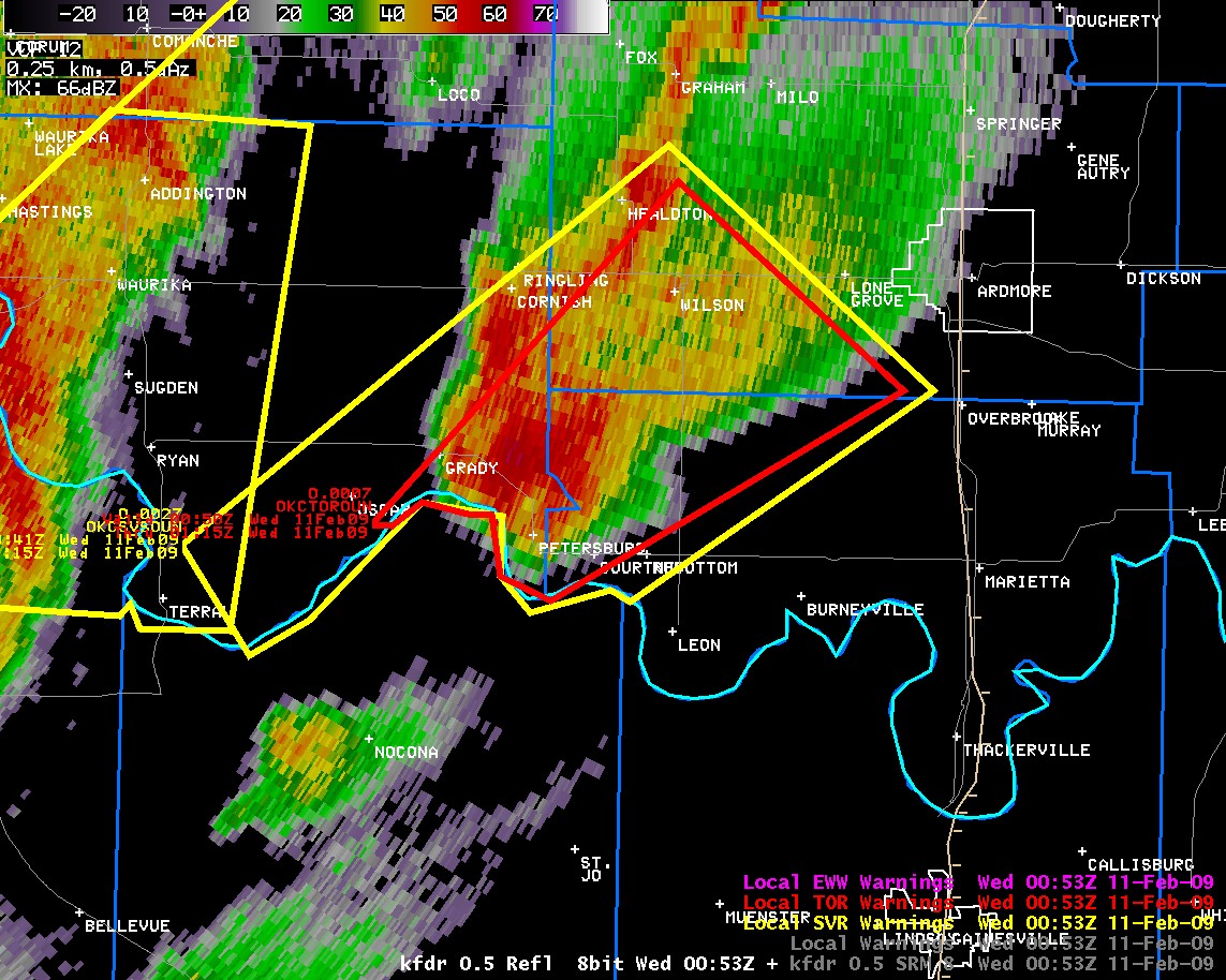
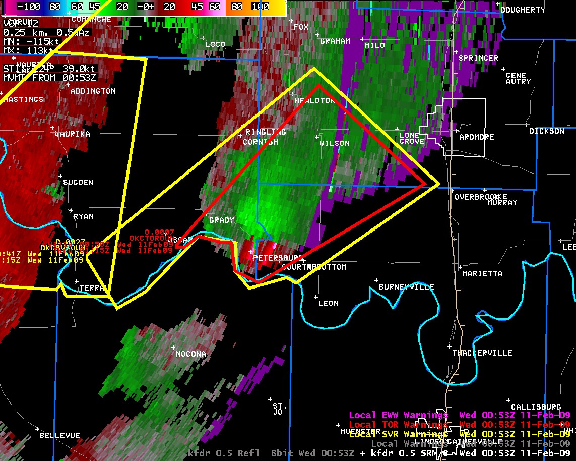
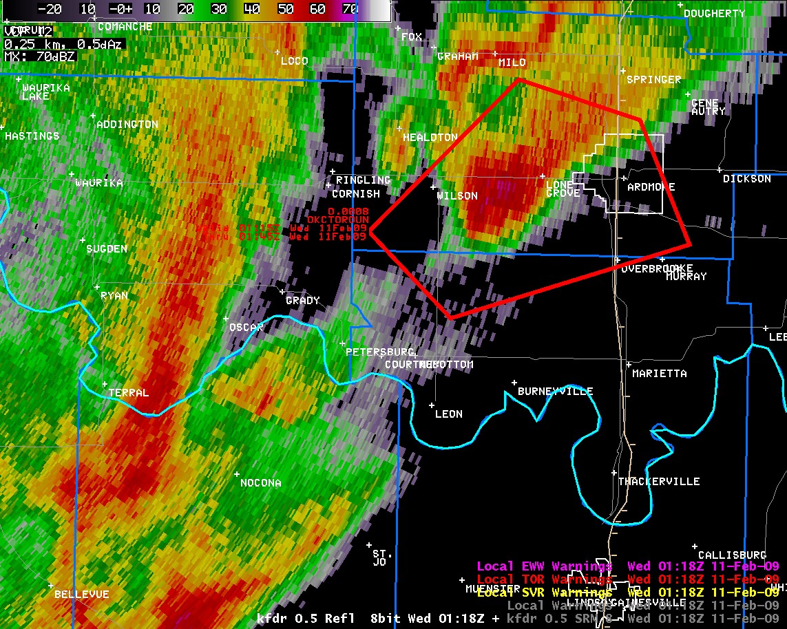
The tornado continued northeast into Love County crossing through rural farmland north of Courtney, Rubottom and Oswalt. The tornado then crossed into Carter County around 7:10 pm CST, where it did its most significant damage. The velocities in the couplet on SRM were on the increase at this time, as can be seen in this image. Over the next 15 minutes, it moved northeast, approaching the town of Lone Grove. Sometime between 7:25 pm CST (Reflectivity and SRM) and 7:30 pm CST (Reflectivity and SRM), the tornado struck Lone Grove. The damage in the city limits was extensive, and was rated as high as EF-4 on the Enhanced Fujita Scale, the second highest rating possible - indicative of maximum wind speeds on the order of 166 to 200 mph.
| Products Issued for the "Lone Grove" EF-4 Tornado | |
| 6:20 pm CST | Significant Weather Advisory Love and Jefferson Counties |
| 6:50 pm CST | Tornado Warning portions of Carter, Jefferson and Love Counties |
| 7:15 pm CST | Tornado Warning for Southern Carter and Northern Love Counties |
| 7:26 pm CST | Warning Continues for Southern Carter County |
| 7:31 pm CST | Tornado Observed; Tornado Warning continues for Southern Carter County |
| 7:38 pm CST | Large & Violent Tornado On Ground; New Tornado Warning for Eastern Carter and Southern Murray Counties |
| 7:50 pm CST | Tornado Observed; Tornado Warning continues for Carter/Murray Counties |
| 7:59 pm CST | Warning Continues for Carter and Murray Counties |
As the tornado was passing through Lone Grove, it moved very close to the Newport Mesonet station. This mesonet site was within 2 miles of the tornado track, and situated to the north of the tornado track. As the tornado passed close to the station, it recorded a northwesterly wind gust to 58 mph in addition to a marked decrease in surface pressure. This is shown in the mesonet site meteogram, courtesy of the Oklahoma Mesonet.
The tornado crossed Interstate-35 about a mile and a half north of the Prairie Valley Road exit. It moved through rural areas of Northeast Carter County to the east of Springer, and eventually crossed into far Southern Murray County, ending about 5 miles southeast of Dougherty. The tornado ended around 8:00 pm CST. This means that it was on the ground for over 30 miles and for over an hour.
The tornado that struck Picher, OK last year was the last EF-4 tornado in the state of Oklahoma. Its damage path was 76 miles in length, although the segment in Oklahoma was much shorter than that. Thus, this tornado segment is the longest in Oklahoma in about 6 years, depending on how the final official tornado statistics shape up. For more facts on the event, visit the Fast Facts tab that we have put together.
Image credits: SPC, AWC, UCAR.
| February 10, 2009 Tornadoes by Intensity | ||||||
| EF0 | EF1 | EF2 | EF3 | EF4 | EF5 | Total |
| 3 | 1 | 1 | 0 | 1 | 0 | 6 |
|---|---|---|---|---|---|---|
| Event Tornado Number |
Date | Time (CST) |
Length of Path (miles) |
width of Path (yards) |
F-Scale | Killed | Injured | County | Location |
|---|---|---|---|---|---|---|---|---|---|
| 1 | 02/10/2009 | 1436-1437 | 0.7 | 75 | EF1 | 0 | 3 | Oklahoma | NW OKC (Near Northwest Expressway and Rockwell) |
| 2 | 02/10/2009 | 1453-1505 | 5.7 | 250 | EF2 | 0 | 4 | Oklahoma/ Logan | West Edmond into far southern Logan County (near NW 192nd and Western - 0.5 NE of Waterloo and Broadway) |
| 3 | 02/10/2009 | 1524-1526 | 1 | 10 | EF0 | 0 | 0 | Logan | 2.5 NW Meridian |
| 4 | 02/10/2009 | 1539-1559 | 10 | 50 | EF1 | 0 | 0 | Payne | 9 WSW Perkins (4 ENE Langston) - 4 SW Stillwater |
| 5 | 02/10/2009 | 1635-1637 | 2.6 | 400 | EF0 | 0 | 0 | Pawnee | 3 SSW - 0.5 S Pawnee |
| 6 | 02/10/2009 | 1848-1943 | 37 | 880 | EF4 | 8 | 46 | Montague TX/ Jefferson/ Love/ Carter | Near Spanish Fort TX - 1 W Petersburg - Lone Grove - 4 SSE Springer |
NWUS54 KOUN 131804
LSROUN

PRELIMINARY LOCAL STORM REPORT...SUMMARY
NATIONAL WEATHER SERVICE NORMAN OK
1204 PM CST FRI FEB 13 2009

..TIME...   ...EVENT...      ...CITY LOCATION...     ...LAT.LON...
..DATE...   ....MAG....      ..COUNTY LOCATION..ST.. ...SOURCE....
            ..REMARKS..

0144 PM     HAIL             2 W CYRIL               34.90N 98.24W
02/10/2009  E0.75 INCH       CADDO              OK   AMATEUR RADIO

0220 PM     HAIL             4 E INDIAHOMA           34.62N 98.68W
02/10/2009  M1.00 INCH       COMANCHE           OK   AMATEUR RADIO

0222 PM     HAIL             YUKON                   35.51N 97.75W
02/10/2009  E1.75 INCH       CANADIAN           OK   BROADCAST MEDIA

            REPORTED BY KWTV-TV

0222 PM     HAIL             2 W YUKON               35.51N 97.79W
02/10/2009  E2.50 INCH       CANADIAN           OK   BROADCAST MEDIA

            REPORTED BY BROADCAST MEDIA

0225 PM     HAIL             YUKON                   35.50N 97.74W
02/10/2009  E2.75 INCH       CANADIAN           OK   PUBLIC

0230 PM     HAIL             4 E MINCO               35.31N 97.88W
02/10/2009  E2.00 INCH       GRADY              OK   OTHER FEDERAL

            HAIL COVERING GROUND.

0235 PM     HAIL             11 W EDMOND             35.65N 97.67W
02/10/2009  E1.50 INCH       CANADIAN           OK   PUBLIC

0237 PM     TORNADO          2 NNW WARR ACRES        35.56N 97.63W
02/10/2009  F1               OKLAHOMA           OK   NWS STORM SURVEY

            A BRIEF TORNADO OCCURRED NEAR THE INTERSECTION OF
            NORTHWEST EXPRESSWAY AND ROCKWELL AVENUE. SIGNIFICANT
            ROOF DAMAGE OCCURRED AT TWO LARGE SHOPPING CENTERS, WITH
            ADDITIONAL ROOF AND WINDOW DAMAGE REPORTED TO A SMALLER
            RETAIL BUILDING. SOME MINOR DAMAGE WAS REPORTED TO AN
            APARTMENT COMPLEX AND SOME AREA RESTAURANTS. THE TORNADO
            MOVED OVER A RESIDENTIAL NEIGHBORHOOD, WITH MINOR SHINGLE
            AND TREE DAMAGE REPORTED. THE TORNADO LIFTED AT 238 PM.

0240 PM     HAIL             5 NE YUKON              35.55N 97.68W
02/10/2009  M2.00 INCH       CANADIAN           OK   TRAINED SPOTTER

            OCCURRED AT THE INTERSECTION OF HWY 3 AND 4.

0242 PM     HAIL             4 N BETHANY             35.56N 97.64W
02/10/2009  M2.75 INCH       OKLAHOMA           OK   TRAINED SPOTTER

            OCCURRED 1 MILE EAST OF THE INTERSECTION OF HWY 3 AND 4.

0243 PM     HAIL             YUKON                   35.51N 97.75W
02/10/2009  E0.88 INCH       CANADIAN           OK   PUBLIC

            AT I-40 AND MUSTANG RD

0248 PM     TORNADO          3 WSW EDMOND            35.64N 97.53W
02/10/2009                   OKLAHOMA           OK   TRAINED SPOTTER

            TORNADO LASTED APPROXIMATELY 10 MINUTES. TORNADO WAS
            CONFIRMED BY BROADCAST MEDIA. TORNADO APPEARED TO TRAVEL
            THROUGH THE NW SIDES OF EDMOND. RECEIVED DAMAGE REPORTS
            ON PENNSYLVANIA AVE. BETWEEN 149TH AND 156TH. THIS
            TORNADO IS UNDER INVESTIGATION.

0250 PM     HAIL             4 NW EDMOND             35.69N 97.53W
02/10/2009  M1.00 INCH       OKLAHOMA           OK   AMATEUR RADIO

0253 PM     TORNADO          3 WNW EDMOND            35.66N 97.53W
02/10/2009  F2               OKLAHOMA           OK   NWS STORM SURVEY

            *** 1 INJ *** A TORNADO FORMED NEAR THE INTERSECTION OF
            192ND AND WESTERN AVENUE AND LIFTED 5 MILES NORTH OF
            EDMOND ACROSS THE COUNTY LINE INTO LOGAN COUNTY. SEVERAL
            HOMES WERE DAMAGED AS THE TORNADO TRACKED NORTHEAST, SOME
            OF THEM SEVERELY. THE MOST SEVERE DAMAGE OCCURRED AROUND
            KELLY AVENUE AND SORGHUM MILL ROAD. A MAN WAS INJURED
            NEAR BROADWAY AND WATERLOO, WITH ADDITIONAL STRUCTURAL
            DAMAGE REPORTED. THE END TIME FOR THE TORNADO WAS 305 PM.


0255 PM     HAIL             3 WNW APACHE            34.91N 98.41W
02/10/2009  E1.25 INCH       CADDO              OK   AMATEUR RADIO

            DAMAGE TO A CAR WINDSHIELD

0257 PM     HAIL             INDIAHOMA               34.62N 98.75W
02/10/2009  M1.75 INCH       COMANCHE           OK   EMERGENCY MNGR

0300 PM     HAIL             YUKON                   35.50N 97.74W
02/10/2009  E1.75 INCH       CANADIAN           OK   BROADCAST MEDIA

0303 PM     HAIL             3 NW LAKE HEFNER        35.61N 97.64W
02/10/2009  E1.25 INCH       OKLAHOMA           OK   PUBLIC

            GROUND COVERED 1 INCH DEEP WITH MOSTLY QUARTER SIZE HAIL
            AT INTERSECTIONS OF N COUNCIL AND NW 113TH ST

0320 PM     HAIL             ANADARKO                35.07N 98.24W
02/10/2009  E1.75 INCH       CADDO              OK   AMATEUR RADIO

            HAIL LARGER THAN GOLFBALLS STILL ON GROUND AT 325 PM

0322 PM     HAIL             ANADARKO                35.07N 98.24W
02/10/2009  E1.00 INCH       CADDO              OK   AMATEUR RADIO

0324 PM     TORNADO          2 WNW MERIDIAN          35.86N 97.28W
02/10/2009  F1               LOGAN              OK   NWS STORM SURVEY

            A BRIEF TORNADO FORMED 2 MILES WEST NORTHWEST OF
            MERIDIAN, RESULTING IN DAMAGE TO TWO HOMES AND SEVERAL
            TREES. ONE OF THE HOMES COMPLETELY LOST ITS ROOF. MOST OF
            THE TREE DAMAGE WAS CONFINED TO LIMB DAMAGE, ALTHOUGH A
            PINE TREE WAS SNAPPED AT THE TRUNK. THE TORNADO LIFTED 2
            MILES NORTH NORTHEAST OF MERIDIAN AT 326 PM.

0335 PM     HAIL             2 N LANGSTON            35.97N 97.26W
02/10/2009  E0.88 INCH       LOGAN              OK   PUBLIC

0335 PM     HAIL             EDMOND                  35.65N 97.48W
02/10/2009  E1.75 INCH       OKLAHOMA           OK   BROADCAST MEDIA

            SANTA FE AND COVELL

0341 PM     HAIL             7 NNW DUNDEE            33.82N 98.95W
02/10/2009  E1.75 INCH       ARCHER             TX   PUBLIC

0344 PM     HAIL             GRACEMONT               35.19N 98.26W
02/10/2009  E1.00 INCH       CADDO              OK   NWS EMPLOYEE

0350 PM     HAIL             10 S GUTHRIE            35.74N 97.42W
02/10/2009  E2.75 INCH       LOGAN              OK   STORM CHASER

0353 PM     HAIL             GUTHRIE                 35.88N 97.42W
02/10/2009  E2.75 INCH       LOGAN              OK   BROADCAST MEDIA

            REPORTED BY KFOR TV

0355 PM     HAIL             COYLE                   35.95N 97.24W
02/10/2009  E1.75 INCH       LOGAN              OK   LAW ENFORCEMENT

            REPORTED BY COYLE POLICE

0400 PM     HAIL             6 N BETHANY             35.59N 97.64W
02/10/2009  E1.00 INCH       OKLAHOMA           OK   PUBLIC

0400 PM     HAIL             COYLE                   35.95N 97.24W
02/10/2009  E1.50 INCH       LOGAN              OK   PUBLIC

0400 PM     HAIL             3 SSE SEWARD            35.76N 97.47W
02/10/2009  E1.75 INCH       LOGAN              OK   PUBLIC

0405 PM     HAIL             STILLWATER              36.12N 97.06W
02/10/2009  E1.75 INCH       PAYNE              OK   TRAINED SPOTTER

            2 BLOCKS WEST OF PERKINS AND LAKEVIEW IN STILLWATER.

0410 PM     HAIL             5 NNW THE VILLAGE       35.64N 97.61W
02/10/2009  E1.75 INCH       OKLAHOMA           OK   NWS EMPLOYEE

            QUARTER TO GOLF BALL SIZE HAIL COVERED THE GROUND.

0420 PM     TSTM WND DMG     5 WNW PERKINS           36.00N 97.12W
02/10/2009                   PAYNE              OK   EMERGENCY MNGR

            WIDESPREAD DAMAGE WAS REPORTED IN AND AROUND THE PERKINS
            AREA. MOST OF THE DAMAGE OCCURRED WEST AND NORTHWEST OF
            PERKINS, WITH SEVERAL TIN ROOFS REMOVED. A RADIO TOWER
            WAS DESTROYED. SEVERAL POWER POLES/LINES WERE BLOWN DOWN.
            NO INJURIES WERE REPORTED, ALTHOUGH A COW AND A CALF WERE
            KILLED. IN THE TOWN OF PERKINS, THE DAMAGE WAS CONFINED
            TO MAINLY POWER LINES AND MINOR TREE LIMB DAMAGE.

0420 PM     HAIL             COGAR                   35.33N 98.13W
02/10/2009  E0.88 INCH       CADDO              OK   PUBLIC

0425 PM     HAIL             ANADARKO                35.07N 98.24W
02/10/2009  E2.00 INCH       CADDO              OK   AMATEUR RADIO

            TIME APPROXIMATE.

0425 PM     HAIL             BURKBURNETT             34.08N 98.56W
02/10/2009  E0.88 INCH       WICHITA            TX   AMATEUR RADIO

0425 PM     HAIL             6 NNW THE VILLAGE       35.65N 97.60W
02/10/2009  E1.25 INCH       OKLAHOMA           OK   PUBLIC

0429 PM     HAIL             ANADARKO                35.07N 98.24W
02/10/2009  E0.88 INCH       CADDO              OK   AMATEUR RADIO

0430 PM     HAIL             3 E DEVOL               34.19N 98.54W
02/10/2009  E1.25 INCH       COTTON             OK   PUBLIC

            SPOTTER WAS ON HWY 70 AND REPORTED 2 INCHES OF HAIL ON
            GROUND

0432 PM     HAIL             1 N KADANE CORNER       33.86N 98.83W
02/10/2009  E0.75 INCH       WICHITA            TX   AMATEUR RADIO

0436 PM     HAIL             LAWTON                  34.60N 98.42W
02/10/2009  E0.88 INCH       COMANCHE           OK   AMATEUR RADIO

            REPORTED ON THE WEST SIDE OF LAWTON

0445 PM     HAIL             8 N APACHE              35.01N 98.36W
02/10/2009  M1.00 INCH       CADDO              OK   TRAINED SPOTTER

0446 PM     HAIL             IOWA PARK               33.96N 98.68W
02/10/2009  E0.88 INCH       WICHITA            TX   AMATEUR RADIO

0508 PM     HAIL             RANDLETT                34.18N 98.46W
02/10/2009  E1.00 INCH       COTTON             OK   AMATEUR RADIO

0510 PM     HAIL             DUNCAN                  34.52N 97.97W
02/10/2009  E0.88 INCH       STEPHENS           OK   AMATEUR RADIO

            HAIL WAS REPORTED AT CAMELBACK ROAD AND THE HIGHWAY 81
            BYPASS.

0516 PM     HAIL             MARLOW                  34.64N 97.96W
02/10/2009  E1.75 INCH       STEPHENS           OK   AMATEUR RADIO

0521 PM     HAIL             4 SW STILLWATER         36.07N 97.11W
02/10/2009  E0.88 INCH       PAYNE              OK   EMERGENCY MNGR

            HAIL ACCUMULATION ON GROUND CAUSING TRAVEL PROBLEMS AT
            INTERSECTIONS OF 80TH AND COUNTRY CLUB

0523 PM     HAIL             DUNCAN                  34.52N 97.97W
02/10/2009  E0.88 INCH       STEPHENS           OK   AMATEUR RADIO

0537 PM     HAIL             3 E TABLER              35.05N 97.77W
02/10/2009  E0.88 INCH       GRADY              OK   AMATEUR RADIO

0549 PM     TSTM WND GST     DUNCAN                  34.52N 97.97W
02/10/2009  M60.00 MPH       STEPHENS           OK   AMATEUR RADIO

0624 PM     HAIL             DUNCAN                  34.52N 97.97W
02/10/2009  E0.88 INCH       STEPHENS           OK   AMATEUR RADIO

0702 PM     HAIL             2 W TECUMSEH            35.26N 96.97W
02/10/2009  E0.75 INCH       POTTAWATOMIE       OK   PUBLIC

            AT INTERSECTION OF HWY 9 AND GADDY RD

0705 PM     HAIL             4 SW LONE GROVE         34.13N 97.31W
02/10/2009  E1.00 INCH       CARTER             OK   EMERGENCY MNGR

0715 PM     HAIL             1 N WILSON              34.17N 97.43W
02/10/2009  E1.00 INCH       CARTER             OK   EMERGENCY MNGR

0720 PM     HAIL             2 S LONE GROVE          34.15N 97.26W
02/10/2009  E1.00 INCH       CARTER             OK   AMATEUR RADIO

0720 PM     HAIL             LONE GROVE              34.17N 97.26W
02/10/2009  E2.75 INCH       CARTER             OK   EMERGENCY MNGR

            TEXACO RD

0720 PM     TSTM WND DMG     3 E TECUMSEH            35.26N 96.88W
02/10/2009                   POTTAWATOMIE       OK   EMERGENCY MNGR

            POWER LINES DOWN.

0720 PM     TSTM WND DMG     3 E TECUMSEH            35.26N 96.88W
02/10/2009                   POTTAWATOMIE       OK   EMERGENCY MNGR

            HWY DEPARTMENT BLDGS DAMAGED HWY 9/270

0722 PM     HAIL             1 E LONE GROVE          34.17N 97.25W
02/10/2009  E1.75 INCH       CARTER             OK   EMERGENCY MNGR

            HWY 70 EAST OF KELLER RD

0730 PM     TORNADO          LONE GROVE              34.19N 97.27W
02/10/2009  F4               CARTER             OK   NWS STORM SURVEY

            *** 8 FATAL, 25 INJ *** PRELIMINARY SURVEY INDICATES A
            LARGE TORNADO TRACKED FROM FAR SOUTHEASTERN JEFFERSON
            COUNTY NEAR PETERSBURG /AT ABOUT 650 PM/ ACROSS WESTERN
            LOVE COUNTY...CENTRAL CARTER COUNTY AND INTO SOUTHERN
            MURRAY COUNTY 5 MILES SOUTHEAST OF DOUGHERTY AT AROUND
            800 PM. THE TORNADO CAUSED EXTENSIVE DAMAGE...
            PARTICULARLY IN LONE GROVE AND VICINITY. THIS INFORMATION
            IS PRELIMINARY.

0740 PM     TSTM WND GST     WNW ARDMORE             34.17N 97.13W
02/10/2009  M58.00 MPH       CARTER             OK   MESONET

0750 PM     HAIL             7 N SPRINGER            34.42N 97.14W
02/10/2009  E1.00 INCH       MURRAY             OK   EMERGENCY MNGR

            INTERSTATE 35 AT MILE MARKER 47

0830 PM     TSTM WND GST     6 SW FITTSTOWN          34.56N 96.70W
02/10/2009  M68.00 MPH       PONTOTOC           OK   MESONET

0830 PM     TSTM WND GST     6 SW FITTSTOWN          34.56N 96.70W
02/10/2009  M68.00 MPH       PONTOTOC           OK   MESONET

0840 PM     HAIL             4 S THACKERVILLE        33.74N 97.14W
02/10/2009  E1.25 INCH       LOVE               OK   PUBLIC

            INTERSTATE HWY 35 AT MILE POST 1.

0900 PM     TSTM WND DMG     OLNEY                   34.47N 96.35W
02/10/2009                   COAL               OK   EMERGENCY MNGR

            THE COAL COUNTY EMERGENCY MANAGER REPORTED FOUR LARGE
            BARNS AND SEVERAL OUTBUILDINGS DESTROYED. AN UNANCHORED
            MOBILE HOME WAS ALSO MOVED OFF ITS FRAME AND ITS WINDOWS
            WERE BROKEN.

0907 PM     TSTM WND DMG     3 N COALGATE            34.58N 96.22W
02/10/2009                   COAL               OK   EMERGENCY MNGR

            FIVE LARGE TELEPHONE POLES WERE BLOWN DOWN.

0908 PM     TSTM WND DMG     COALGATE                34.53N 96.22W
02/10/2009                   COAL               OK   EMERGENCY MNGR

            THE COAL COUNTY EMERGENCY MANAGER REPORTED SEVERAL LARGE
            SIGNS BLOWN DOWN IN COALGATE.

0915 PM     TSTM WND GST     1 W ATOKA               34.38N 96.15W
02/10/2009  M64.00 MPH       ATOKA              OK   AWOS

            ATOKA AIRPORT

0921 PM     TSTM WND DMG     2 ESE WARDVILLE         34.65N 96.00W
02/10/2009                   ATOKA              OK   EMERGENCY MNGR

            *** 2 INJ *** TWO UNANCHORED MOBILE HOMES WERE DEMOLISHED
            AT A DRILLING RIG SITE. TWO WORKERS WERE INSIDE AND
            SUSTAINED NON-LIFE THREATENING INJURIES. EXTENSIVE DAMAGE
            TO A BARN WAS ALSO REPORTED AT THIS LOCATION. ONE MILE
            EAST, A CARPORT WAS DESTROYED, BUT THE HOUSE DID NOT
            SUSTAIN DAMAGE.


&&

$$

RS/CR/RH/DW/JP/KD
| Radar Imagery for February 10, 2009 in Central Oklahoma | |||
| Twin Lakes, OK Radar (KTLX) Imagery | |||
|---|---|---|---|
| Reflectivity - Time (CST) | Velocity - Time (CST) | ||
 2:01 pm CST |
 2:01 pm CST |
||
 2:05 pm CST |
 2:05 pm CST |
||
 2:09 pm CST |
 2:09 pm CST |
||
 2:14 pm CST |
 2:14 pm CST |
||
 2:18 pm CST |
 2:18 pm CST |
||
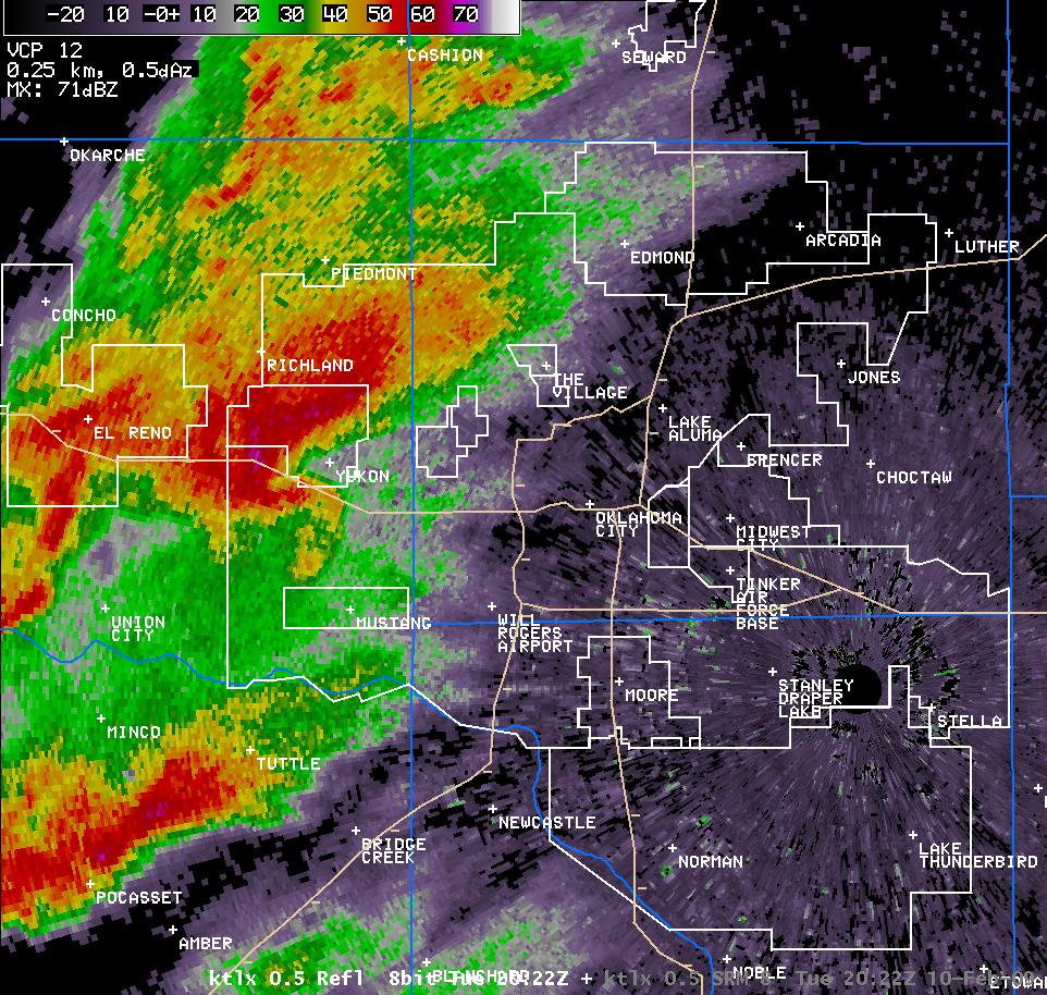 2:22 pm CST |
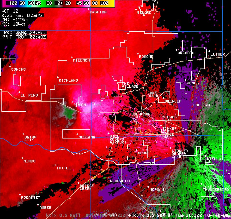 2:22 pm CST |
||
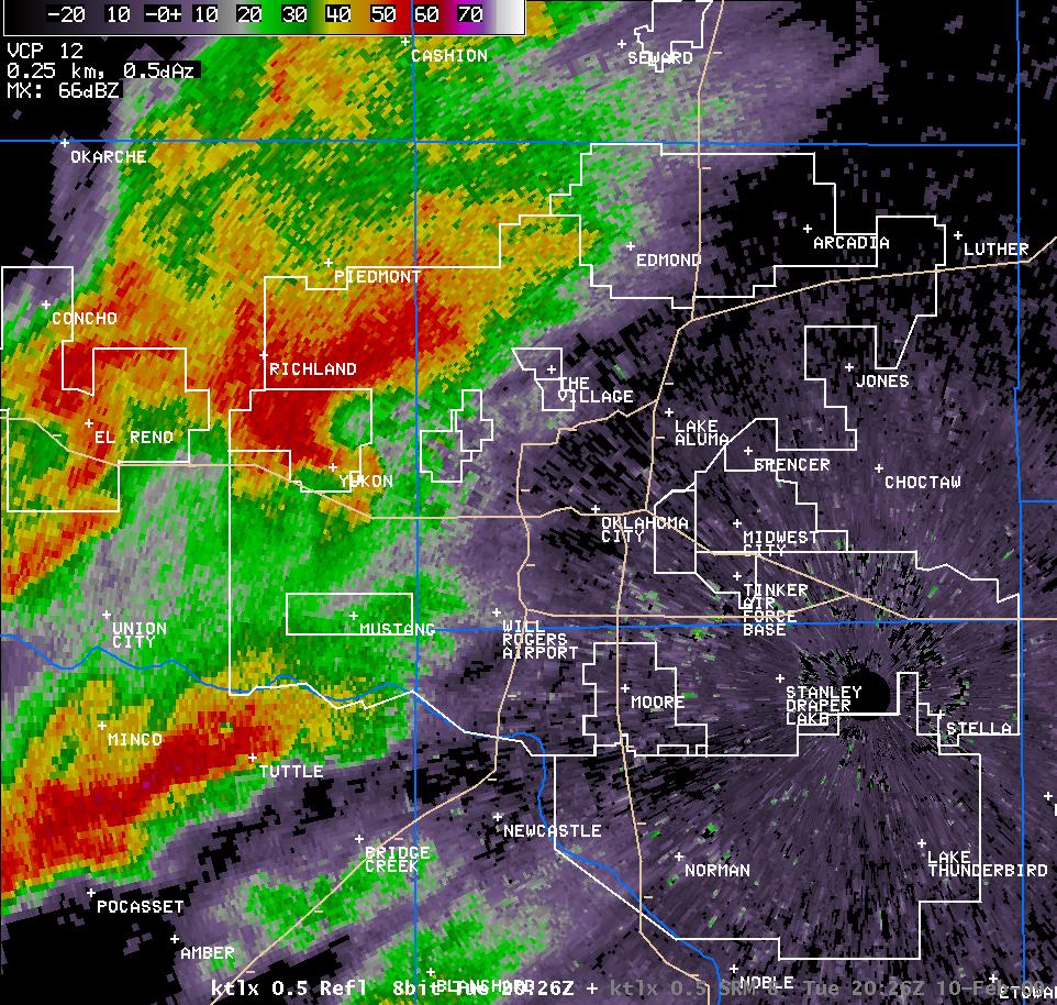 2:26 pm CST |
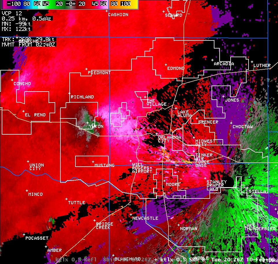 2:26 pm CST |
||
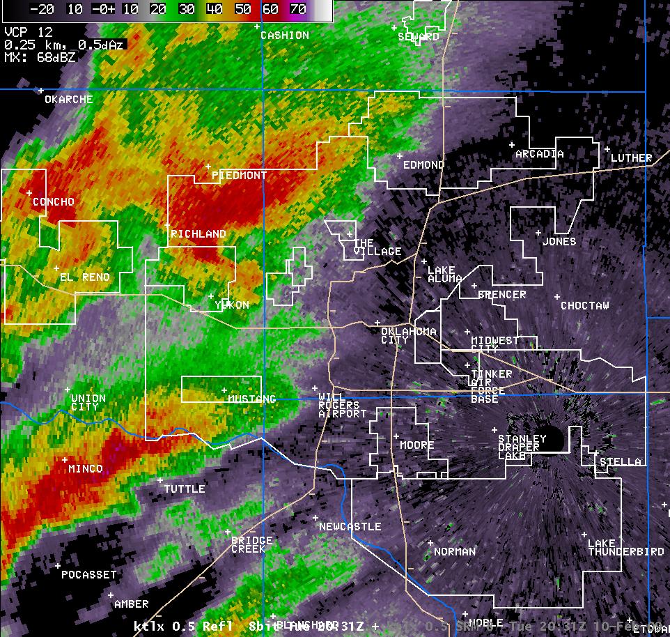 2:31 pm CST |
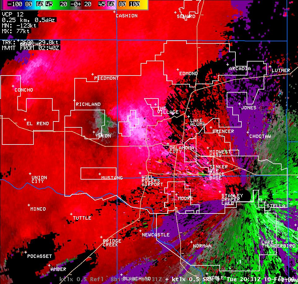 2:31 pm CST |
||
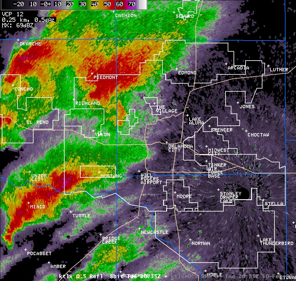 2:35 pm CST |
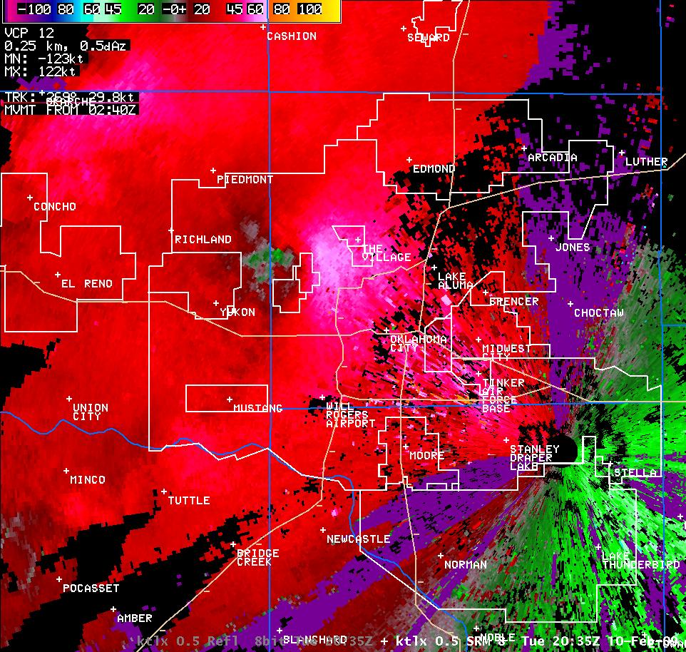 2:35 pm CST |
||
 2:39 pm CST |
 2:39 pm CST |
||
 2:43 pm CST |
 2:43 pm CST |
||
 2:48 pm CST |
 2:48 pm CST |
||
 2:52 pm CST |
 2:52 pm CST |
||
 2:56 pm CST |
 2:56 pm CST |
||
 3:00 pm CST |
 3:00 pm CST |
||
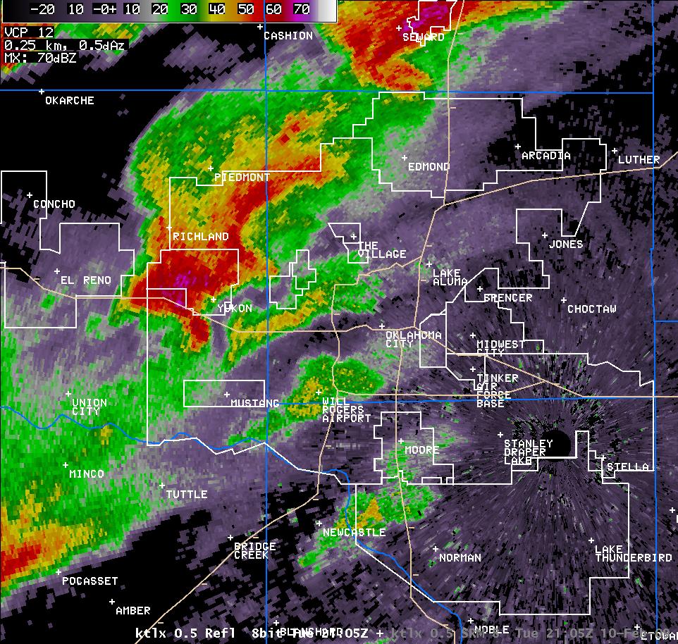 3:05 pm CST |
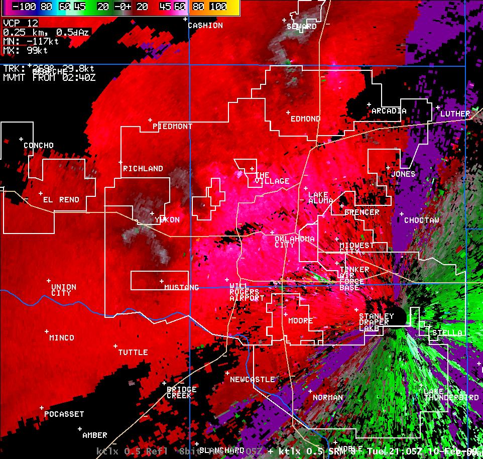 3:05 pm CST |
||
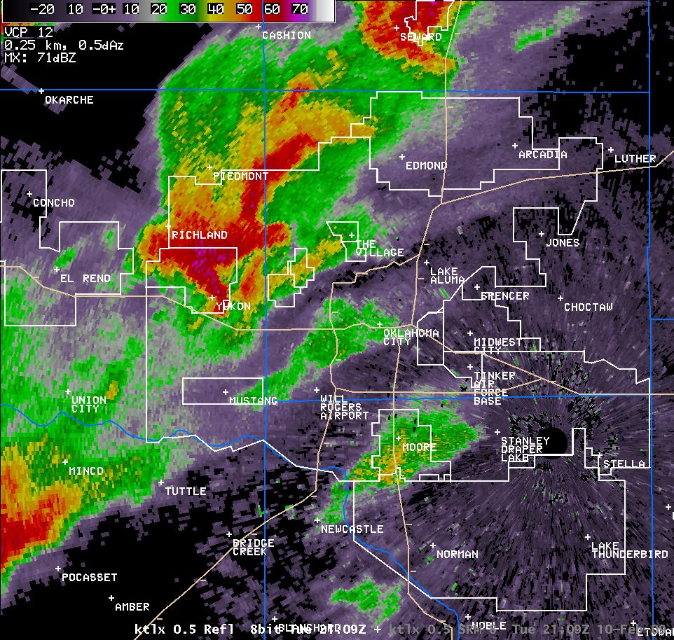 3:09 pm CST |
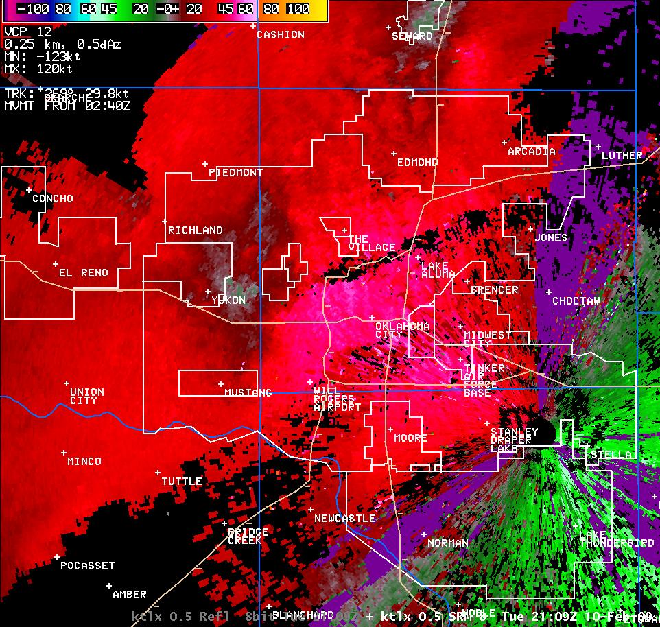 3:09 pm CST |
||
| Radar Imagery for February 10, 2009 in South Central Oklahoma | |||
| Twin Lakes, OK Radar (KTLX) Imagery | Frederick, OK Radar (KTLX) Imagery | ||
| Reflectivity - Time (CST) | Velocity - Time (CST) | Reflectivity - Time (CST) | Velocity - Time (CST) |
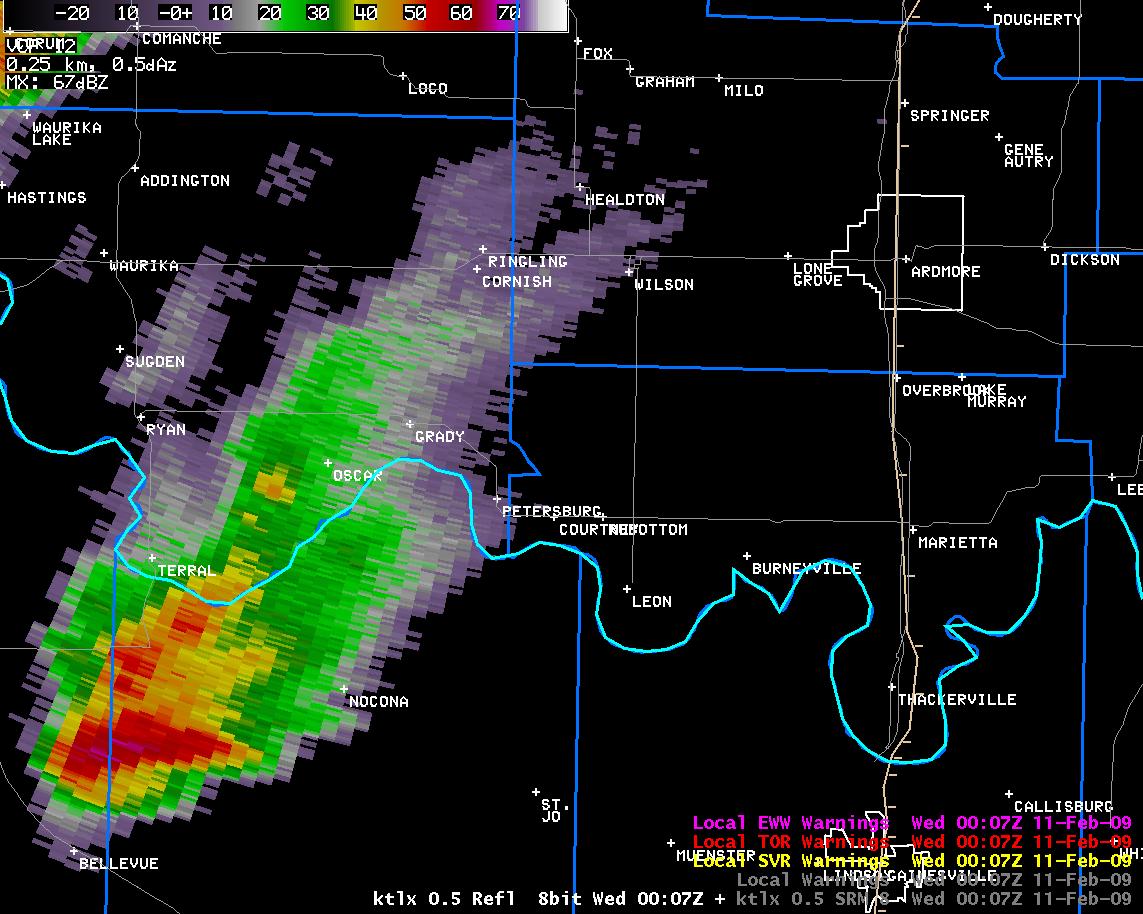 6:07 pm CST |
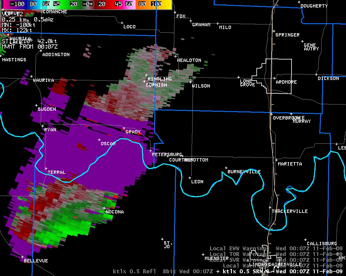 6:07 pm CST |
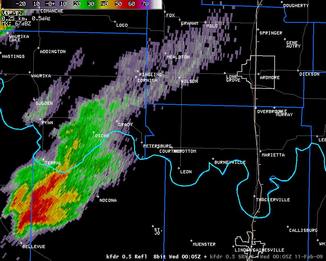 6:05 pm CST |
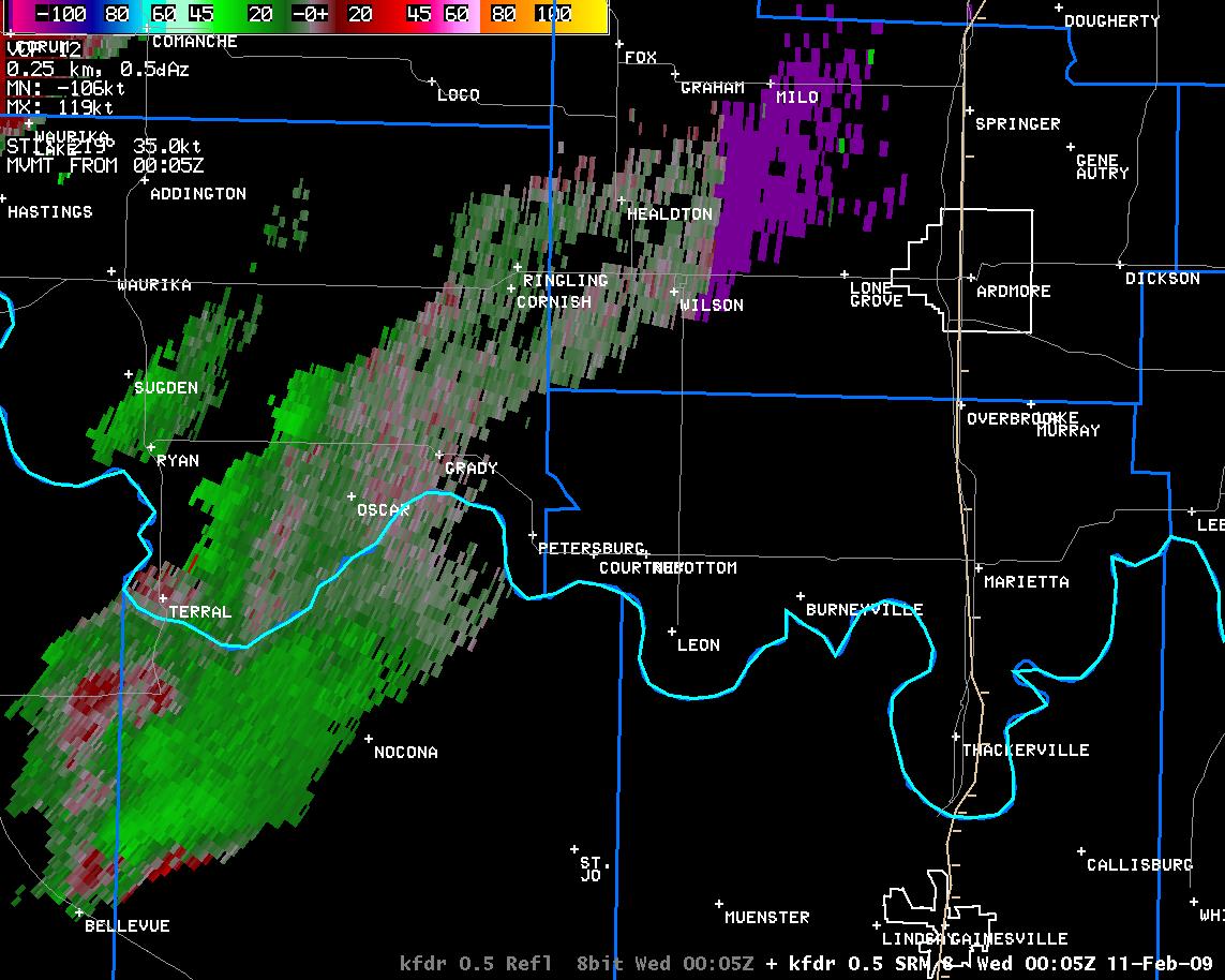 6:05 pm CST |
 6:11 pm CST |
 6:11 pm CST |
 6:10 pm CST |
 6:10 pm CST |
 6:16 pm CST |
 6:16 pm CST |
 6:14 pm CST |
 6:14 pm CST |
 6:20 pm CST |
 6:20 pm CST |
 6:18 pm CST |
 618 pm CST |
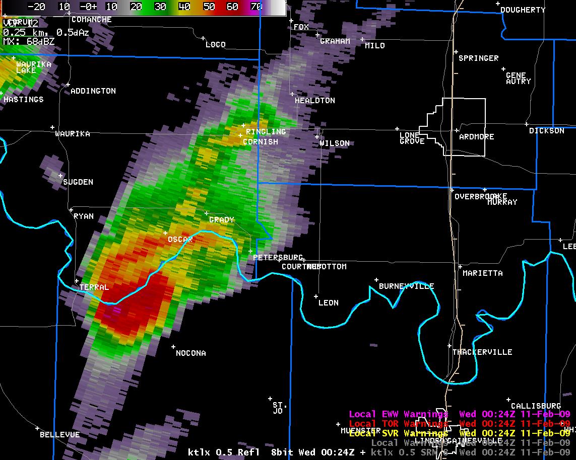 6:24 pm CST |
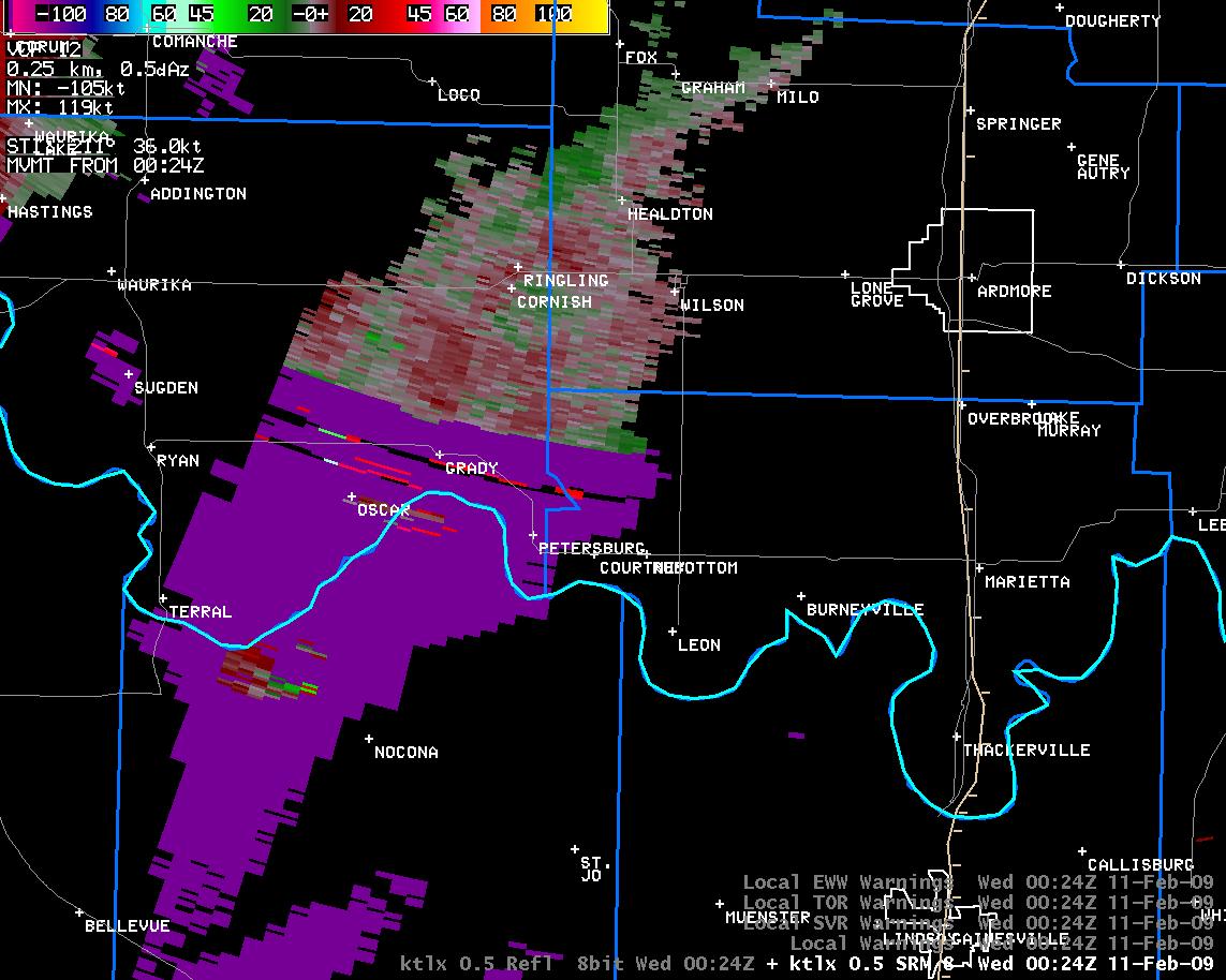 6:24 pm CST |
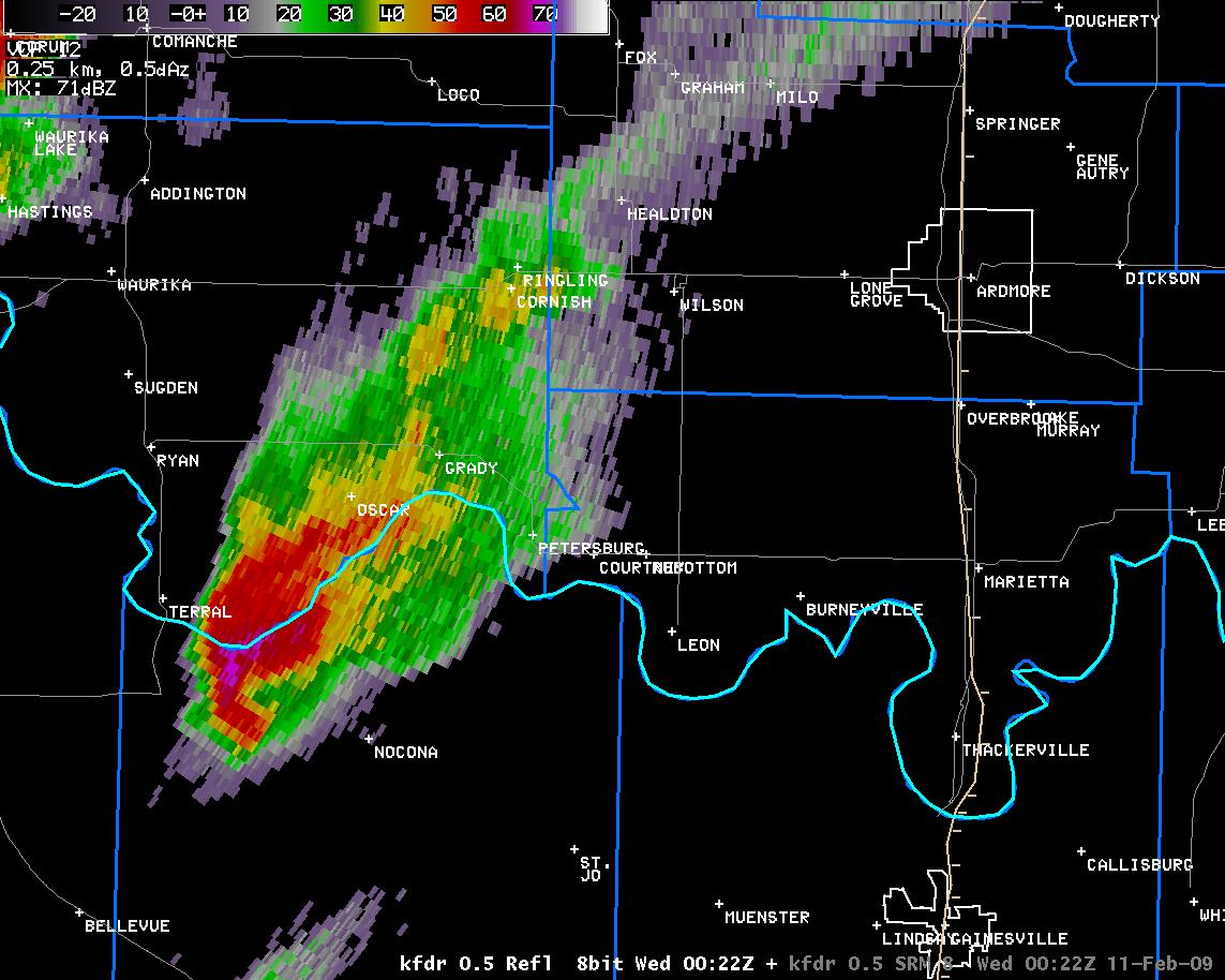 6:22 pm CST |
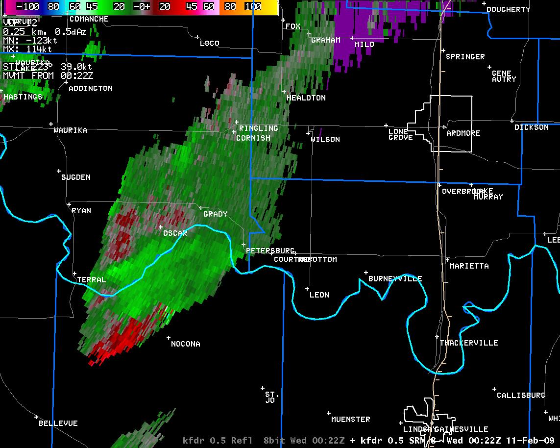 6:22 pm CST |
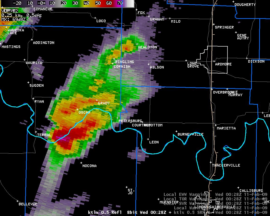 6:28 pm CST |
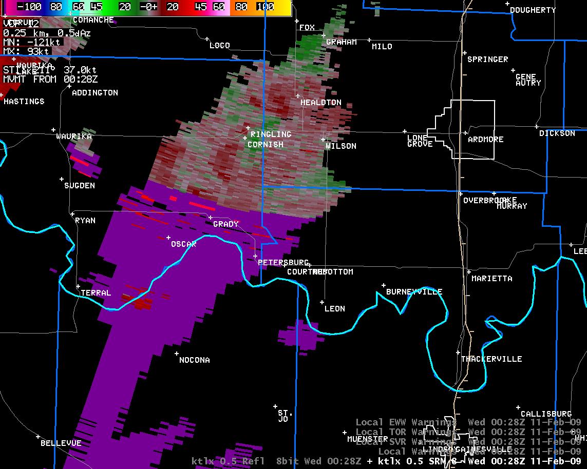 6:28 pm CST |
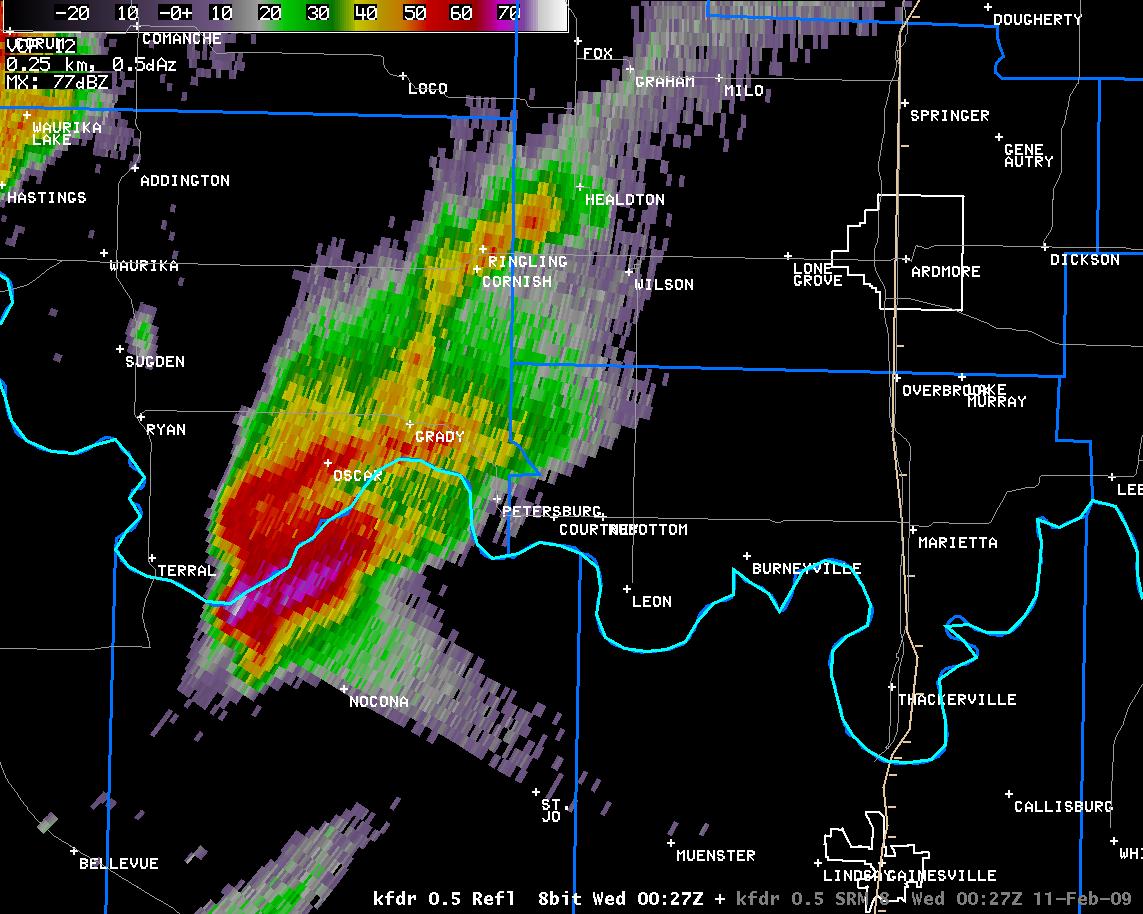 6:27 pm CST |
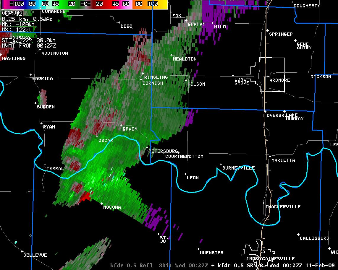 6:27 pm CST |
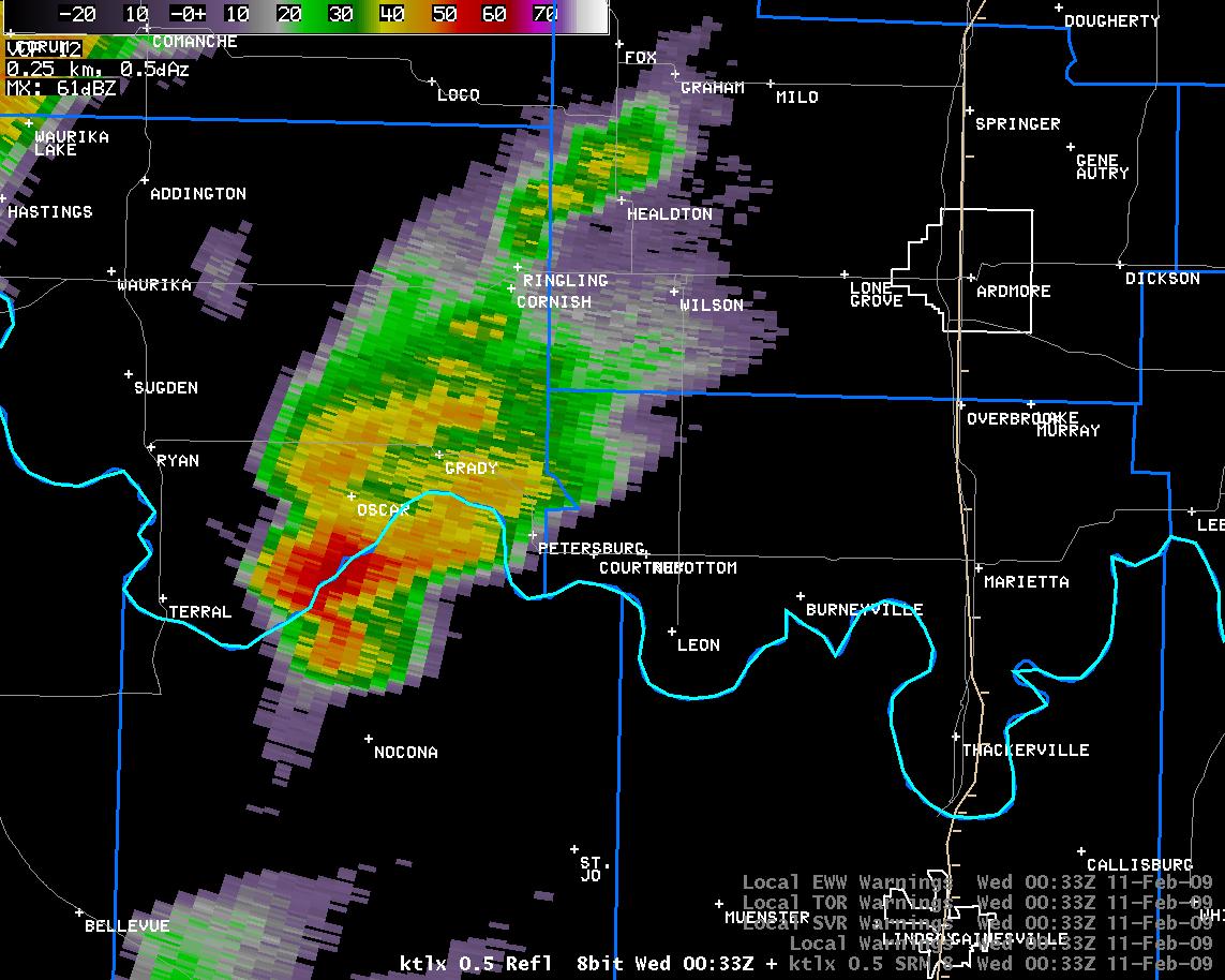 6:33 pm CST |
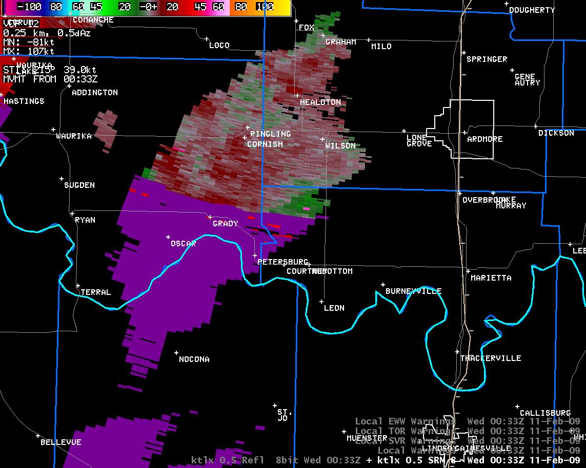 6:33 pm CST |
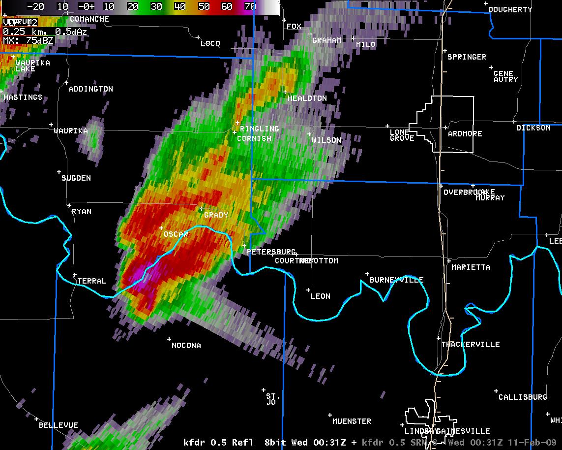 6:31 pm CST |
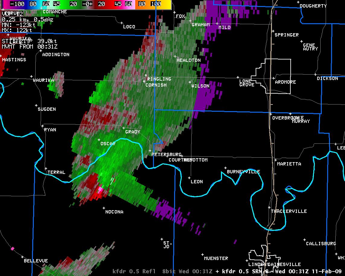 6:31 pm CST |
 6:37 pm CST |
 6:37 pm CST |
 6:35 pm CST |
 6:35 pm CST |
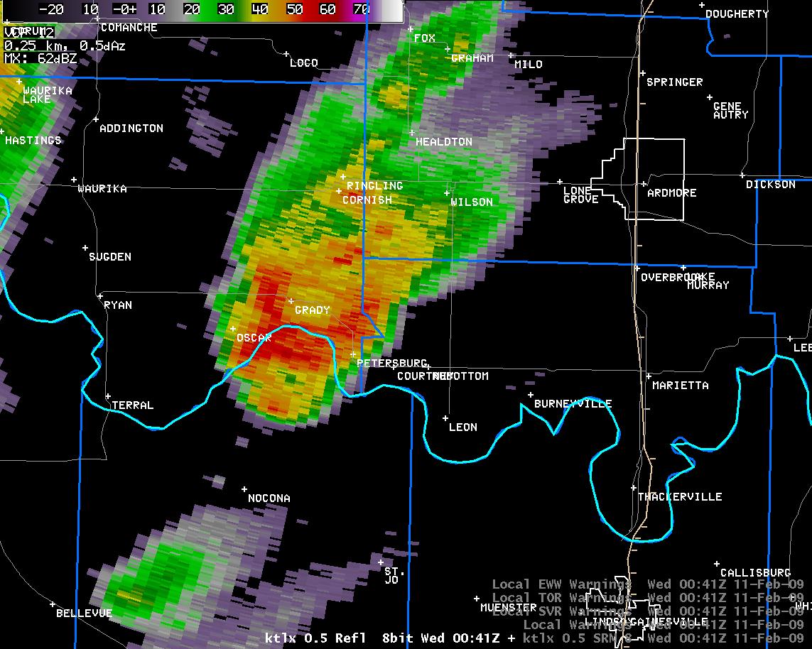 6:41 pm CST |
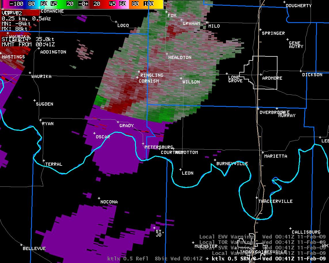 6:41 pm CST |
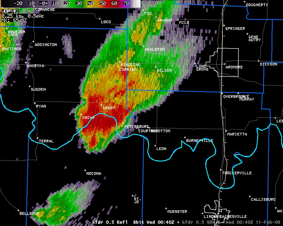 6:40 pm CST |
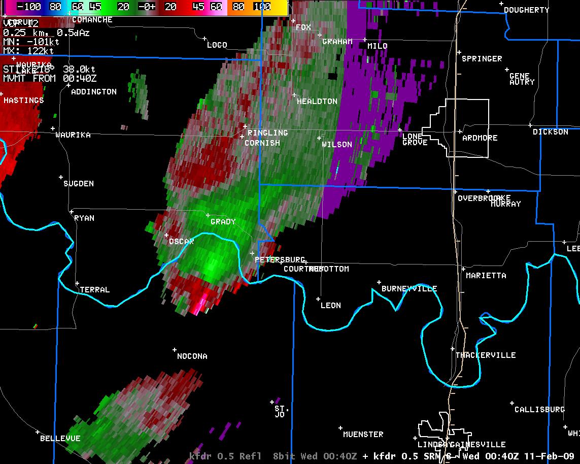 6:40 pm CST |
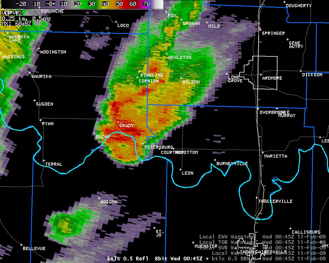 6:45 pm CST |
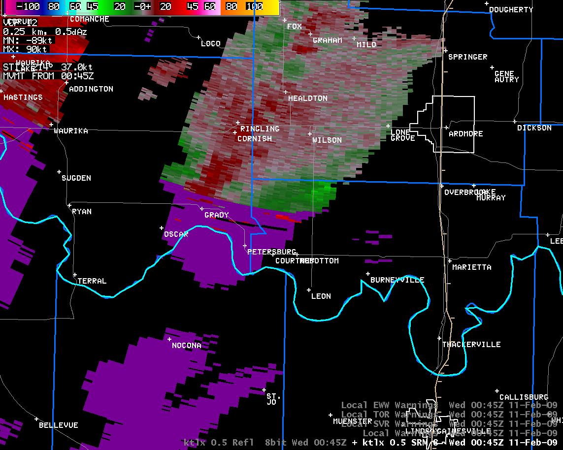 6:45 pm CST |
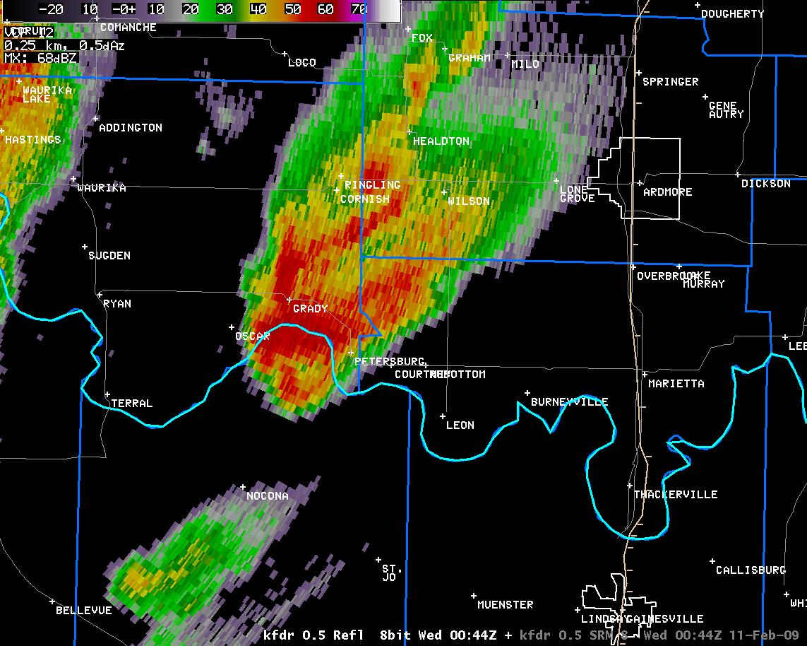 6:44 pm CST |
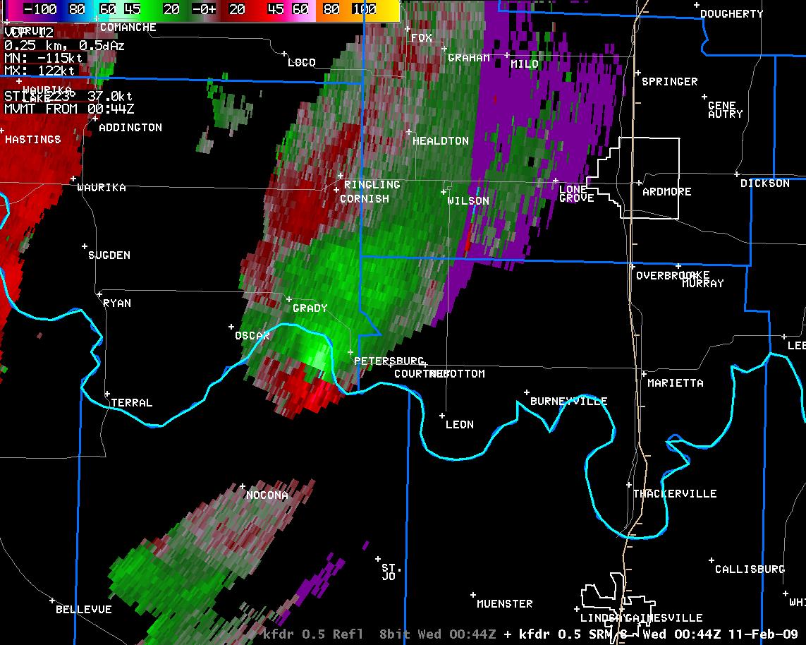 6:44 pm CST |
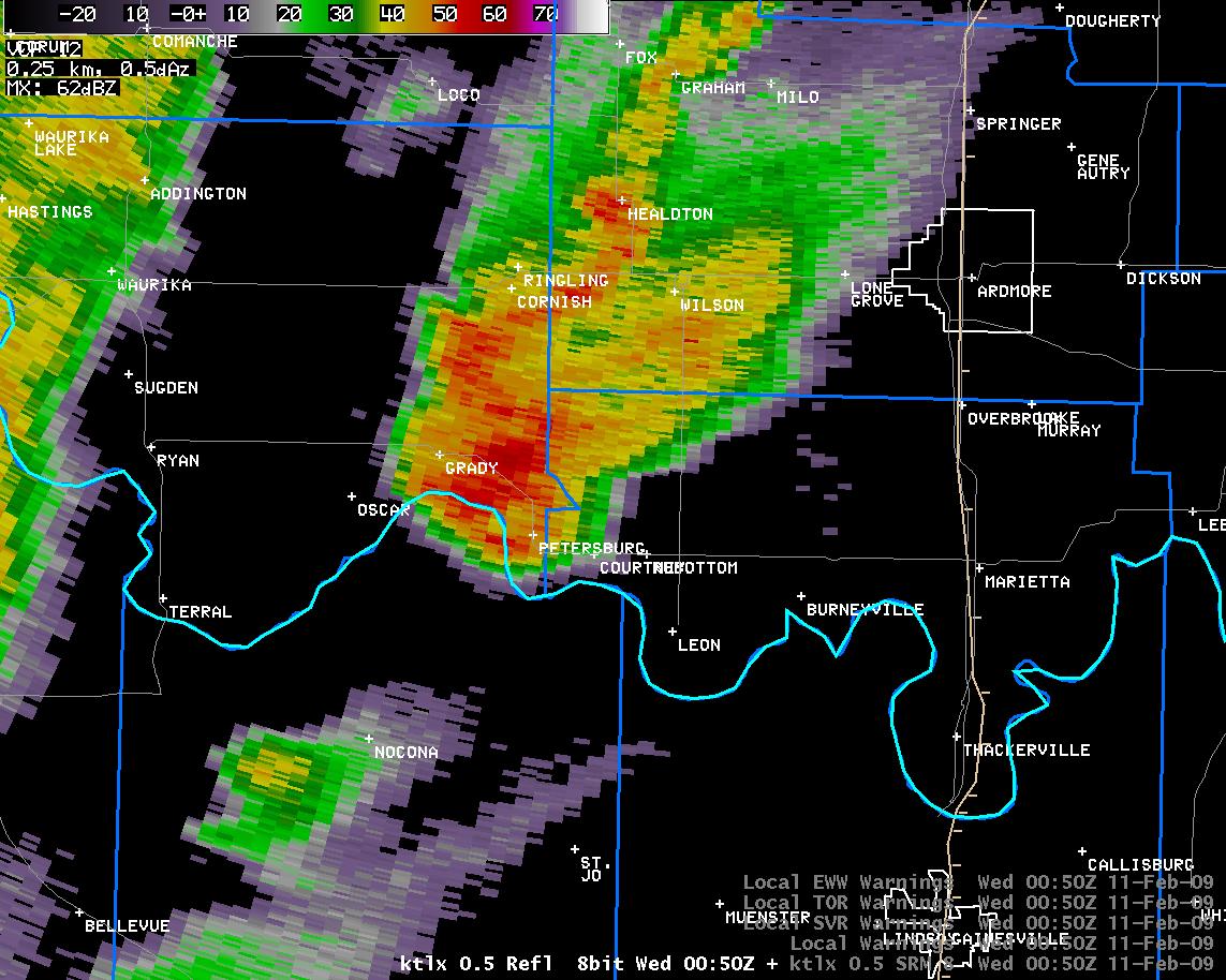 6:50 pm CST |
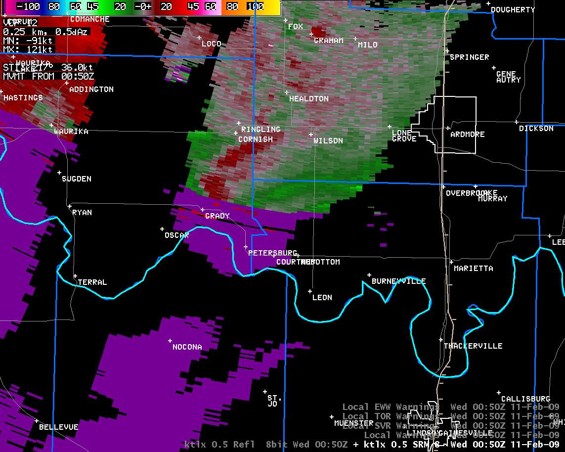 6:50 pm CST |
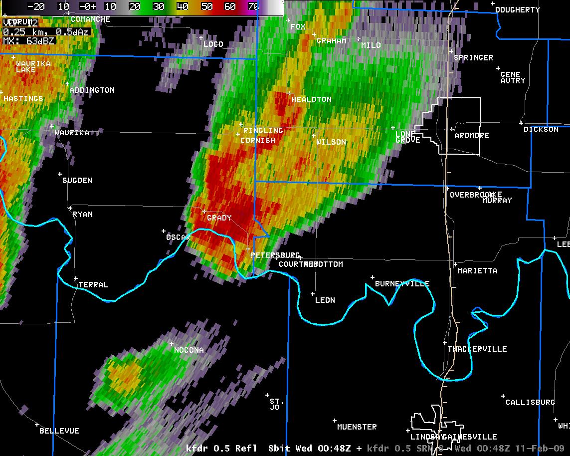 6:48 pm CST |
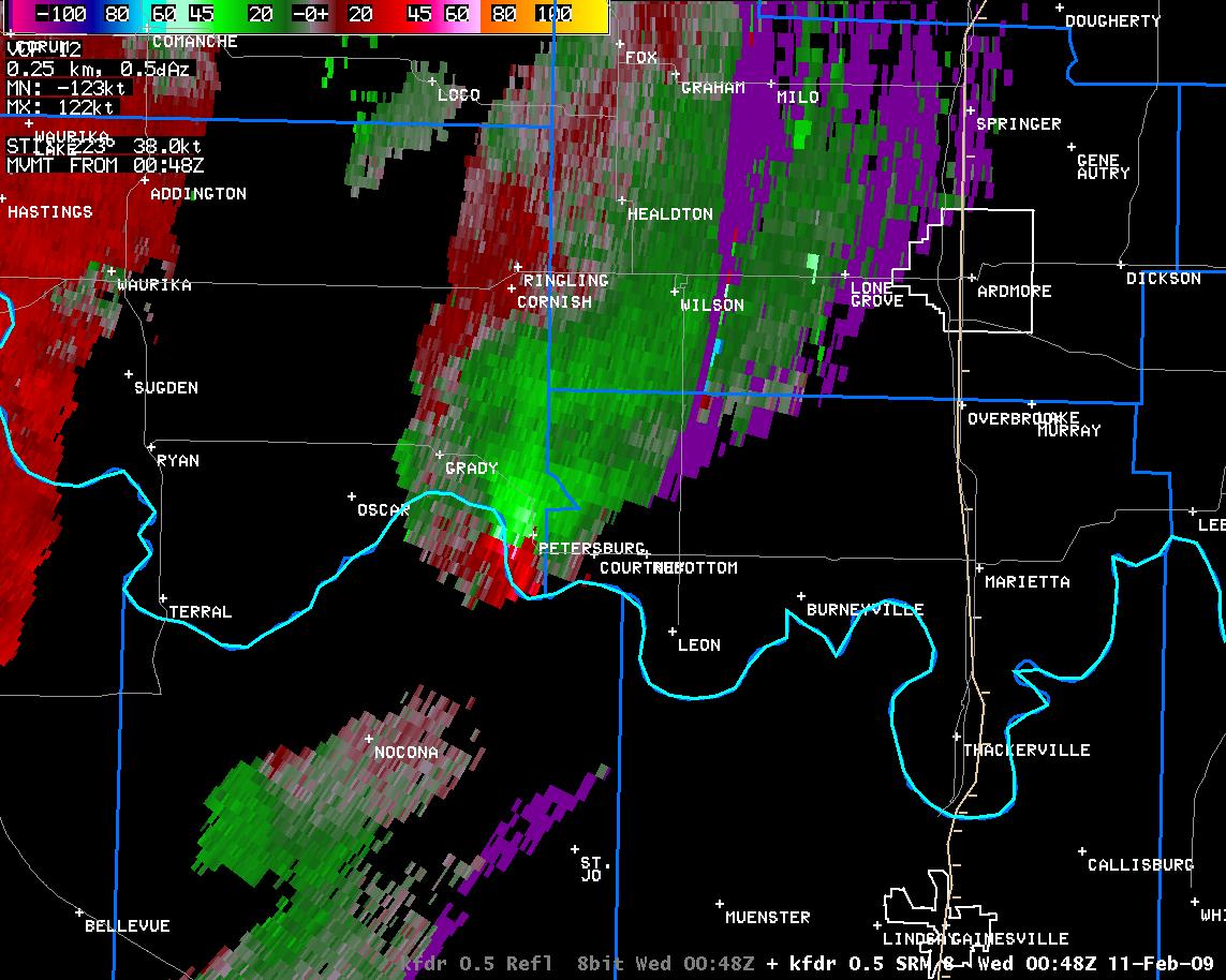 6:48 pm CST |
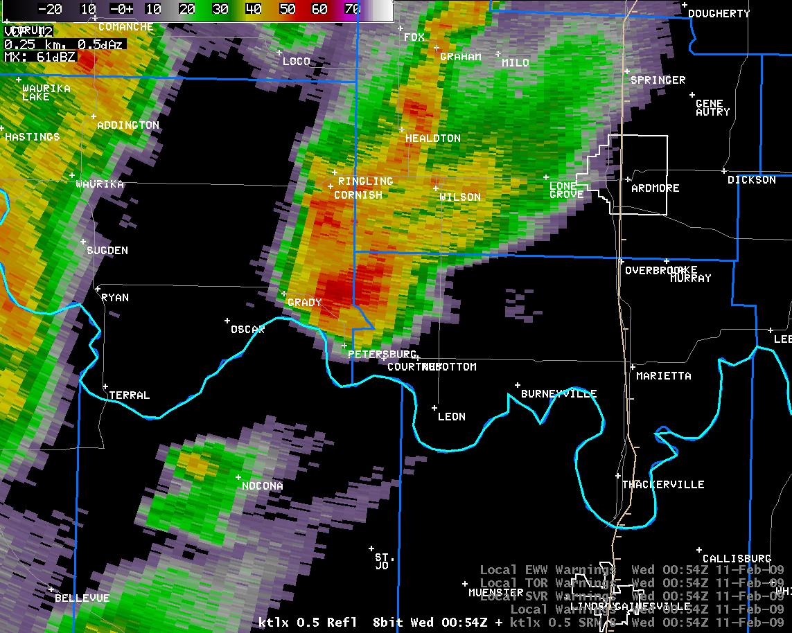 6:54 pm CST |
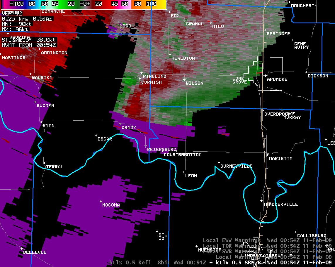 6:54 pm CST |
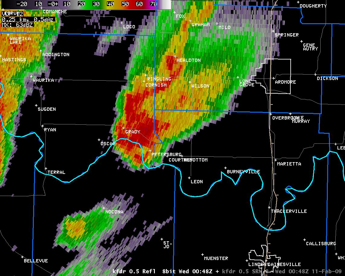 6:53 pm CST |
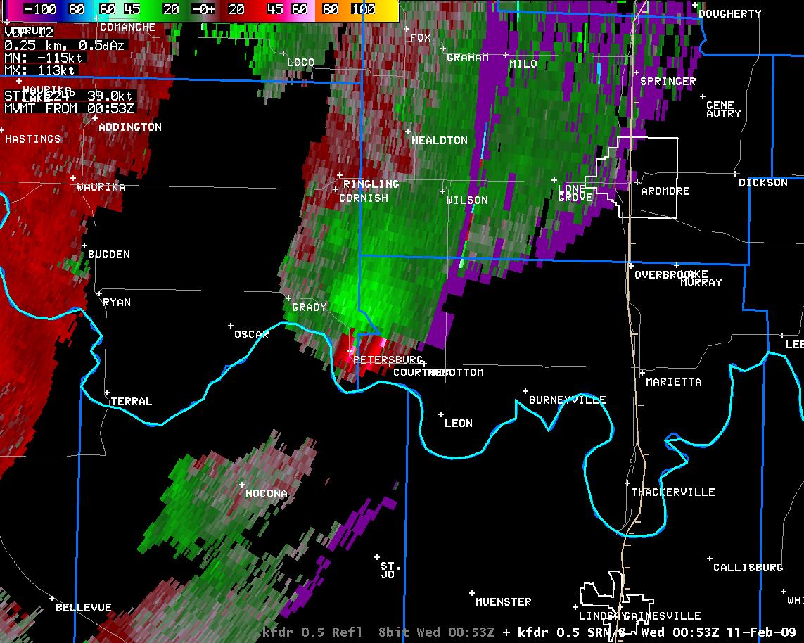 6:53 pm CST |
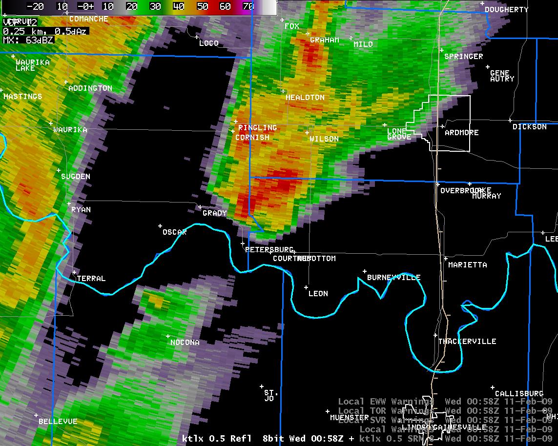 6:58 pm CST |
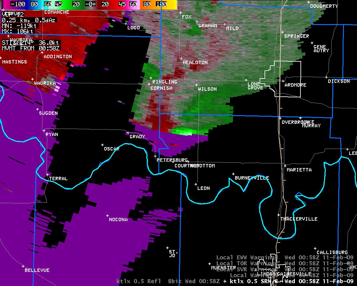 6:58 pm CST |
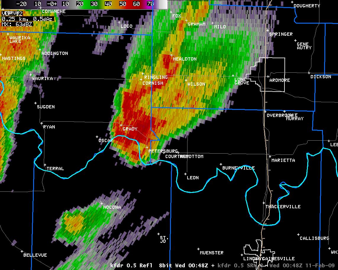 6:57 pm CST |
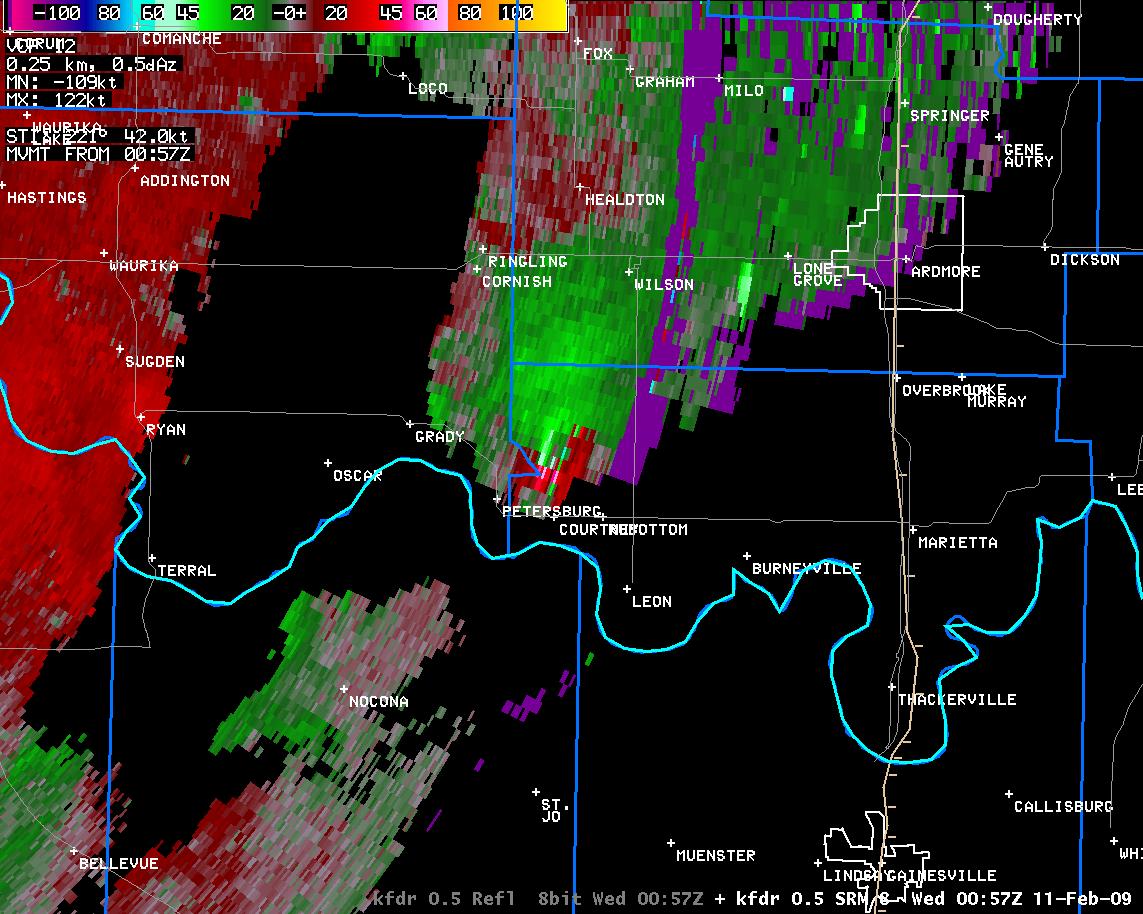 6:57 pm CST |
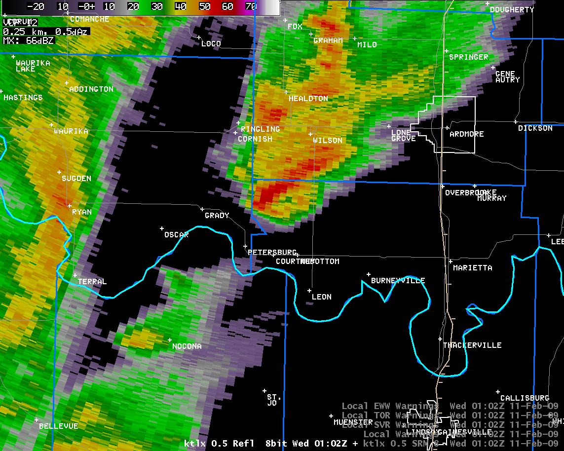 7:02 pm CST |
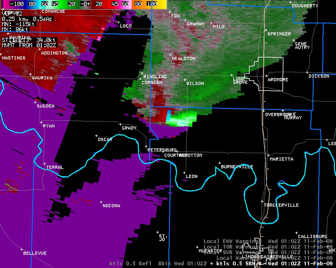 7:02 pm CST |
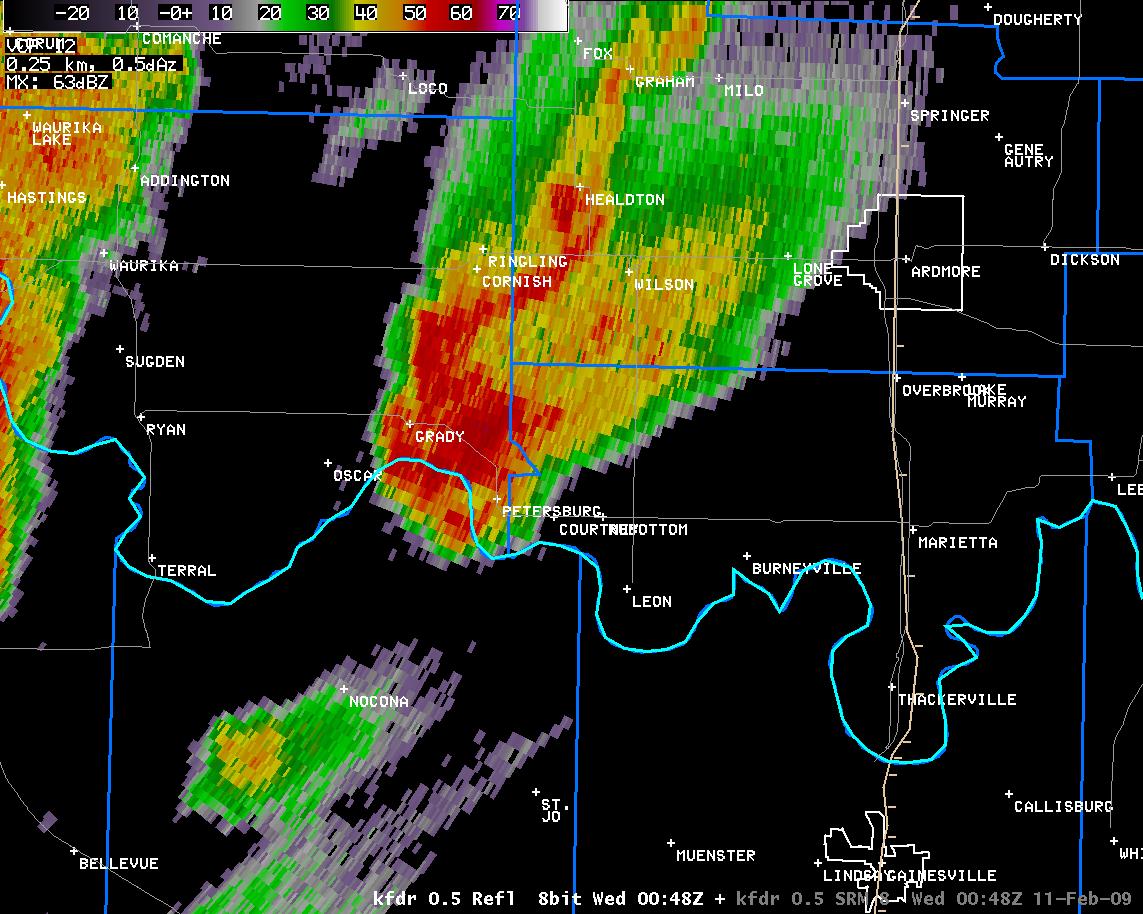 7:01 pm CST |
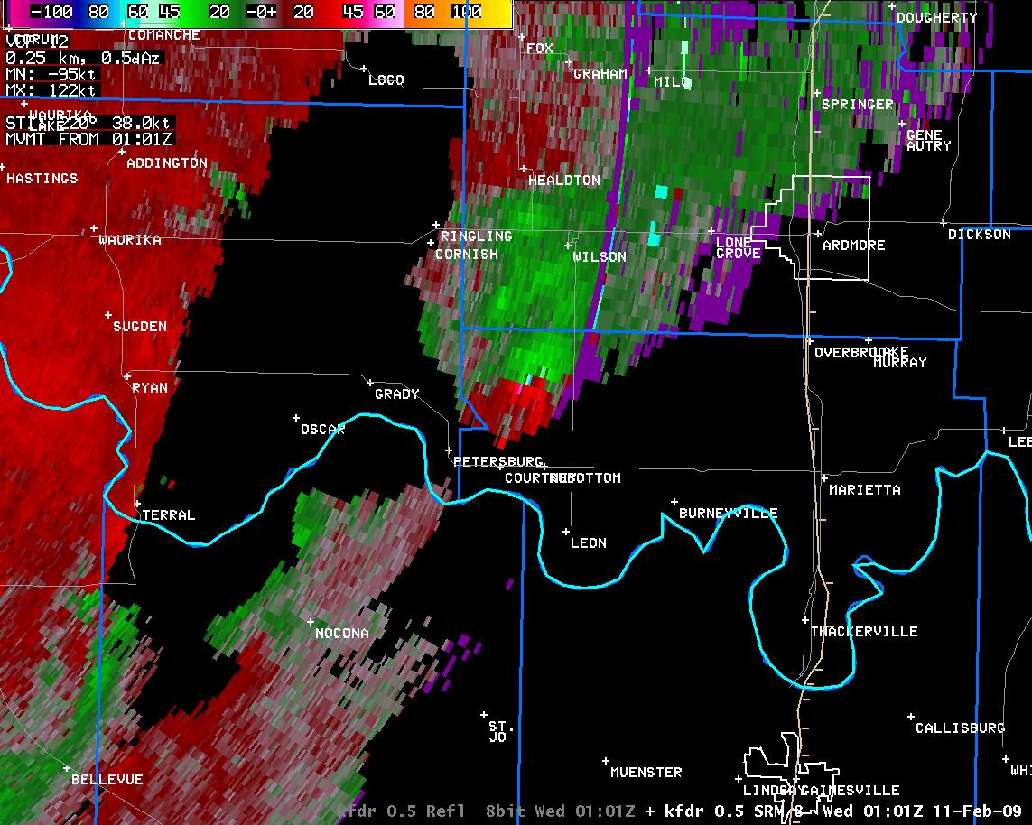 7:01 pm CST |
 7:06 pm CST |
 7:06 pm CST |
 7:05 pm CST |
 7:05 pm CST |
 7:09 pm CST |
 7:09 pm CST |
 7:10 pm CST |
 7:10 pm CST |
 7:13 pm CST |
 7:13 pm CST |
 7:14 pm CST |
 7:14 pm CST |
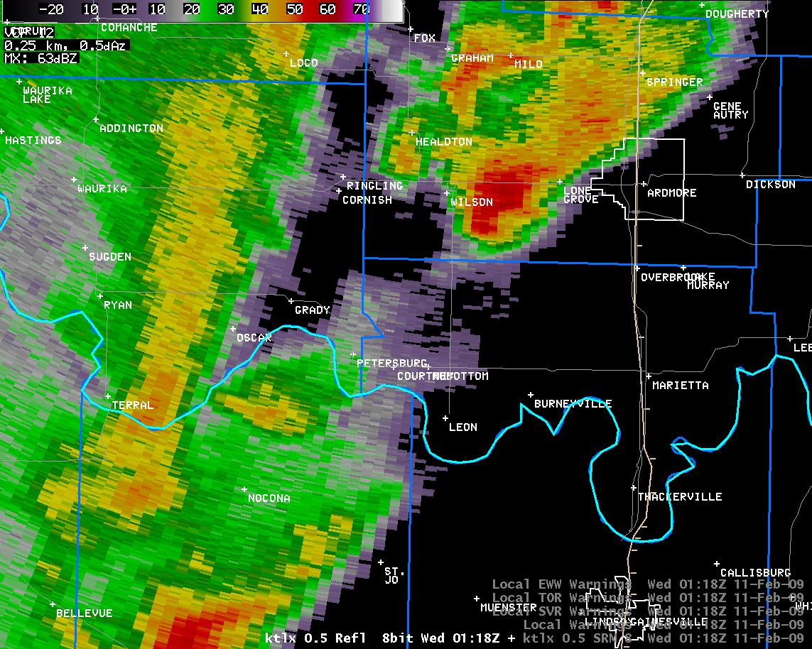 7:18 pm CST |
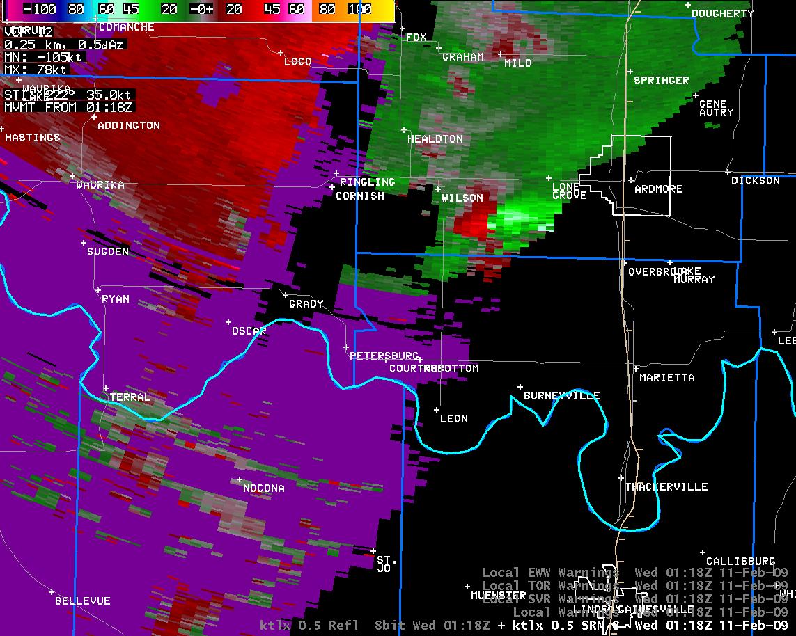 7:18 pm CST |
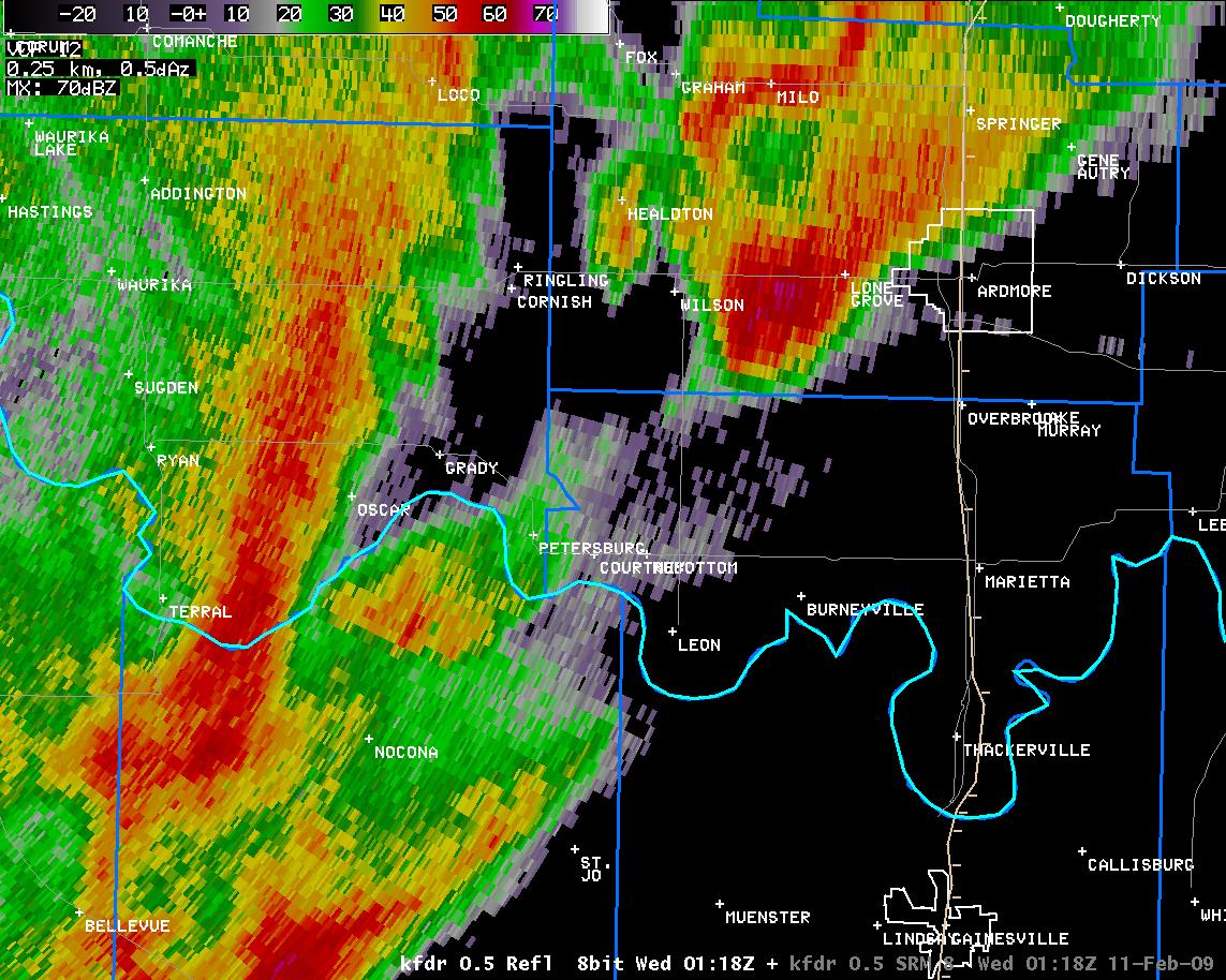 7:18 pm CST |
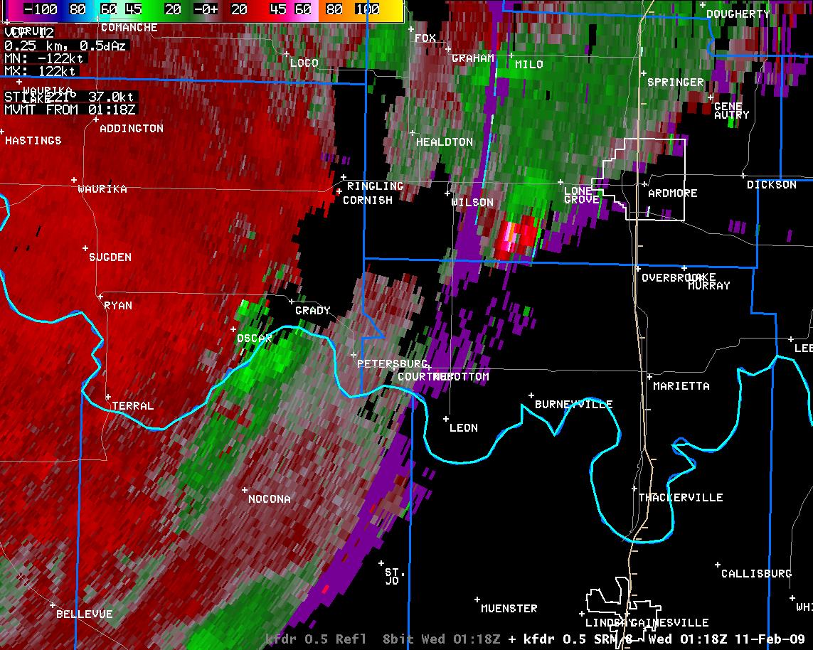 7:18 pm CST |
 7:22 pm CST |
 7:22 pm CST |
 7:23 pm CST |
 7:23 pm CST |
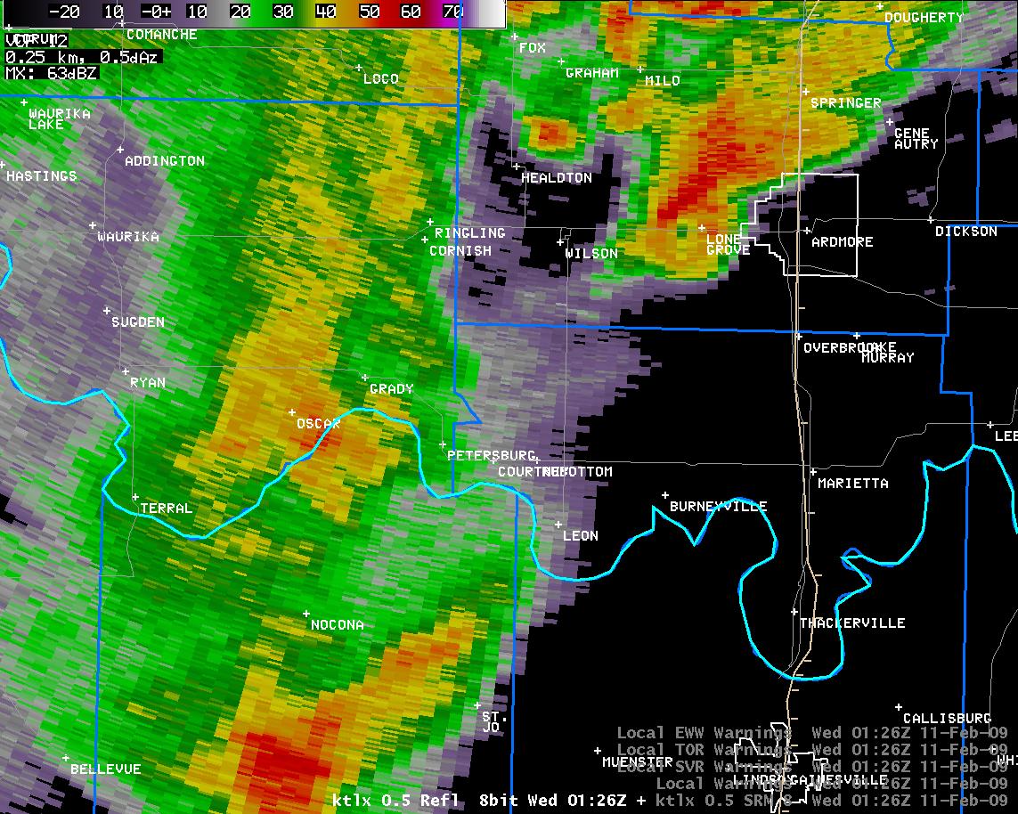 7:26 pm CST |
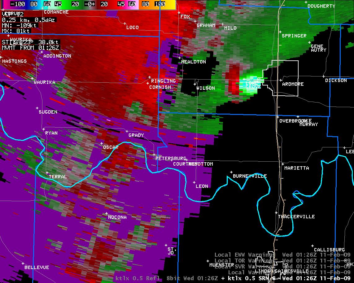 7:26 pm CST |
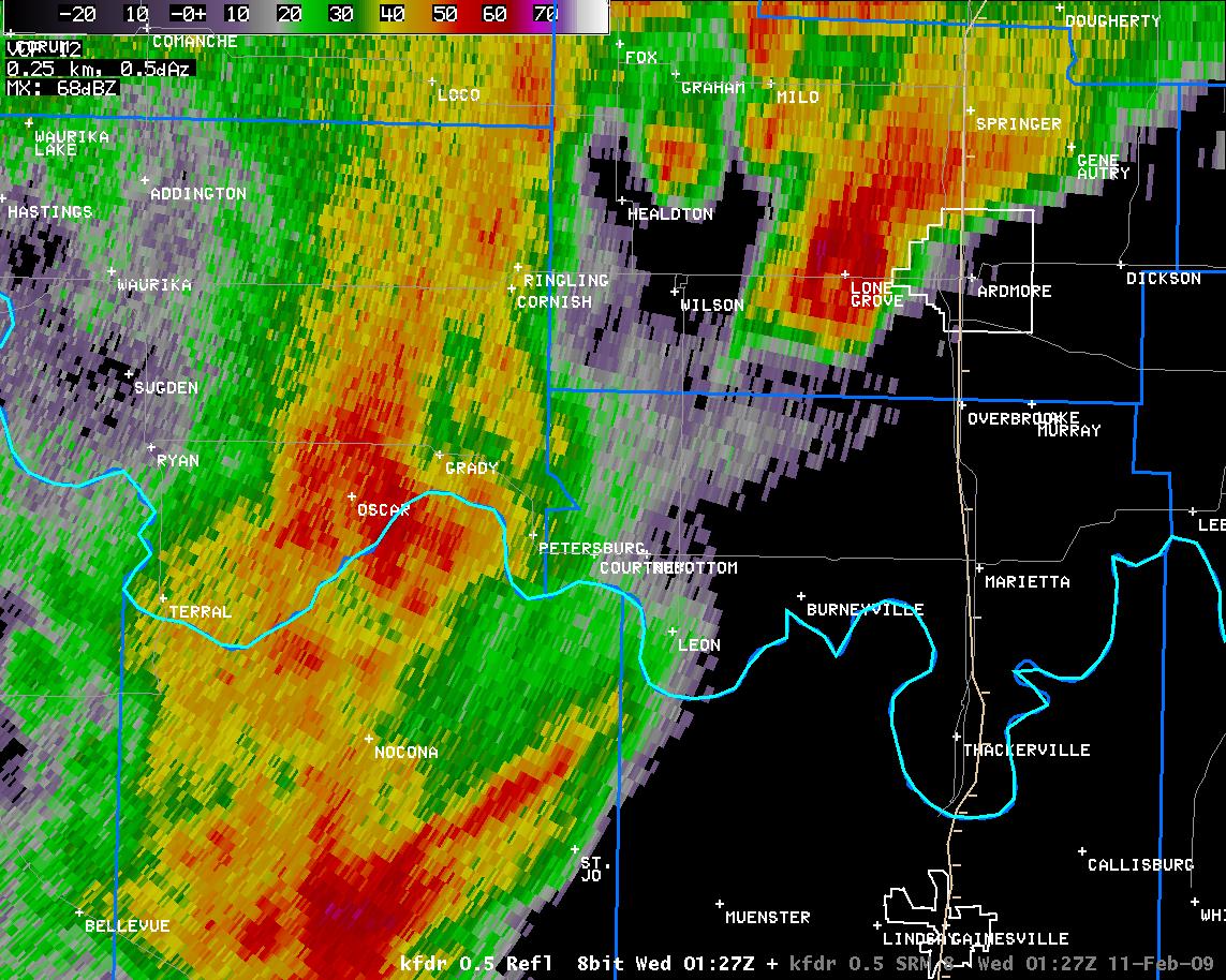 7:27 pm CST |
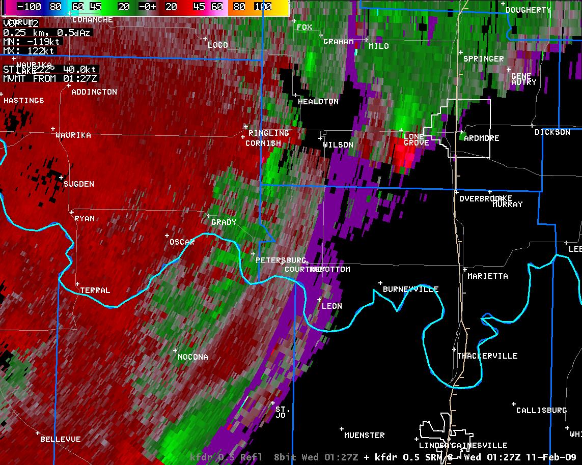 7:27 pm CST |
 7:30 pm CST |
 7:30 pm CST |
 7:31 pm CST |
 7:31 pm CST |
 7:37 pm CST |
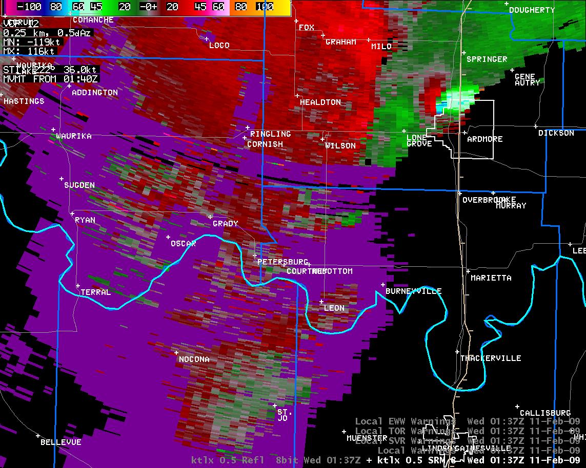 7:37 pm CST |
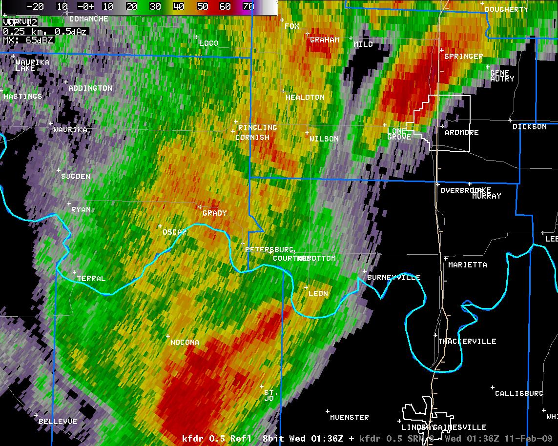 7:36 pm CST |
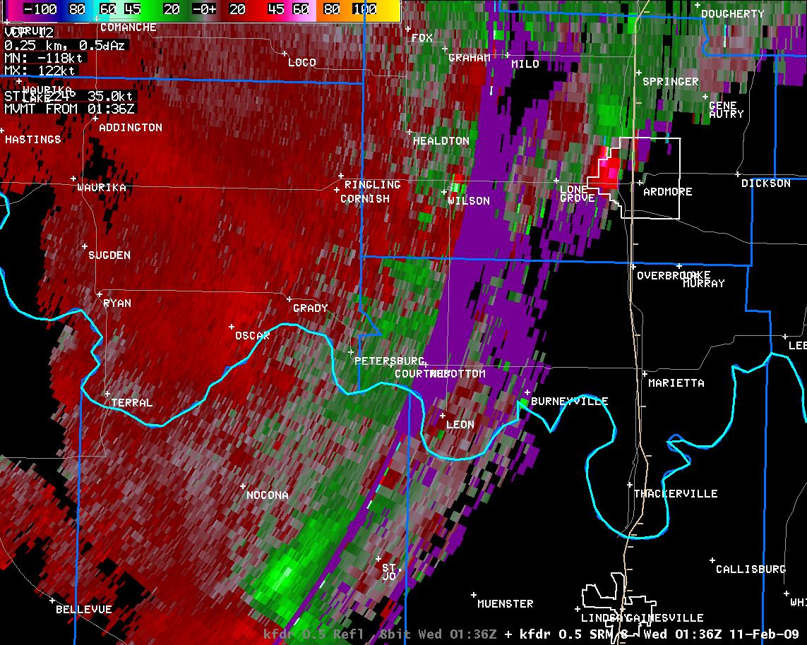 7:38 pm CST |
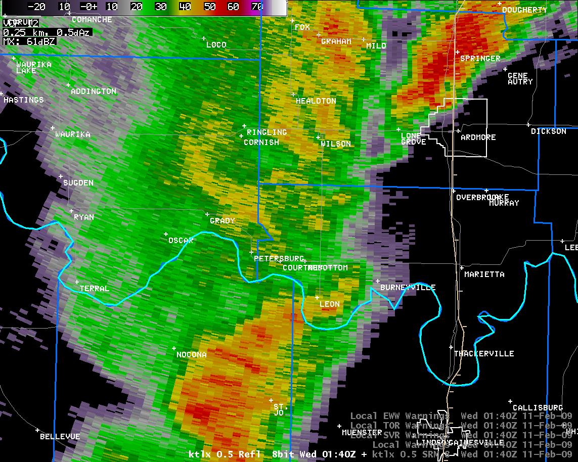 7:40 pm CST |
 7:40 pm CST |
 7:40 pm CST |
 7:40 pm CST |
 7:44 pm CST |
 7:44 pm CST |
 7:45 pm CST |
 7:45 pm CST |
 7:48 pm CST |
 7:48 pm CST |
 7:49 pm CST |
 7:49 pm CST |
 7:53 pm CST |
 7:53 pm CST |
 7:54 pm CST |
 7:54 pm CST |
 7:57 pm CST |
 7:57 pm CST |
 7:58 pm CST |
 7:58 pm CST |
 8:01 pm CST |
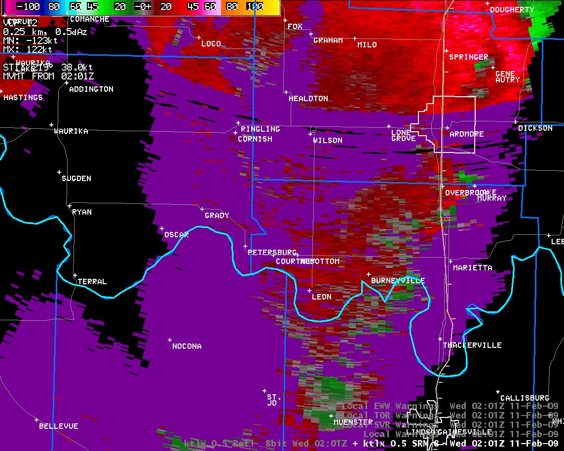 8:01 pm CST |
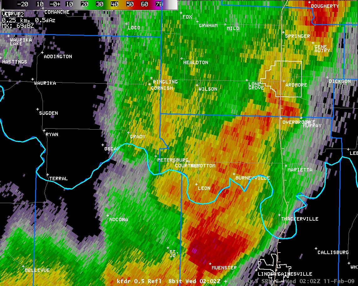 8:02 pm CST |
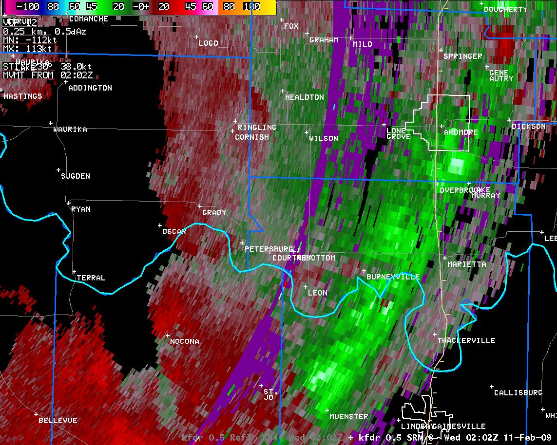 8:02 pm CST |
| KTLX Radar Imagery and Warning Polygons at 2:18 pm CST on February 10, 2009 | |
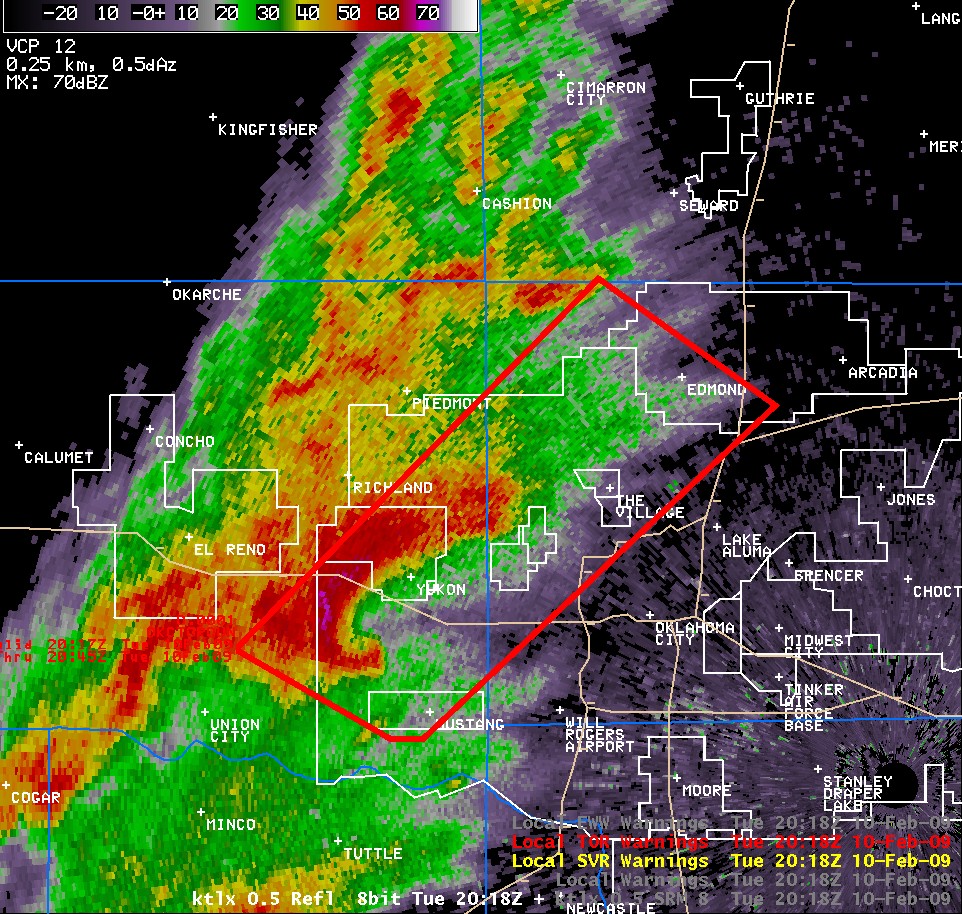 Reflectivity |
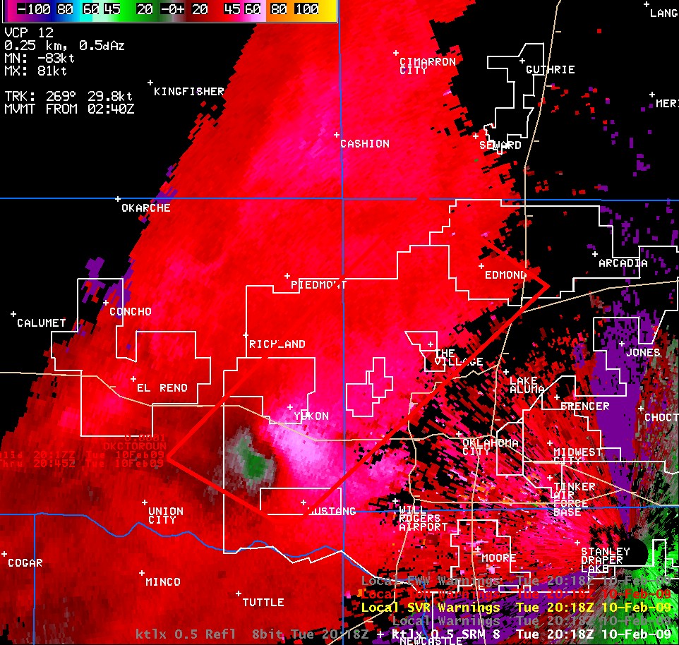 Storm Relative Velocity |
| KFDR Radar Imagery and Warning Polygons at 6:31 pm CST on February 10, 2009 | |
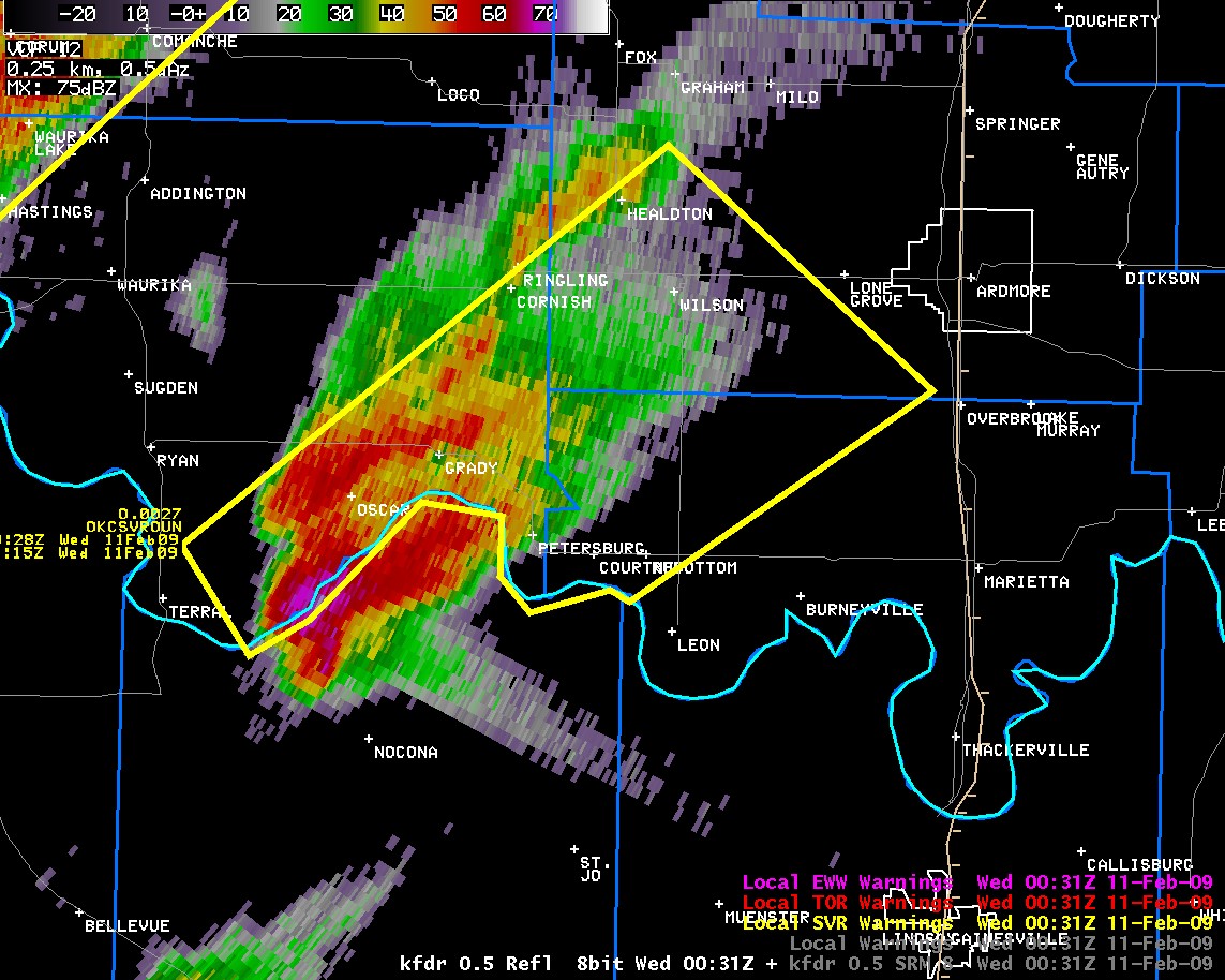 Reflectivity |
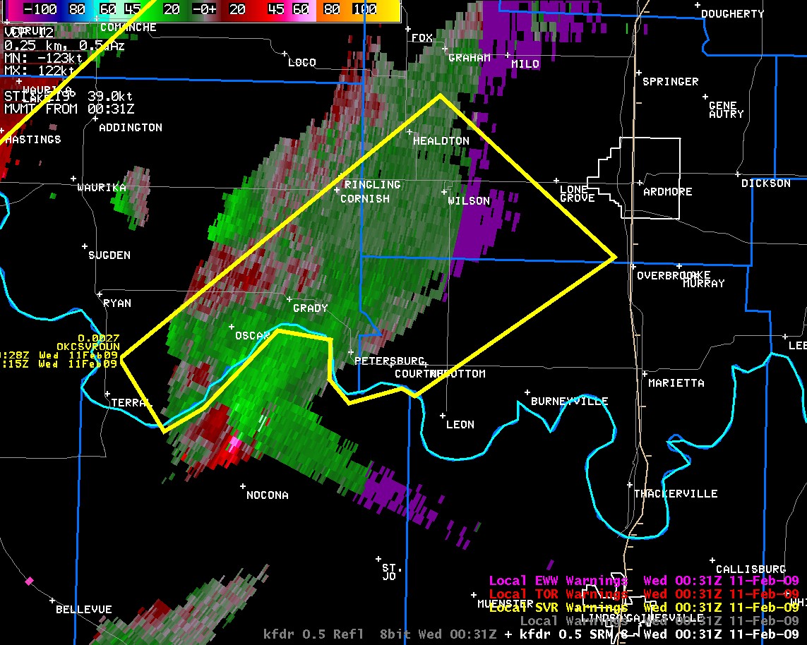 Storm Relative Velocity |
| KTLX Radar Imagery and Warning Polygons at 6:50 pm CST on February 10, 2009 | |
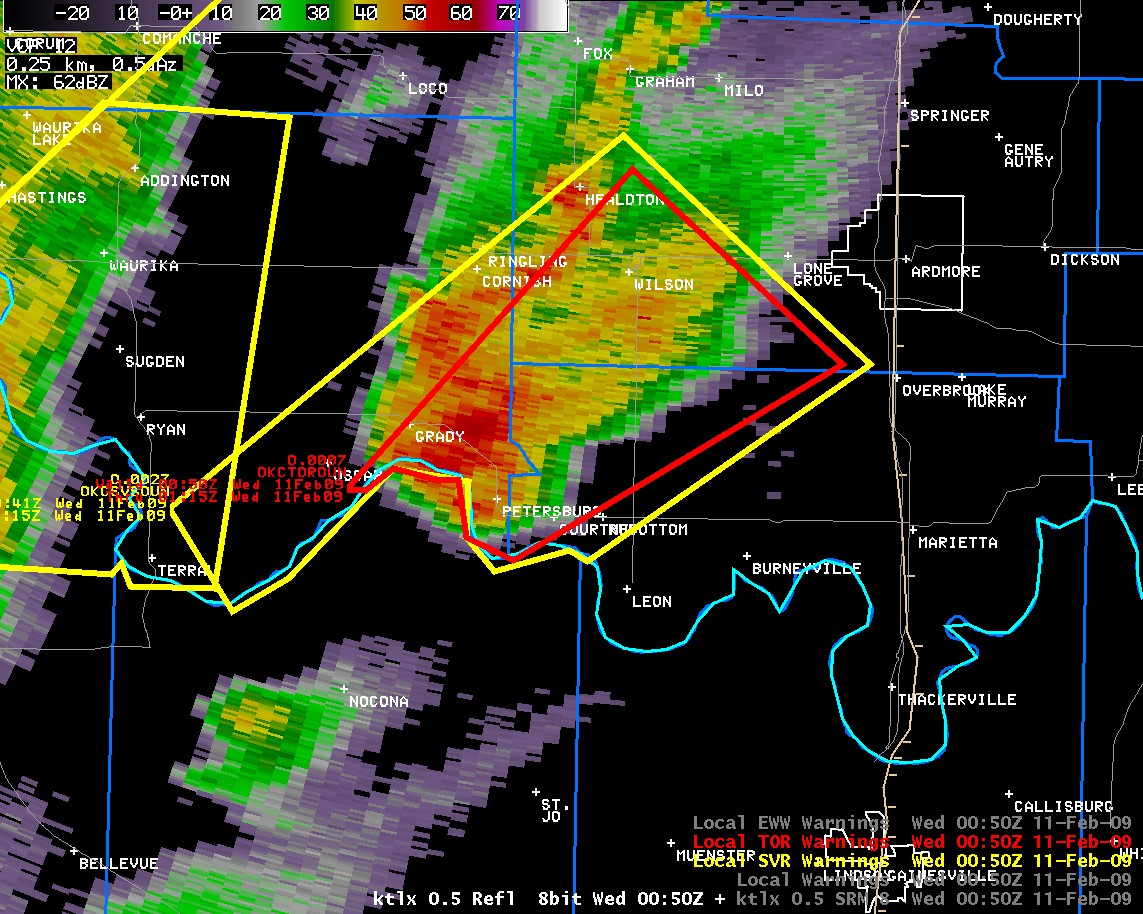 Reflectivity |
 Storm Relative Velocity |
| KFDR Radar Imagery and Warning Polygons at 6:53 pm CST on February 10, 2009 | |
 Reflectivity |
 Storm Relative Velocity |
| KFDR Radar Imagery and Warning Polygons at 7:18 pm CST on February 10, 2009 | |
 Reflectivity |
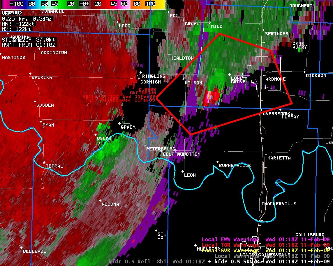 Storm Relative Velocity |
| KTLX Radar Imagery and Warning Polygons at 7:18 pm CST on February 10, 2009 | |
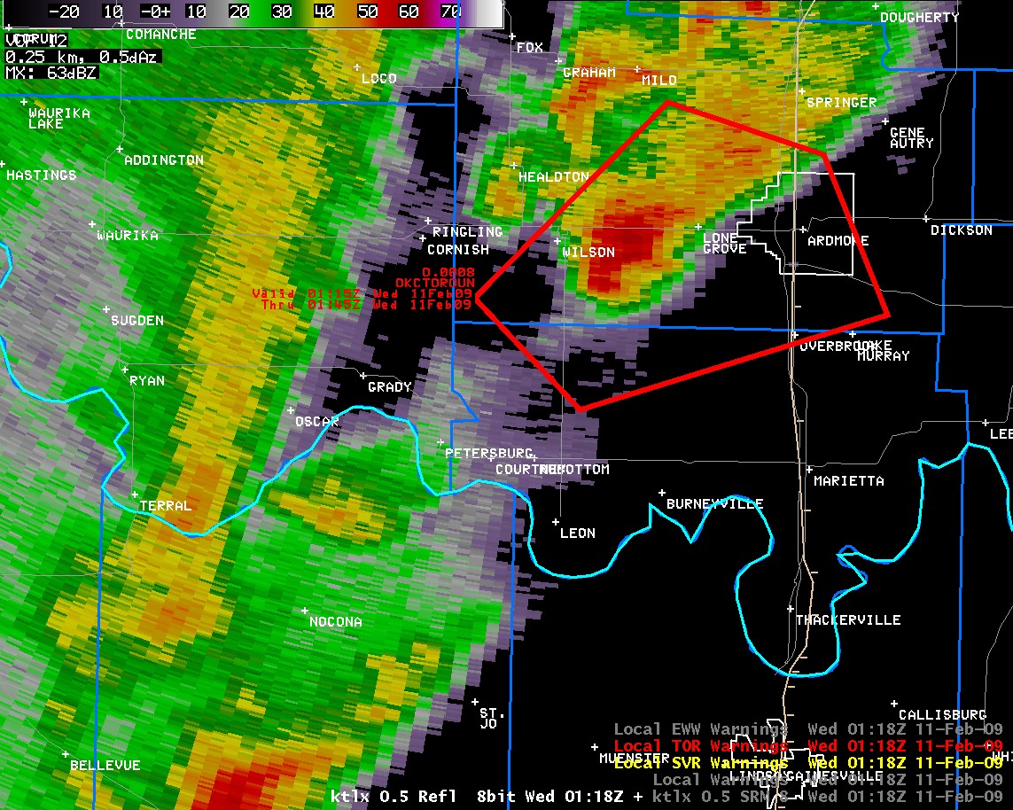 Reflectivity |
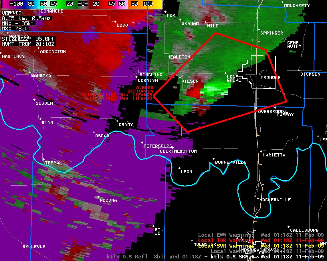 Storm Relative Velocity |
| KFDR Radar Imagery and Warning Polygons at 7:40 pm CST on February 10, 2009 | |
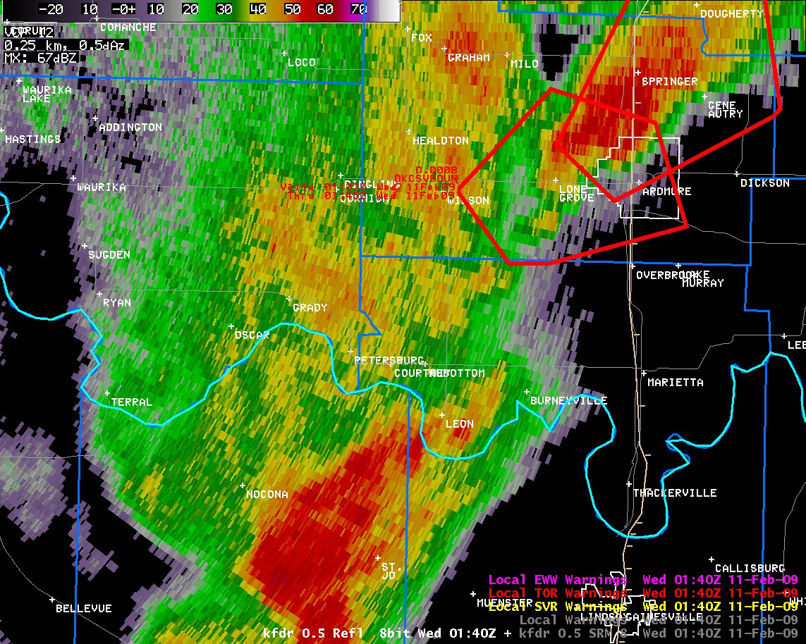 Reflectivity |
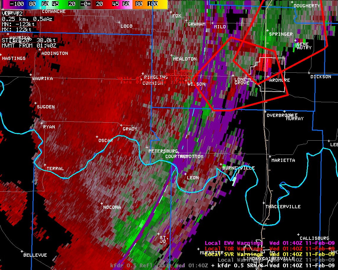 Storm Relative Velocity |
| KTLX Radar Imagery and Warning Polygons at 7:40 pm CST on February 10, 2009 | |
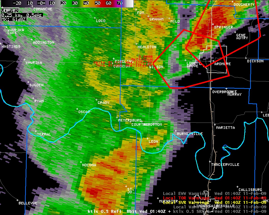 Reflectivity |
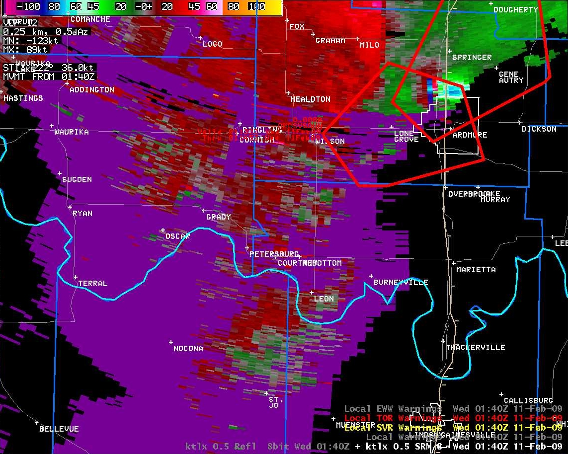 Storm Relative Velocity |
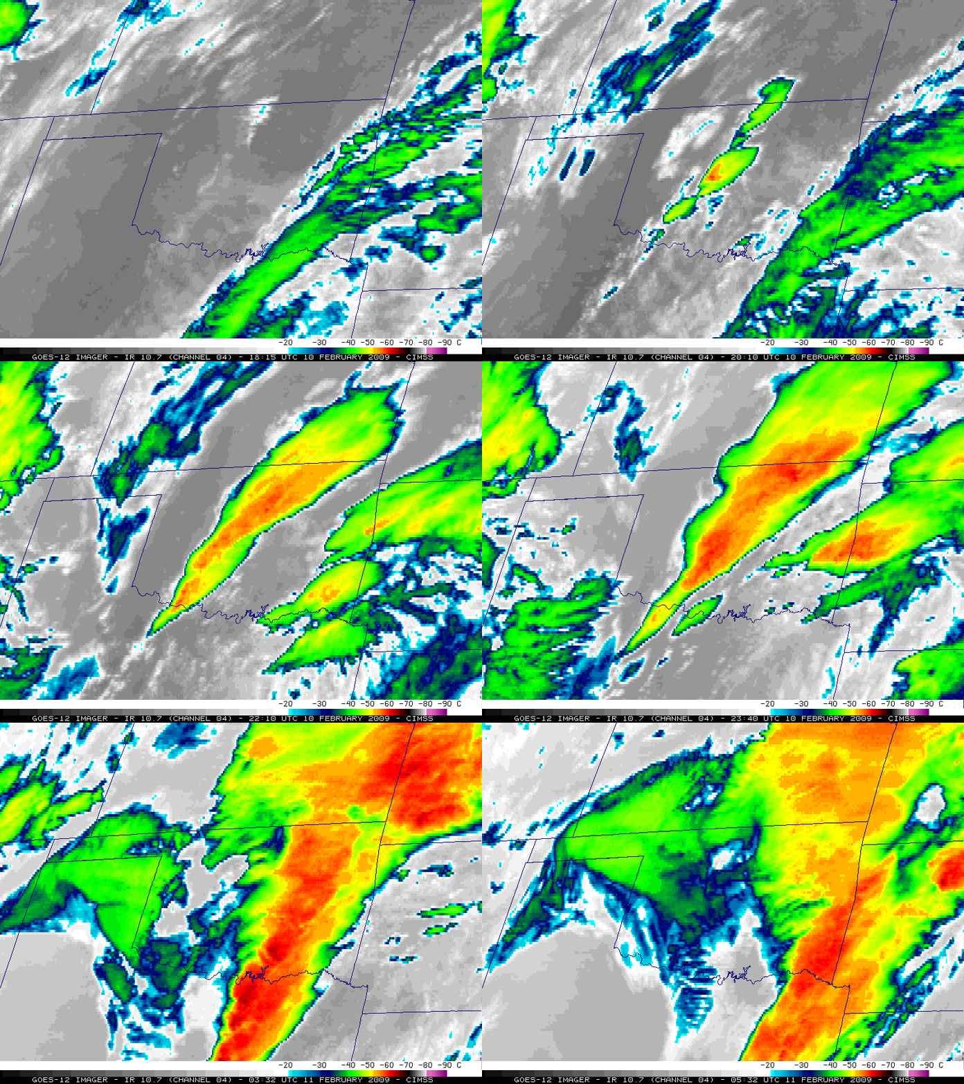
Shown below is a visible satellite loop provided by the Cooperative Institute for Meteorological Satellite Studies (CIMSS) Satellite Blog. The link to the CIMSS Satellite blog for the February 10, 2009 severe weather and tornado event is available here.
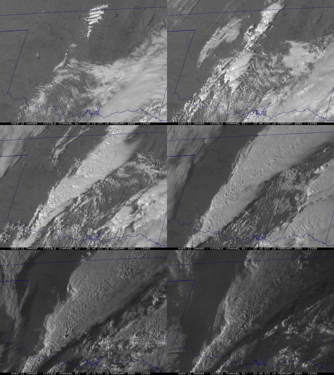
Shown below is a infrared satellite loop provided by the Cooperative Institute for Meteorological Satellite Studies (CIMSS) Satellite Blog. The link to the CIMSS Satellite blog for the February 10, 2009 severe weather and tornado event is available here.
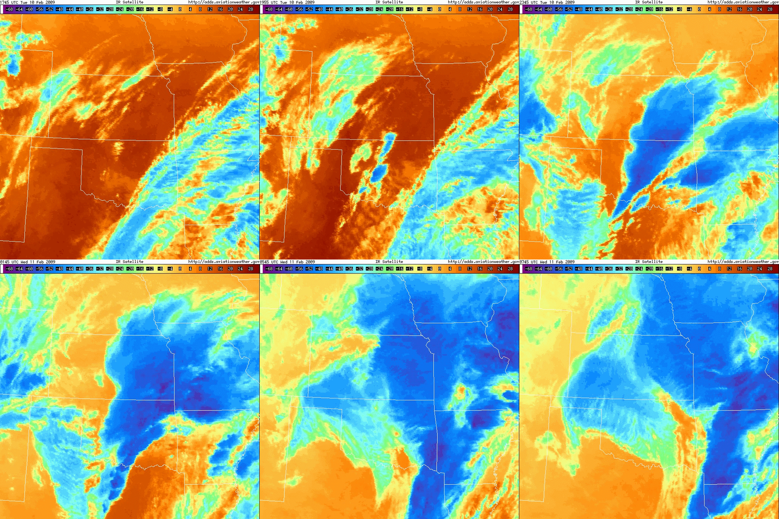
Shown below is a infrared satellite loop provided by the Aviation Weather Center.
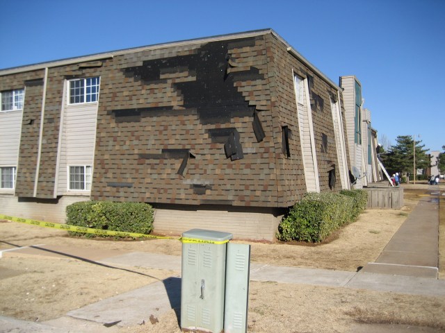
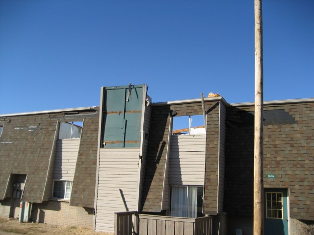
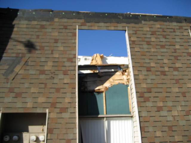
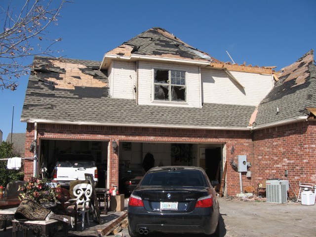
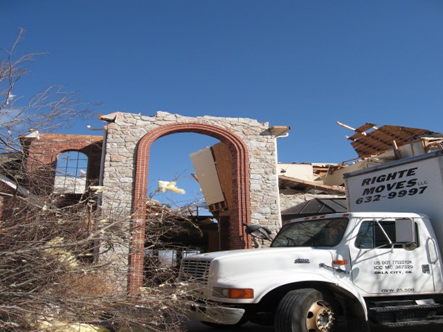
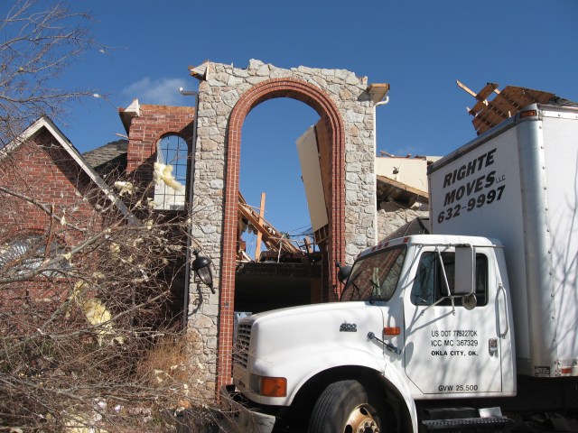
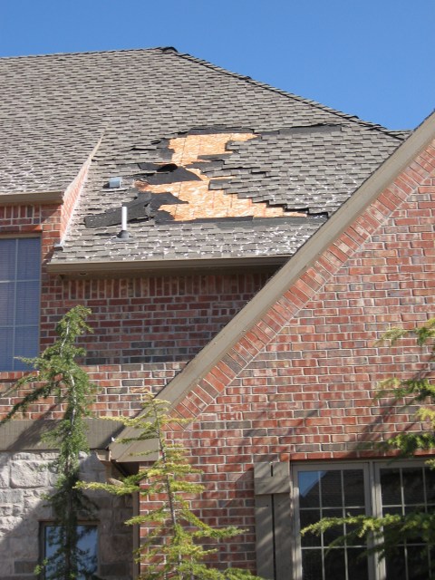
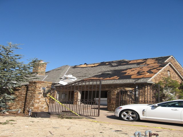
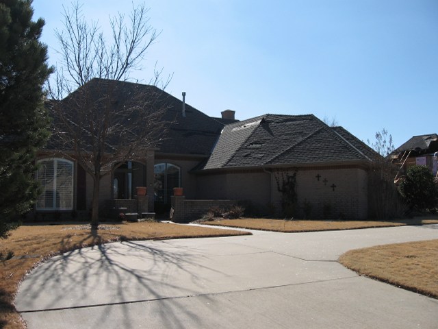
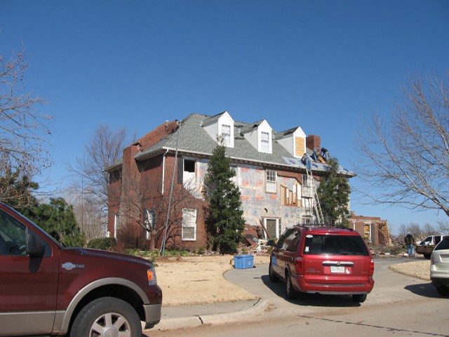
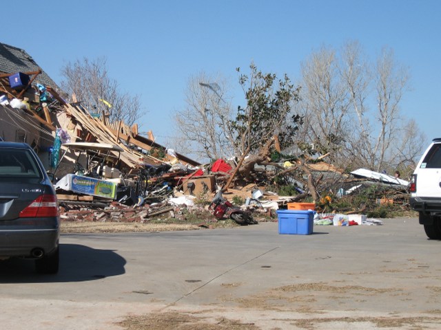
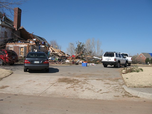
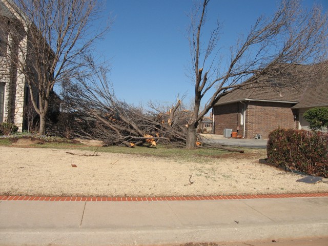
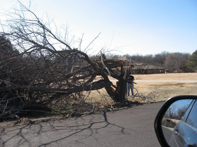
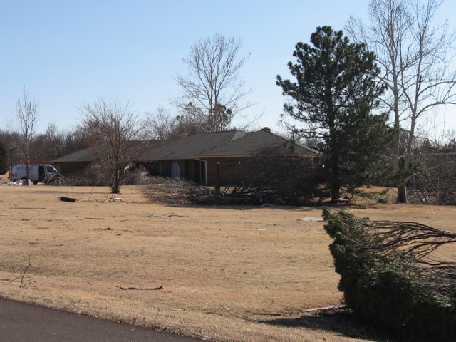
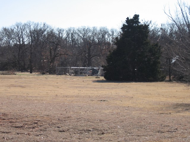
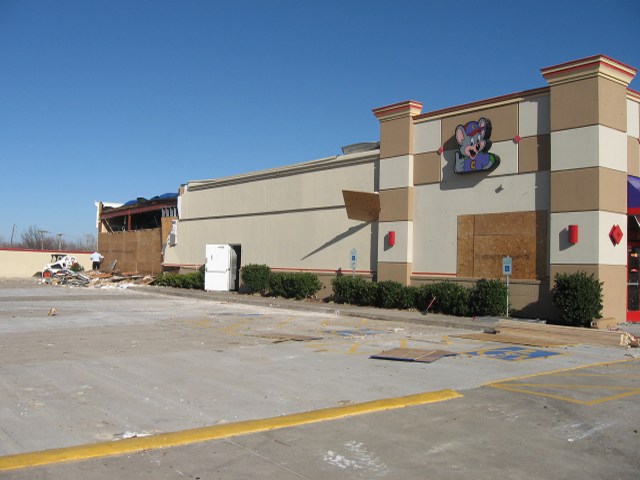
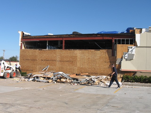
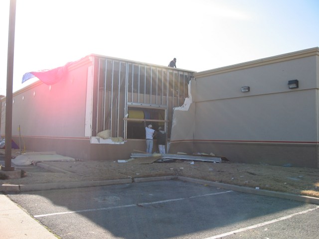
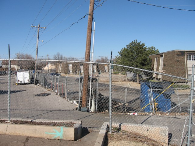
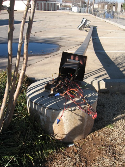
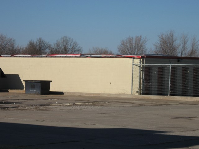
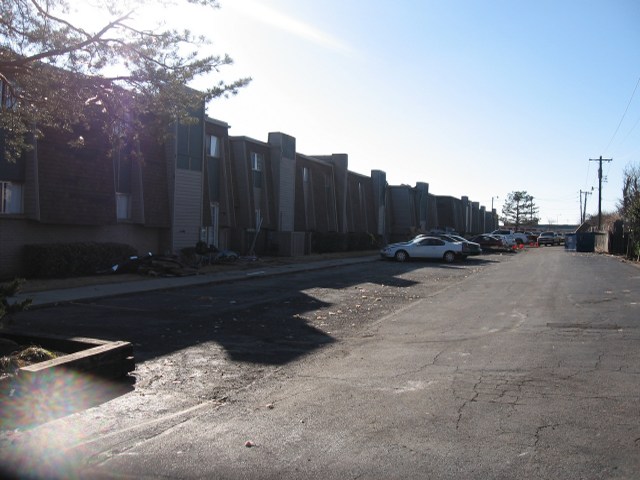
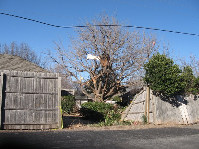
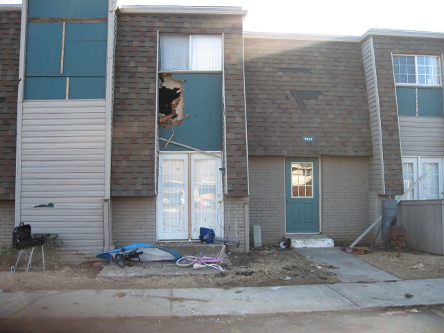
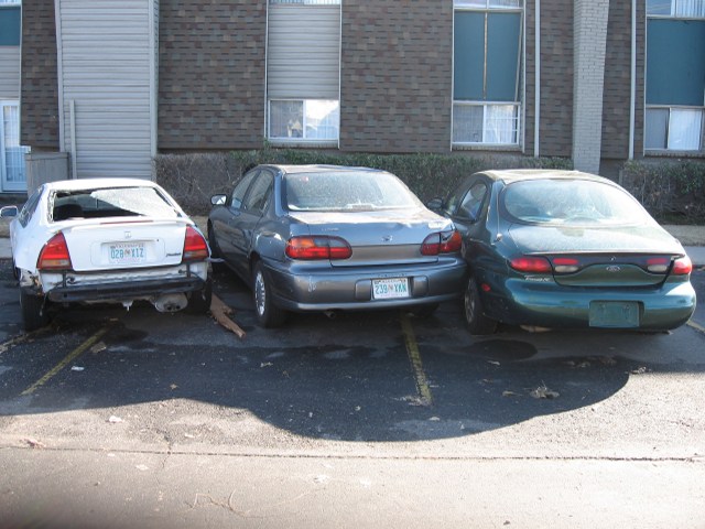
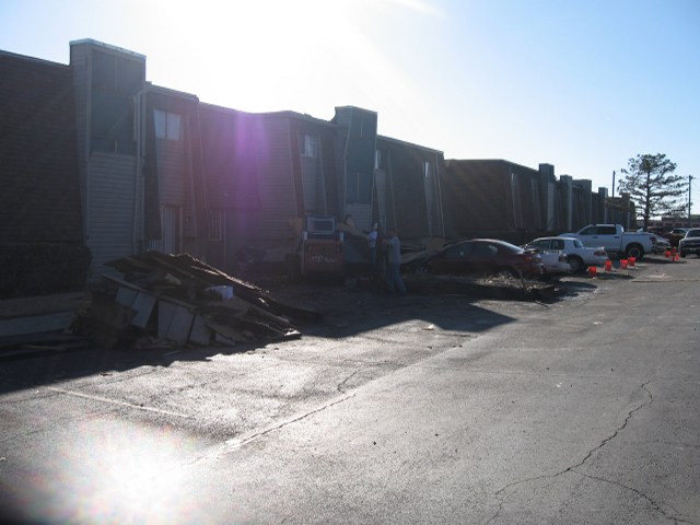
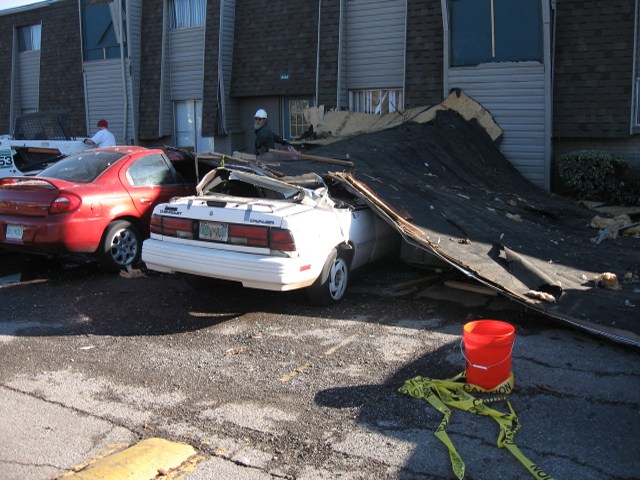
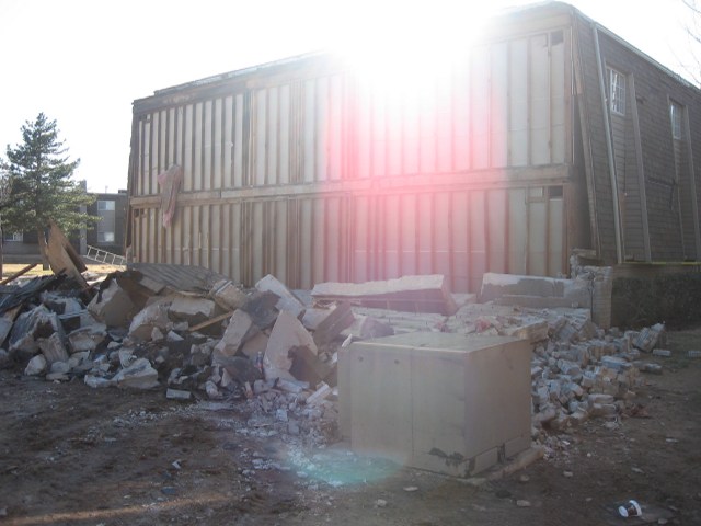
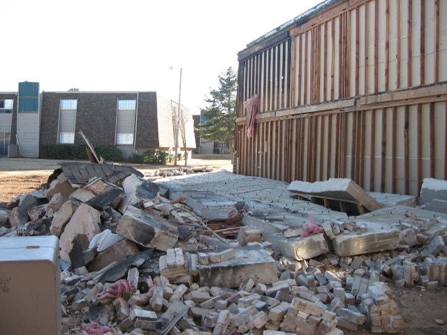
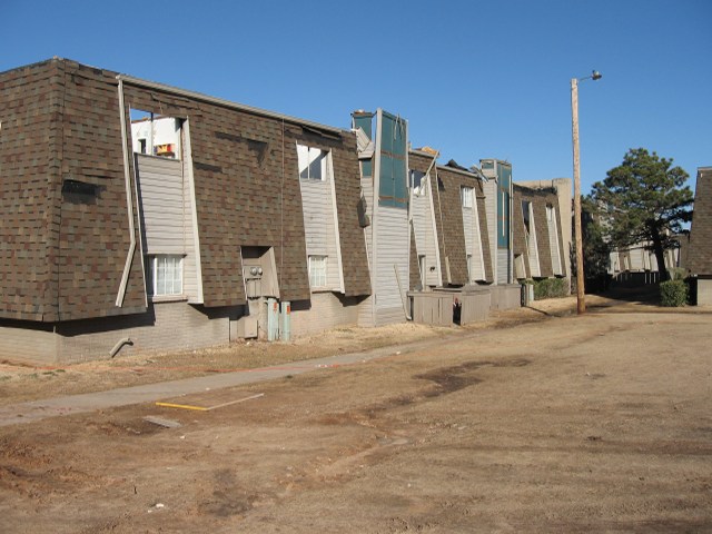
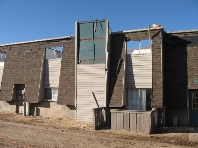
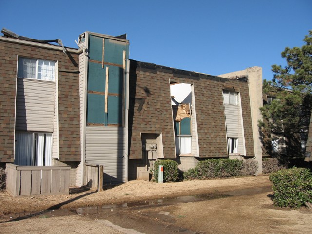
Below are links to damage photos from storm damage surveys conducted by NWS and NOAA officials on February 11, 2009.
| Lone Grove, OK | |
|---|---|
 Mike Foster, NWS Norman |
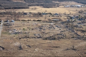 Jim Spicer, Underwood Aerial Patrols, Inc. |
| Central Oklahoma | |
 Kristin Kuhlman, NSSL/CIMMS |
 Kiel Ortega, NSSL/CIMMS |
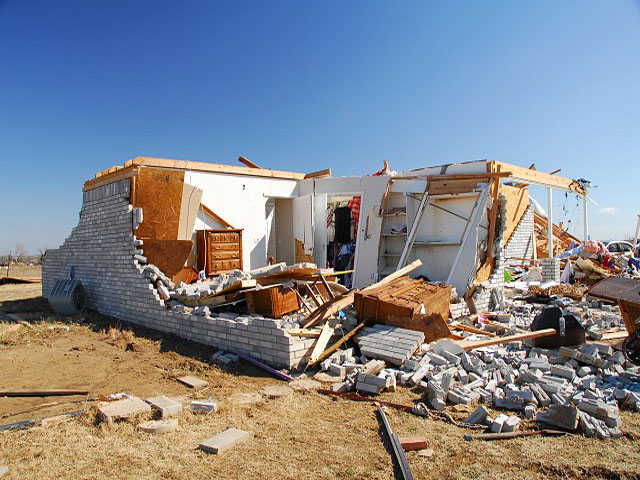
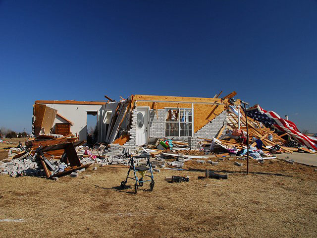
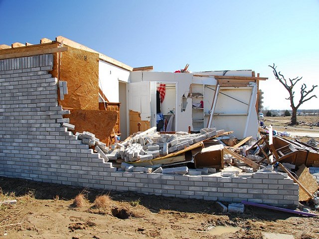
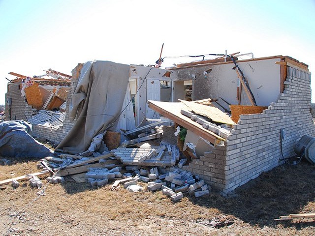
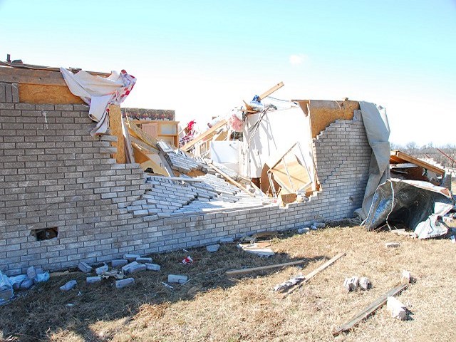
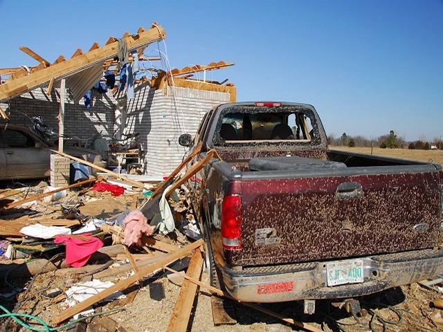
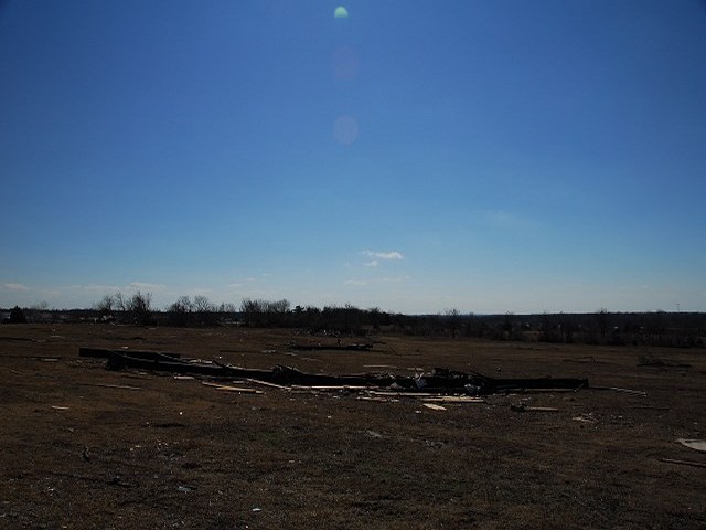
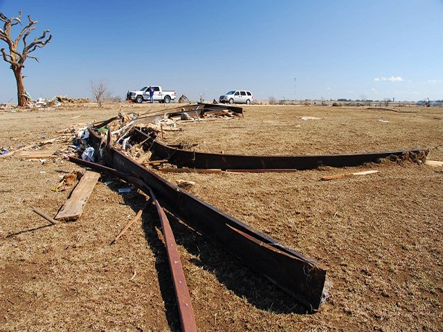
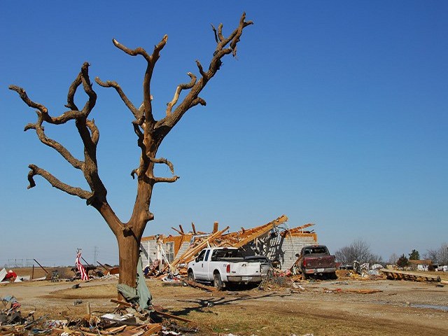
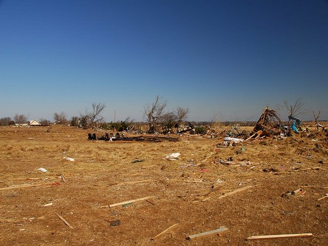
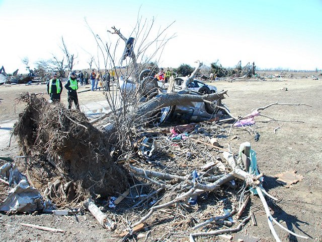
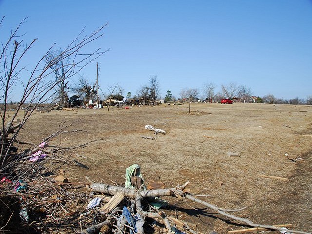
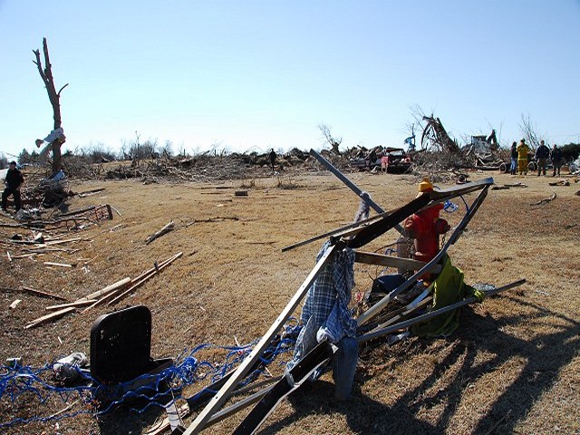
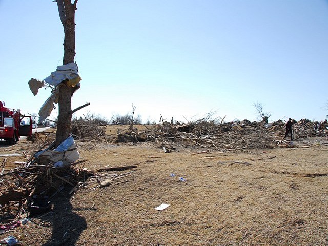
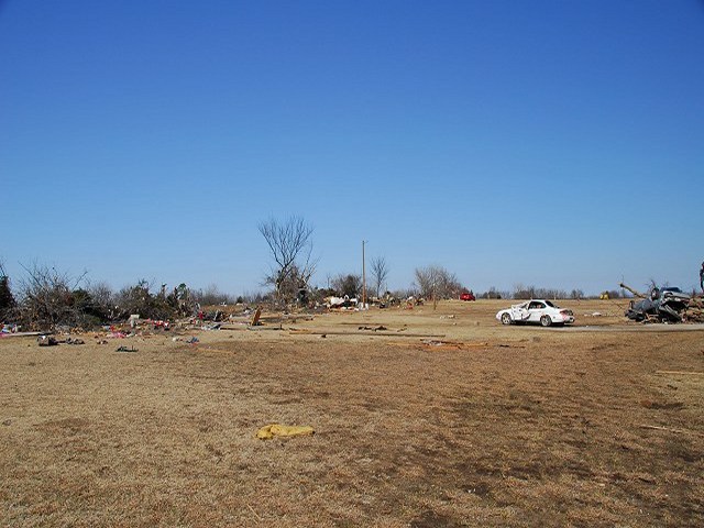
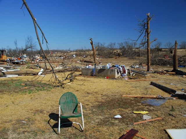
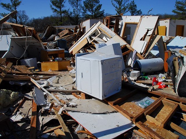
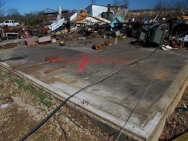
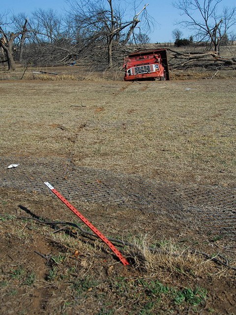
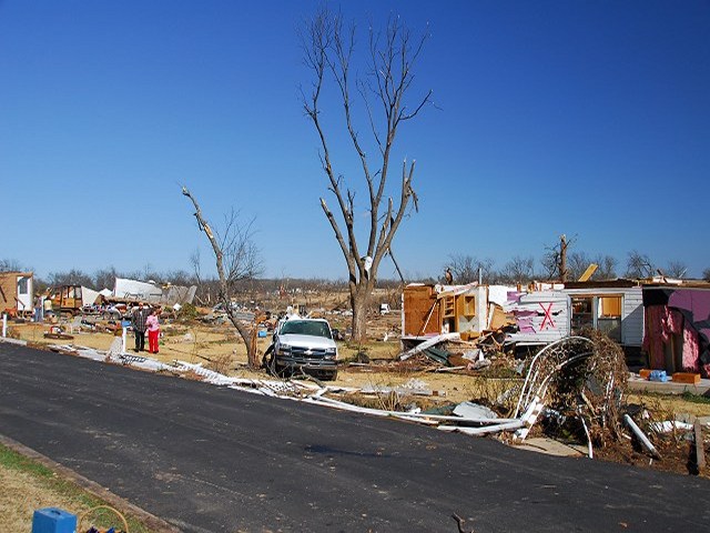
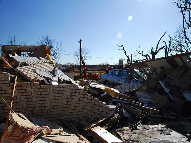
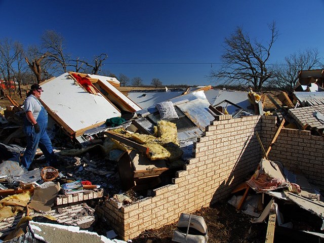
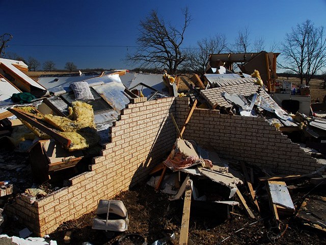
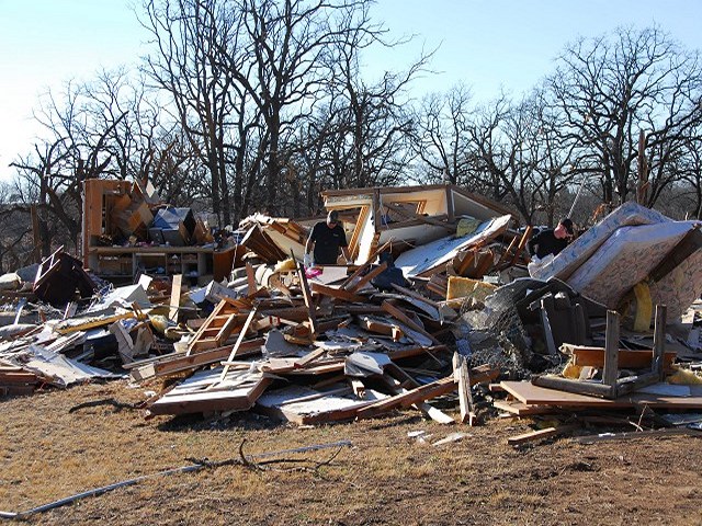
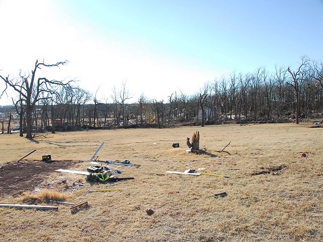
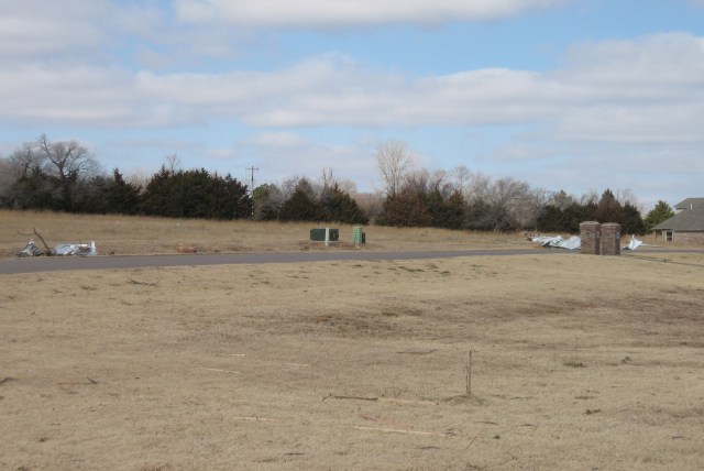
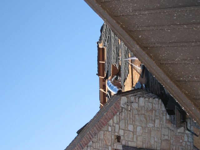
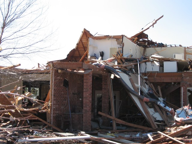
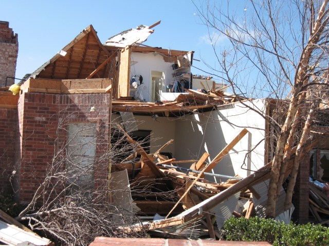
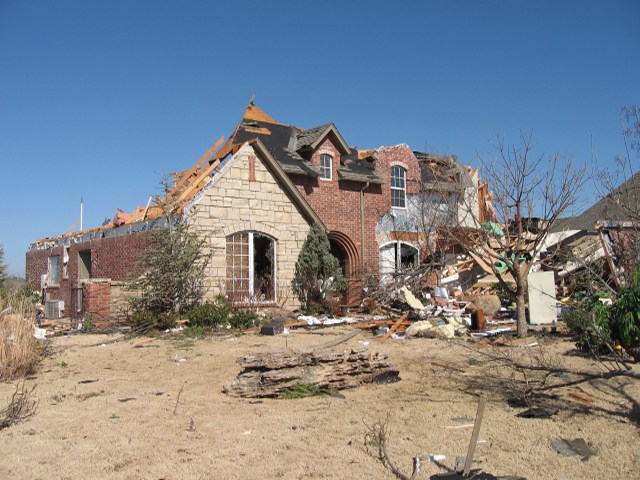
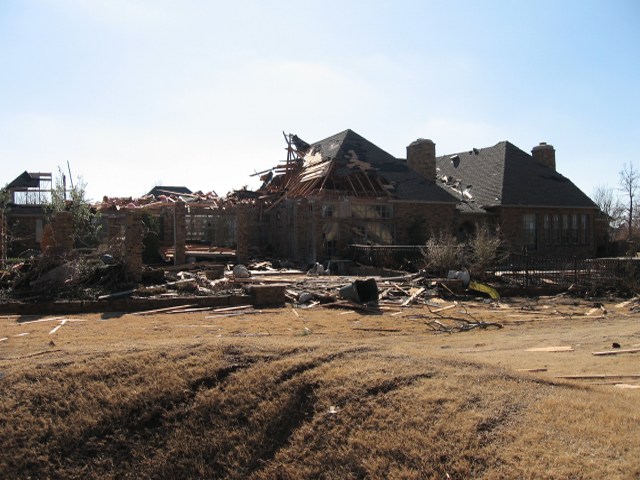
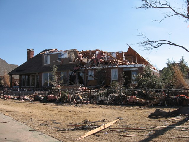
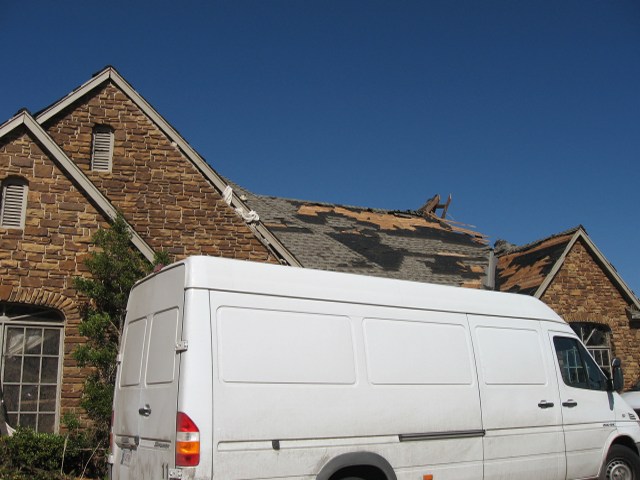
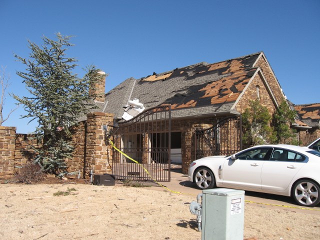
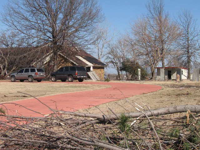
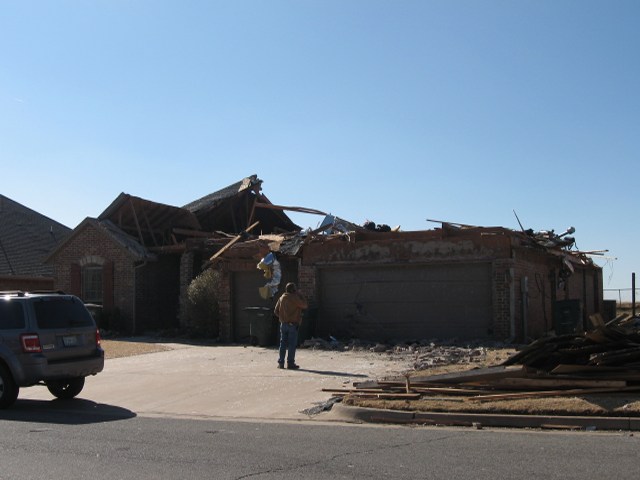
Below are damage photos taken by Meteorologist in Charge (MIC) Mike Foster on February 11, 2009. Mike and Warning Coordination Meteorologist (WCM) Rick Smith conducted a storm damage survey of the Lone Grove area including areas where EF-4 damage occurred.
 |
 |
 |
 |
 |
 |
 |
 |
 |
 |
 |
 |
 |
 |
 |
 |
 |
 |
 |
 |
 |
 |
 |
 |
 |
 |
 |
 |
 |
 |
 |
 |
 |
 |
 |
 |
 |
 |
 |
 |
 |
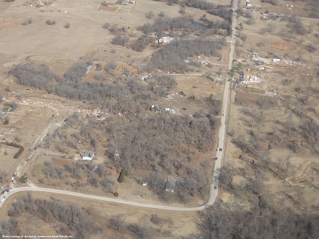
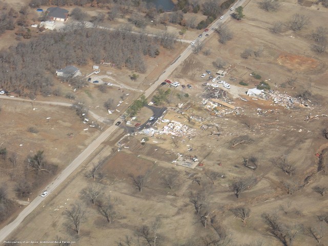
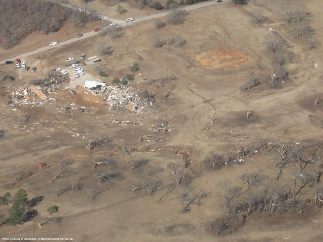
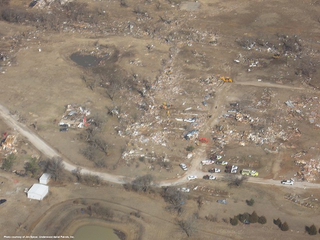
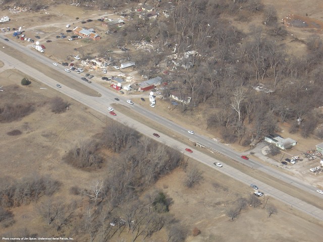
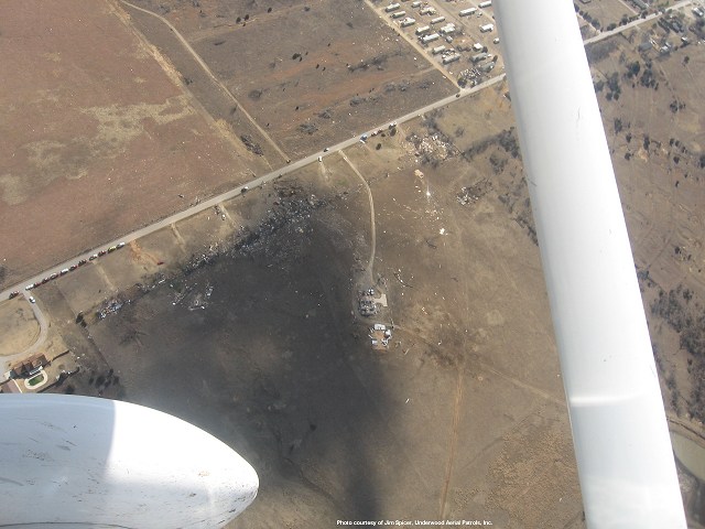
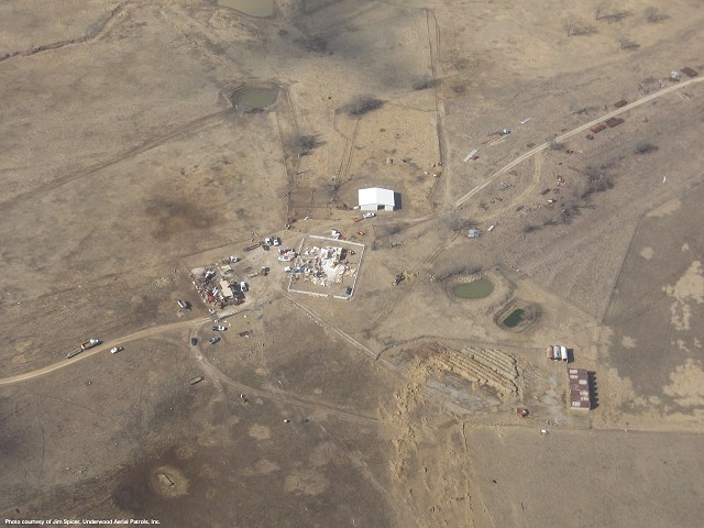
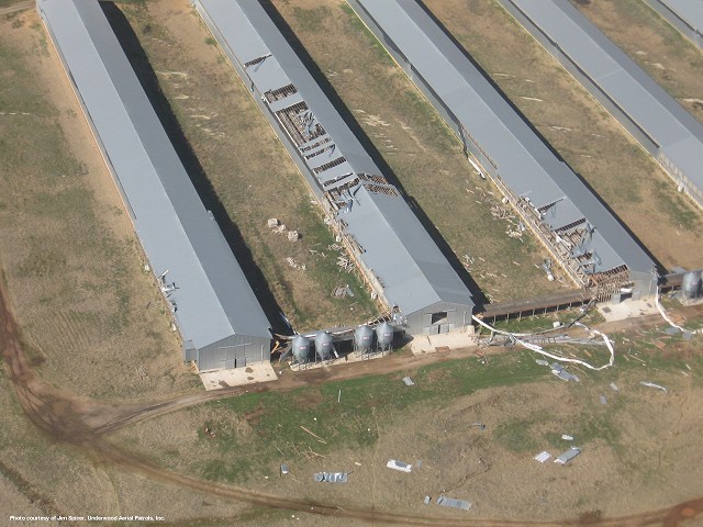
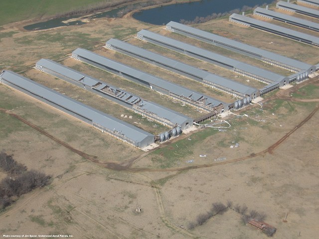
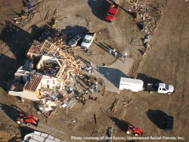
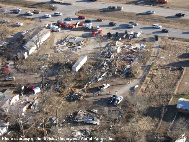
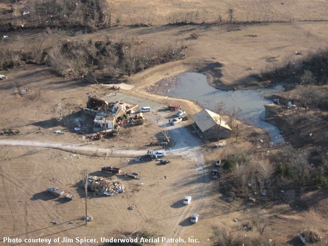
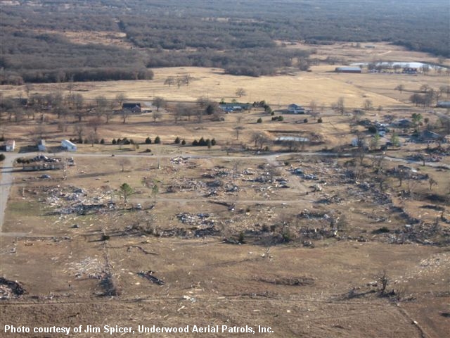
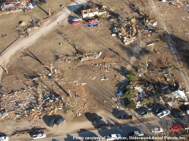
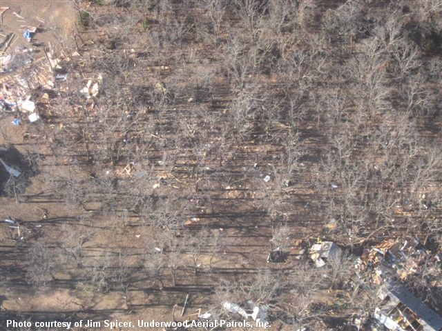
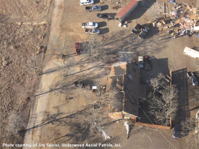
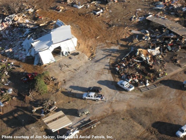
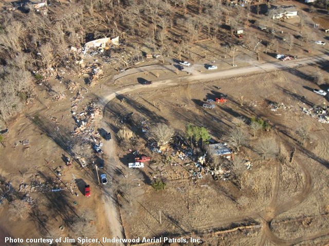
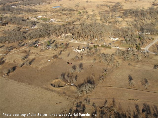
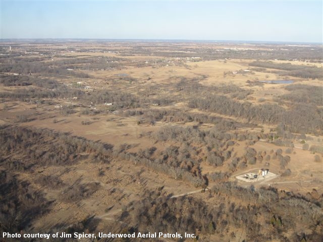
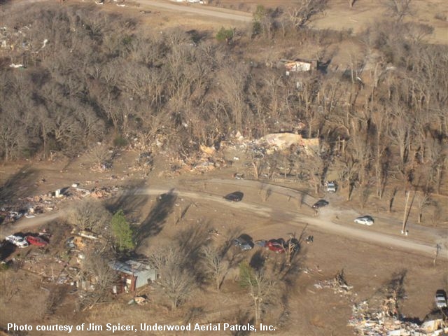
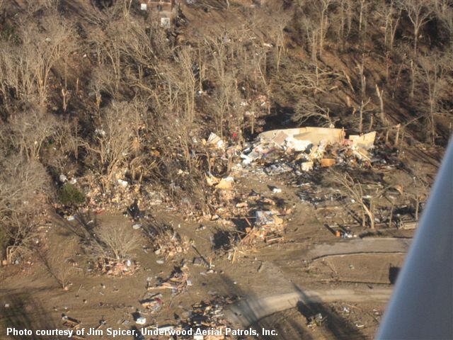
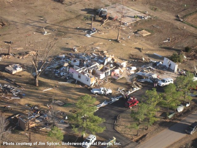
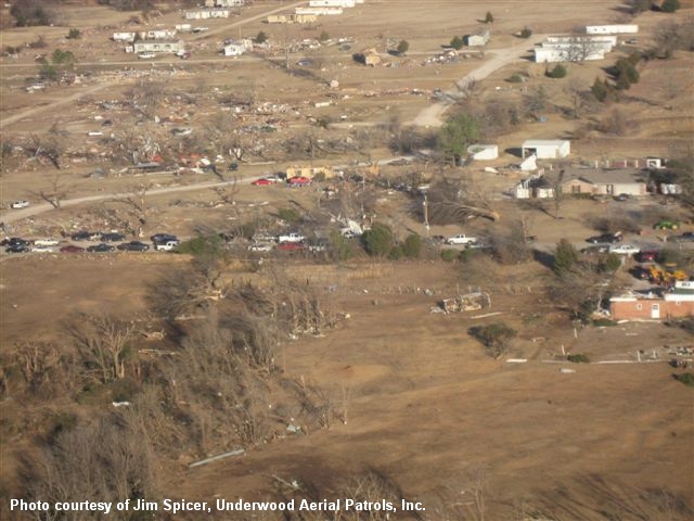
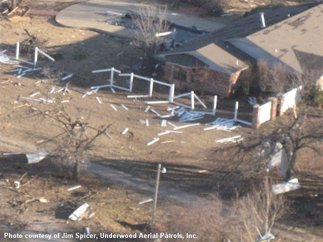
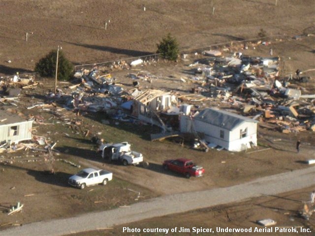
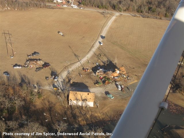
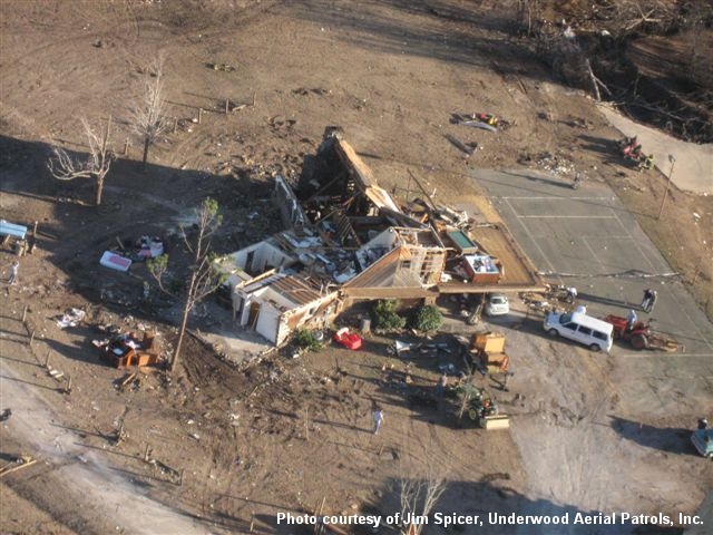
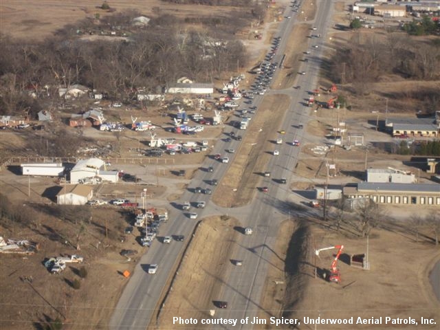
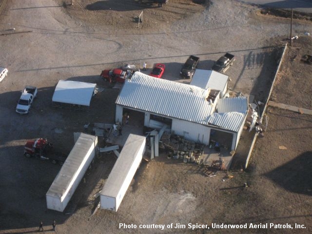
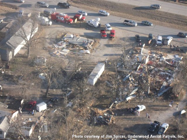
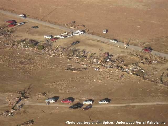
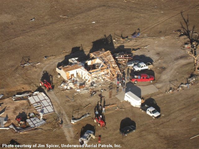
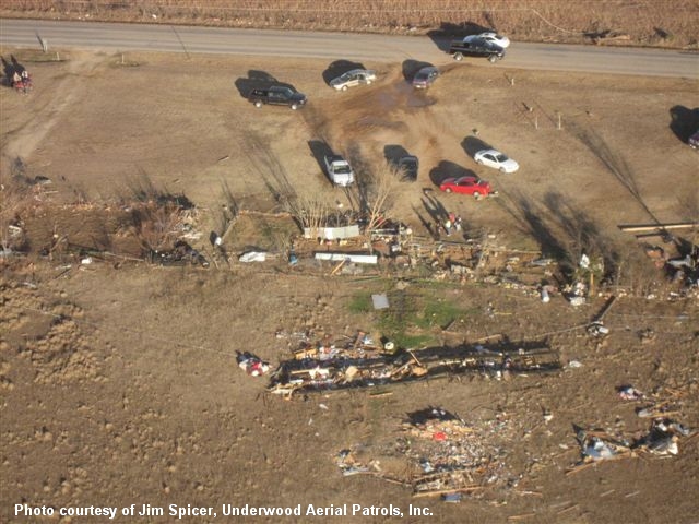
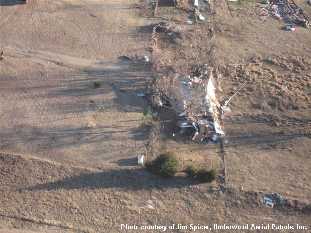
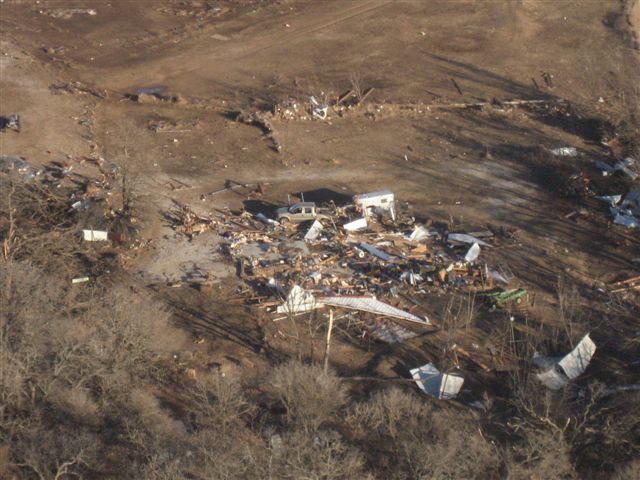
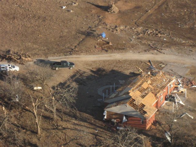
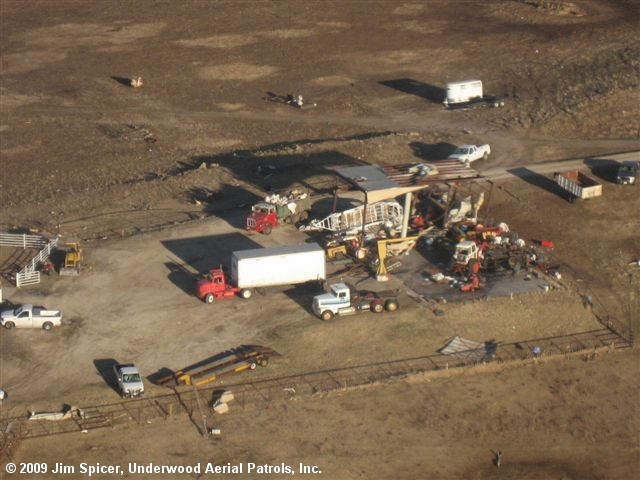
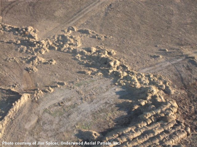
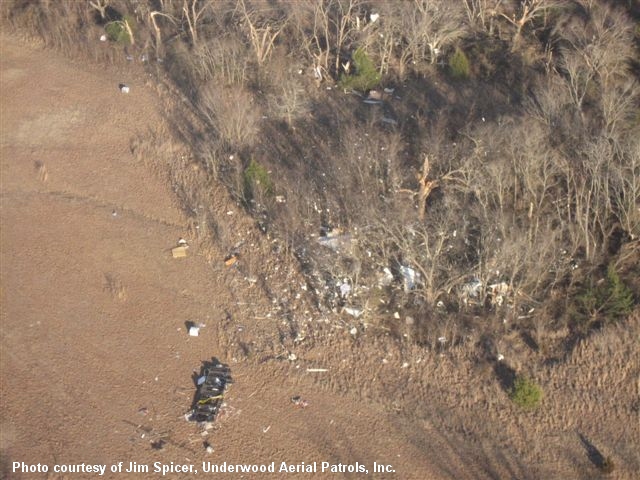
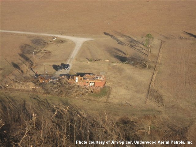
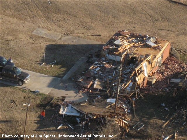
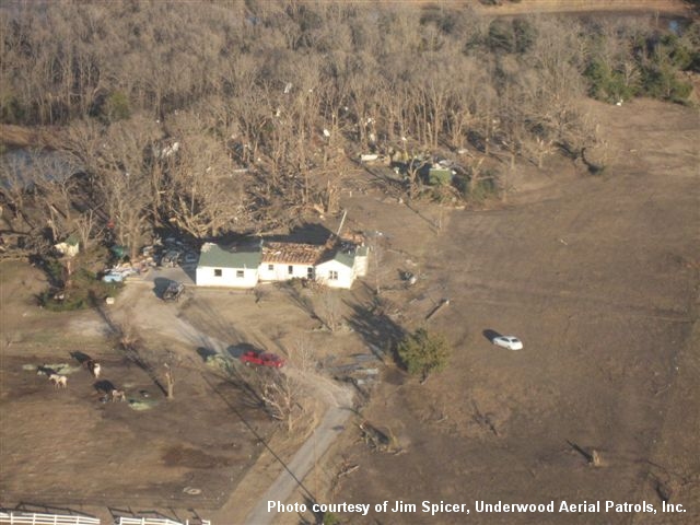
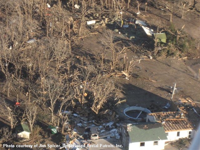
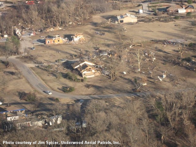
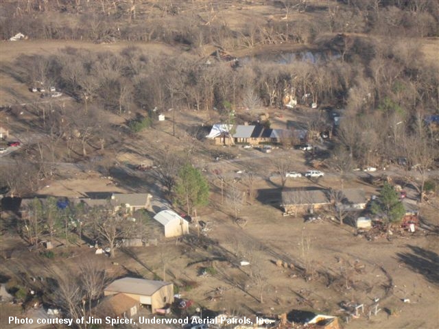
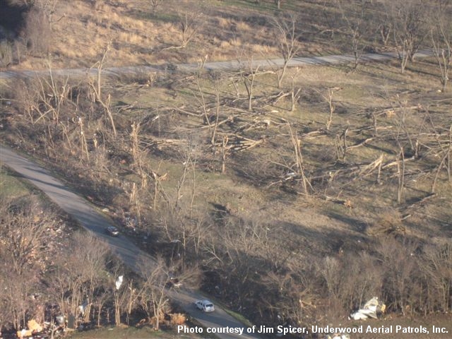
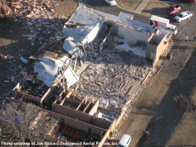
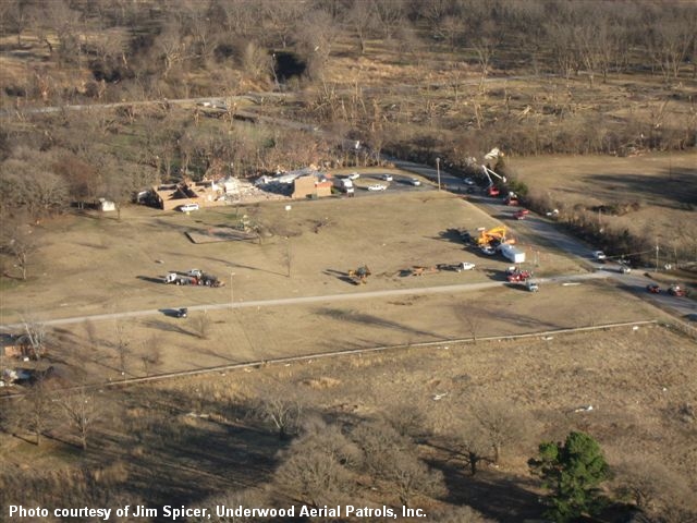
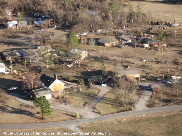
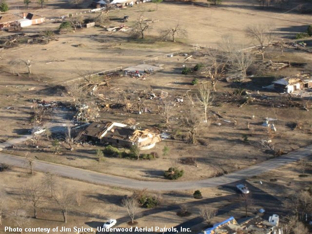
Below are damage photos taken by Jim Spicer of Underwood Aerial Patrols, Inc. on February 11, 2009. Jim overflew the damage path of the EF-4 tornado in the Lone Grove, OK area.
 |
 |
 |
 |
 |
 |
 |
 |
 |
 |
 |
 |
 |
 |
 |
 |
 |
 |
 |
 |
 |
 |
 |
 |
 |
 |
 |
 |
 |
 |
 |
 |
 |
 |
 |
 |
 |
 |
 |
 |
 |
 |
 |
 |
 |
 |
 |
 |
 |
 |
 |
 |
 |
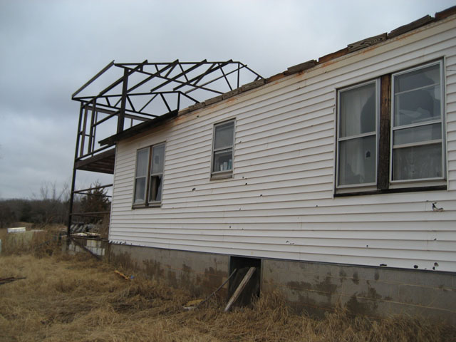
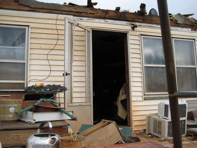
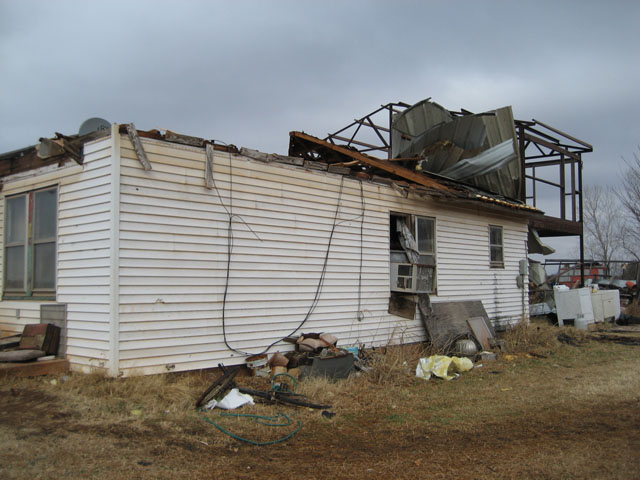
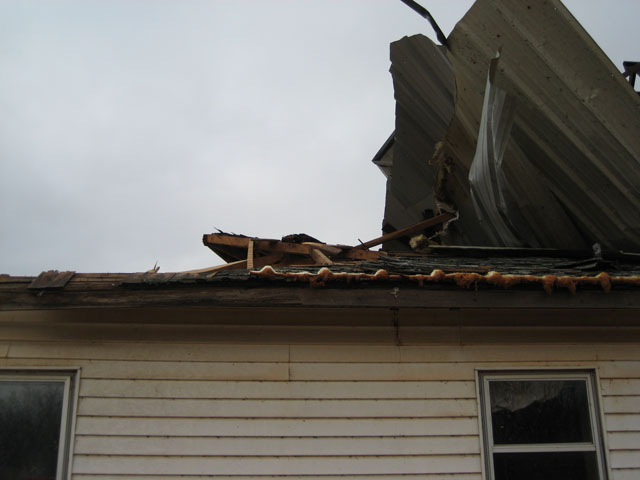
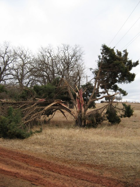
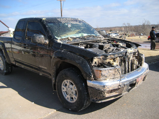
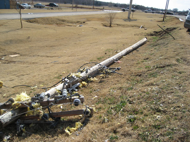
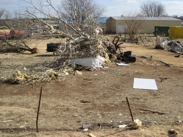
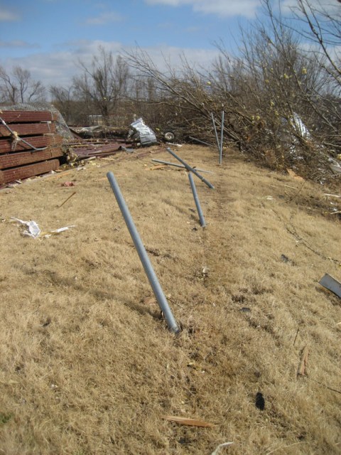
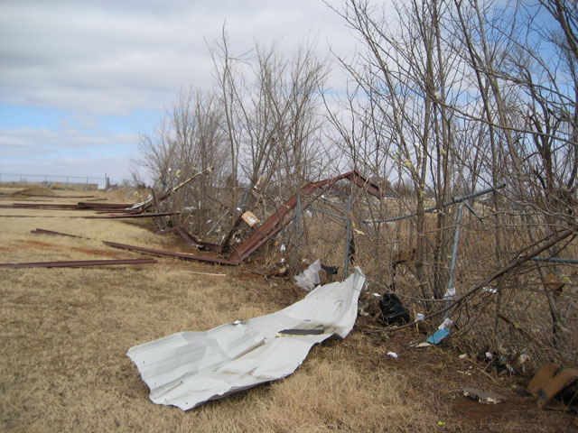
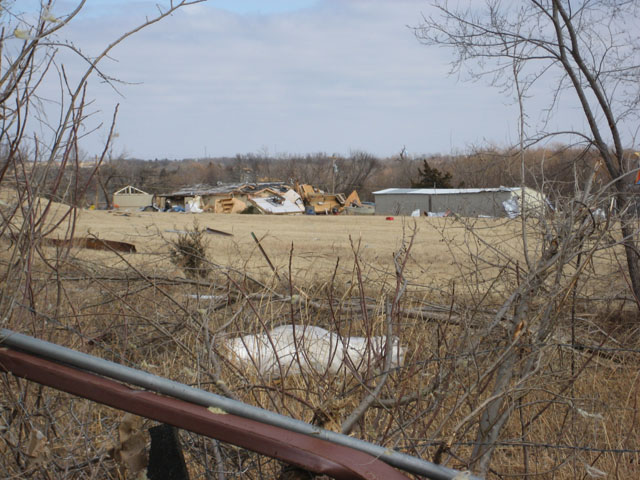
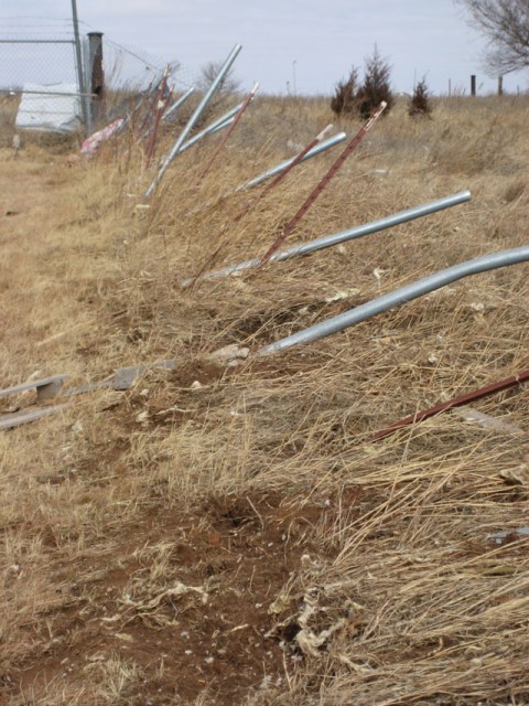
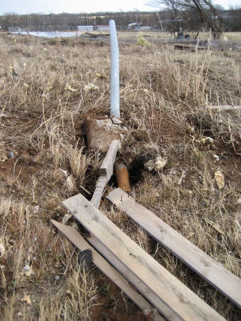
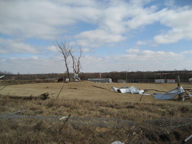
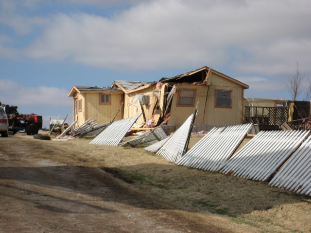
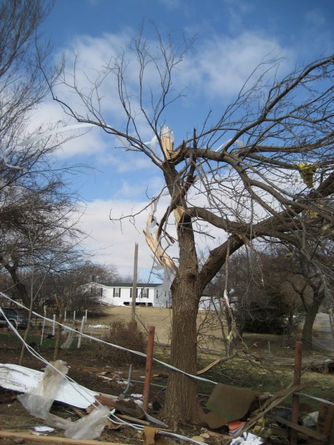
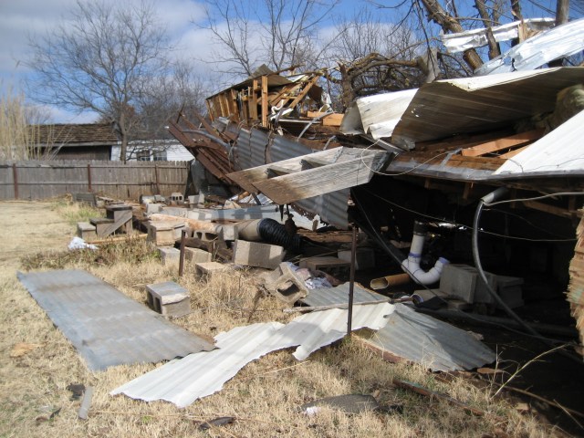
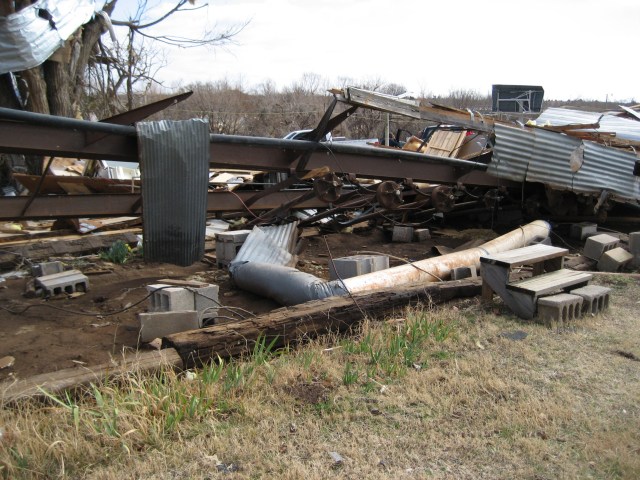
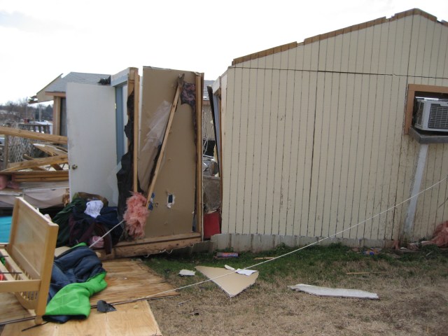
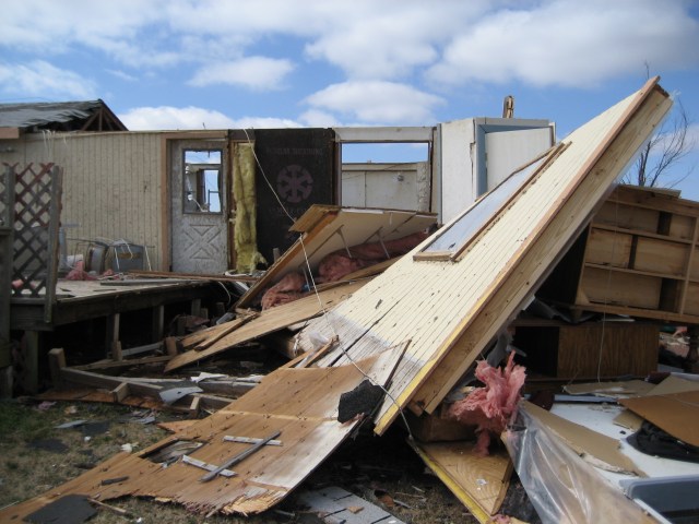
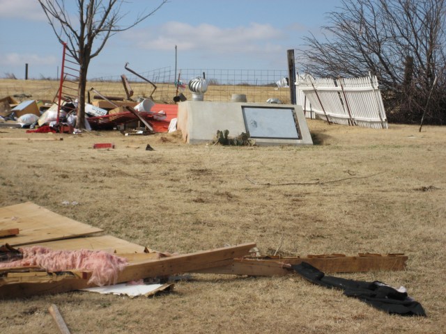
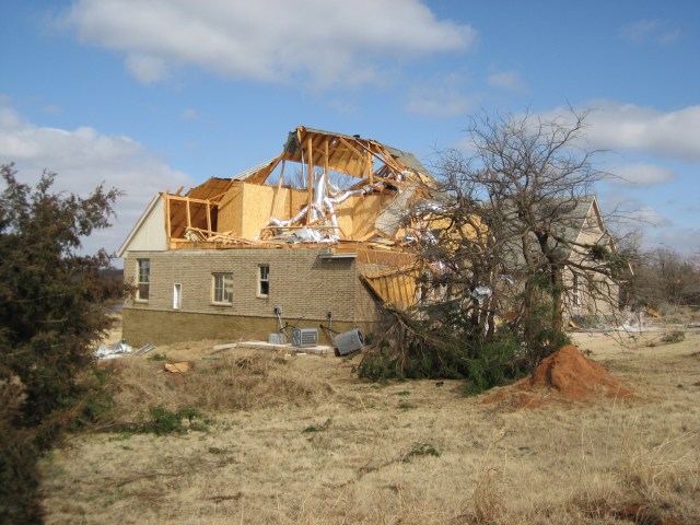
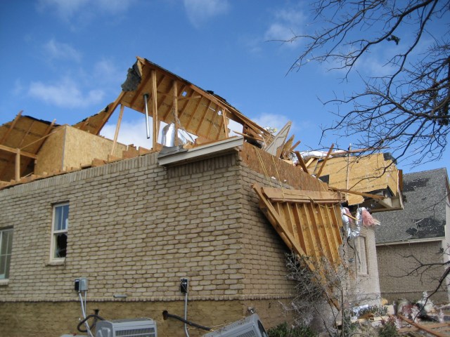
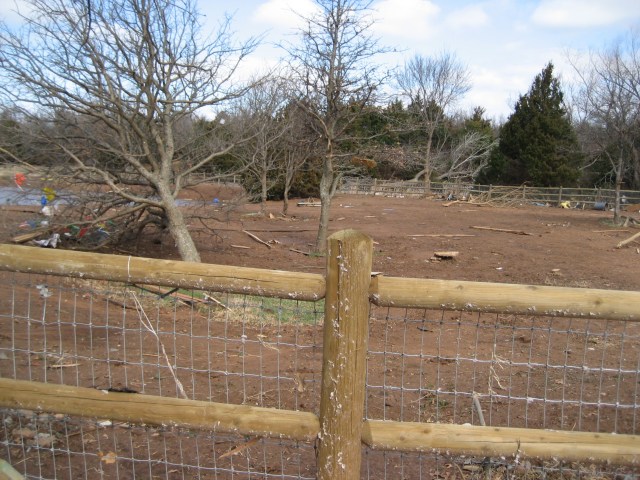
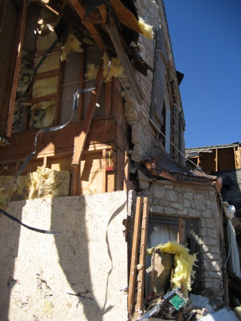
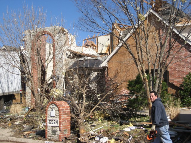
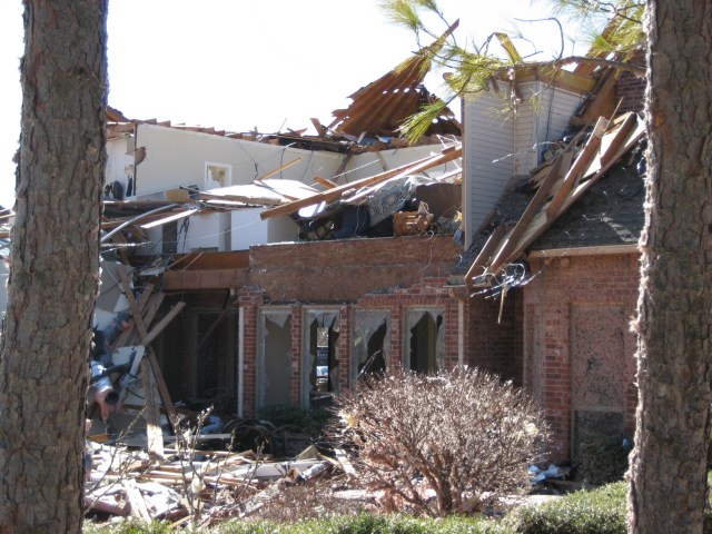
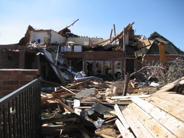
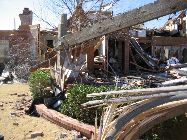
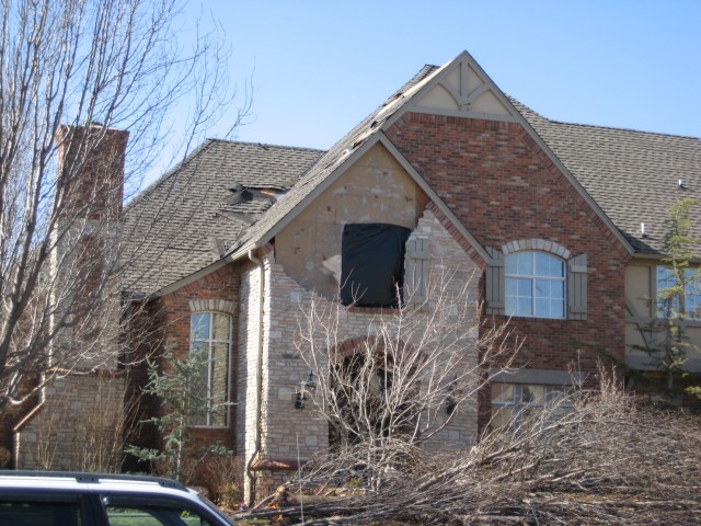
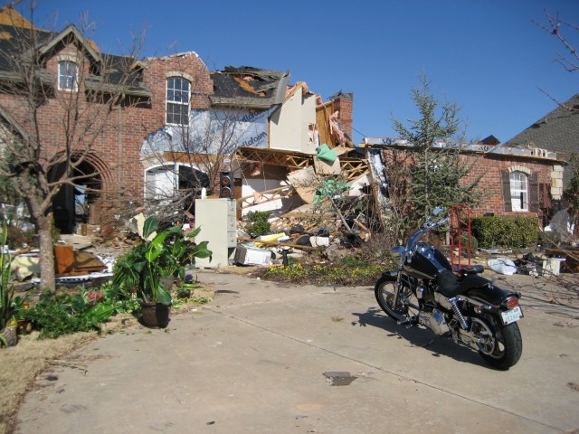
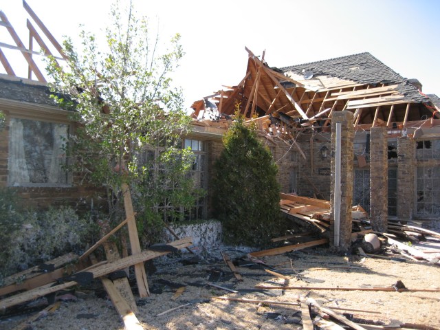
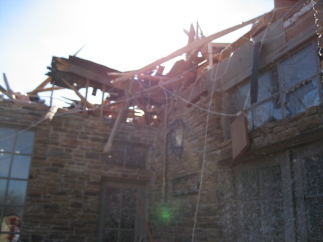
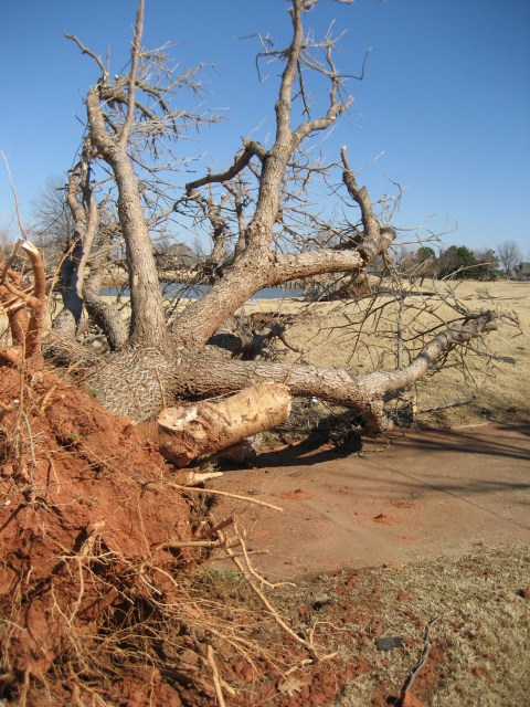
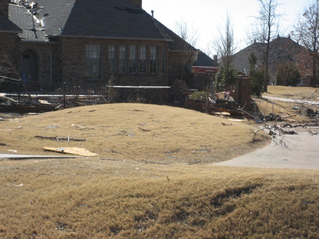
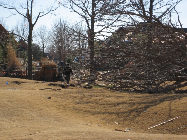
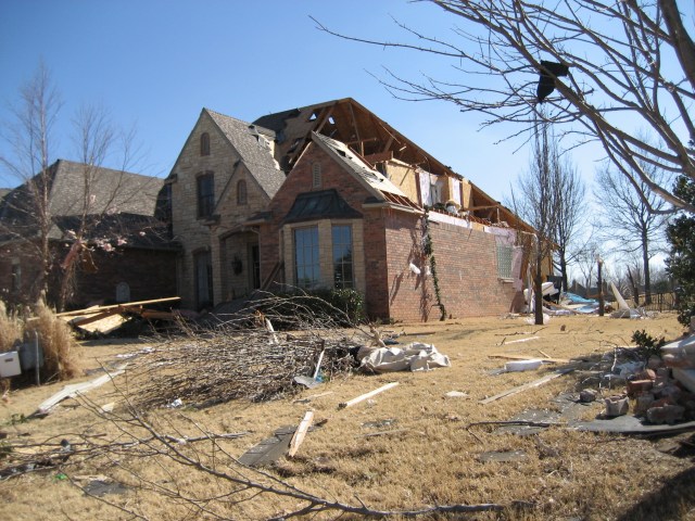
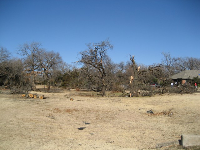
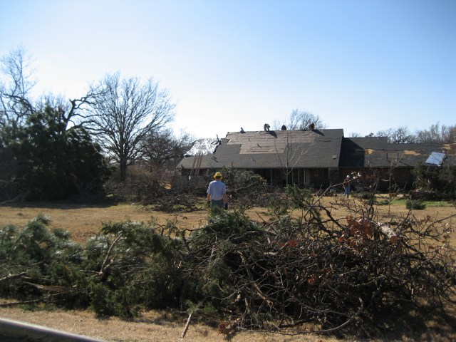
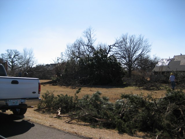
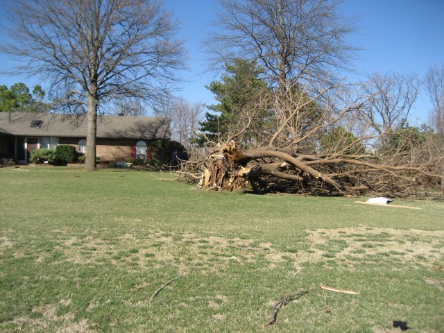
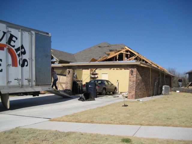
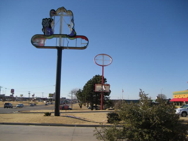
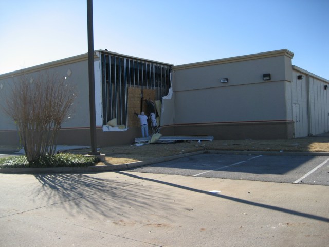
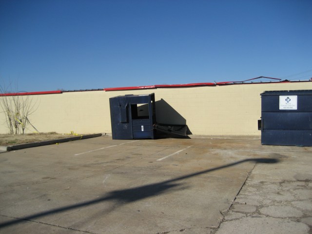
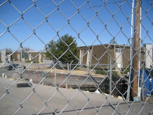
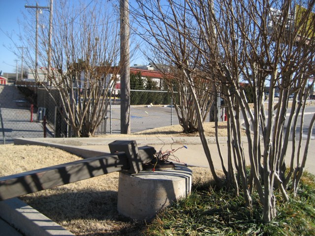
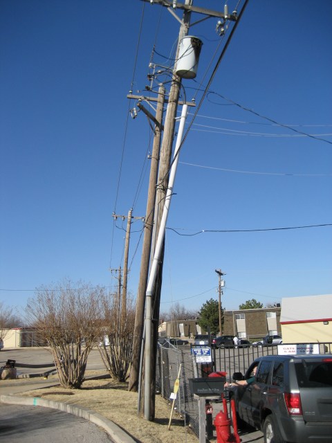
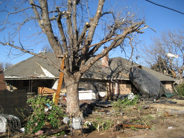
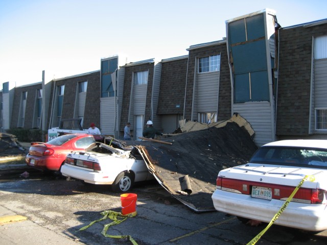
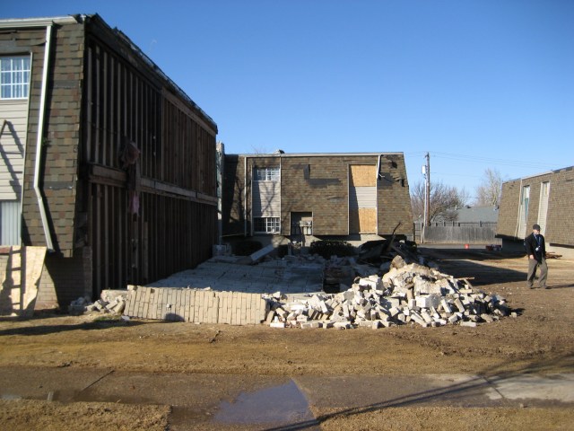
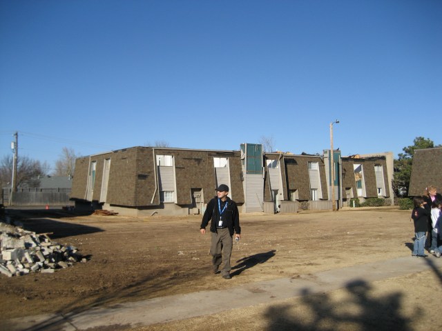
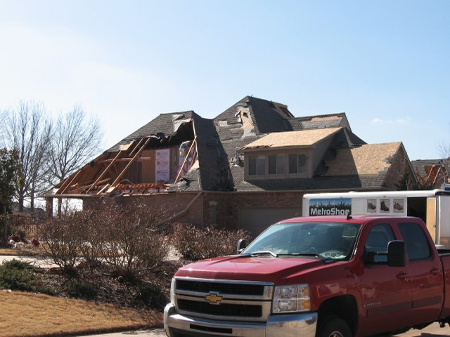
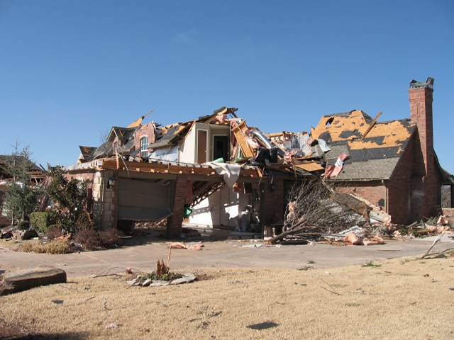
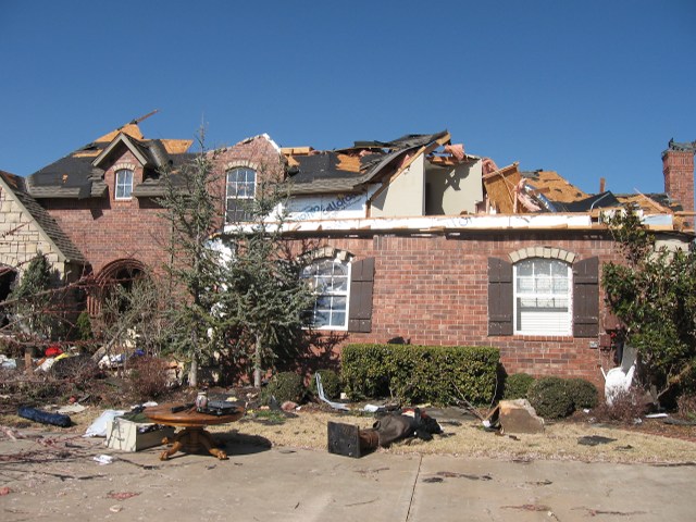
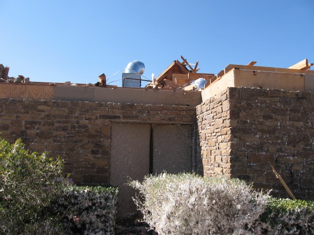
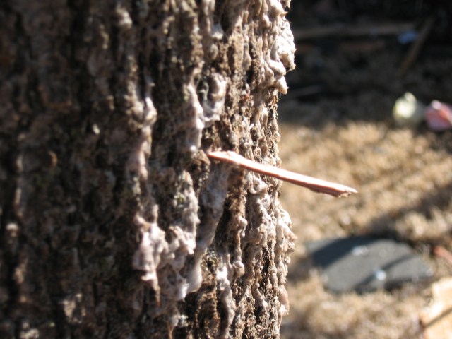
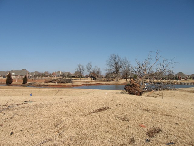
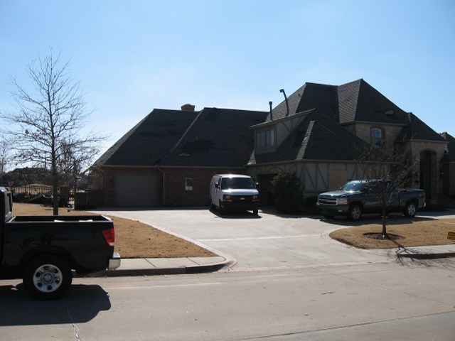
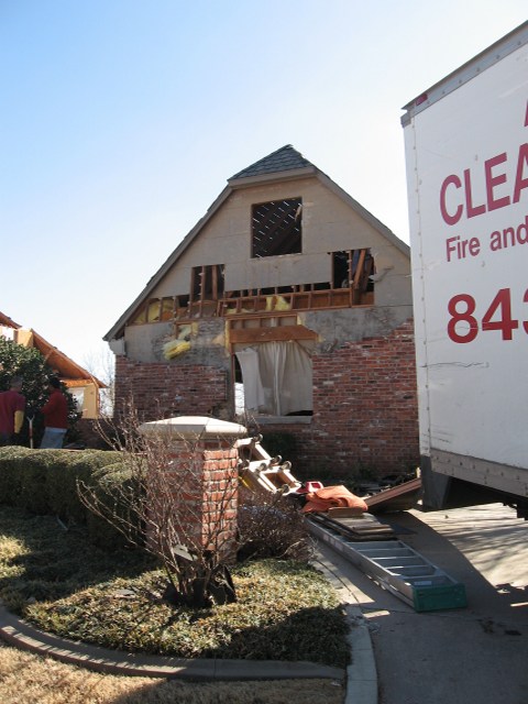
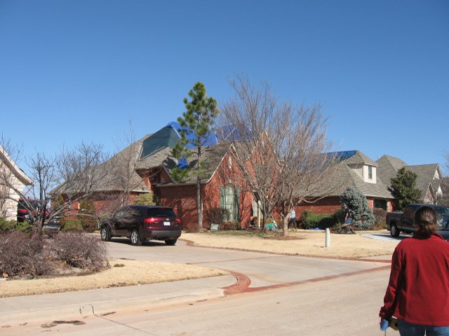
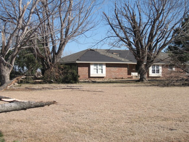
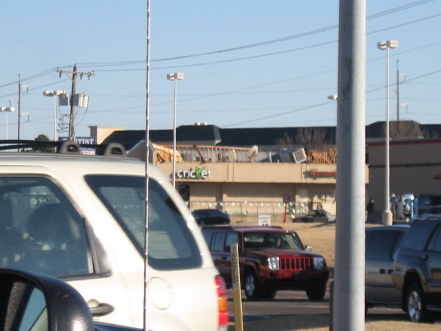
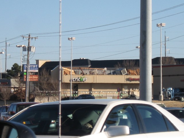
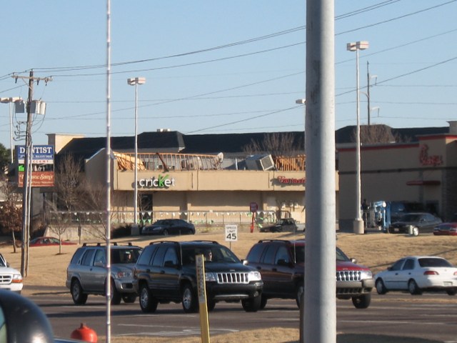
Below are damage photos taken by research scientist Kristin Kuhlman (NSSL/CIMMS) on February 11, 2009. A survey team comprised of Kiel, research scientist Kiel Ortega (NSSL/CIMMS), and NWS Norman lead forecaster Mike Branick surveyed storm damage in central Oklahoma.
 |
 |
 |
 |
 |
 |
 |
 |
 |
 |
 |
 |
 |
 |
 |
 |
 |
 |
 |
 |
 |
 |
 |
 |
 |
 |
 |
 |
 |
 |
 |
 |
 |
 |
 |
 |
 |
 |
 |
 |
 |
 |
 |
 |
 |
 |
 |
 |
 |
 |
 |
 |
 |
 |
 |
 |
 |
 |
 |
 |
 |
 |
 |
 |
 |
 |
 |
 |
 |
 |
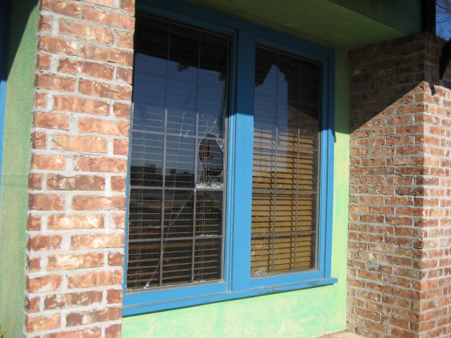 |
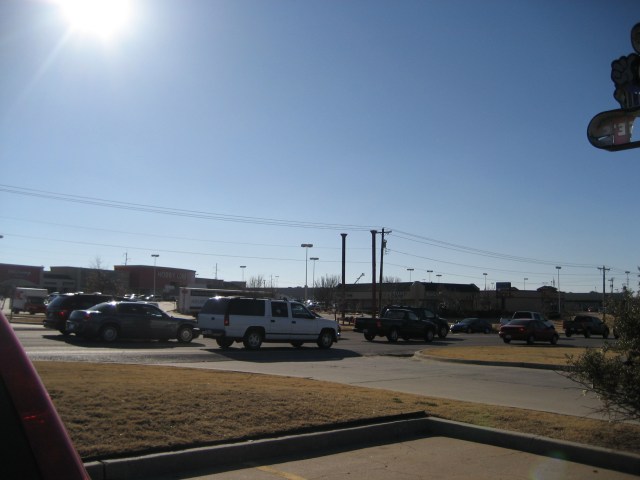 |
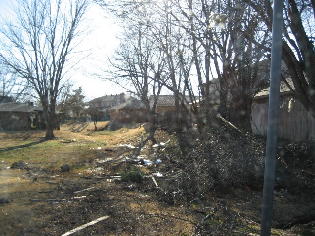 |
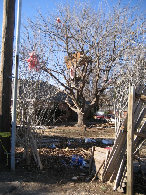 |
 |
 |
 |
 |
 |
 |
 |
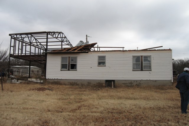
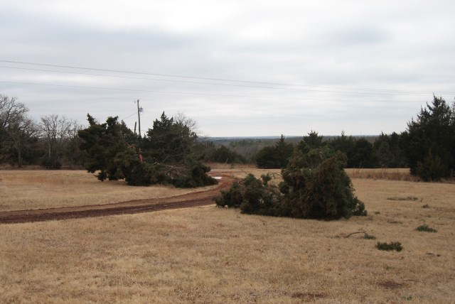
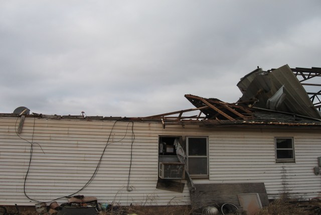
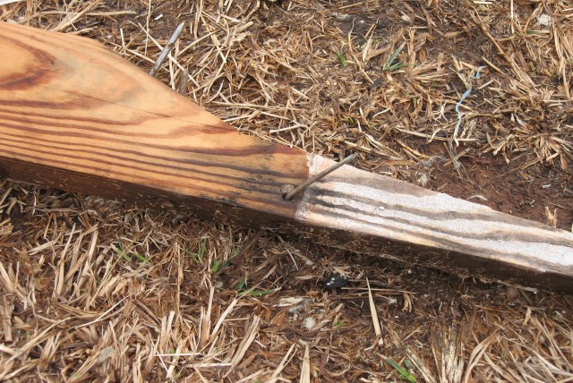
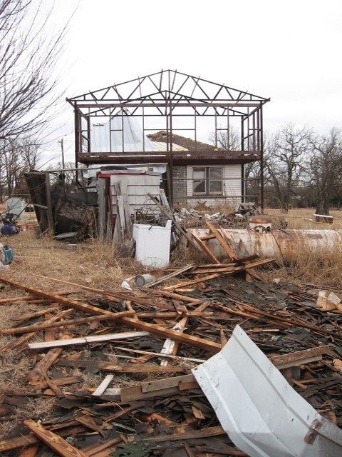
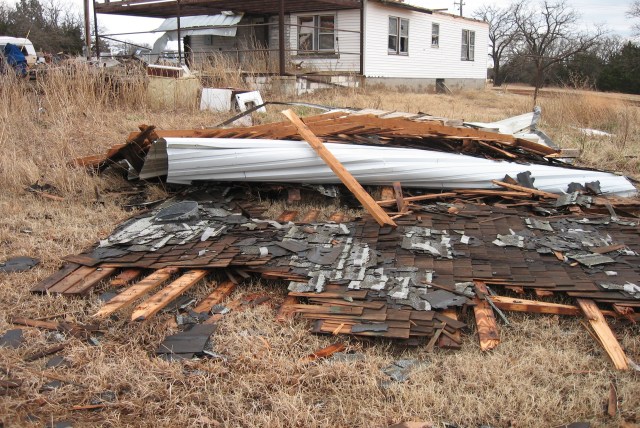
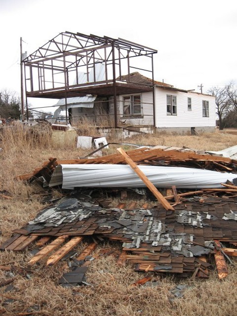
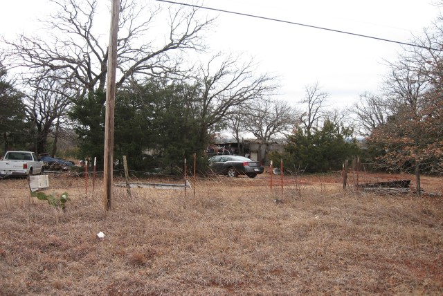
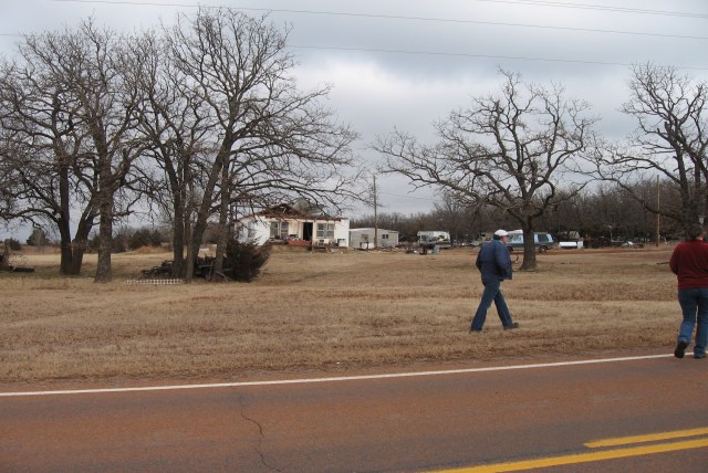
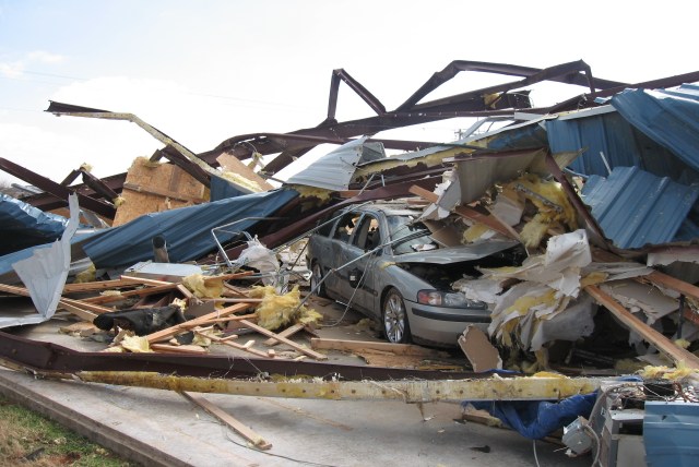
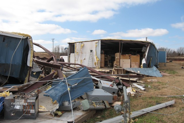
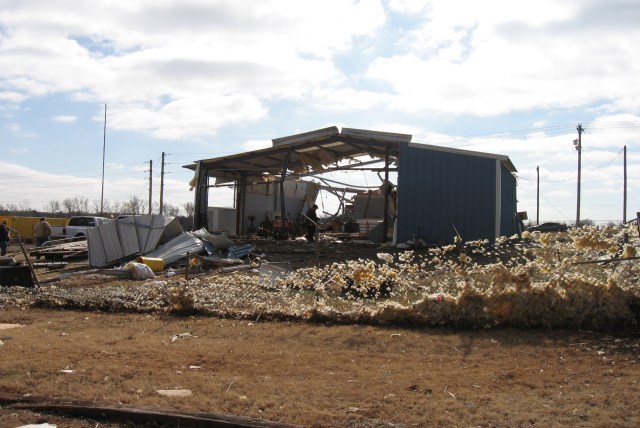
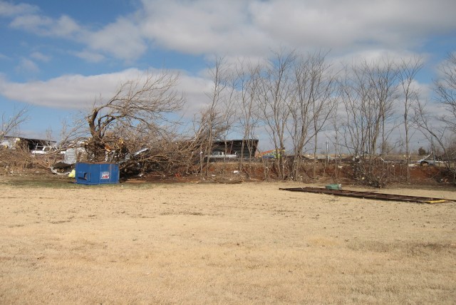
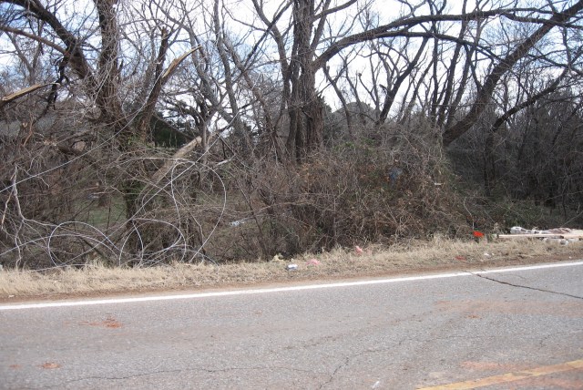
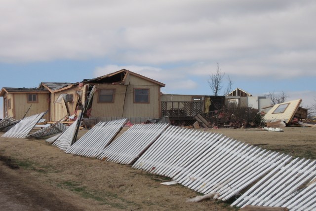
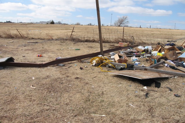
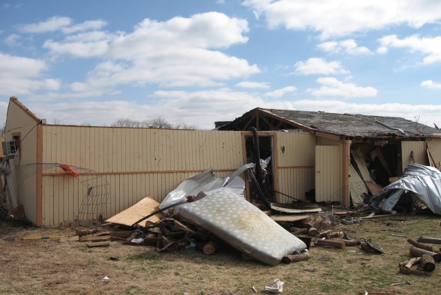
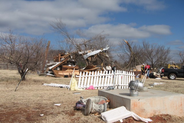
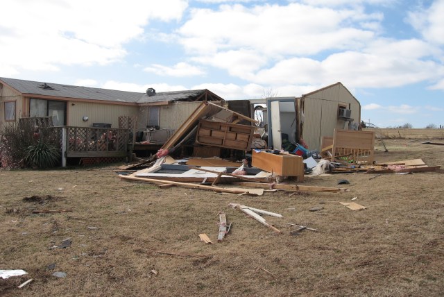
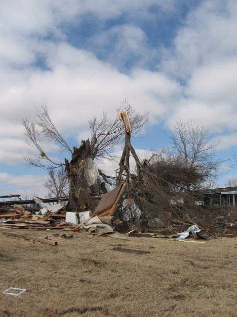
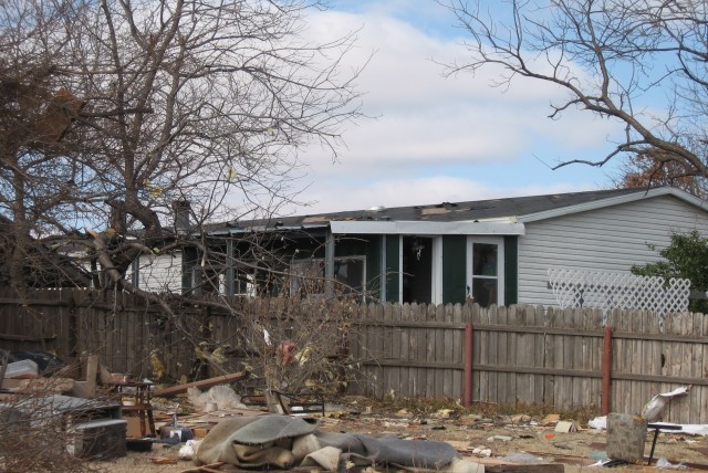
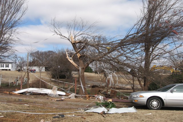
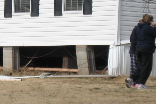
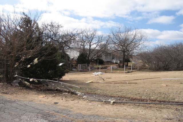
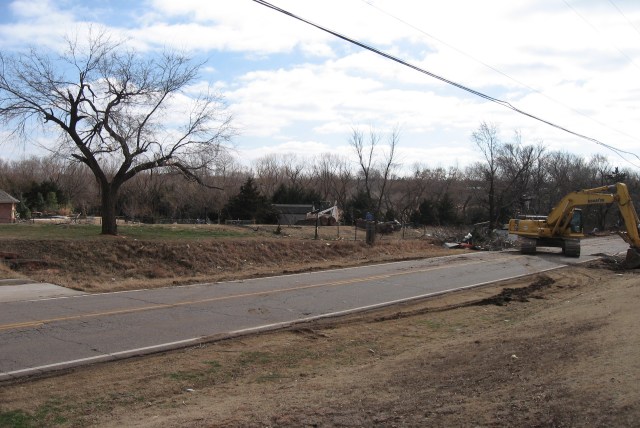
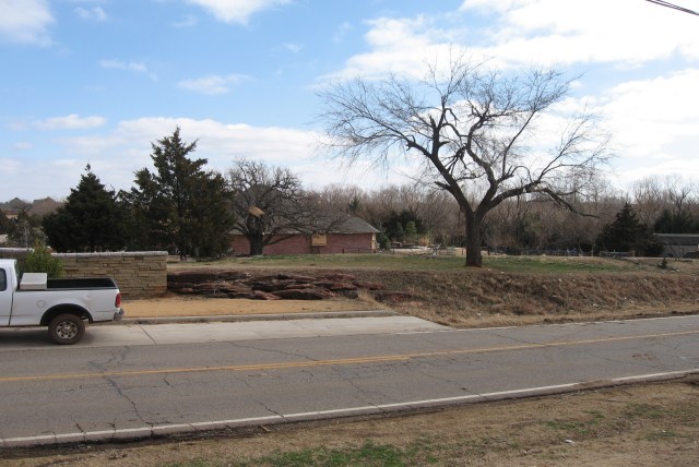
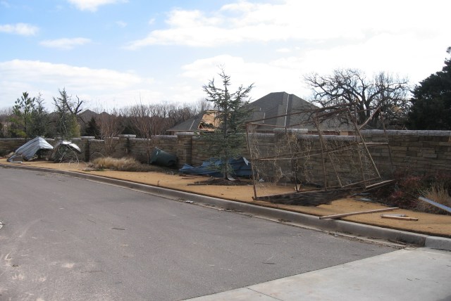
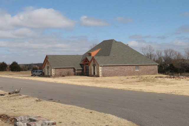
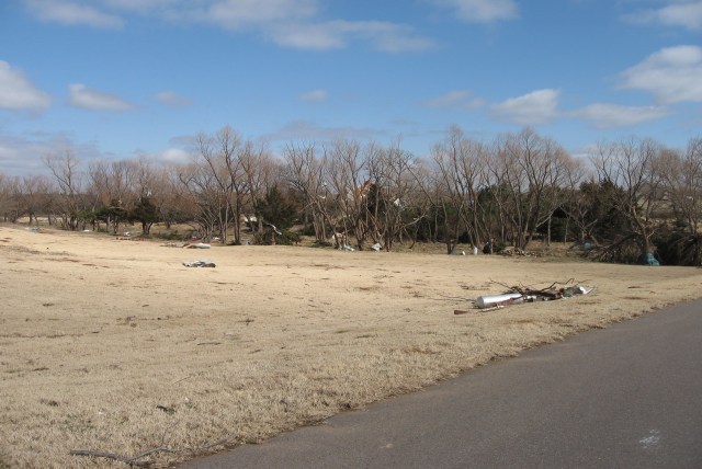
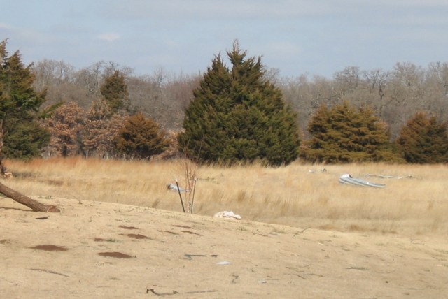
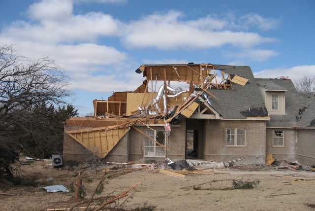
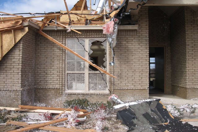
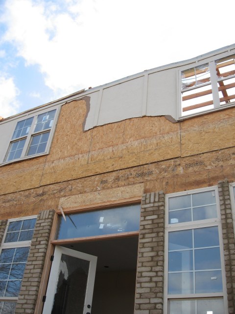
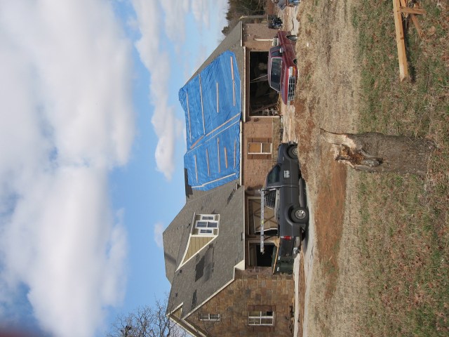
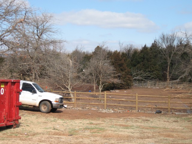
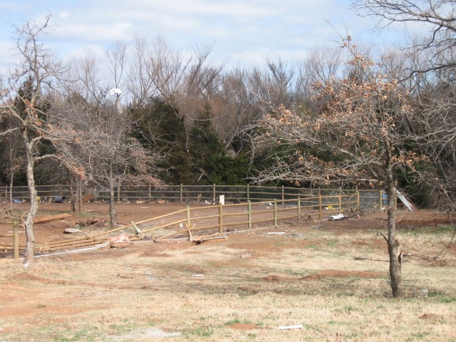
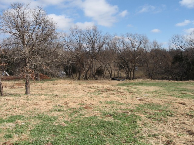
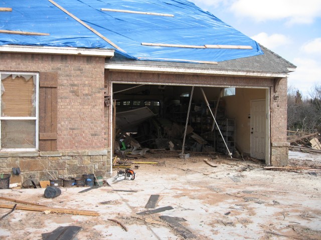
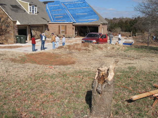
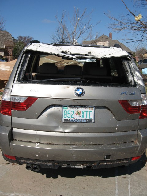
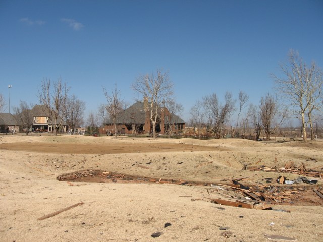
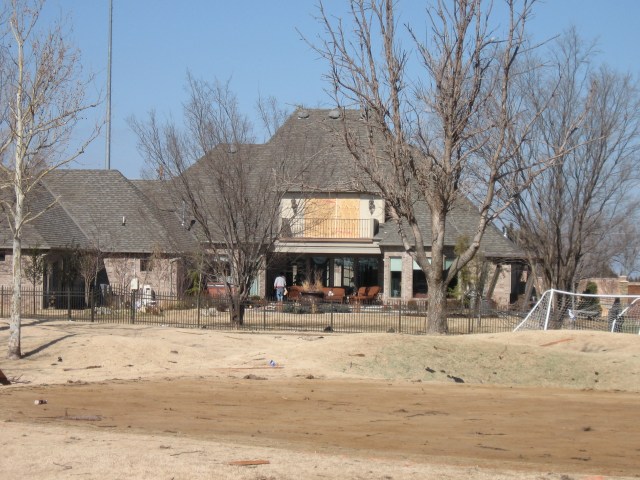
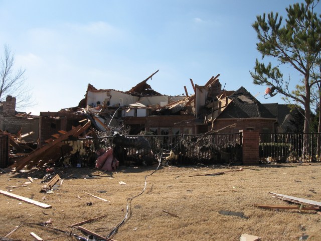
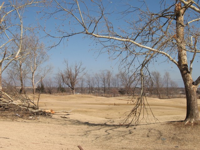
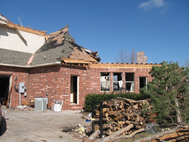
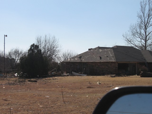
Below are damage photos taken by research scientist Kiel Ortega (NSSL/CIMMS) on February 11, 2009. A survey team comprised of Kiel, research scientist Kristin Kuhlman (NSSL/CIMMS), and NWS Norman lead forecaster Mike Branick surveyed storm damage in central Oklahoma.
 |
 |
 |
 |
 |
 |
 |
 |
 |
 |
 |
 |
 |
 |
 |
 |
 |
 |
 |
 |
 |
 |
 |
 |
 |
 |
 |
 |
 |
 |
 |
 |
 |
 |
 |
 |
 |
 |
 |
 |
 |
 |
 |
 |
 |
 |
 |
 |
 |
 |
 |
 |
 |
 |
 |
 |
 |
 |
 |
 |
 |
 |
 |
 |
 |
 |
 |
 |
 |
 |
 |
 |
 |
 |
 |
 |
 |
 |
 |
 |
 |
 |
 |
 |
 |
 |
 |
 |
 |
 |
 |
 |
 |
 |
 |
 |
 |
 |
 |
 |
 |
 |
 |
 |
 |
 |
 |
 |
 |
 |
 |
 |
 |
 |
 |
 |
 |
 |
 |
 |
 |
 |
 |
 |
 |
 |
 |
 |
 |
 |
 |
 |
 |
 |
 |
 |
 |
 |
 |
 |
 |
 |
 |
 |
 |
 |
 |
 |
 |
 |
 |
 |
 |
 |
 |
 |
 |
If you don't want to sift through the products below, you can use the table of products to jump to an individual text product that you'd like to view. The product names are abbreviated using their common acronyms. The links are the times the products were issued in Central Standard Time on the 24-hour clock. Here are the names that the acronyms are associated with: Hazardous Weather Outlook (HWO), Area Forecast Discussion (AFD), Watch County Notification (WCN), Significant Weather Advisory (SPS), Regional Weather Discussion (NOW), Severe Thunderstorm Warning (SVR), Tornado Warning (TOR), Warning Decision Update (AWU).
Red boxes in the table indicate Severe Weather Statements (SVS) that updated a SVR or TOR product. The SVS products have been categorized with the SVR and TOR products so the warnings will follow a logical progression.
| Product | Jump To Product | |||||||||||
|---|---|---|---|---|---|---|---|---|---|---|---|---|
| HWO | 0650 | 0910 | 1150 | 2035 | ||||||||
| AFD | 0429 | 0634 | 1039 | 1158 | 1350 | 1744 | ||||||
| WCN | 1249 | 1442 | 1756 | 1949 | 2000 | 2047 | ||||||
| AWU | 1453 | 1654 | 1815 | |||||||||
| NOW | 1317 | 1437 | 1705 | 1835 | 1957 | 2136 | 2233 | |||||
| SPS | 1316 | 1319 | 1325 | 1327 | 1329 | 1345 | 1348 | 1353 | 1412 | 1443 | 1509 | 1730 |
| 1820 | 1946 | 2147 | ||||||||||
| SVR | 1340 | 1356 | 1429 | 1437 | 1456 | 1510 | 1516 | 1528 | 1532 | 1543 | 1544 | 1551 |
| 1559 | 1601 | 1603 | 1609 | 1612 | 1615 | 1620 | 1626 | 1629 | 1643 | 1647 | 1650 | |
| 1655 | 1700 | 1717 | 1727 | 1728 | 1743 | 1743 | 1748 | 1828 | 1828 | 1838 | 1845 | |
| 1914 | 2010 | 2039 | 2058 | 2119 | ||||||||
| TOR | 1417 | 1426 | 1435 | 1444 | 1451 | 1459 | 1501 | 1504 | 1508 | 1513 | 1516 | 1523 |
| 1525 | 1532 | 1535 | 1538 | 1545 | 1549 | 1600 | 1850 | 1915 | 1926 | 1931 | 1938 | |
| 1950 | 1959 | 2006 | 2018 | 2026 | 2033 | |||||||