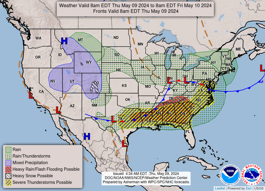
Isolated severe storms capable of hail and gusty winds are possible mainly this evening across portions of the mid-Mississippi Valley. Clusters of thunderstorms may produce isolated flash flooding in the Florida peninsula. Elevated fire weather risk is possible in the Northern Plains into western Minnesota. Read More >
Morristown, TN
Weather Forecast Office
|
KNOXVILLE MCGHEE TYSON AIRPORT 455 AM EDT THU MAY 07 2026 -------------------------------------- From 100 AM EDT through 455 AM EDT High...62 at 147 AM EDT Low....55 at 453 AM EDT Precipitation.....0.01 Peak Wind Speed and Direction 233 AM EDT: N ( 350 Deg )at 20 MPH |
|
TRI-CITIES REGIONAL AIRPORT 455 AM EDT THU MAY 07 2026 -------------------------------------- From 100 AM EDT through 455 AM EDT High...63 at 250 AM EDT Low....56 at 455 AM EDT Precipitation.....0.03 Peak Wind Speed and Direction 432 AM EDT: N ( 360 Deg )at 15 MPH |
|
LOVELL FIELD CHATTANOOGA TN 455 AM EDT THU MAY 07 2026 -------------------------------------- From 100 AM EDT through 455 AM EDT High...64 at 333 AM EDT Low....60 at 455 AM EDT Precipitation.....0.12 Peak Wind Speed and Direction 408 AM EDT: N ( 360 Deg )at 16 MPH |
|
OAK RIDGE TN 455 AM EDT THU MAY 07 2026 -------------------------------------- From 100 AM EDT through 455 AM EDT High...60 at 113 AM EDT Low....55 at 455 AM EDT Precipitation.....0.02 Peak Wind Speed and Direction 224 AM EDT: NE ( 50 Deg )at 11 MPH |
US Dept of Commerce
National Oceanic and Atmospheric Administration
National Weather Service
Morristown, TN
5974 Commerce Blvd.
Morristown, TN 37814
(423) 586-3771
Comments? Questions? Please Contact Us.


 Local Radar
 Huntsville Radar
 Regional Satellite
 Graphical Forecast
 Weather Map