
Remnant moisture from Tropical Storm Rachel will persist over portions of the Great Basin and Southwest on Monday, bringing a potential heavy to excessive rainfall risk. Well above average and potentially record breaking temperatures will develop across the Plains and Midwest early this week, spreading into the Lower Mississippi Valley and Southeast midweek. Read More >
1. INTRODUCTION
2. DATA AND METHODOLOGY
3. RESULTS
4. CONCLUSIONS
5. ACKNOWLEDGMENTS
6. REFERENCES
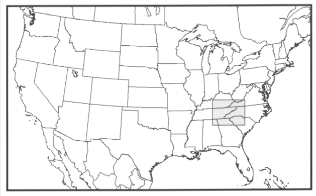
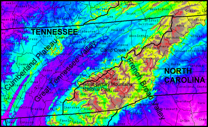
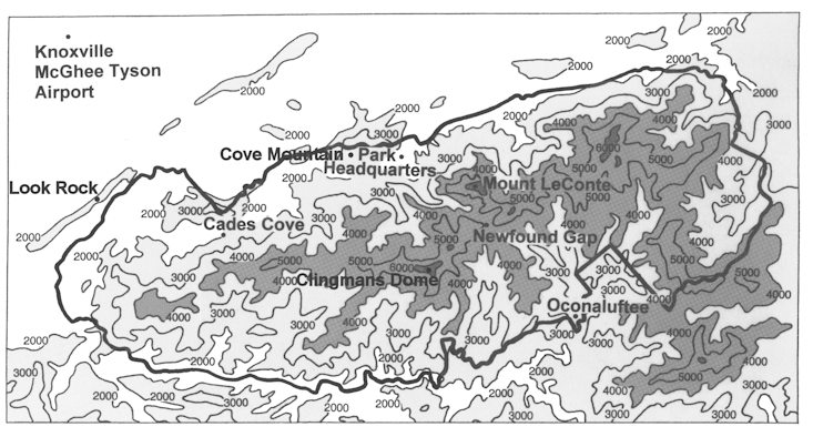
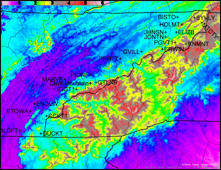
Table 1. WeatherBug and RAWS sites along the western foothills of the southern Appalachian Mountains.
|
Table 2. A comparison of the available observation sites along the western foothills on the warning-level wind dates at Cove Mountain (x indicates availability but no high winds observed, A indicates advisory-level winds observed, W indicates warning-level winds observed)
|


 Local Radar
 Huntsville Radar
 Regional Satellite
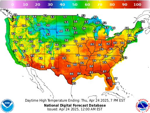 Graphical Forecast
 Weather Map
 Follow us on X
 Follow us on Facebook
 Follow us on YouTube
 MRX RSS Feed