February 7, 2018 Tornadoes:
Two EF-0 tornadoes and one EF-1 tornado were confirmed as a result of a few severe thunderstorms that occurred on the morning of February 7, 2018. Please refer to the survey results below for detailed information on each tornado.
1) Haralson County
2) Heard County
3) Talbot County
1) Haralson County Tornado:
At 7:43 AM, a tornado touched down on the west side of Bremen, GA just north of the intersection of Tallapoosa Street and Sewell Road. The tornado then moved northeast towards Kaiser Street where multiple large trees were snapped near the base or uprooted, including one that fell onto a duplex causing substantial damage to the roof, walls, and carport, as well as 2 nearby vehicles. This location is where the highest estimated wind speeds of 85 mph were recorded, making the tornado a high end EF-0. This location is also where the tornado reached its maximum width of 250 yards. The tornado continued northeast, snapping and uprooting several more trees between Church Street and Gordon Street. The tornado then dissipated at 7:45 AM at the intersection of Pine Street and Bryan Street Bypass with a total path length of 1.25 miles.
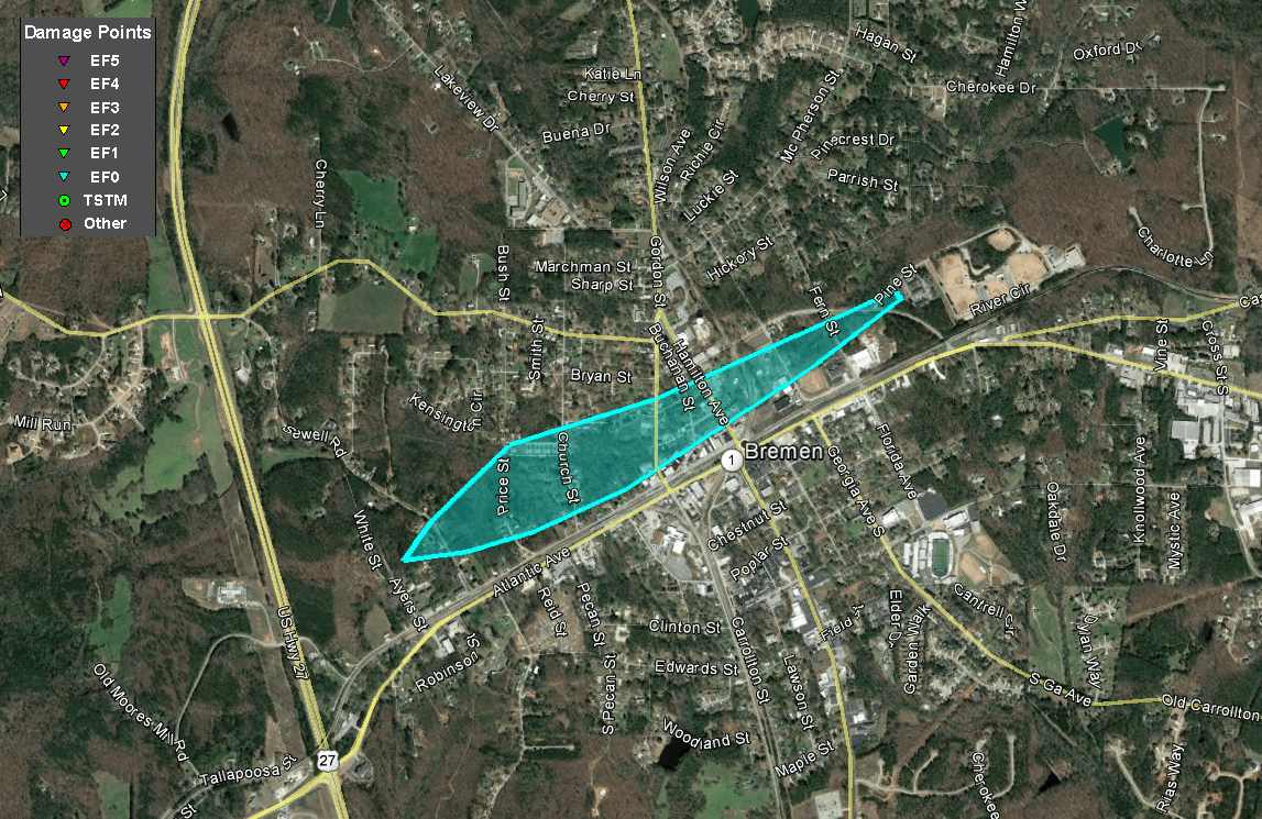 |
| Damage Path - Haralson County |
|
| County |
Rating |
# of Injuries |
KML |
| Haralson |
EF-0 |
0 |
 |
|
| Rating: |
EF-0 |
| Peak Wind: |
85 MPH |
| Path Length: |
1.25 miles |
| Path Width: |
250 yards |
| Fatalities: |
0 |
| Injuries: |
0 |
| Start Date: |
February 7, 2018 |
| Start Time: |
7:43 AM EST |
| Start Lat/Lon: |
33.7178 / -85.1590 |
| End Date: |
February 7, 2018 |
| End Time: |
7:45 AM EST |
| End Lat/Lon: |
33.7259 / -85.1396 |
|
|
|
|
 |
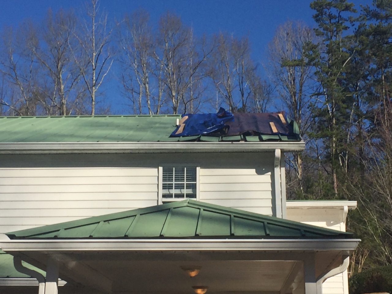
| This home in Bremen received minor roof damage. |
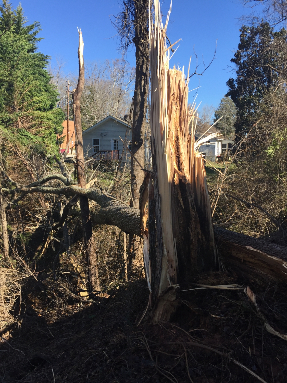
This tree was snapped by the tornado. |
2) Heard County Tornado:
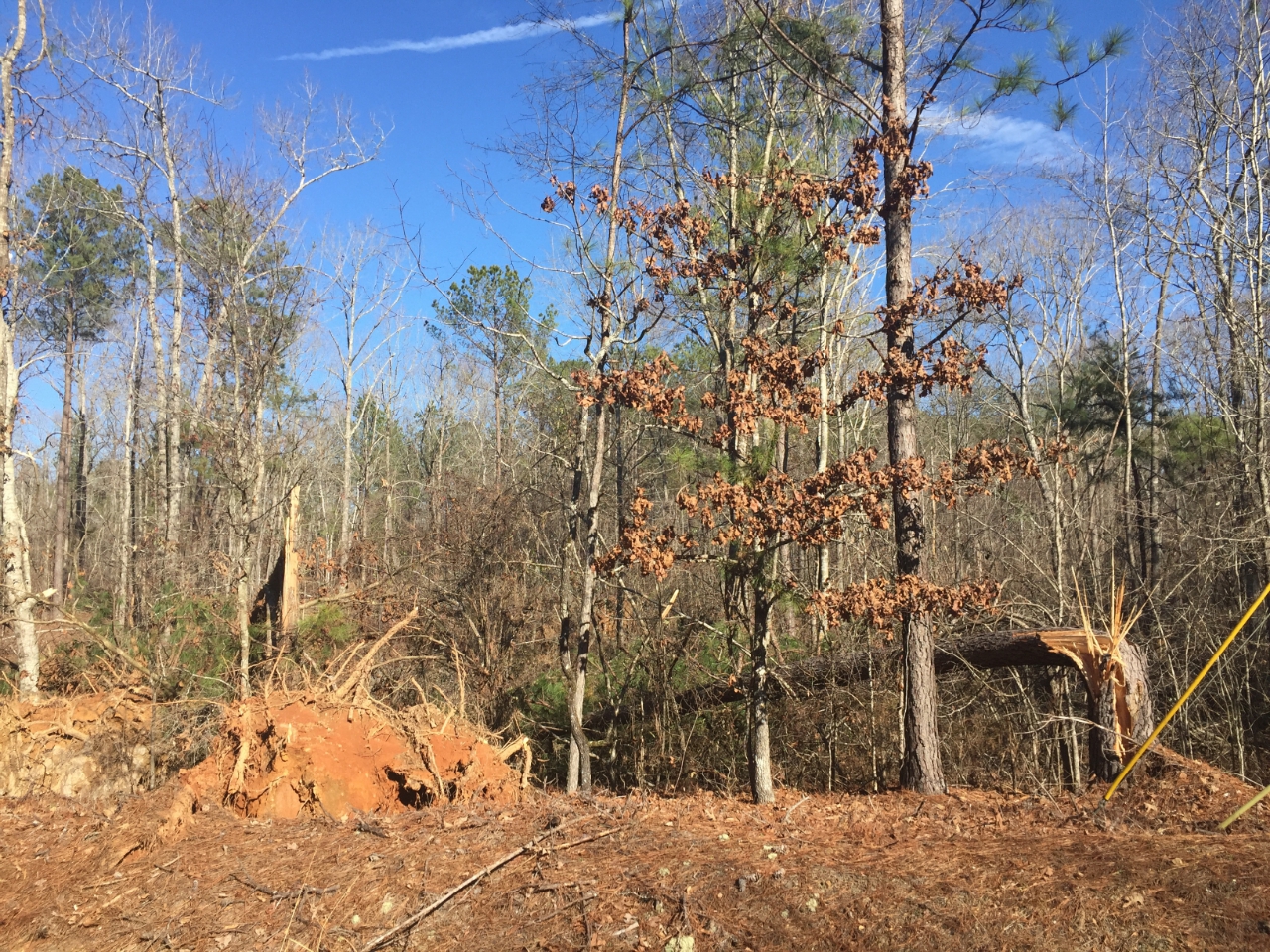
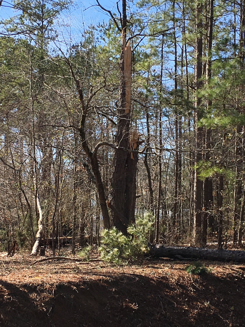
At 9:03 AM, a tornado touched down along Butler Road, 2.8 miles north of Glenn, GA. The tornado then moved east-northeasterly, crossing Victory Road around 9:04 AM, either uprooting or snapping nearly a dozen trees. At this point the damage path was at its widest at 250 yards. The tornado then continued moving approximately east-northeast, crossing just north of the intersection of Georgia Highway 219 and Victory Road. The tornado next crossed Boggus Road, just north of Noles Road, where over a dozen trees were snapped or uprooted in a continuous swath. The highest estimated wind speeds of the tornado of 95 mph were found here, corresponding to a low-end EF-1 tornado. The tornado then moved eastward, ending just north of Bevis Road and Brush Creek Road, approximately 5.1 miles south-southwest of Franklin, GA at 9:08 AM. The total path length was 5 miles.
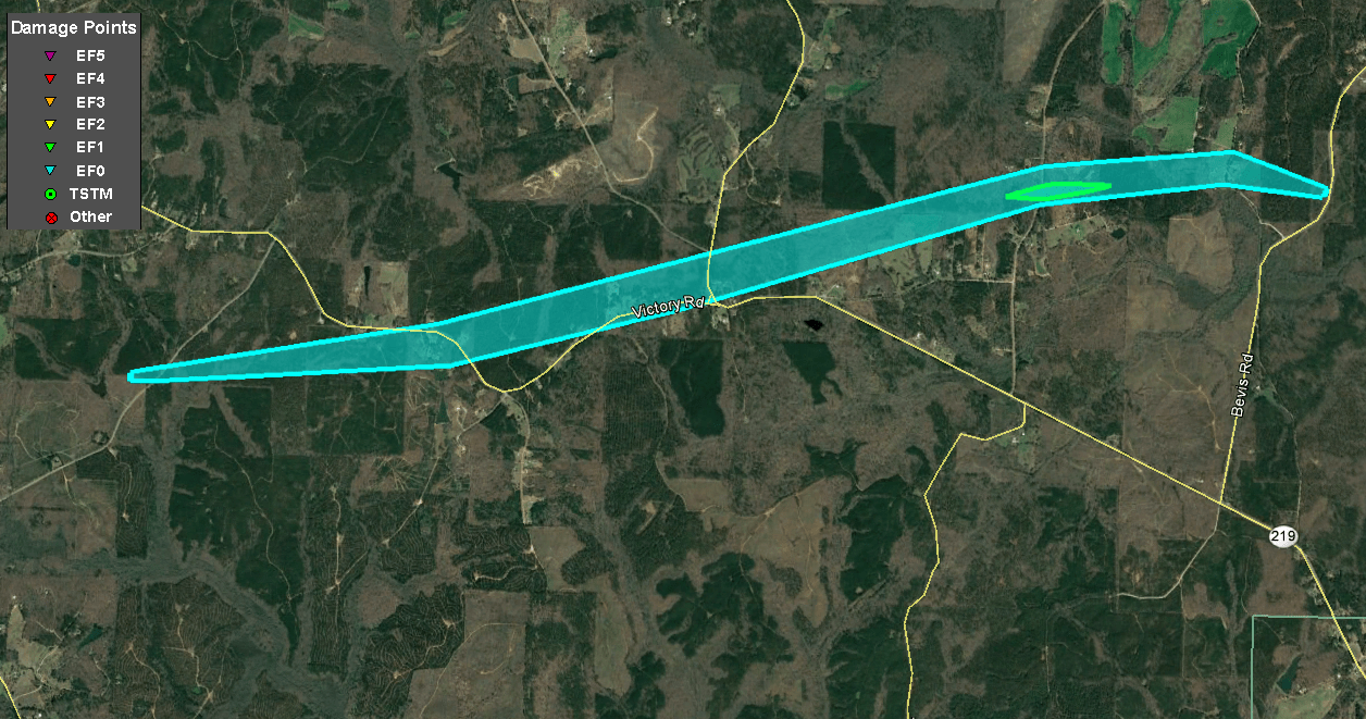 |
| Damage Path - Heard County |
|
| County |
Rating |
# of Injuries |
KML |
| Heard |
EF-1 |
0 |
 |
|
| Rating: |
EF-1 |
| Peak Wind: |
95 MPH |
| Path Length: |
5.0 miles |
| Path Width: |
250 yards |
| Fatalities: |
0 |
| Injuries: |
0 |
| Start Date: |
February 7, 2018 |
| Start Time: |
9:03 AM EST |
| Start Lat/Lon: |
33.1916 / -85.2025 |
| End Date: |
February 7, 2018 |
| End Time: |
9:08 AM EST |
| End Lat/Lon: |
33.2074 / -85.1129 |
|
|
|
|
 |
| A number of trees were snapped or uprooted in this location off Boggus Road. |
Tree damage of this variety was common along the tornado's track. |
3) Talbot County Tornado:
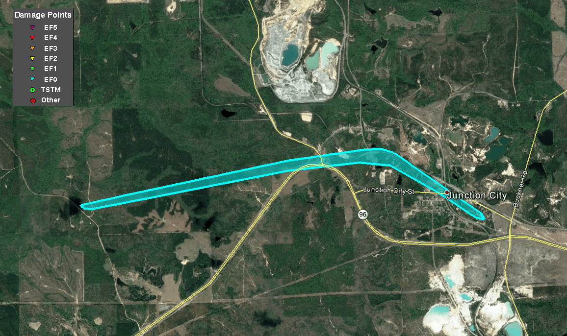
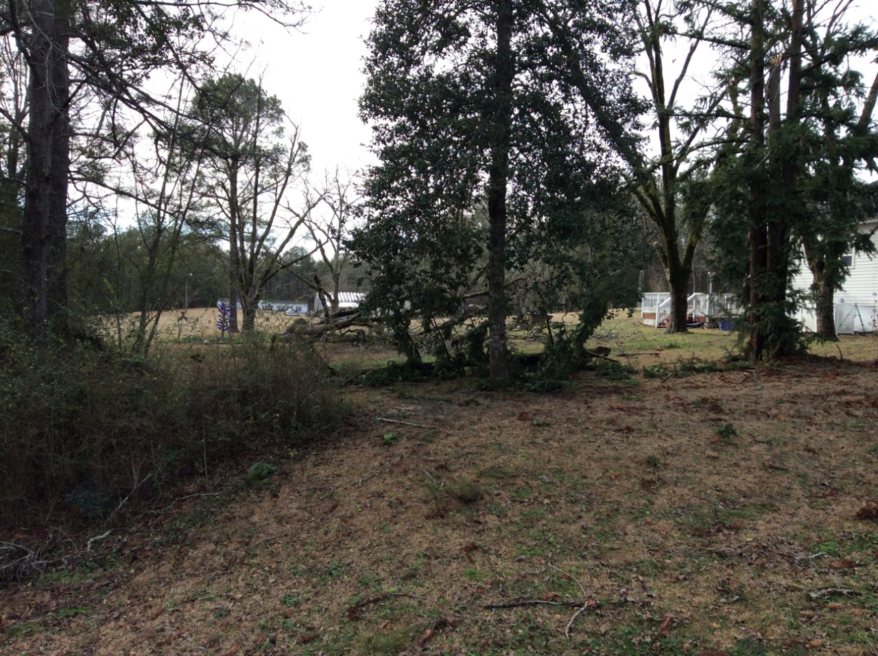
A weak tornado touched down near the intersection of Carlyle Road and Taylor Road west of Junction City where a few small softwood trees were snapped or uprooted. As the tornado continued eastward, about 15-20 small softwood trees were snapped just west of the intersection of Georgia Highway 96 and Georgia Highway 90. As the tornado entered Junction City, some siding was removed from a small pole barn on Rock Church Road, and additional small trees were snapped. The tornado then lifted after snapping 15-20 more small-to-medium trees along Broadwood Circle.
 |
| Damage Path - Talbot County |
|
| County |
Rating |
# of Injuries |
KML |
| Talbot |
EF-0 |
0 |
 |
|
| Rating: |
EF-0 |
| Peak Wind: |
85 MPH |
| Path Length: |
3.7 miles |
| Path Width: |
200 yards |
| Fatalities: |
0 |
| Injuries: |
0 |
| Start Date: |
February 7, 2018 |
| Start Time: |
11:10 AM EST |
| Start Lat/Lon: |
32.6038 / -84.5151 |
| End Date: |
February 7, 2018 |
| End Time: |
11:14 AM EST |
| End Lat/Lon: |
32.5999 / -84.4538 |
|
|
|
|
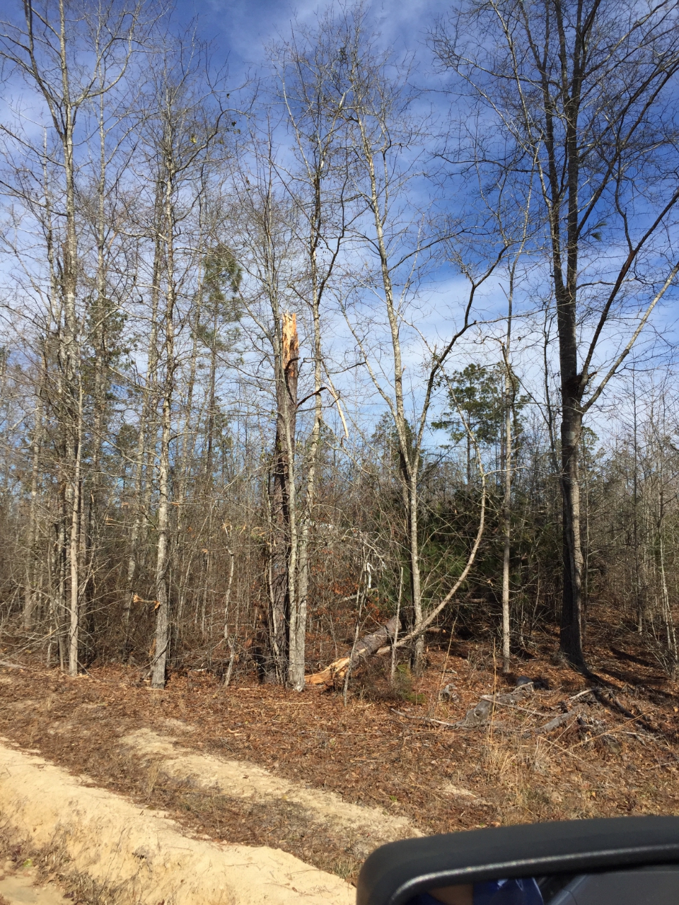 |
| Tree damage of this variety was typical along the tornado track. |
This tree damage occurred near the beginning of the tornado track. |


