|
Tornado Strikes Newton
and Morgan Counties
April 19, 2013
|
A cold front that moved through north and central Georgia brought with it a line of showers and thunderstorms. Initially as the showers moved into northwest Georgia, the winds were strong enough to knock down two trees in Chattooga County. Overall though, the line of showers was weak with no lightning as it moved across northwest Georgia. By mid-morning, the line began to intensify and this intensification continued into the afternoon. The Storm Prediction Center issued a Severe Thunderstorm Watch for parts of northeast and most of central Georgia just before 1 PM with the primary threat being damaging winds. Although a few reports were received that afternoon of downed trees across central Georgia, the main damage during the event resulted from an EF-2 tornado that struck Newton and Morgan Counties just after 1 PM. This was a QLCS (Quasi-Linear Convection System) tornado and these types of tornadoes often form at a kink in the line of reflectivity and develop quickly with little to no warning.
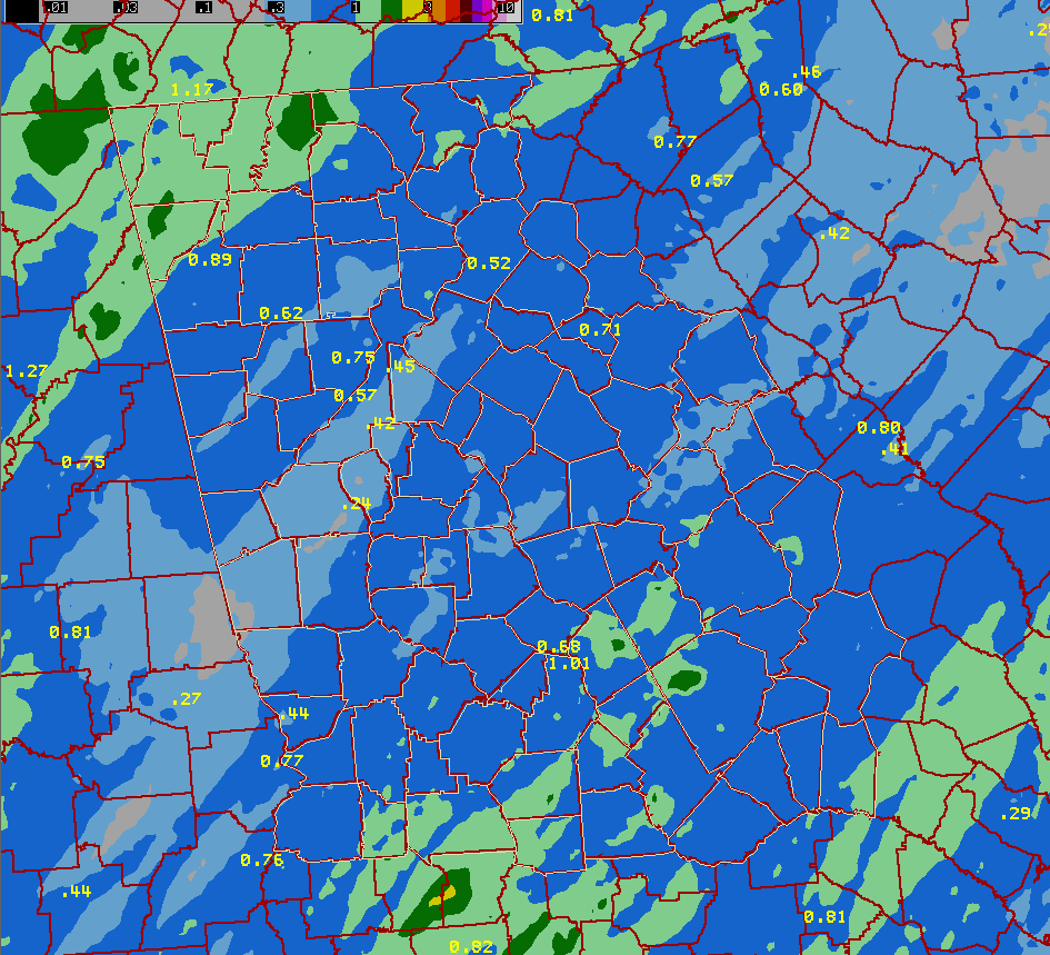
During the event around a half inch to an inch of rainfall occurred, with isolated areas receiving up to an inch and a half.
Newton-Morgan County Tornado
Rating: EF-2
Max wind speed: 105-115 MPH
Path length: 7.5 miles
Path width: 175 yards
Injuries: 1
Deaths: 0
Start time: 1:12 PM EDT (April 19, 2013)
End time: 1:22 PM EDT (April 19, 2013)
Begin point: 33.5069N / 83.7465W (1 mile SW of Mansfield)
End point: 33.5408N / 83.6246W (4 miles ENE of Newborn)
A tornado quickly formed within a line of storms moving through Newton County, Georgia during the early afternoon hours of April 19, 2013. The EF-2 tornado first touched down along Dukes Road, southwest of the town of Mansfield, GA, where it started snapping and uprooting a few trees. As the tornado moved east along Kellogg Street it gained intensity producing EF-1 damage to several homes along Kellogg Street and Savannah Street. The EF-2 damage occurred to an older home on the north side of Kellogg Street where the home was completely destroyed. A mobile home further east along Kellogg Street was also completely destroyed. One person was injured in the mobile home and was trapped within the debris. Numerous trees and powerlines were snapped and downed along Kellogg Street as well as further east along Sewell and Loyd roads. In all, 8 homes sustained significant damage and a few buildings in downtown Mansfield sustained minor damage. The tornado began to weaken as it headed northeast crossing CR-213 where a park sustained damage to several outbuildings and several trees were uprooted. Minor tree damage was noted in the town of Newborn as the tornado moved through the north side of town. The track ended in Morgan County near the intersection of Durden Road and Reese Road where a few trees were snapped and uprooted.
 |
|
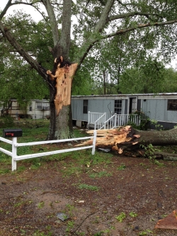
Tree split by tornado
|
 |
 |
|
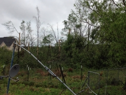
Trees snapped by tornado
|
Home destroyed by tornado
|
 |
|
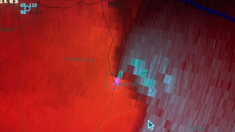
Velocity data from the Newton-Morgan tornado
|
|