Severe Weather Monitor
Note: Refresh or reload page to update images and data.
 |

|
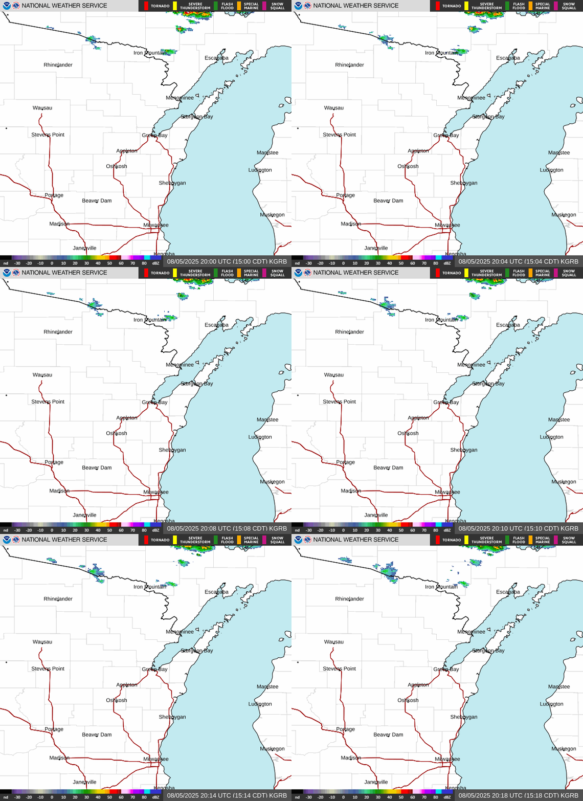
NWS Green Bay Radar
Click for more options |
Great Lakes Radar Mosaic
Click for more options |
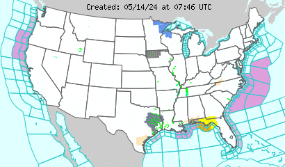
Hazardous Weather Outlook
Note: Product updated daily by 6 AM and as needed during the day.
|
029
FLUS43 KGRB 290600
HWOGRB
Hazardous Weather Outlook
National Weather Service Green Bay WI
100 AM CDT Wed Apr 29 2026
WIZ005-010>013-018>022-030-031-035>040-045-048>050-073-074-300600-
Vilas-Oneida-Forest-Florence-Northern Marinette County-Lincoln-
Langlade-Menominee-Northern Oconto County-Door-Marathon-Shawano-
Wood-Portage-Waupaca-Outagamie-Brown-Kewaunee-Waushara-Winnebago-
Calumet-Manitowoc-Southern Marinette County-
Southern Oconto County-
100 AM CDT Wed Apr 29 2026
This Hazardous Weather Outlook is for north-central and northeast
Wisconsin.
.DAY ONE...Today and Tonight
Minor flooding continues on the Wolf River and Lake Winnebago
system.
.DAYS TWO THROUGH SEVEN...Wednesday through Monday
Minor flooding is forecast to continue on the Wolf River and Lake
Winnebago system through late this week.
Frost/freeze headlines will likely be needed across portions of
central to east-central Wisconsin Thursday and Friday nights.
.SPOTTER INFORMATION STATEMENT...
Spotter activation will not be needed today or tonight.
$$
LMZ521-522-541>543-300600-
The Bay of Green Bay south of a line from Cedar River MI to Rock
Island Passage-Lake Michigan from Washington Island to Sheboygan-
100 AM CDT Wed Apr 29 2026
This Hazardous Weather Outlook is for portions of northwest Lake
Michigan and the waters of Green Bay.
.DAY ONE...Today and Tonight
The probability for widespread hazardous weather is low.
.DAYS TWO THROUGH SEVEN...Wednesday through Monday
The probability for widespread hazardous weather is low.
$$
Goodin
Watch County List
Note: Product issued only as needed -- Make sure date on product matches today's date.
|


