Green Bay, WI
Weather Forecast Office
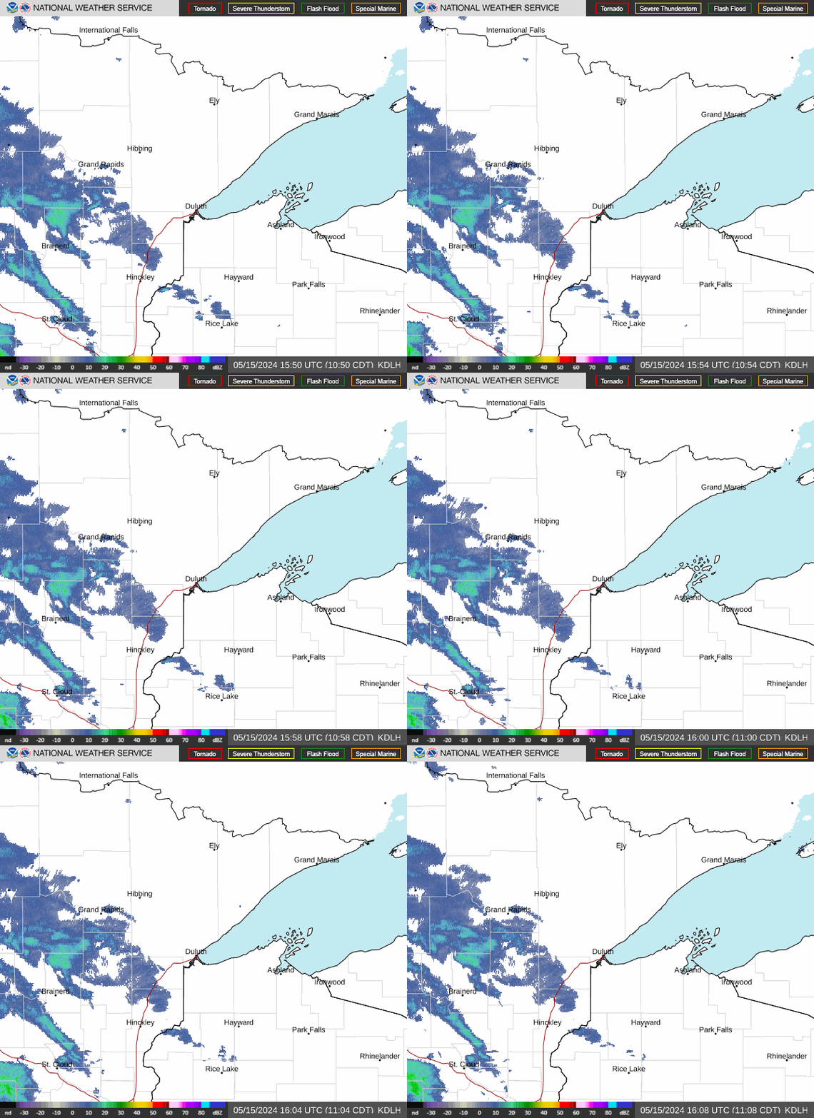
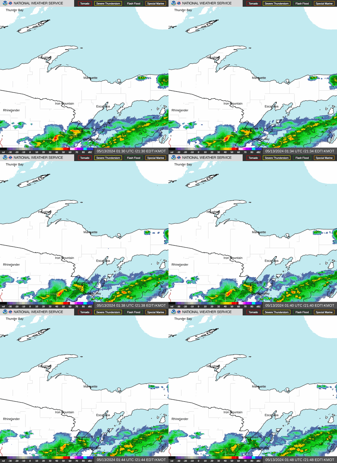
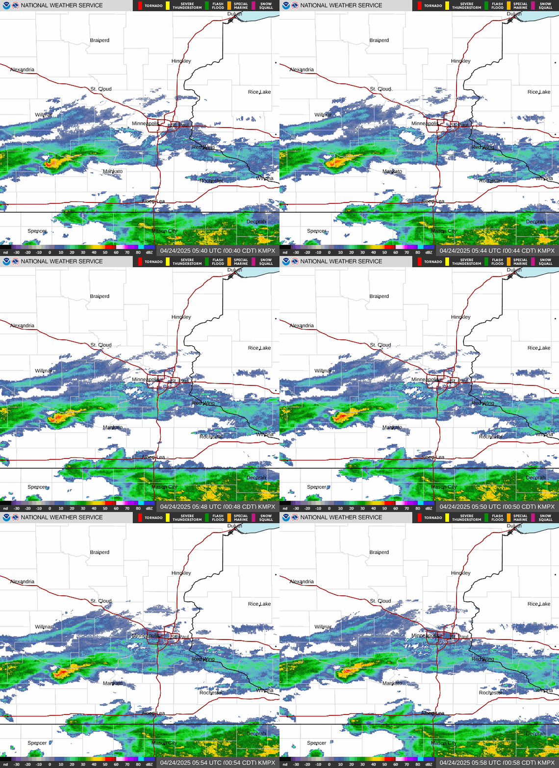
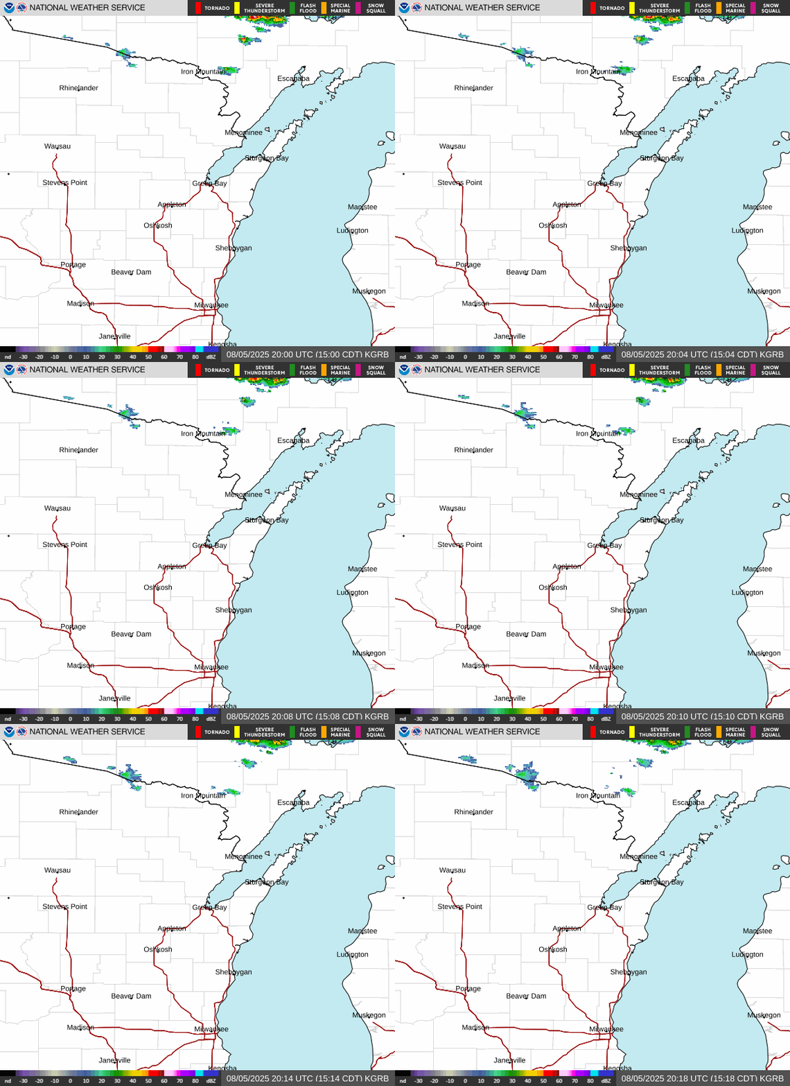
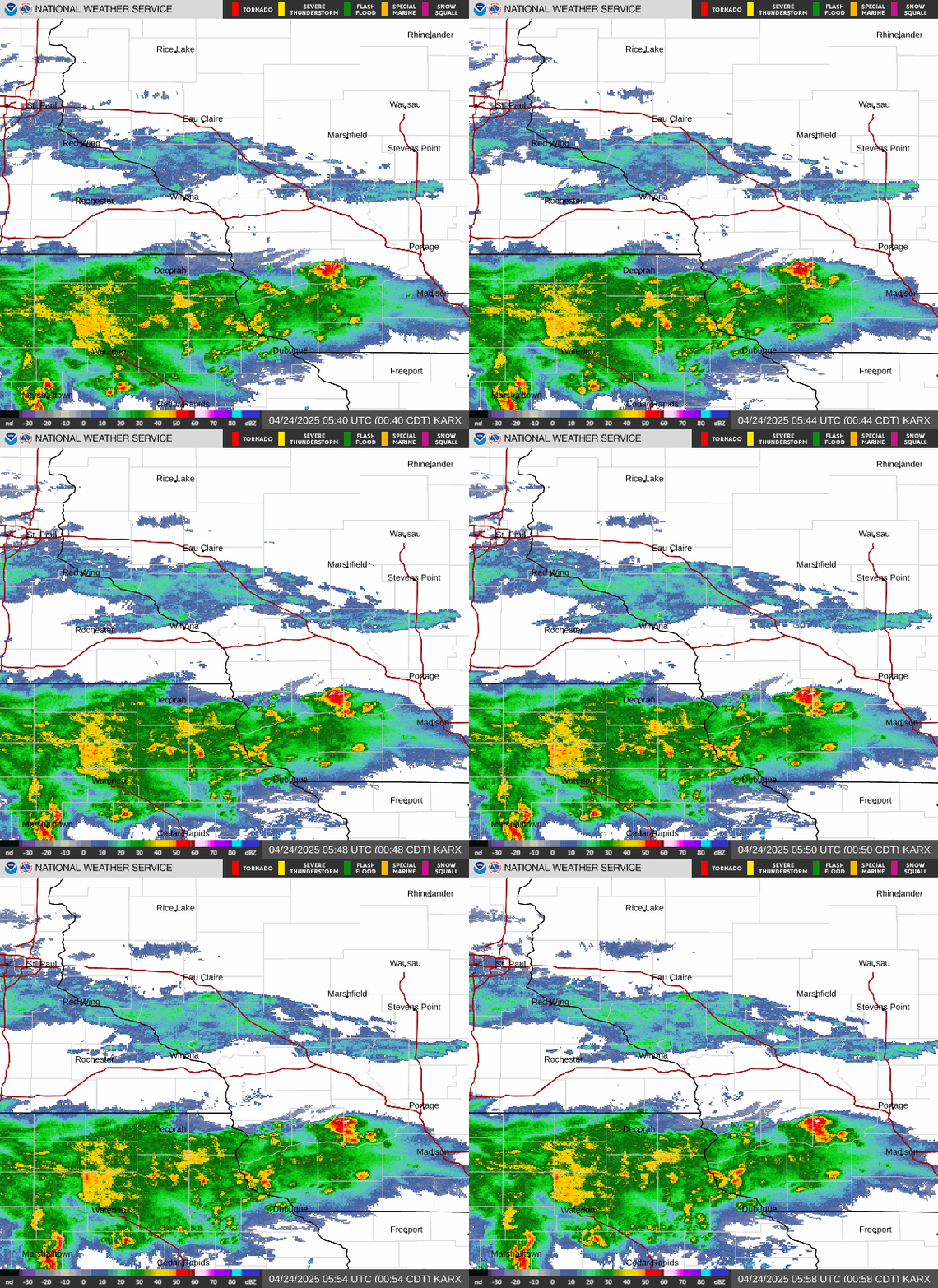
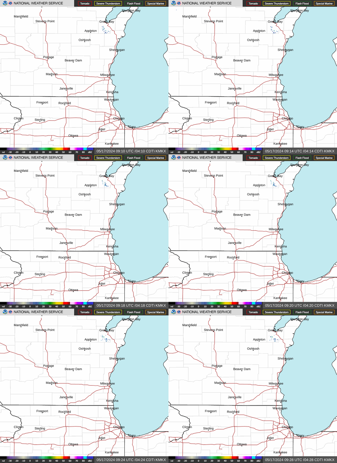
NWS Doppler Radar
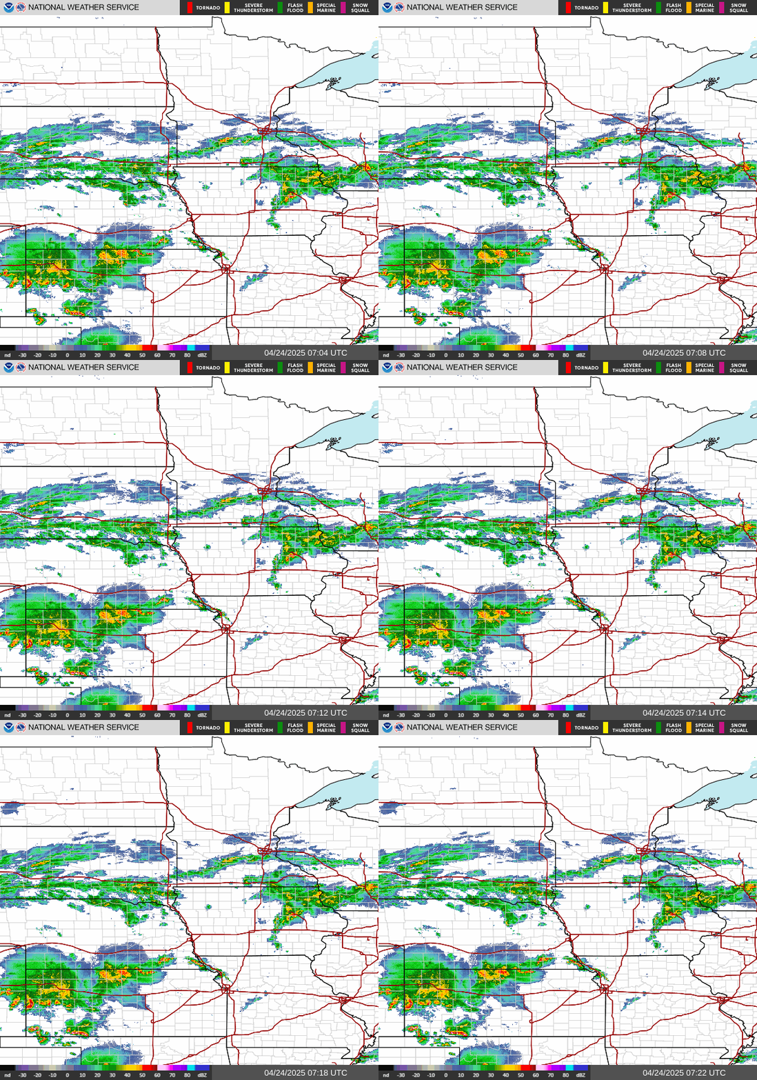
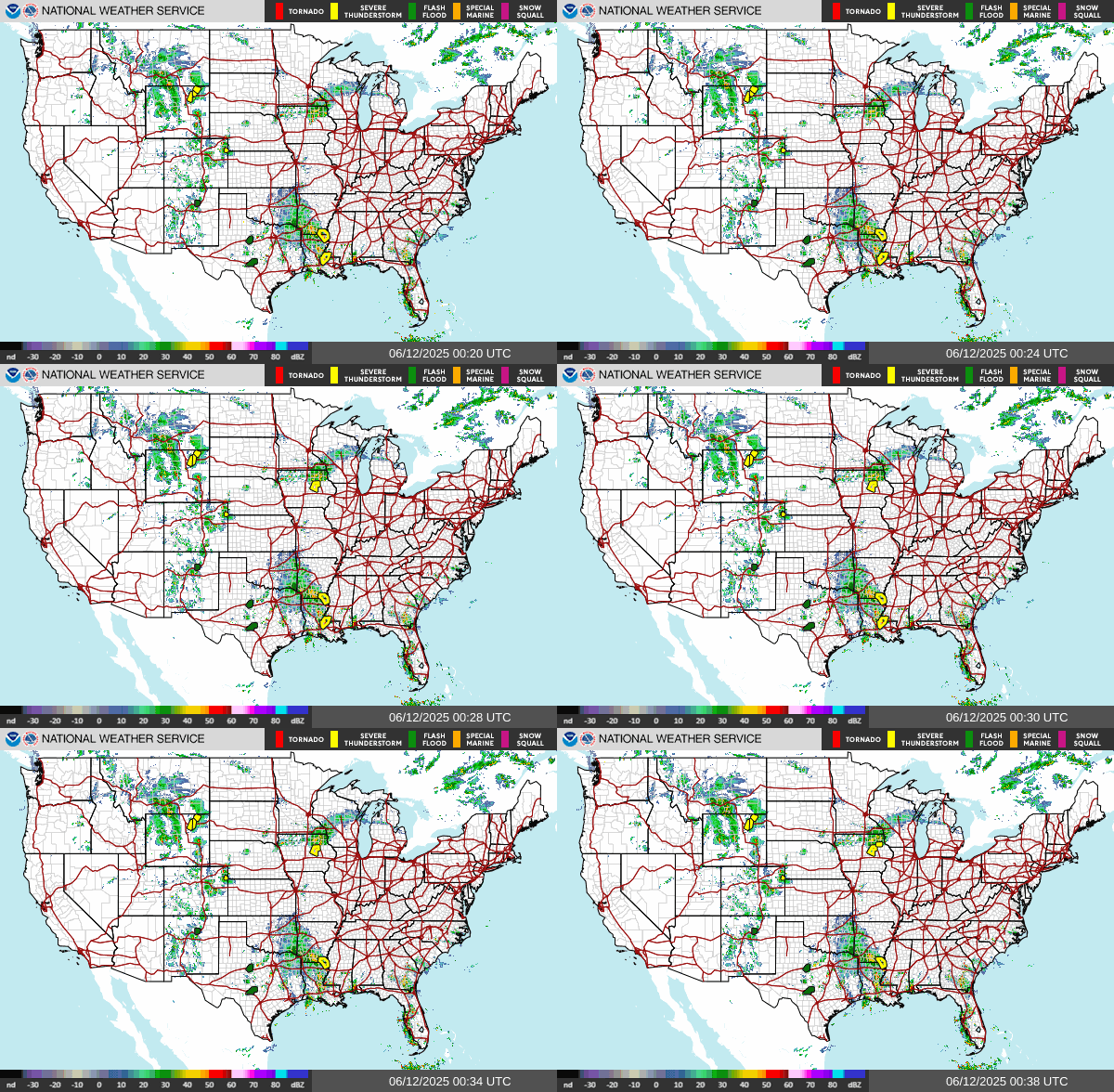
Click on image for more radar options. Be sure to "Reload/Refresh" to ensure you are looking at the most recent image.
|
Duluth, MN |
Marquette, MI |
Minneapolis, MN |
|
Green Bay, WI |
La Crosse, WI |
Milwaukee, WI |
Regional Radar Mosaics
 |
 |
U.S. Radar Mosaic
Click HERE for the latest radar status message from NWS Green Bay.
US Dept of Commerce
National Oceanic and Atmospheric Administration
National Weather Service
Green Bay, WI
2485 South Point Road
Green Bay, WI 54313-5522
920-494-2363
Comments? Questions? Please Contact Us.


