Green Bay, WI
Weather Forecast Office
Wisconsin Mesoanalysis
Click a map for larger view
| Convection | Moisture | Upper Air | Winter |
Altimeter (Sfc Pressure) - (Zoomed View)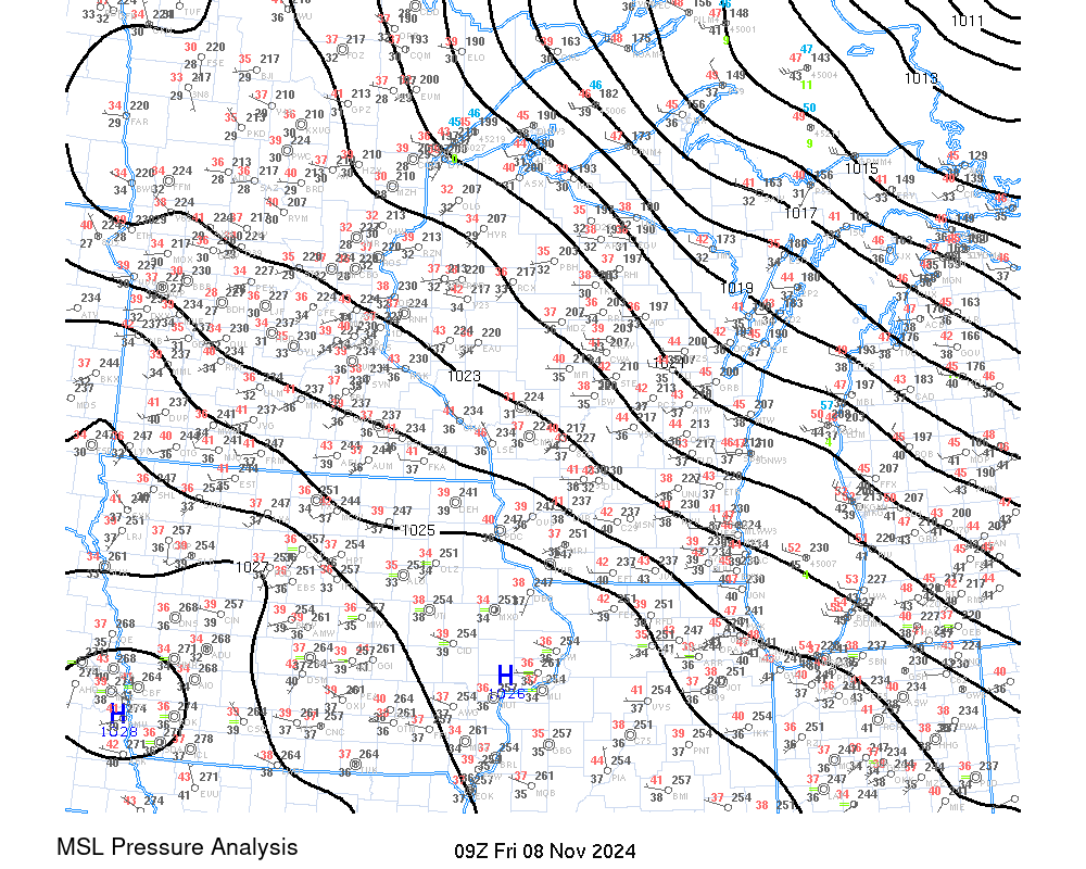 |
Radar Mosaic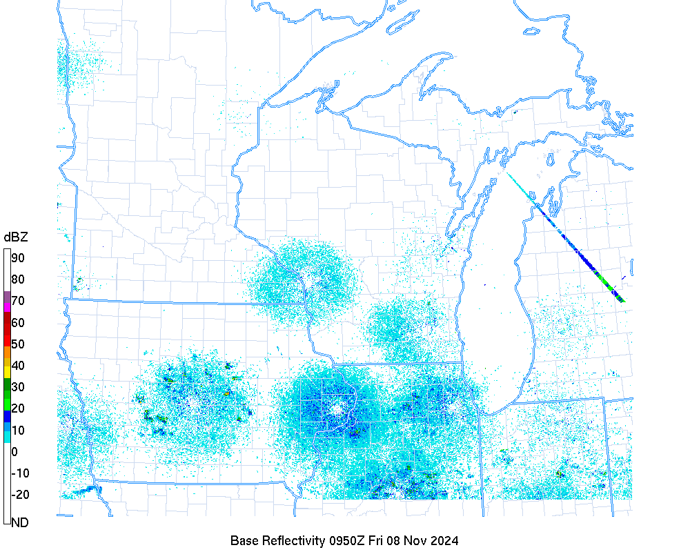 |
Satellite |
Watches, Warnings, Advisories (Convective warnings not shown)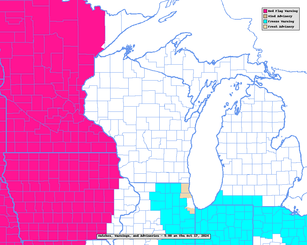 |
| Convection - Help | |
Surface-Based CAPE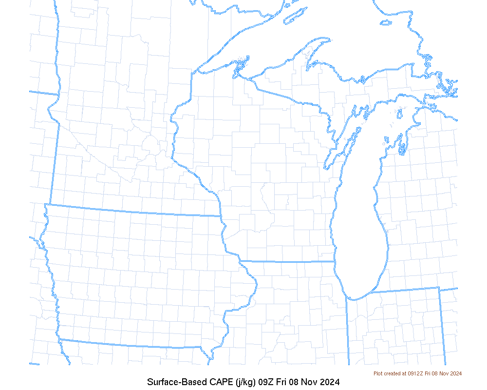 |
Mixed Layer CAPE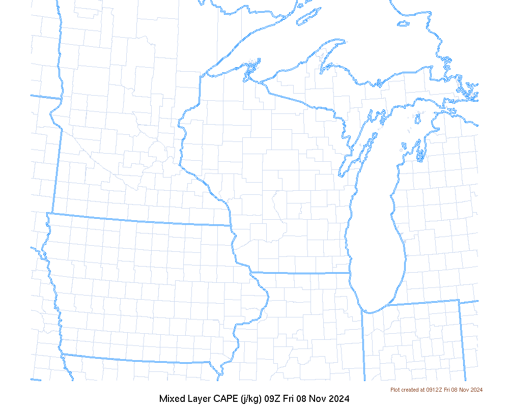 |
Most Unstable CAPE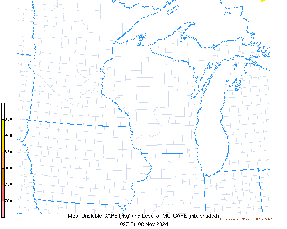 |
Most Unstable CAPE + Weakest Conv Inhibition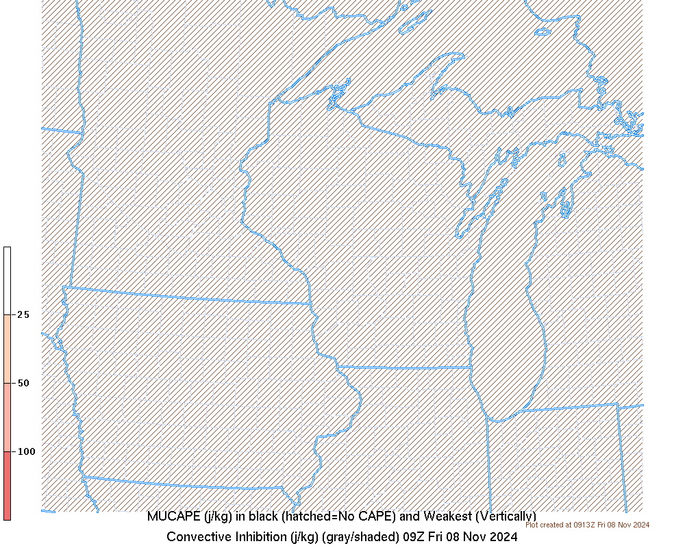 |
Mid-Level Lapse Rate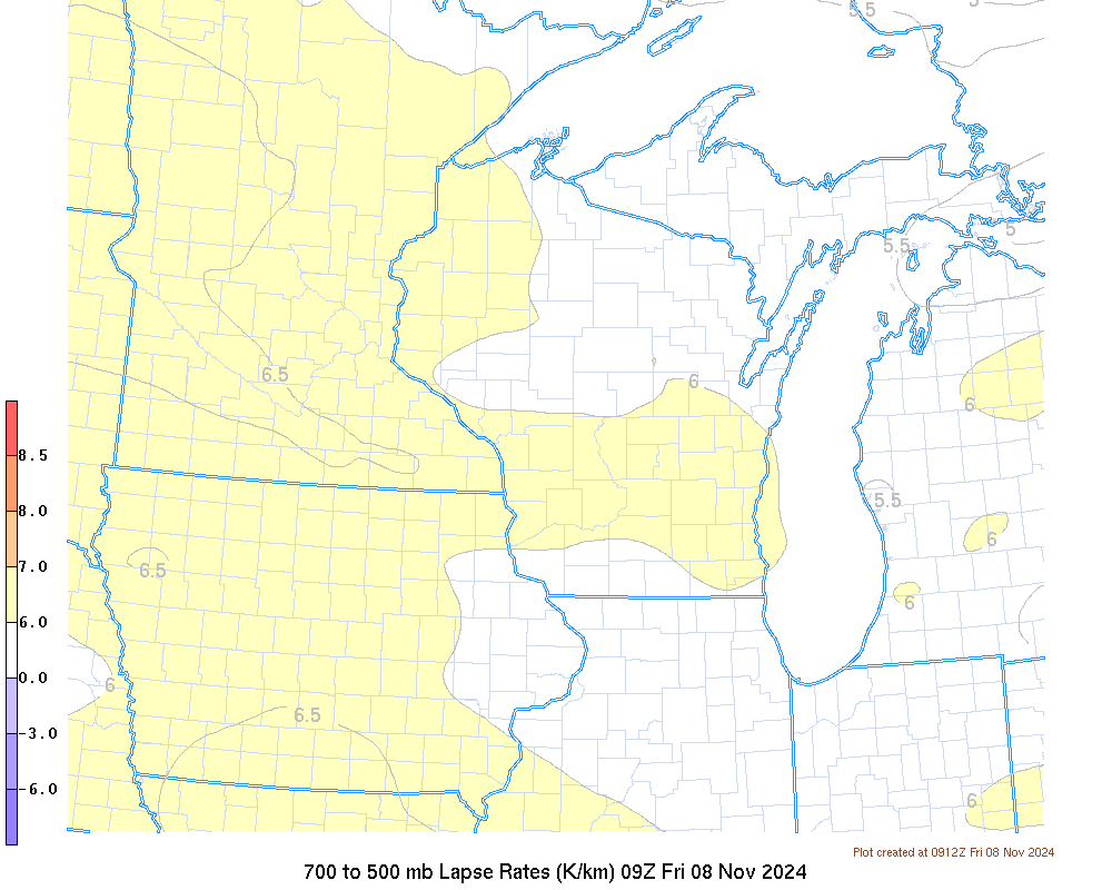 |
0-6 km Shear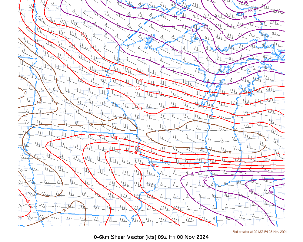 |
0-3 km SR Helicity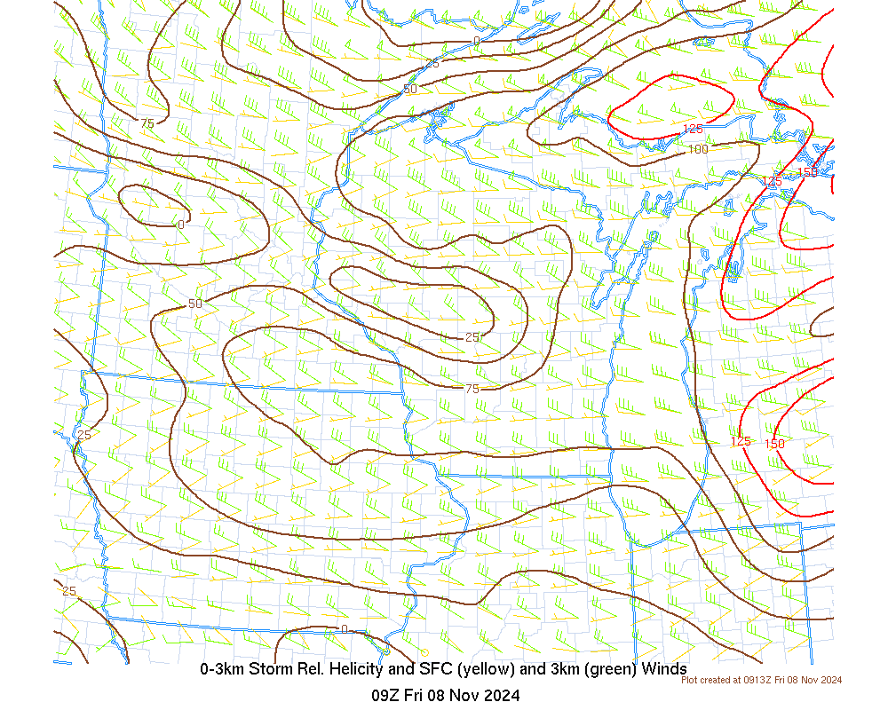 |
Corfidi Vectors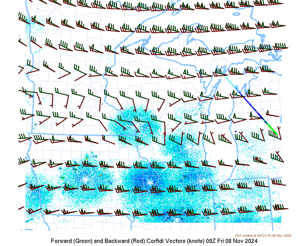 |
LCL Height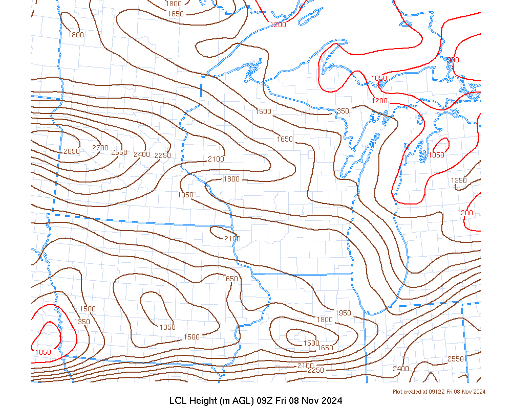 |
Convective Temp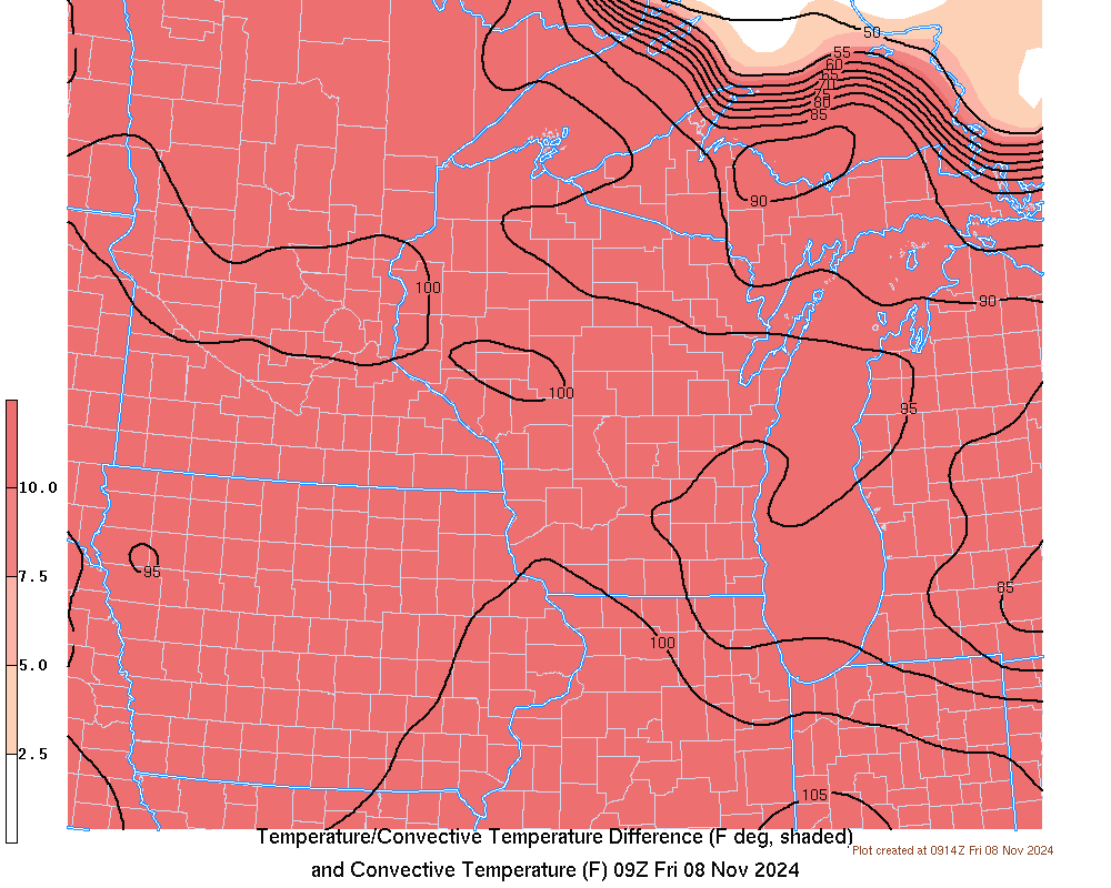 |
Non-Supercell Tornado Parameter |
Day 1 Severe Risk |
| Moisture | |
0-1 km Moisture + Convergence + Radar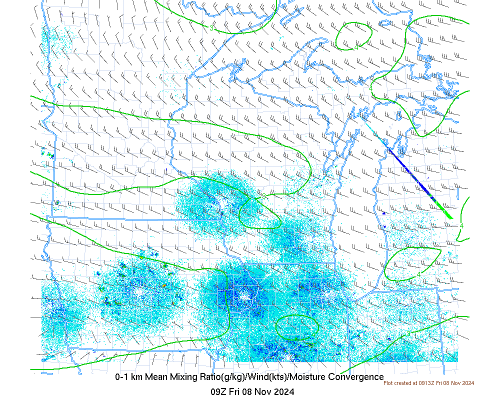 |
1-2 km Moisture + Convergence + Radar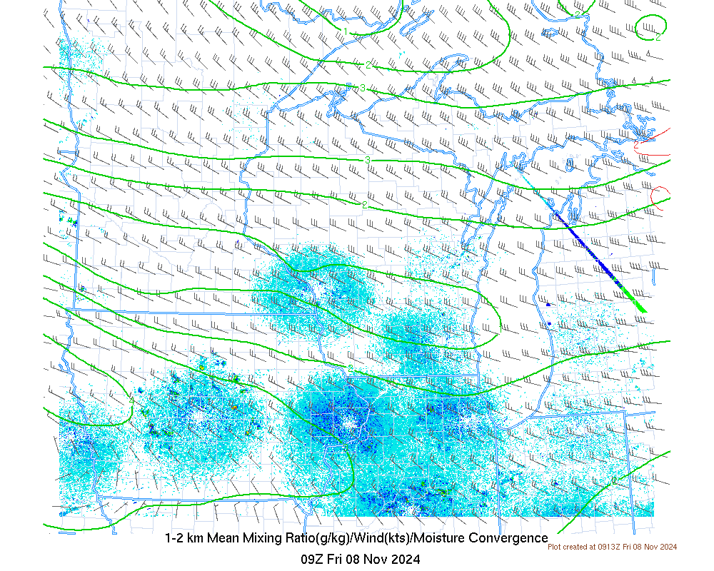 |
Precipitable Water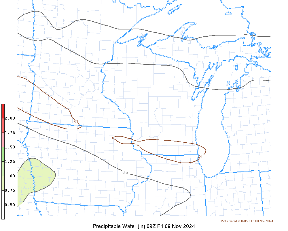 |
|
| Upper Air and Diagnostics | |
200 mb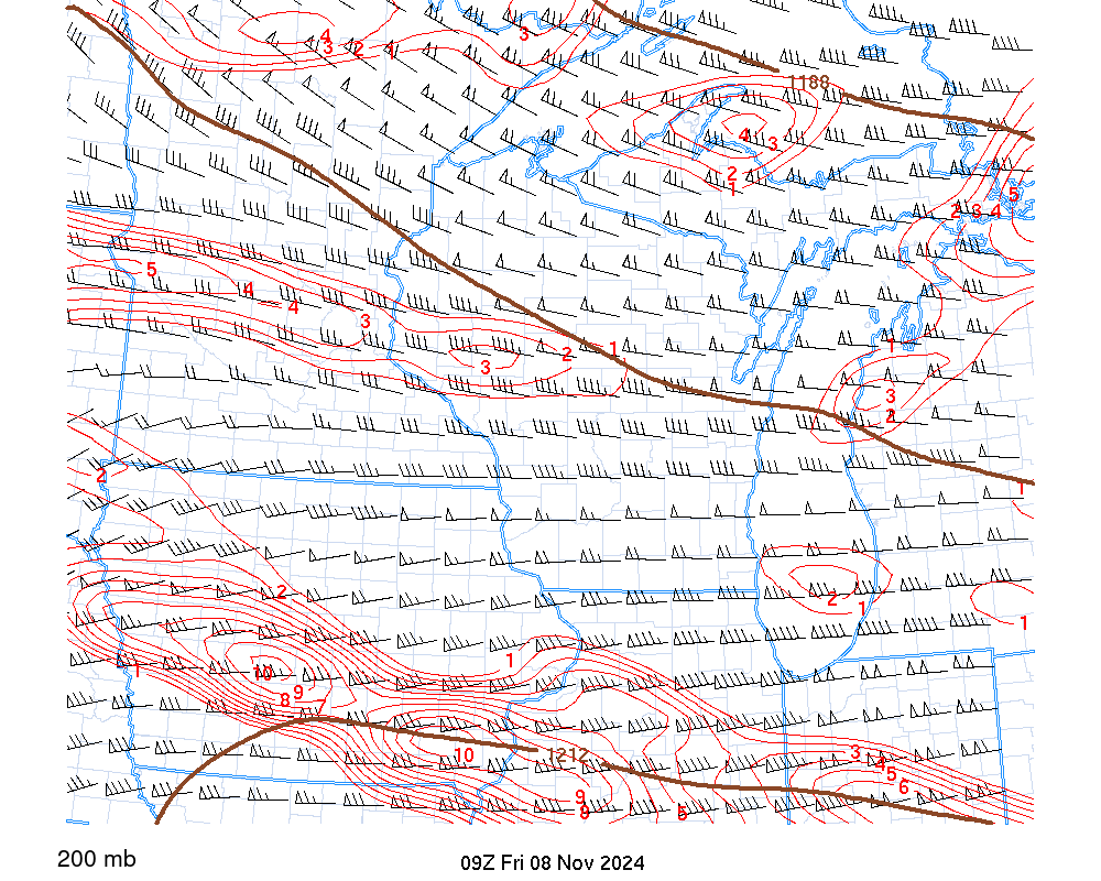 |
250 mb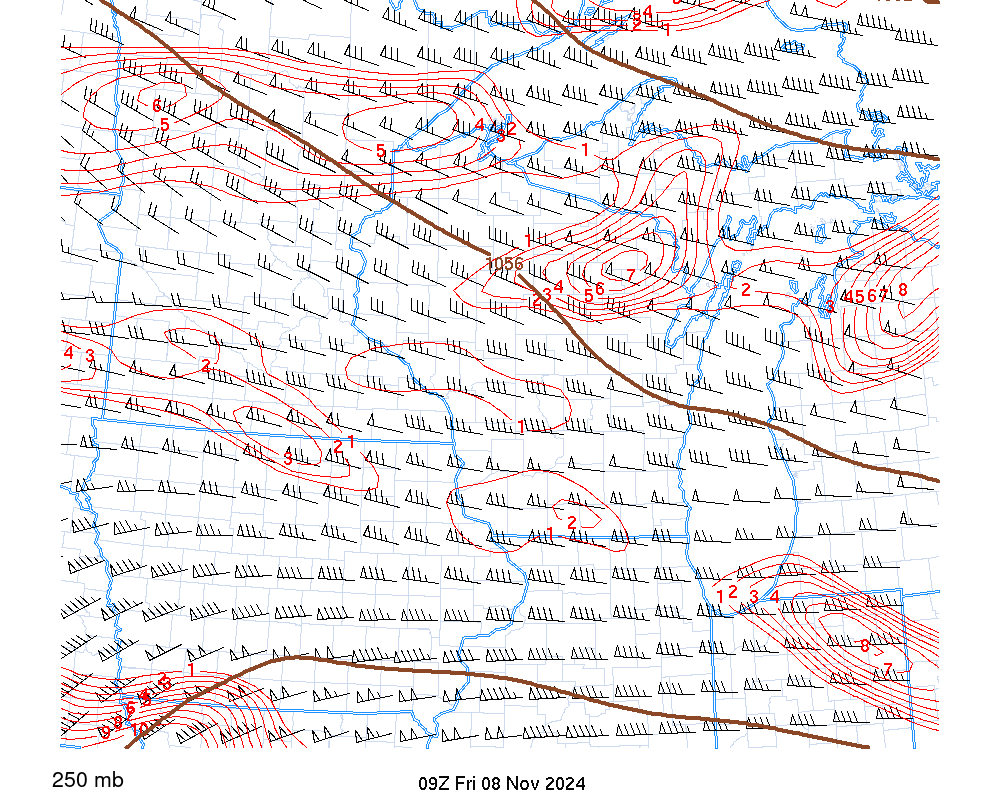 |
300 mb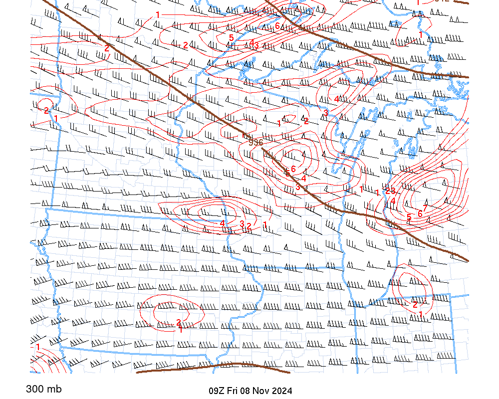 |
500 mb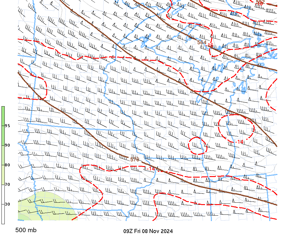 |
700 mb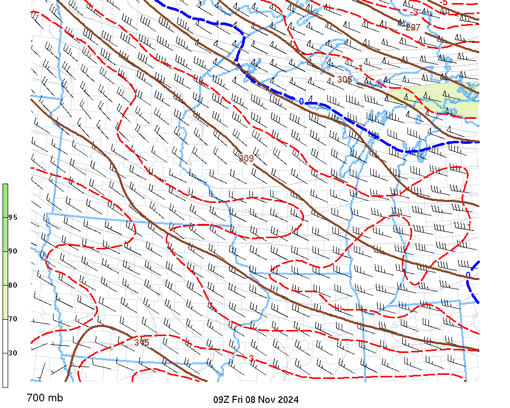 |
850 mb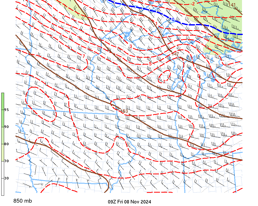 |
925 mb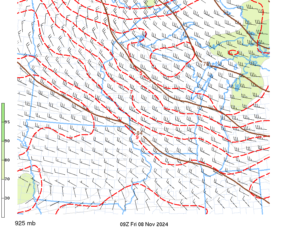 |
Deep Omega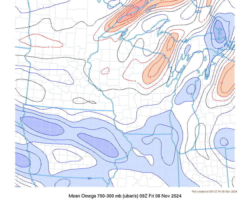 |
QG Forcing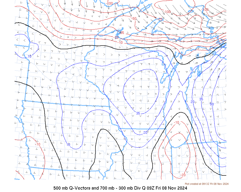 |
Frontogenesis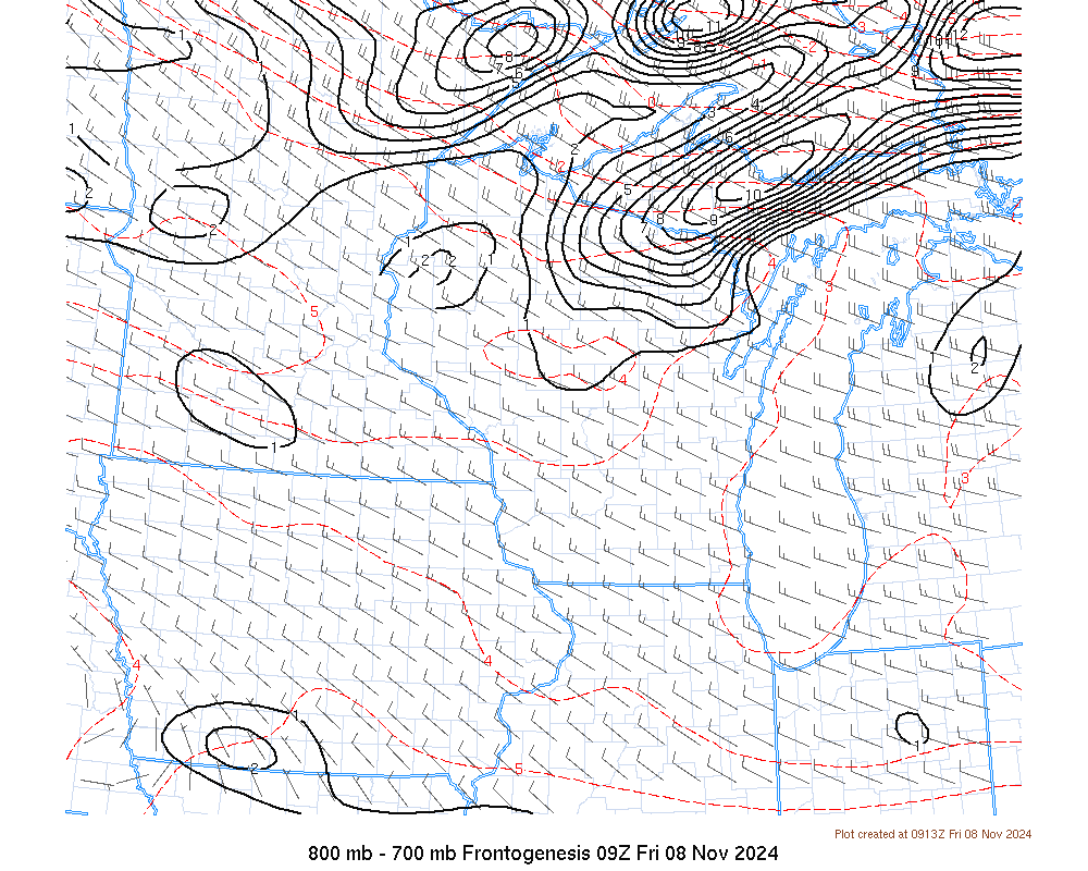 |
| Winter Graphics - Help | |
Critical Thickness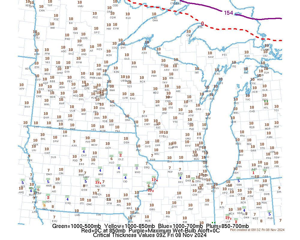 |
Lakes' Delta-T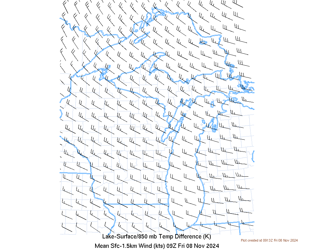 |
Snow Squall Parameter (Experimental)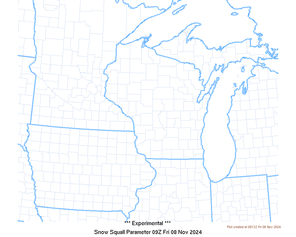 |
|
US Dept of Commerce
National Oceanic and Atmospheric Administration
National Weather Service
Green Bay, WI
2485 South Point Road
Green Bay, WI 54313-5522
920-494-2363
Comments? Questions? Please Contact Us.

