National Weather Service United States Department of Commerce
Click a location below for detailed forecast.

Last Map Update: Sat, May 17, 2025 at 3:32:16 pm CDT

There is a marginal (level 1 of 5) risk for severe weather late Saturday afternoon into Saturday evening for the southern half of Central Alabama. This is a conditional risk and will be dependent on the overall coverage from the morning showers and storms. Damaging winds and large hail are the main concerns.
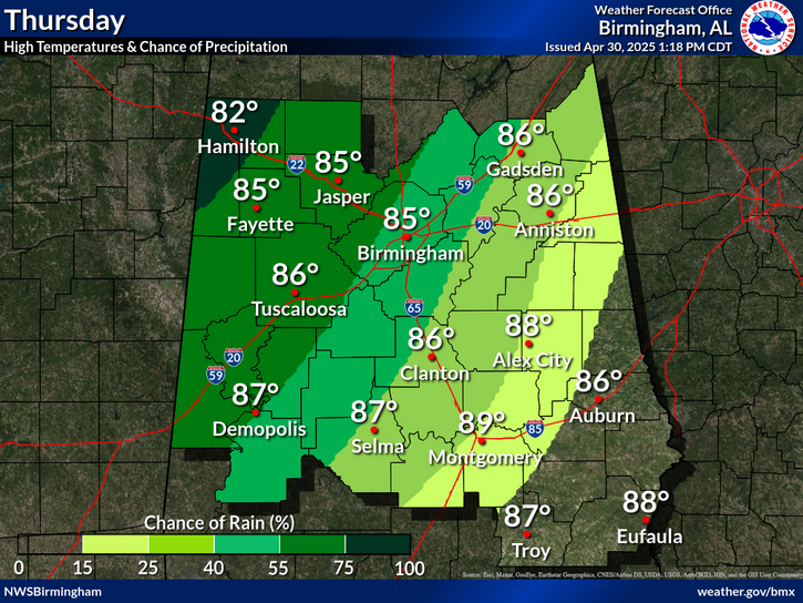
Shower and thunderstorms will be ongoing after sunrise across areas mainly south of Birmingham before gradually dissipating. Redevelopment is likely in central and southern counties this afternoon/evening. Afternoon high temperatures will be in the upper 80s to near 90.
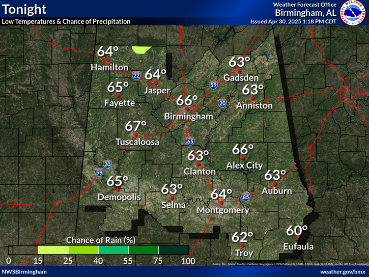
Rain and thunderstorms are possible tonight, with the best chance across the northwestern counties. Overnight low temperatures will be in the mid 60s to the low 70s.
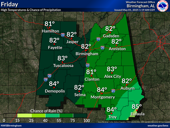
Sunday will see another chance for showers and thunderstorms across the area, with best chances across the northern half of the area. Daytime high temperatures will be in the upper 80s to the low 90s.

 
Current Observations ( )
Location Sky/Weather Temp (°F) Dewpt (°F) RH (%) Wind (mph) Pressure (inHg) Remarks
 Alexander City
N/A
N/A
N/A
N/A
N/A
N/A
N/A
 Anniston
N/A
N/A
N/A
N/A
N/A
N/A
N/A
 Auburn
N/A
N/A
N/A
N/A
N/A
N/A
N/A
 Bessemer
N/A
N/A
N/A
N/A
N/A
N/A
N/A
 Birmingham
N/A
N/A
N/A
N/A
N/A
N/A
N/A
 Demopolis
N/A
N/A
N/A
N/A
N/A
N/A
N/A
 Eufaula
N/A
N/A
N/A
N/A
N/A
N/A
N/A
 Gadsden
N/A
N/A
N/A
N/A
N/A
N/A
N/A
 Haleyville
N/A
N/A
N/A
N/A
N/A
N/A
N/A
 Jasper
N/A
N/A
N/A
N/A
N/A
N/A
N/A
 Montgomery
N/A
N/A
N/A
N/A
N/A
N/A
N/A
 Pell City
N/A
N/A
N/A
N/A
N/A
N/A
N/A
 Prattville
N/A
N/A
N/A
N/A
N/A
N/A
N/A
 Selma
N/A
N/A
N/A
N/A
N/A
N/A
N/A
 Shelby Co Airport
N/A
N/A
N/A
N/A
N/A
N/A
N/A
 Sylacauga
N/A
N/A
N/A
N/A
N/A
N/A
N/A
 Talladega
N/A
N/A
N/A
N/A
N/A
N/A
N/A
 Troy
N/A
N/A
N/A
N/A
N/A
N/A
N/A
 Tuscaloosa
N/A
N/A
N/A
N/A
N/A
N/A
N/A
Note: "N/A" or "MISG" will be displayed if values are not available. In the LOCATION column, click on links for a list of recent observations at sites of interest. In the WIND column, VRB is "variable" and G is "gust". In the REMARKS column, HX is "heat index", WCI is "wind chill index", and VSB is "visibility" (if shown).
 
Text Product Selector (Selected product opens in current window)
 
Rainfall Plots Observations Discussion Satellite Climate Storm Reports
 
Hourly Forecast Gridded Forecast Fire Weather Hydrology Aviation Air Quality
 
Tropical Winter SKYWARN GIS Past Events Tornado Database
 
Social Media Videos with ASL   Previsión de 7 Días Conciencia y Preparación Recreational Forecast Wx Radio