National Weather Service United States Department of Commerce
Click a location below for detailed forecast.

Last Map Update: Thu, May 28, 2026 at 2:54:29 pm CDT

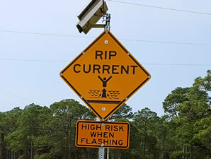
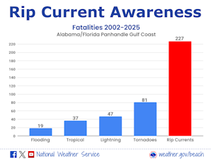
5-Day Rip Current Outlook for Coastal Alabama and Northwest Florida. For more information, go to weather.gov/beach/mob.
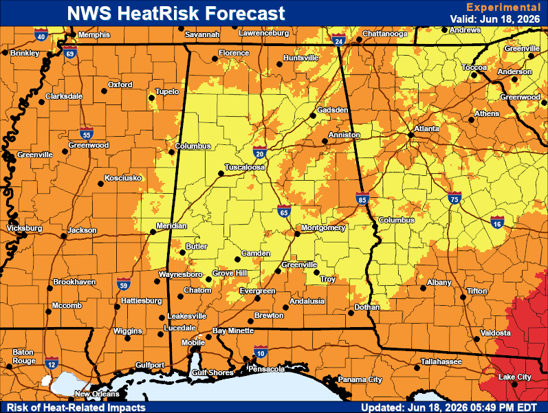
Scattered to numerous showers and storms are expected to develop again today across the region. Not everywhere will see rain as these will be hit-or-miss showers and storms over the next few days. High temperatures will rise into the mid to upper 80s through Friday with some 90s in the forecast by this weekend. Low temperatures along the coast will hover in the mid to upper 70s with temperatures falling into the low 70s to upper 60s across inland communities. Locally heavy rainfall is possible, and a couple spots across the area may pick up a quick 1-2 inches of rain where storms repeatedly move over the same locations. Patchy fog is possible in the pre-dawn hours each morning. For more information, visit our social media pages at Facebook and X pages or listen to a NOAA Weather Radio. Stay weather aware!
High Temperature & Rain Chance
Low Temperature & Rain Chance
High Temperature & Rain Chance for Tomorrow


Fast Access Product Selector

View the latest Local Storm Report
Submit a Storm Report


Forecaster's Discussion
Hour by Hour Forecast
Hourly Forecast
Graphical Forecast
Graphical Forecast
Weather Information Display
Weather Info Display
Satellite
Satellite
Social Media Feeds
Social Media
Wave Prediction
Wave Prediction
Tide Information
Tide Information
NOAA PORTS
NOAA PORTS®
Sea Surface Temperature
Beach Forecast
Beach and Surf
Tornado Museum
Tornado Museum