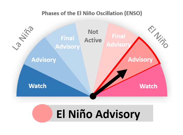
El Nino Possible Impacts & What you can do - English & Samoan Read More >
.PNG)
Forecast Information
The Coastal Waters Forecast is issued by WSO American Samoa. The High Seas Forecast for the South Pacific, which includes the waters around American Samoa is issued by WFO Honolulu.
Coastal Waters Forecast for American Samoa
Buoy Information
The Aunu'u buoy is owned and maintained by Pacific Islands Ocean Observing System (PacIOOS). The data is available on their website, as well as on the National Data Buoy Center website.
Aunu'u, American Samoa Buoy Information from PacIOOS
Aunu'u, American Samoa Buoy Information from National Data Buoy Center
King-Poloa, Tutuila, American Samoa Buoy Information from PacIOOS
King-Poloa, Tutuila, American Samoa Information from National Data Buoy Center
| Chart Name | Chart Times |
|---|---|
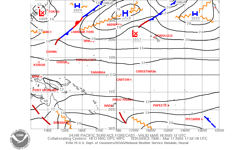
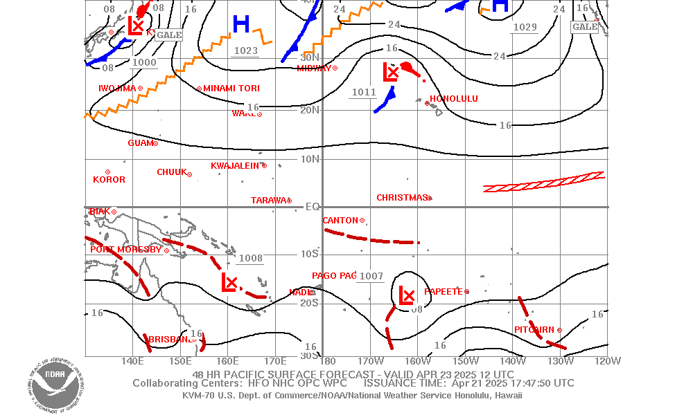
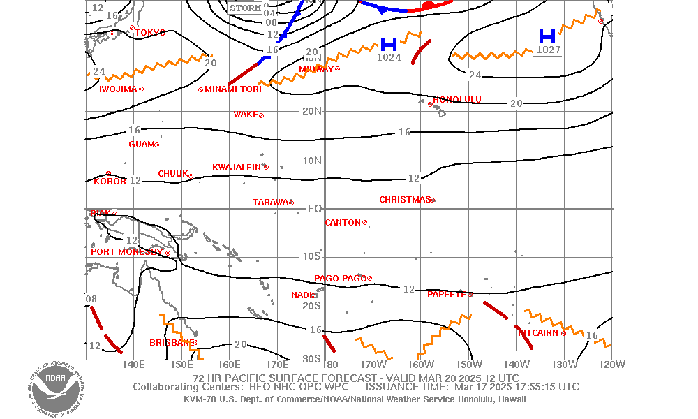
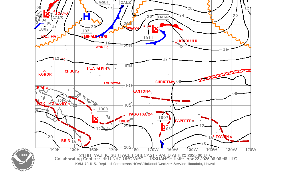
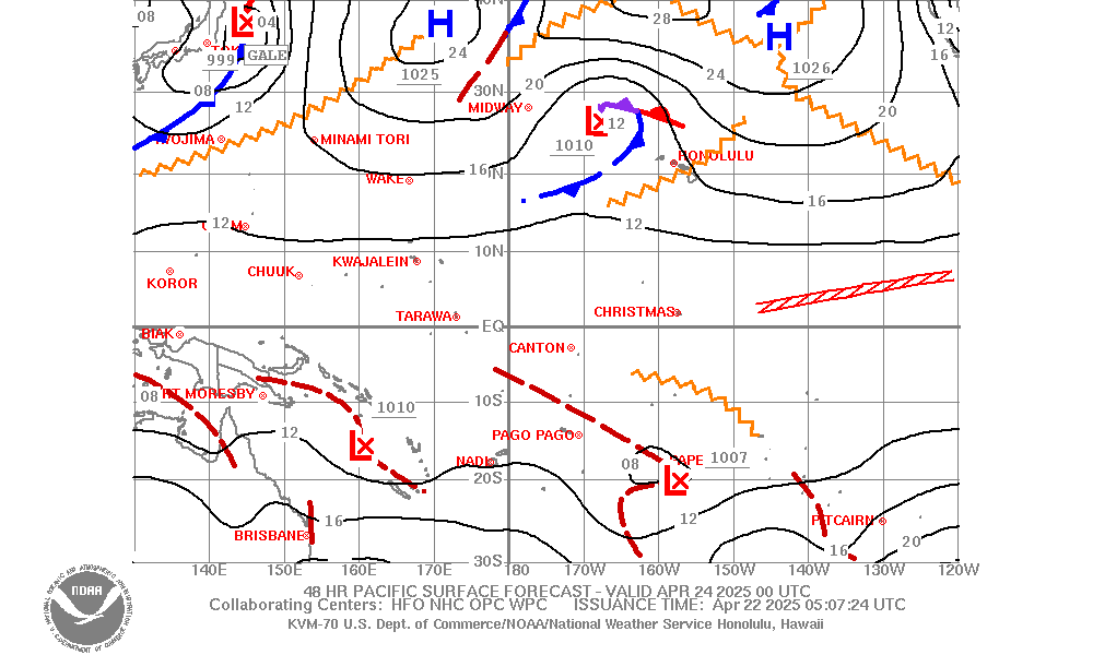
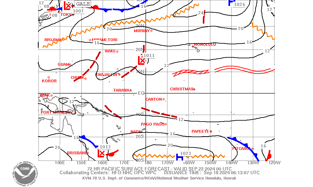
| Pacific Surface Forecast (130E-110W,30S-50N) |
12Z Charts: 24 hr 48 hr 72 hr 00Z Charts: 24 hr 48 hr 72 hr |
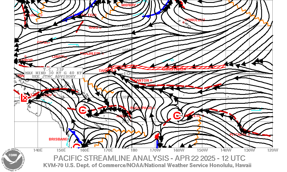
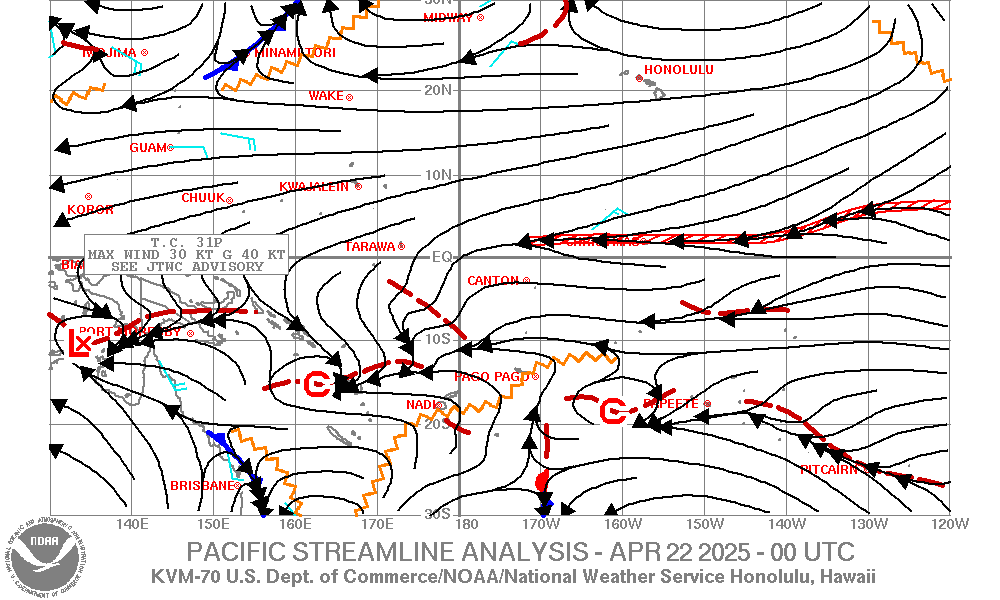
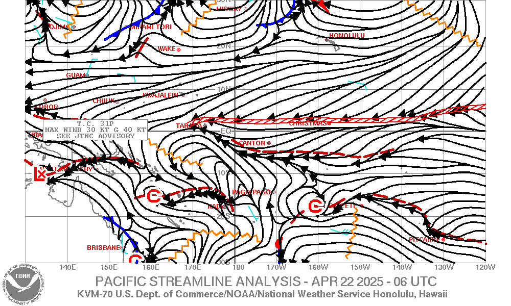
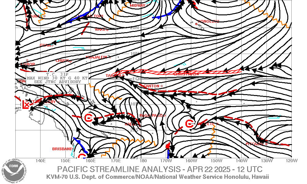
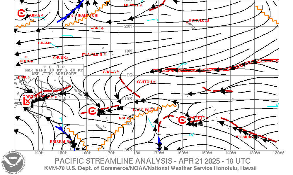
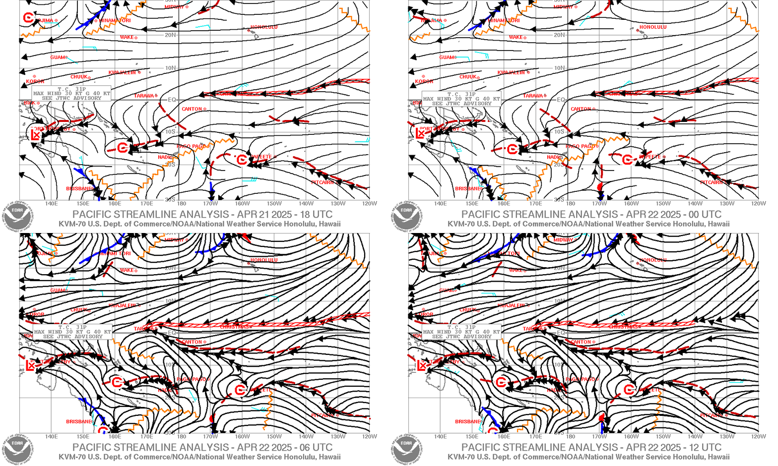
| Pacific Streamline Analysis (130E-110W,30S-30N) |
|
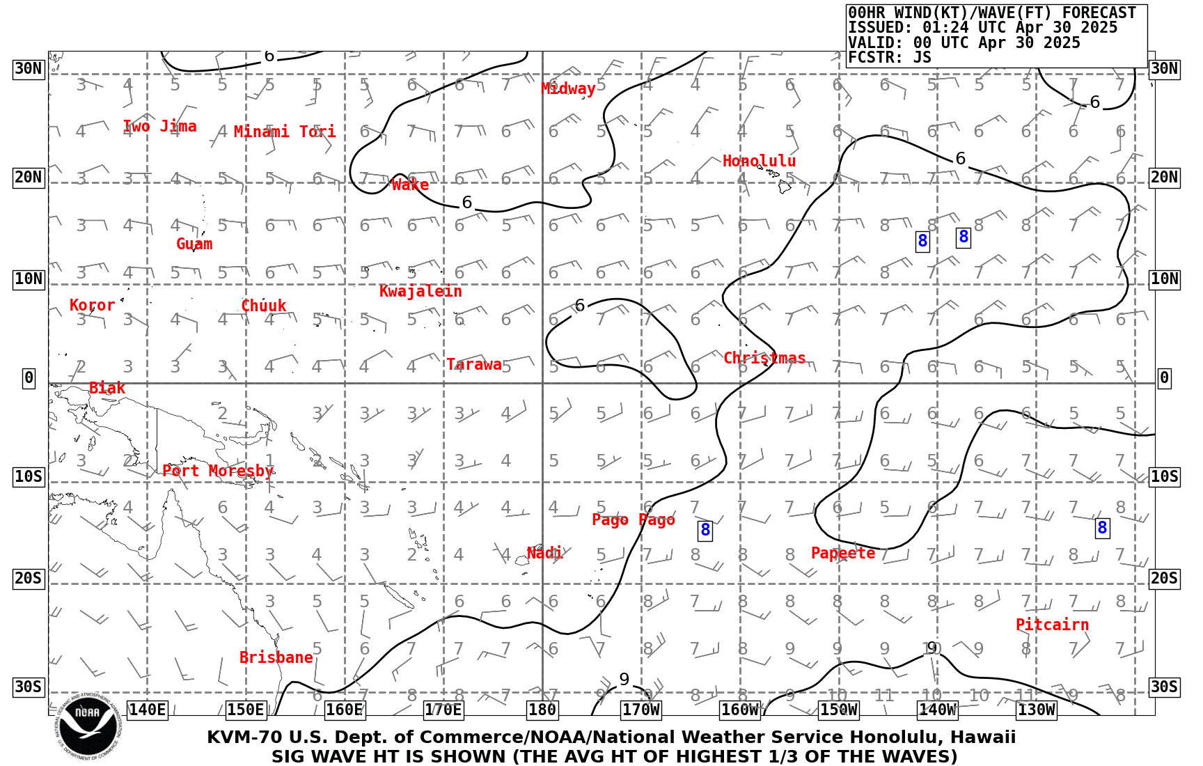
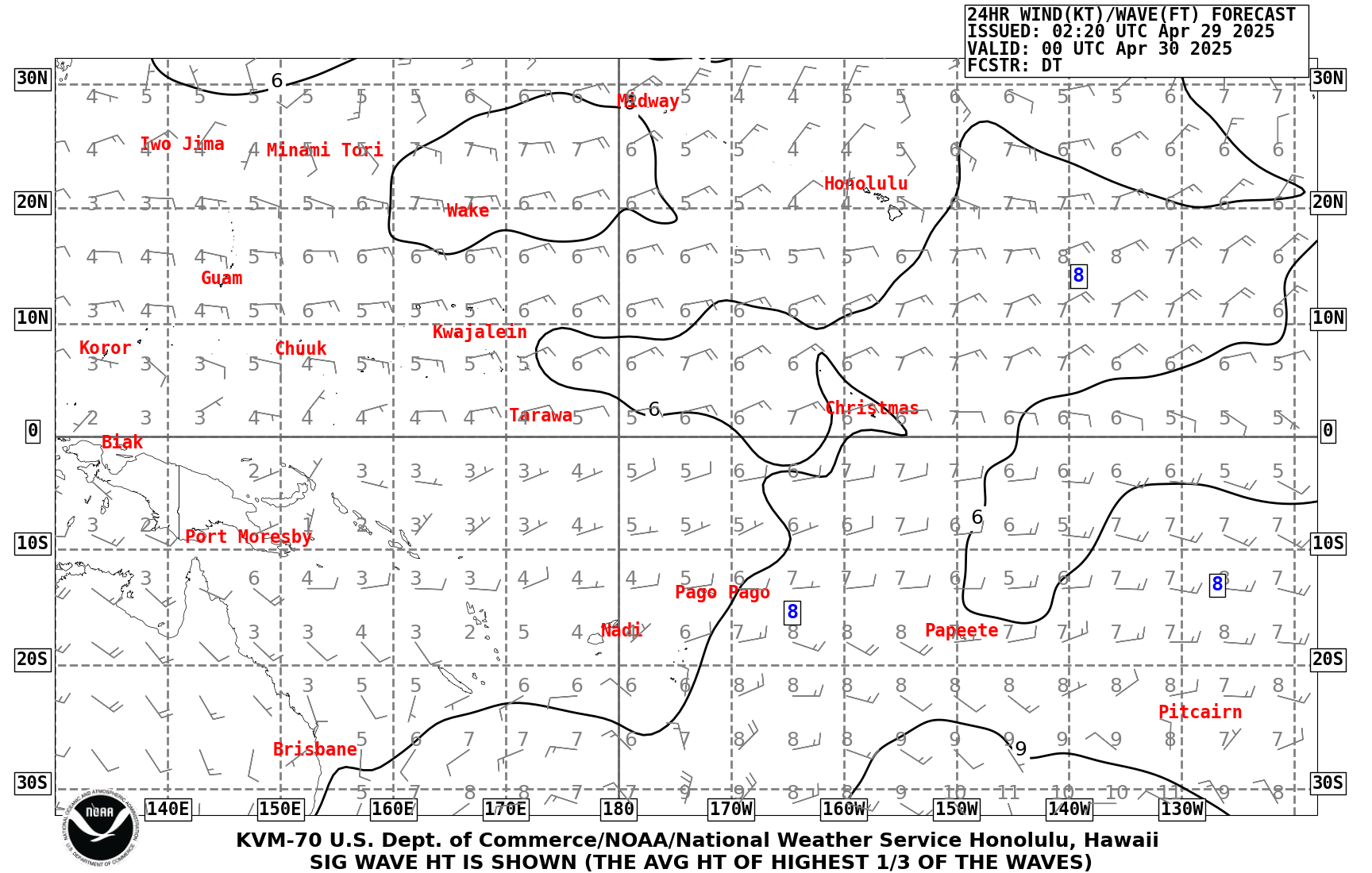
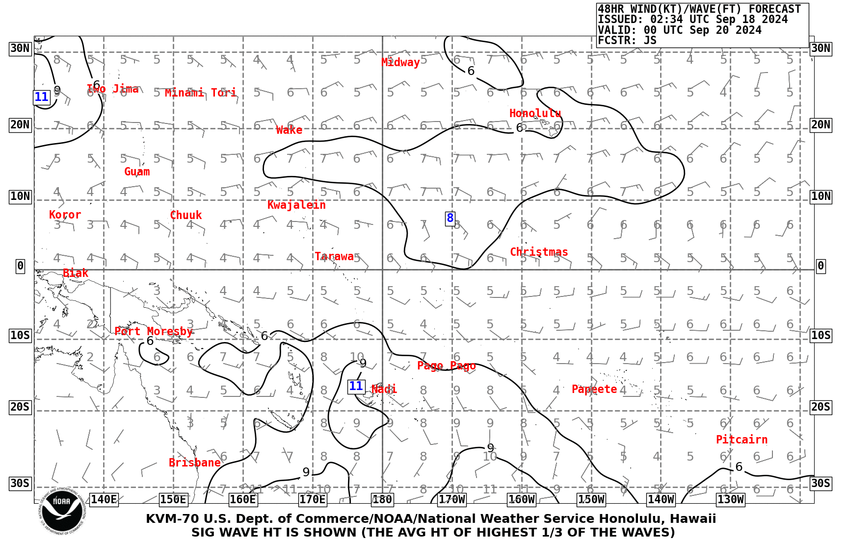
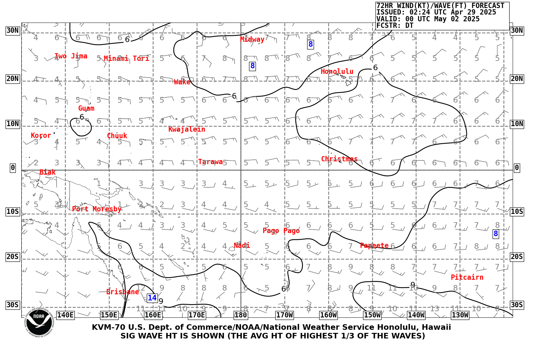
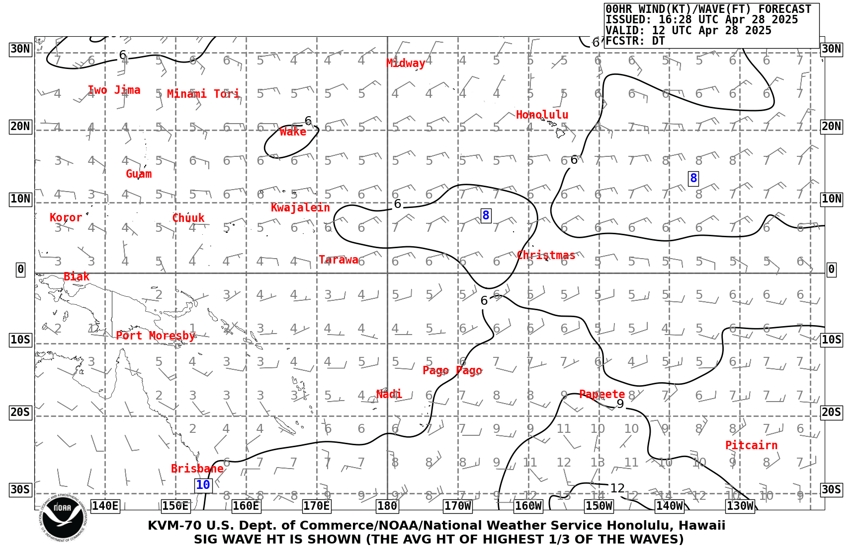
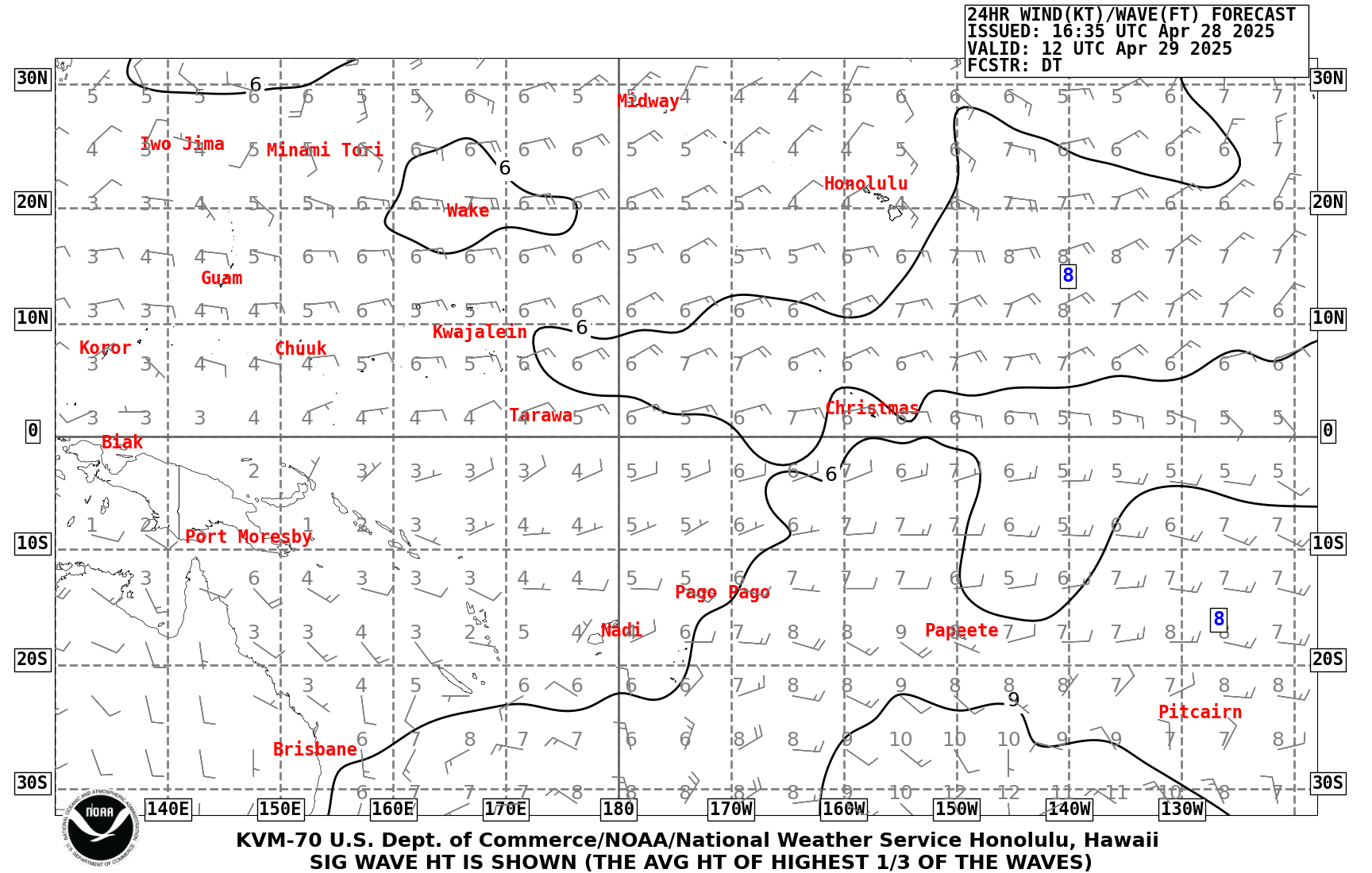
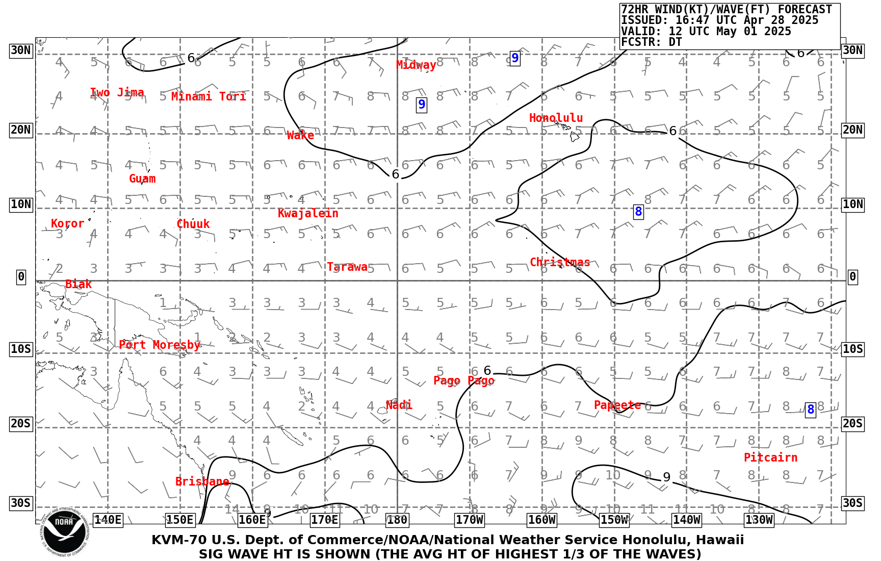
| Pacific Wind Wave Analysis and Forecasts |
00Z Charts: Analysis 24 hr 48 hr 72 hr |
Tidal Information
Tides for Pago Pago, American Samoa
Tides for Tau, Manua Islands, American Samoa
Interactive Map for Tidal Information




 mPING (Ripoti mai Tala o le Tau)
 Pacific Tsunami Warning Center (PTWC)
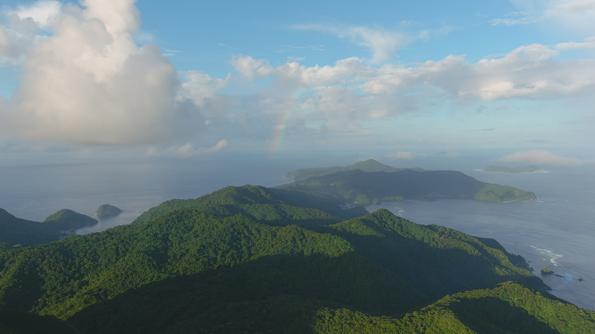 Previous 36hrs Airport Obs (Vaaiga o le Tau i le Malae Vaalele)
 Submit a Storm Report (Ripoti mai le Tau)
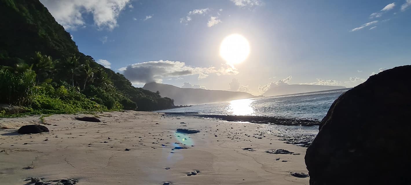 Sunrise/Sunset Info (Oso/Goto le La)
 Tides Info (Tala o le Tai)
 Follow us on X
 Follow us on Facebook
 PPG RSS Feed