
Heat expands across the Desert Southwest, Plains, Mississippi Valley and Midwest into Monday. Fire weather concerns continue for portions of the Intermountain West. Active monsoonal moisture fuels thunderstorms over the Southwest with possible flash flooding. Tropical cyclone Fausto in the Pacific, should weaken as it approaches Hawaii; Dangerous surf, swells and rip currents are expected. Read More >
.PNG)
365
FXZS60 NSTU 270002
AFDPPG
Area Forecast Discussion
National Weather Service Pago Pago AS
102 PM SST Sun Jul 26 2026
.Discussion...
Fair weather continues across the territory despite model
guidance suggesting an uptick in showers last night. Current
satellite data show a line of showers (associated with the trough
from yesterday`s forecast) still anchored southwest of the Samoa
Islands. There appears to be a delay in the trough`s movement
over the islands. However, the latest model data suggest the line
of showers will finally move into the area overnight. Hence,
scattered showers will be in tonight`s forecast, becoming numerous
overnight through Monday. Also, winds will continue to be light
and variable.
By Monday afternoon, a high pressure system building near New
Zealand is expected to push the showers farther north. However,
moisture from this feature may be embedded within building trade
winds associated with the high pressure. Expect numerous showers
through midweek, becoming scattered thereafter, while breezy winds
persist through the weekend.
&&
.Marine...
Wave heights observed at the PacIOOS buoys continue to range from 6
to 7 feet, just shy of the Small Craft Advisory criteria of 8
feet. Seas are forecast to diminish further tonight as winds
become light and variable. However, a south swell with a peak
period around 13 seconds suggests that strong rip currents
persist in the area, even though surf has fallen below the High
Surf Advisory criteria of 10 feet. Expect ideal ocean conditions
to be brief, possibly lasting through Tuesday before trade winds
strengthen Tuesday afternoon. Rough ocean conditions and high
surf are expected to remain through the end of the week.
.PPG WATCHES/WARNINGS/ADVISORIES...
None
&&
$$
TM


 mPING (Ripoti mai Tala o le Tau)
 Pacific Tsunami Warning Center (PTWC)
 Previous 36hrs Airport Obs (Vaaiga o le Tau i le Malae Vaalele)
 Submit a Storm Report (Ripoti mai le Tau)
 Sunrise/Sunset Info (Oso/Goto le La)
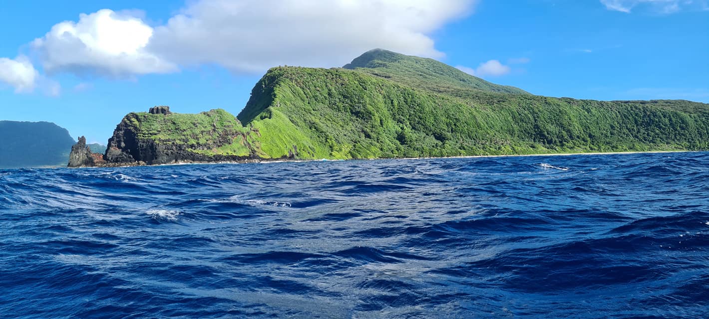 Tides Info (Tala o le Tai)