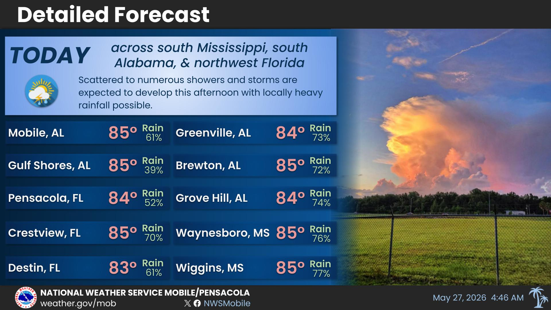
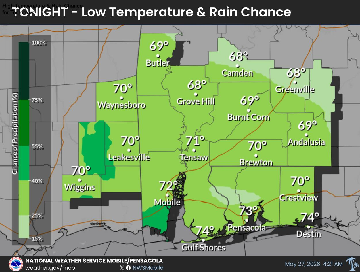
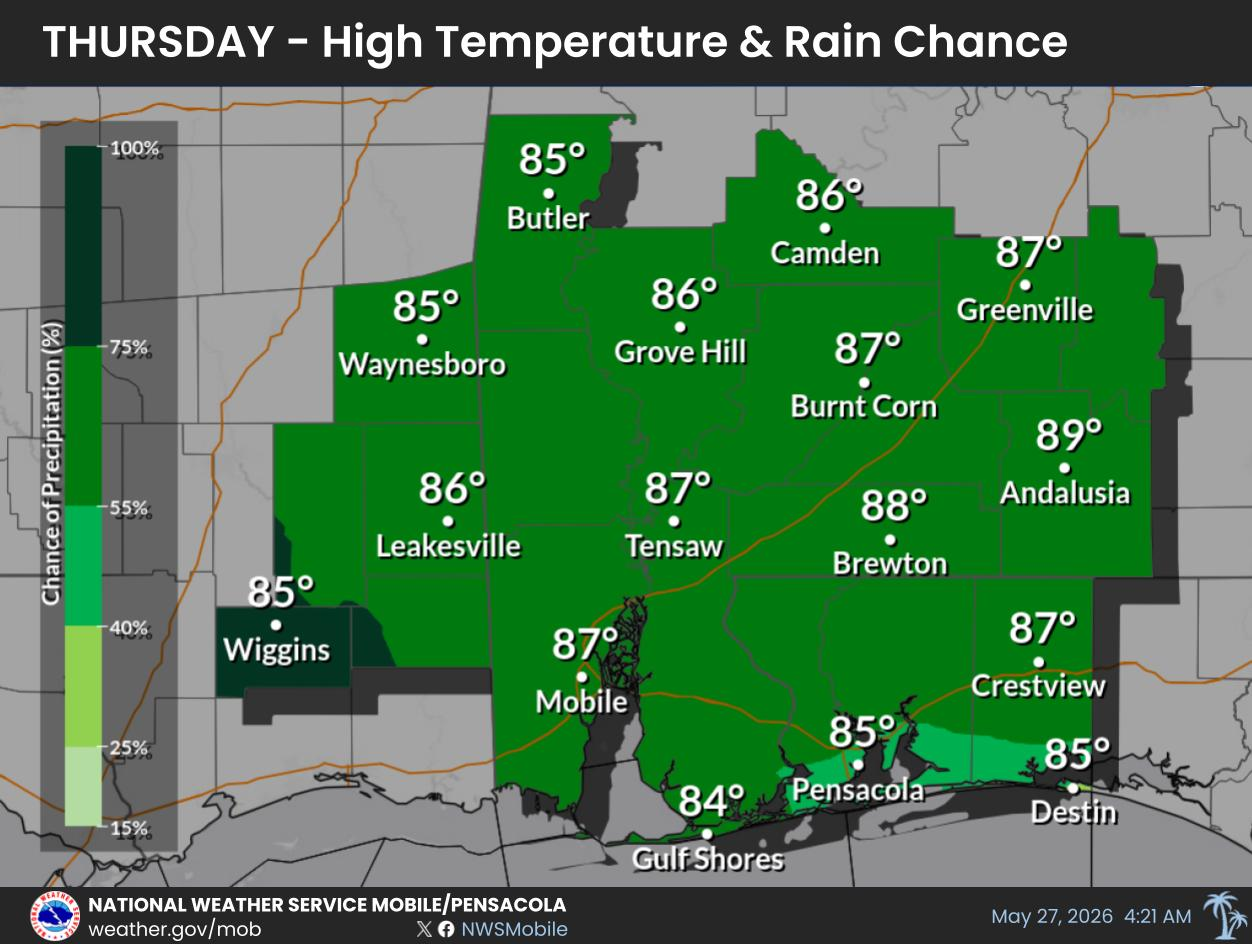
Multiple rounds of showers and storms are expected to impact the local area over the coming days. These storms will be capable of producing heavy rainfall which could lead to flooding concerns.
For more information, visit our social media pages at
Facebook and
X pages or listen to a NOAA Weather Radio. Stay weather aware!


 Local Radar
 Weather Map
 Satellite Imagery
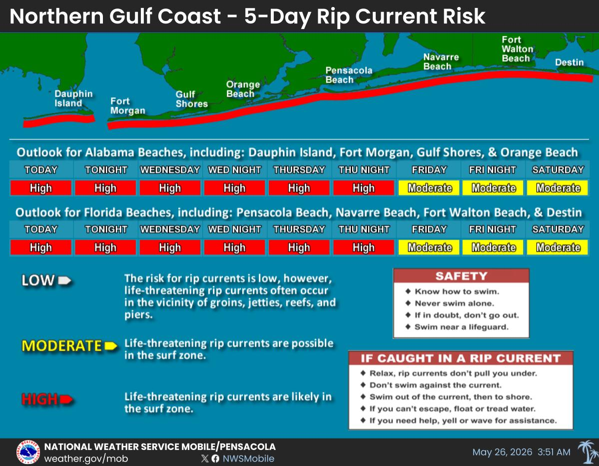
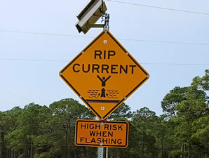 Beach and Surf
 Local Forecast Maps