Coastal Waters ForecastNWS New Orleans
|
Coastal Waters ForecastNWS Mobile
|
Coastal Waters ForecastNWS Tallahassee
|
| Lake Pontchartrain & Lake Maurepas |
North Mobile Bay |
St. Andrews Bay Waterways |
| Lake Borgne |
South Mobile Bay |
Eastern Choctawhatchee Bay |
| Mississippi Sound |
Mississippi Sound Alabama |
Okaloosa-Walton Line to Mexico Beachout 20 NM |
| Chandeleur Sound |
Perdido Bay Area |
Okaloosa-Walton Line to Mexico Beachfrom 20 to 60 NM |
| Breton Sound |
Pensacola Bay Area including Santa Rosa Sound |
Mexico Beach to Apalachicolaout 20 NM |
| Port Fourchon to Lower Atchafalaya Riverout 20 NM |
Western Choctawhatchee Bay |
Mexico Beach to Apalachicola from 20 to 60 NM |
| Port Fourchon to Lower Atchafalaya Riverfrom 20 to 60 NM |
Pensacola to Pascagoula out to 20 NM |
Ochlockonee River to Apalachicolaout 20 NM |
| SW Pass of the MS River to Port Fourchon out 20 NM |
Pensacola to Pascagoulafrom 20 to 60 NM |
Suwannee River to Apalachicolafrom 20 to 60 NM |
| SW Pass of the MS River to Port Fourchon from 20 to 60 NM |
Okaloosa-Walton Line to Pensacolaout 20 NM |
Apalachee Bay or Keaton Beach to Ochlockonee River Fl out to 20 NM |
| Boothville to SW Pass of the MS Riverout 20 nm |
Okaloosa-Walton Line to Pensacolafrom 20 to 60 NM |
Suwannee River to Keaton Beachout 20 NM |
| Stake Island to SW Pass of the MS Riverfrom 20 to 60 NM |
|
|
| Pascagoula MS to Stake Islandout 20 NM |
Other Marine Forecasts from the NWS |
North Central Gulf Offshore Waters |
| Pascagoula MS to Stake Islandfrom 20 to 60 NM |
|
NE Gulf N of 26N E of 87W |
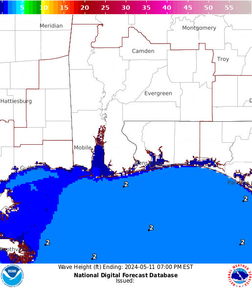
Click on the map below for the point forecast or on the links above for the zone forecast. |
| Please Note: Being a forecast for a single point, the point forecast is very specific and mariners should also be aware of weather conditions in the surrounding area. Forecast information for the surrounding area can be found within the zone forecast and the NDFD graphics. Be aware, the forecast conditions at a particular point may not exceed the criteria of a Small Craft Advisory, Gale, Storm etc. These watches/warnings/advisories are issued for the entire zone in which the point resides and mariners should act accordingly. |
Tide Information: Forecasts • Observations • Tide Report Text Product
|


 Observations

