National Weather Service United States Department of Commerce

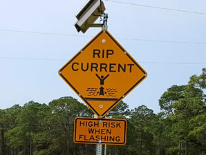
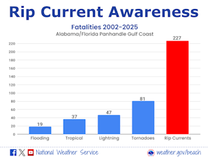
5-Day Rip Current Outlook for Coastal Alabama and Northwest Florida. For more information, go to weather.gov/beach/mob.
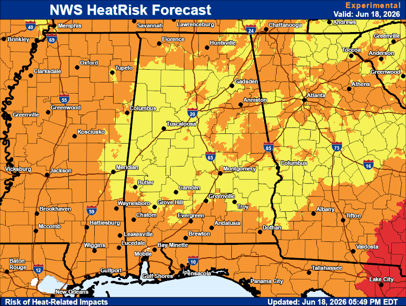
Very hot temperatures expected as we roll into the weekend and early next week. Daytime highs in the upper 90s to near 100 will impact the area with hottest temperatures settling in early next week. Heat indices will also be on the rise, posing a hazard to anyone spending prolonged periods outdoors. Drink plenty of fluids to stay hydrated and take frequent breaks! For more information, visit our social media pages at Facebook and X pages or listen to a NOAA Weather Radio. Stay weather aware!
The highs today at Mobile and Pensacola was 93. For comparison, the normal high for Mobile was 91 while at Pensacola the normal high was 92. For more information, visit our social media pages at Facebook and X pages or listen to a NOAA Weather Radio. Stay weather aware!
High Temperatures & Rain Chances for Today. For more information, visit our social media pages at Facebook and X pages or listen to a NOAA Weather Radio. Stay weather aware!
Low Temperatures & Rain Chances for Tonight. For more information, visit our social media pages at Facebook and X pages or listen to a NOAA Weather Radio. Stay weather aware!
High Temperatures & Rain Chances for Sunday. For more information, visit our social media pages at Facebook and X pages or listen to a NOAA Weather Radio. Stay weather aware!


Fast Access Product Selector

View the latest Local Storm Report
Submit a Storm Report


Forecaster's Discussion
Hour by Hour Forecast
Hourly Forecast
Graphical Forecast
Graphical Forecast
Weather Information Display
Weather Info Display
Satellite
Satellite
Social Media Feeds
Social Media
Wave Prediction
Wave Prediction
Tide Information
Tide Information
NOAA PORTS
NOAA PORTS®
Sea Surface Temperature
Beach Forecast
Beach and Surf
Tornado Museum
Tornado Museum