Dangerous to record breaking heat will build across the center of the nation and slowly build eastward this week. Wildfire conditions remain critical for the Southwest and portions of the Great Basin through Monday. For the northern Plains and upper Midwest, severe thunderstorms with the potential for large to very large hail and severe winds are the primary hazards. Read More >
Tornadoes 5 and 6:
Southern Logan County
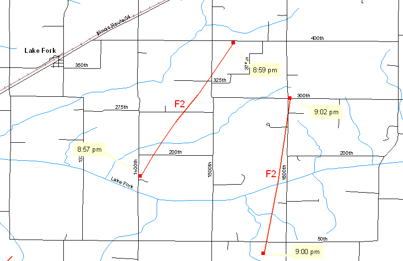
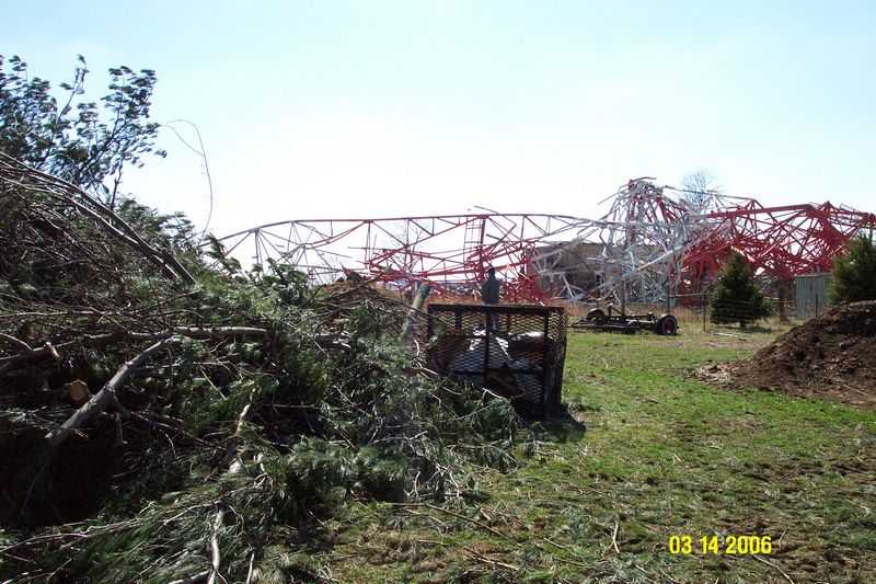
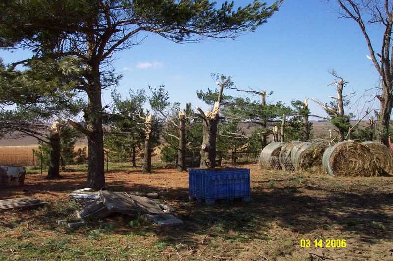
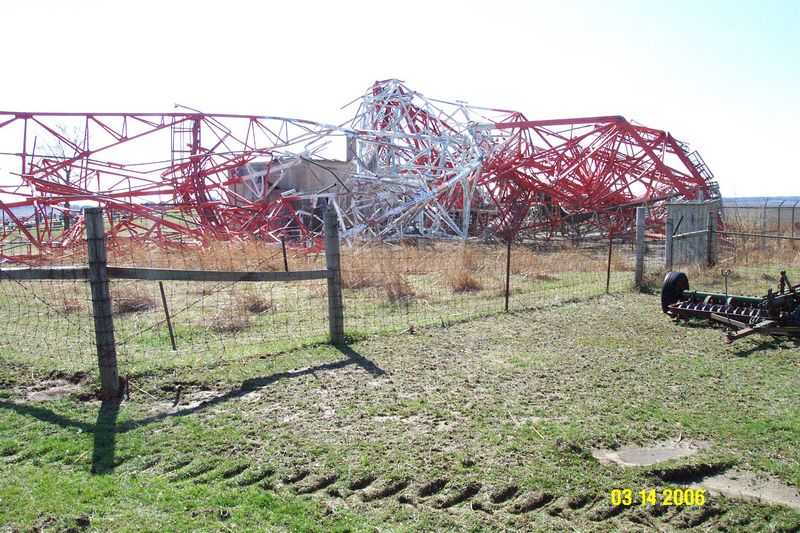
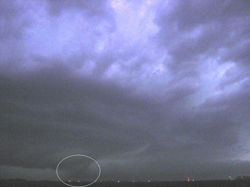
The next tornado in the outbreak was along the trajectory of the eastern Sangamon County tornado, but there was a break in the path. The new tornado touched down 2 miles southeast of Lake Fork at 8:57 PM, and was on the ground for 2.5 miles before lifting 2.5 miles southwest of Mt. Pulaski at 8:59 PM. The damage path was wider (1/2 mile) and of F2 intensity (120 mph). Damage from this tornado was similar to rural damage seen in Sangamon County, with numerous power poles snapped. In addition, a 400 foot microwave tower was toppled.
Another tornado was found in Logan County, east of the previous storm. The tornado tracked from the Logan/Sangamon County line, 6.25 miles south of Mt. Pulaski, to 3 miles south of Mt. Pulaski. The tornado was on the ground from 9:00 to 9:02 PM. This was rated at F2 intensity, with wind speeds around 120 mph, with a width of 200 yards. Path length was 3.5 miles. Damage from this tornado was similar to rural damage seen with earlier storms, including numerous power poles snapped. In addition, 3 or 4 large steel power poles were toppled.
Pictures (click images to enlarge):
|
|
|
|
|
|
|
|
Event Links: Overview | Long-Track Tornado | Springfield | Franklin/Loami | Eastern Sangamon
Southern Logan | Greene/Scott #2 | Logan/Macon | Macon/De Witt | Radar&Satellite