
The nor’easter will weaken tonight, easing beach conditions and coastal flooding, though locally heavy rain will continue in parts of the Mid-Atlantic and New England into Monday. Hurricane Nolo continues to bring strong winds and large waves to Hawaii. A multi-day rain event will return to the Four Corners region Monday and expand to the south-central U.S. by midweek. Read More >
|
|
|
|
|
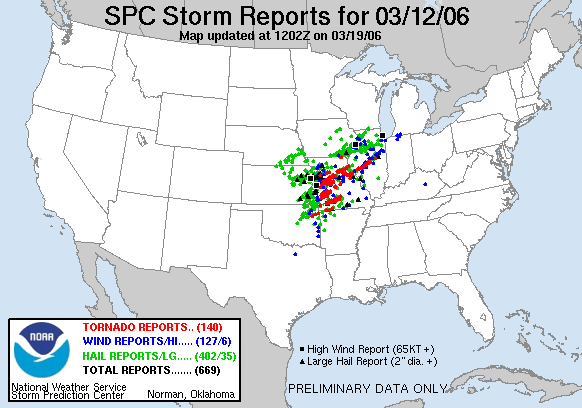
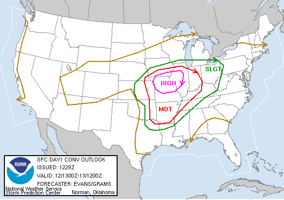
On March 12, 2006, an unusually long-tracked supercell thunderstorm moved across the central United States. It originated in northeast Oklahoma around midday, tracked across Kansas and Missouri during the afternoon and early evening, across Illinois during mid to late evening, and northern Indiana late evening into overnight, before finally dissipating in southern Michigan.
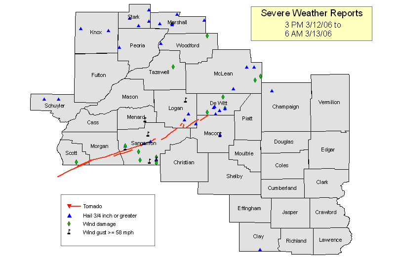
The National Weather Service in Lincoln issued tornado warnings for 24 counties, severe thunderstorm warnings for 27 counties, and 65 severe weather statements during the course of the event. Some of these occurred during thunderstorms which developed during the afternoon, but the vast majority occurred from about 7 PM Sunday to 6 AM Monday.
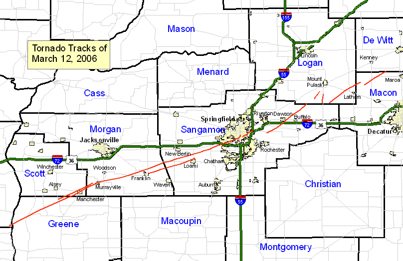
Analysis and storm surveys indicated 9 tornadoes occurred across the Lincoln county warning area (see area highlighted in the "Local Severe Weather Reports" map above). Several of these attained F2 intensity on the Fujita Scale. One of the tornadoes, which was the first one to affect Springfield, had a track of approximately 66 miles.
The 9 tornadoes are as follows (click on a link for more specific information:
In addition to these tornadoes, strong straight-line damaging winds were produced in other areas:
We also have links to an overview of radar and other weather observations during the event.


 Follow us on X
 Follow us on Facebook
 Follow us on YouTube
 ILX RSS Feed