Refresh the page for the latest updates.
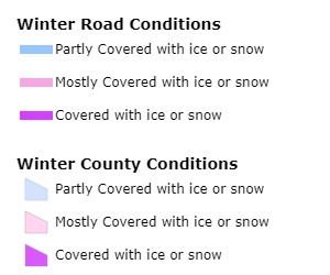
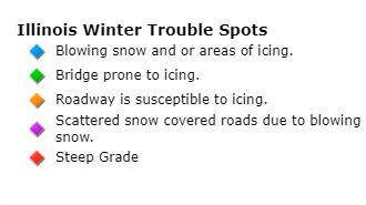
Road Conditions
Snow and Ice Forecasts
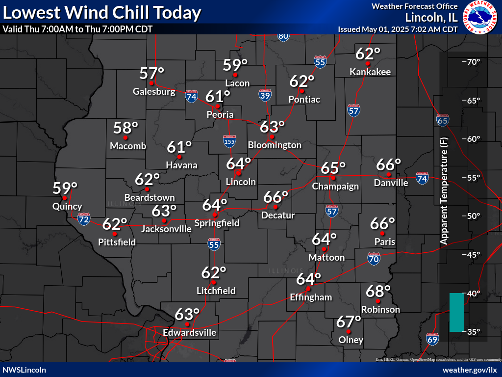
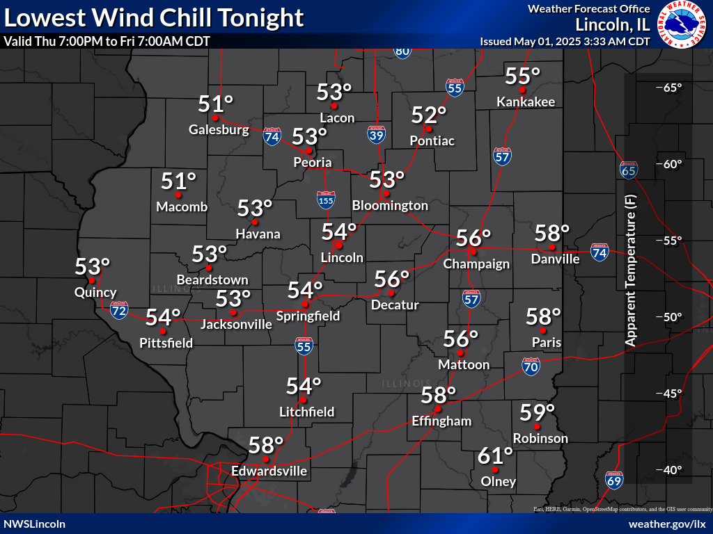
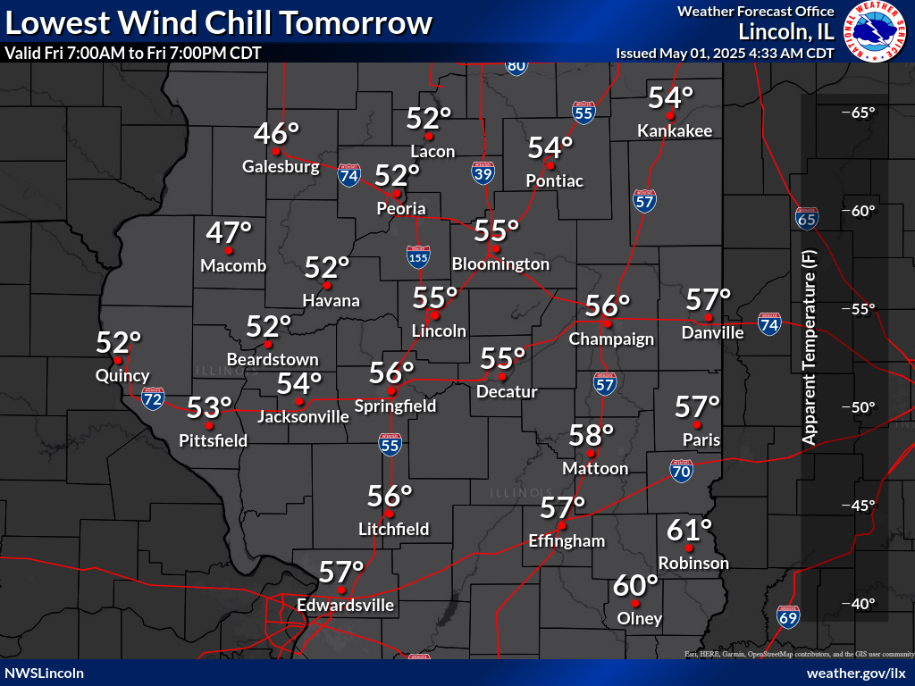
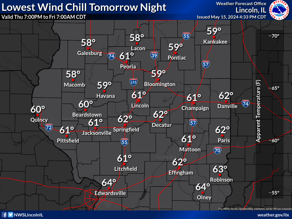
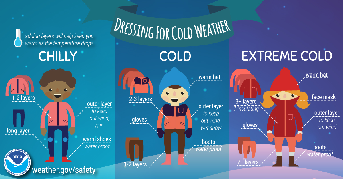
Wind Chill
Radar
Road conditions are collected by state Departments of Transportation. Detailed information can be obtained through the following phone numbers and web pages.
Midwest Road Conditions
Illinois
Indiana
1-800-261-7623
511 (within Indiana)
Mobile apps available for iOS and Android (check your app store, search for "Trafficwise")
DOT road report
Iowa
1-800-288-1047
511 (within Iowa)
Mobile apps available for iOS and Android (check your app store, search for "Iowa 511")
DOT road report
Missouri
Mobile apps available for iOS and Android (check your app store, search for "MoDOT")
DOT road report
Wisconsin
1-866-511-9472
511 (within Wisconsin)
Mobile apps available for iOS and Android (check your app store, search for "511 Wisconsin")
DOT road report
Kentucky
Information on expected snow and ice amounts: