|
A FEW SNOW REPORTS FROM SATURDAY EVENING INTO SUNDAY: Washington Island: 11.0" Some totals were reported while snow was still wrapping up, so final amounts may be slightly higher.
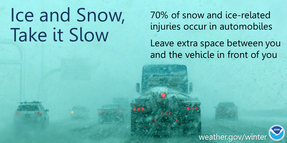
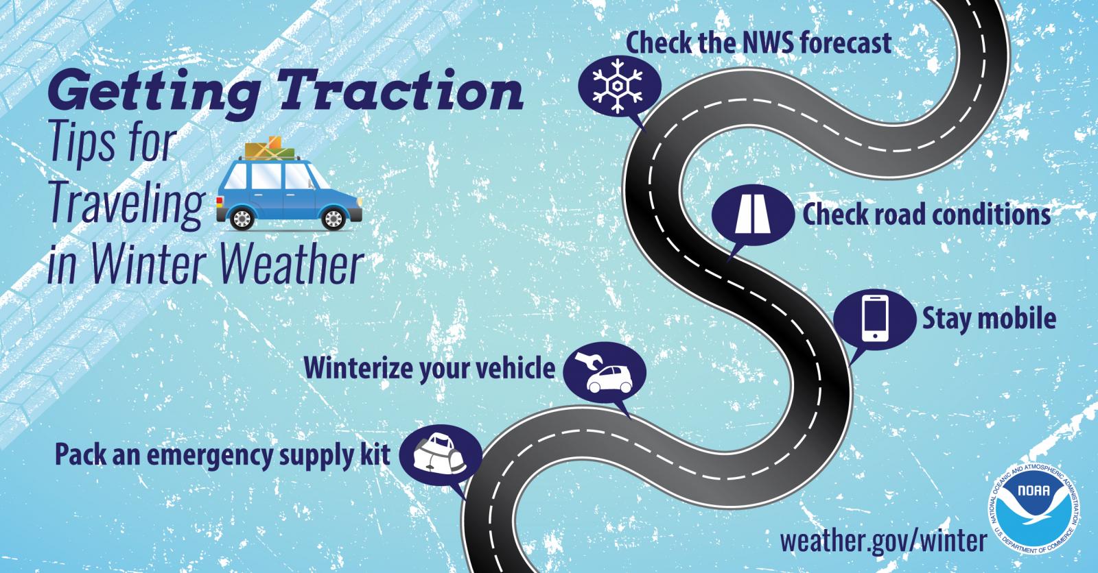
THIS EVENING: Lingering flurries and light snow across eastern Wisconsin will come to an end. Even though weather conditions will steadily improve, falling temperatures may allow water and slush to refreeze into black ice, particularly on untreated and secondary roads. Drive safely and slow down. Winds will also remain gusty through the evening, then begin to subside after midnight. A great way to monitor road conditions is by visiting the Wisconsin DOT site: https://511wi.gov/
CURRENT WEATHER HEADLINES: Regional map shows current weather headlines in effect. Note that if a county is under multiple weather headlines only the highest ranked one will display.
See tabs below for more information. Click on any image for a larger view. |
Snowfall Forecasts
|
Latest Snowfall Forecast |
|
Radar
 |
|
Snow / Road Reports
|
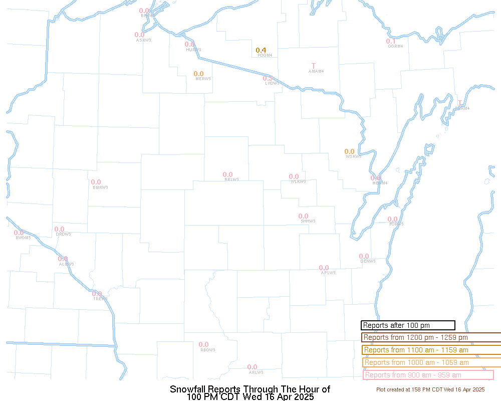
Latest Snowfall Reports |
For the latest Wisconsin road conditions, visit: |
|
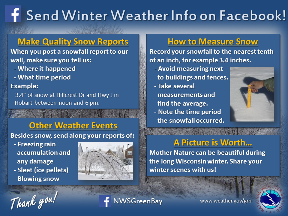
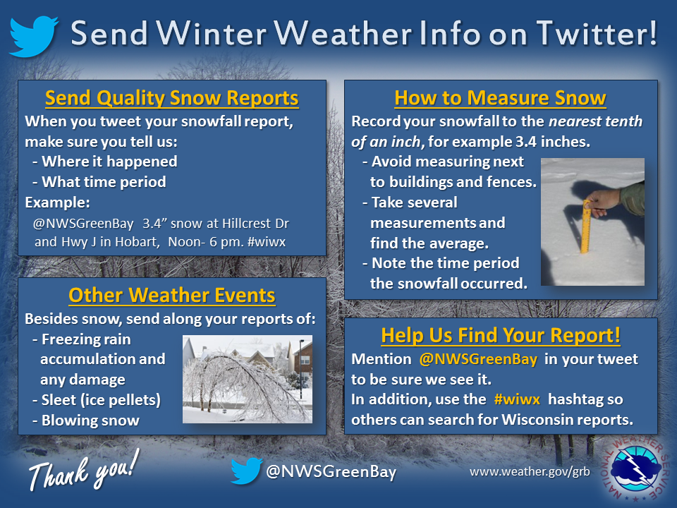
Send Us Your Report!
Please visit: http://www.weather.gov/grb/report to send us your weather report.
Weather Safety Information
| Winter Safety Info | ||
 |
 |
.png) |
|
|
|
|
 |
Media use of NWS Web News Stories is encouraged! Please acknowledge the NWS as the source of any news information accessed from this site. |
|