Snow Tapers Off, But Slippery Roads Remain
|
What: Snow-covered and slippery roads are likely to impact travel overnight. The bulk of the snow had weakened and moved east as of 9PM Monday evening. Additional accumulations through the night will be minor; however, lingering light snow showers combined with increasing winds and falling temperatures will still lead to slippery roads across the area.
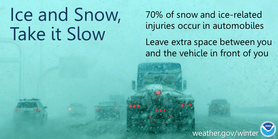
Impacts: Slippery roads, bridges, and sidewalks, especially secondary and untreated roads. A little drifting snow possible. Actions: Remember to slow down, keep extra distance between vehicles, and allow extra time to reach your destination.
See tabs below for more information. Click on any image for a larger view. |
Snowfall Forecasts
|
Latest Snowfall Forecast |
High End Amount Low End Amount
|
|
|
|
Radar
 |
|
Snow / Road Reports
|
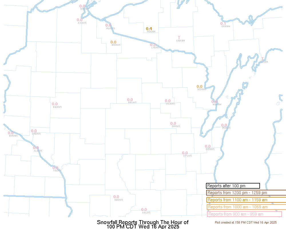
Latest Snowfall Reports |
For the latest Wisconsin road conditions, visit: |
|
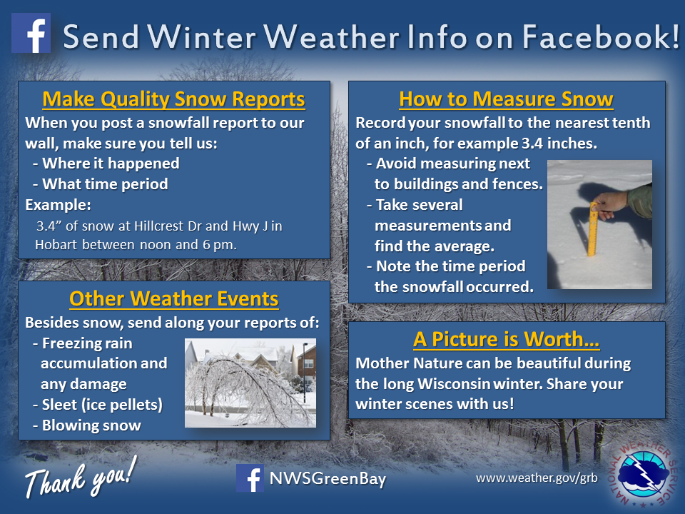
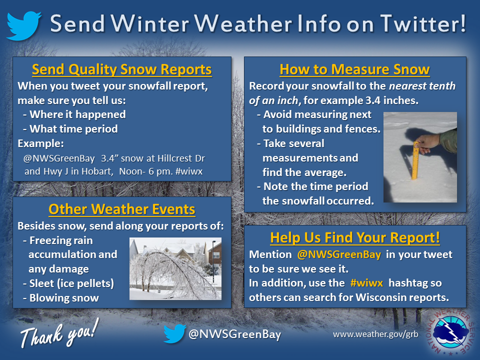
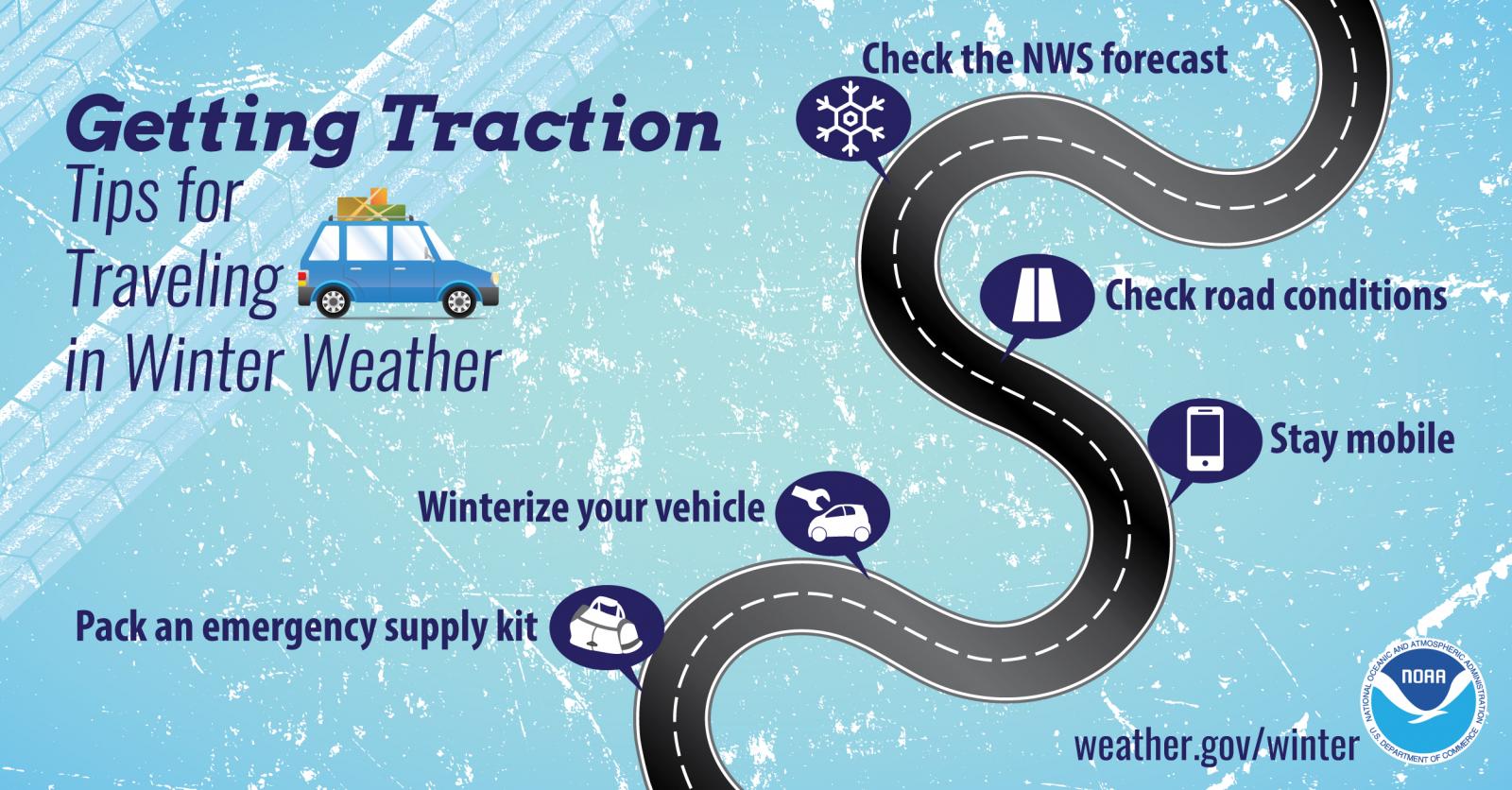
Weather Safety Information
| Winter Safety Info | ||
 |
 |
.png) |
|
|
|
|
 |
Media use of NWS Web News Stories is encouraged! Please acknowledge the NWS as the source of any news information accessed from this site. |
|