Green Bay, WI
Weather Forecast Office
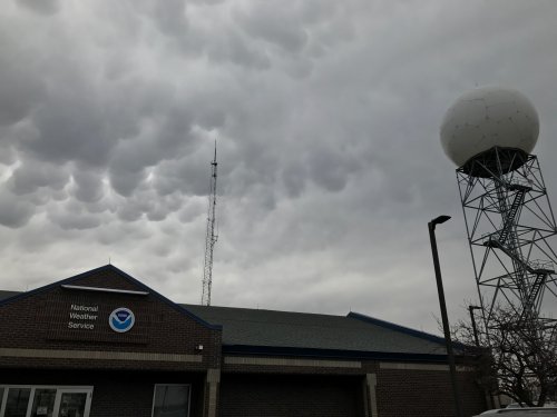
The NWS Green Bay radar (KGRB) is out of service at this time. Our technicians will attempt repairs Wednesday morning. Please see the surrounding radars below for radar data. We apologize for the inconvenience.
|
Here is the latest radar status message from NWS Green Bay: |
 |
Here are our surrounding local radar sites:
|
Duluth, MN |
Marquette, MI |
Minneapolis, MN |
|
|
 Milwaukee, WI Milwaukee, WI |
Here are the regional and national radar views:
Regional Radar Mosaics
 |
 |

US Dept of Commerce
National Oceanic and Atmospheric Administration
National Weather Service
Green Bay, WI
2485 South Point Road
Green Bay, WI 54313-5522
920-494-2363
Comments? Questions? Please Contact Us.


