Green Bay, WI
Weather Forecast Office
Accumulating Snow Ending This Morning
|
What: Snow will end from west to east this morning. Additional accumulations will be up to 2 inches, with storm total accumulations of 3 to 6 inches for most locations.
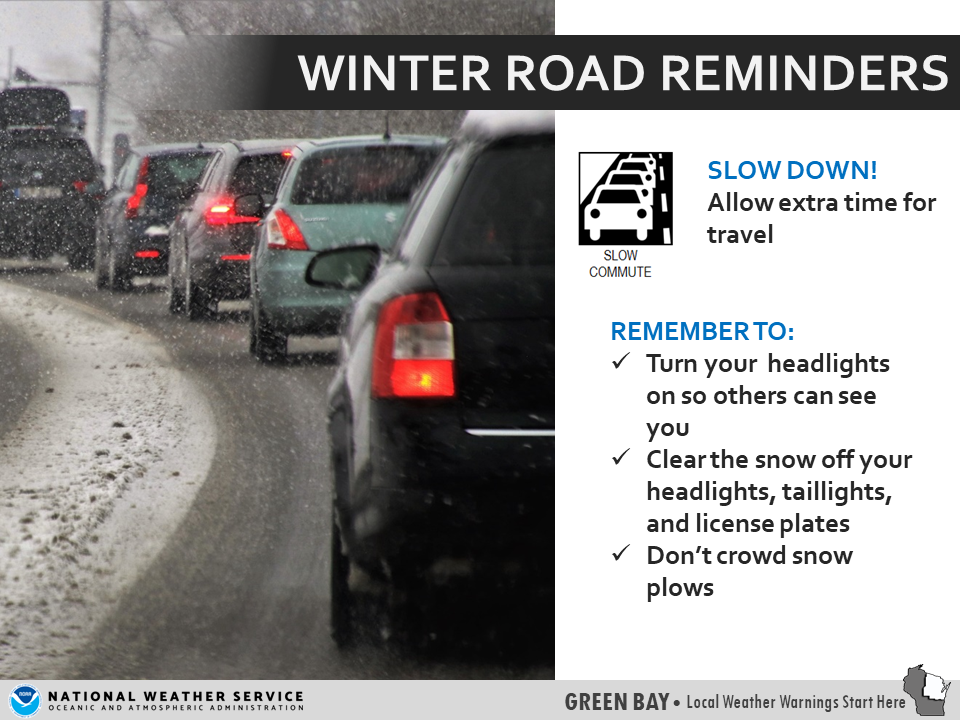
Impacts: Snow covered and slippery roads, bridges, and sidewalks. Very little blowing and drifting snow is expected. Actions: Remember to slow down, keep extra distance between vehicles, and allow extra time to reach your destination.
See tabs below for more information. Click on any image for a larger view. |
Snowfall Forecasts
|
Latest Snowfall Forecast |
|
Radar
 |
|
Snow / Road Reports
|
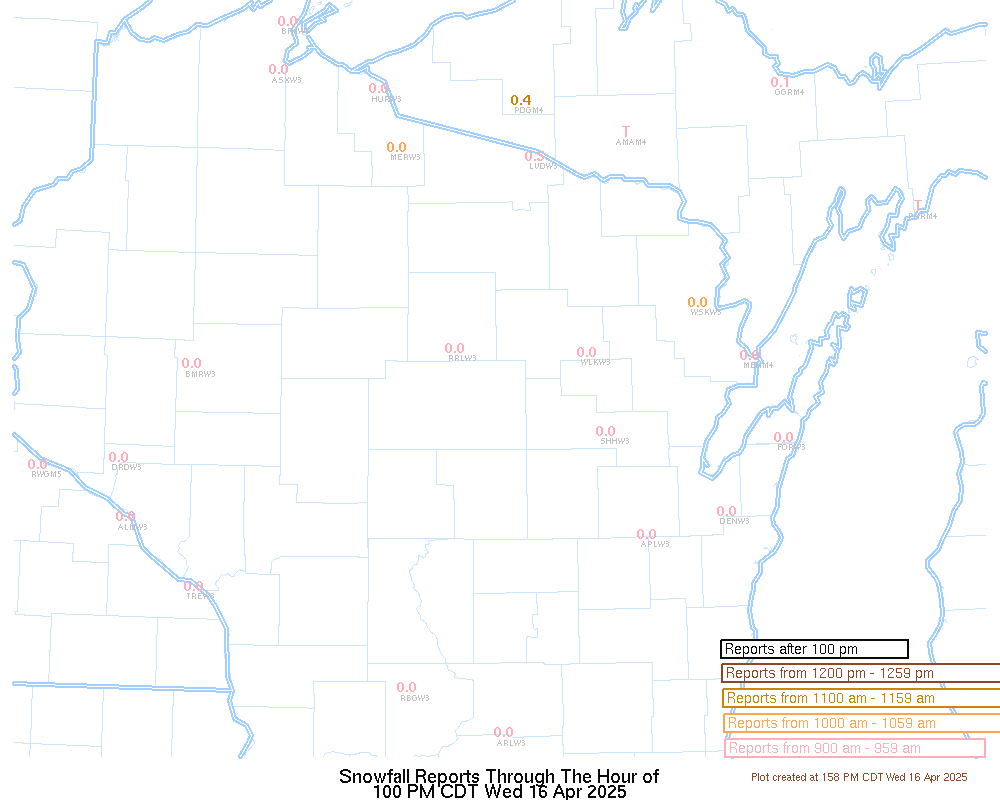
Latest Snowfall Reports |
For the latest Wisconsin road conditions, visit: |
|
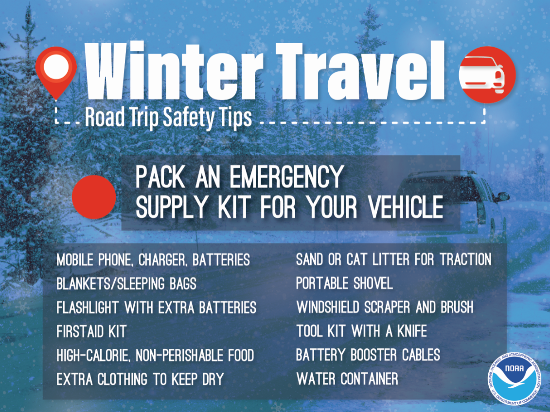
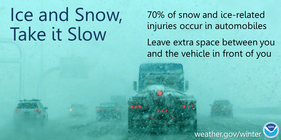
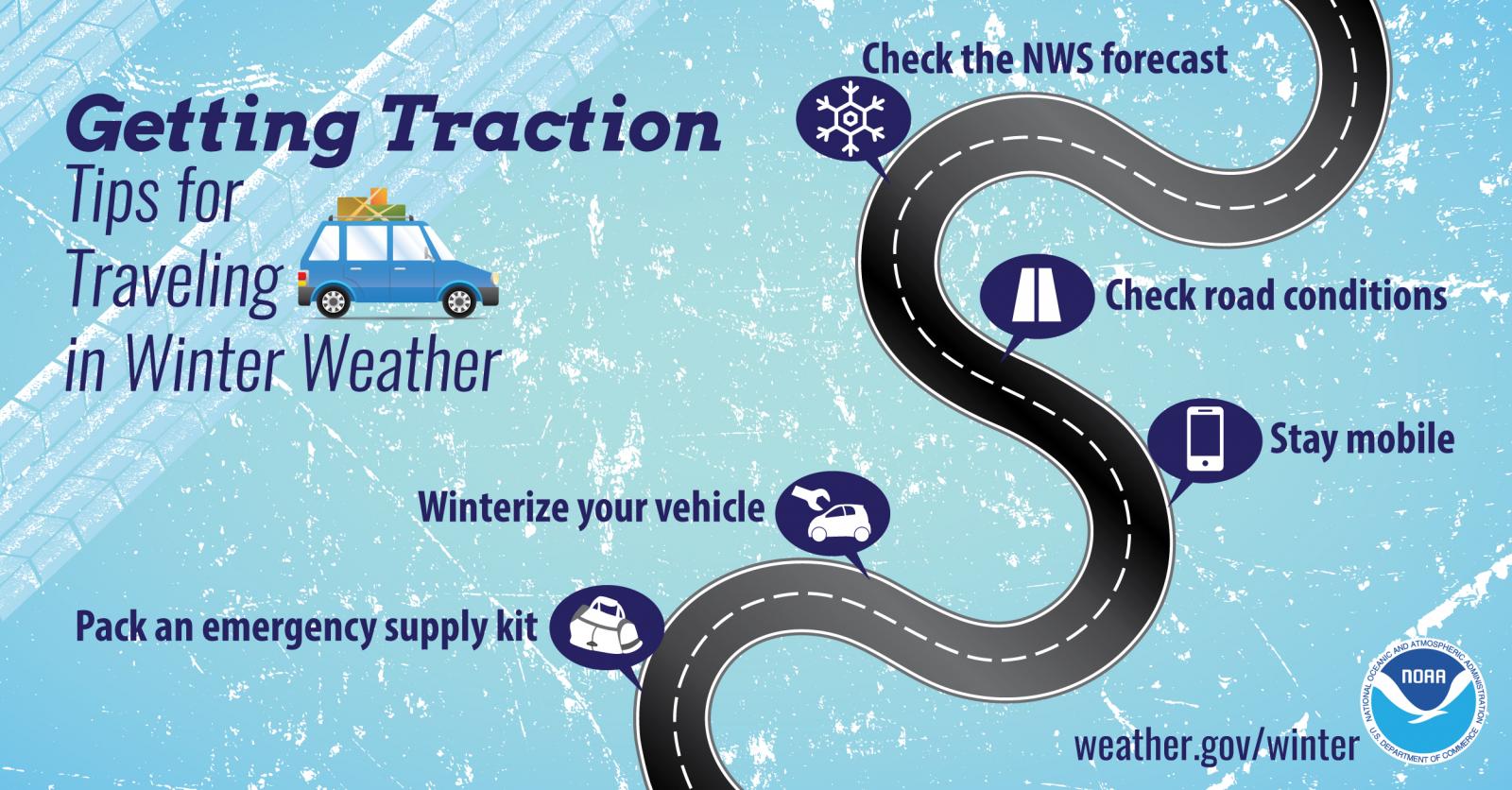
Weather Safety Information
| Winter Safety Info | ||
 |
 |
 |
|
|
|
|
 |
Media use of NWS Web News Stories is encouraged! Please acknowledge the NWS as the source of any news information accessed from this site. |
|
US Dept of Commerce
National Oceanic and Atmospheric Administration
National Weather Service
Green Bay, WI
2485 South Point Road
Green Bay, WI 54313-5522
920-494-2363
Comments? Questions? Please Contact Us.