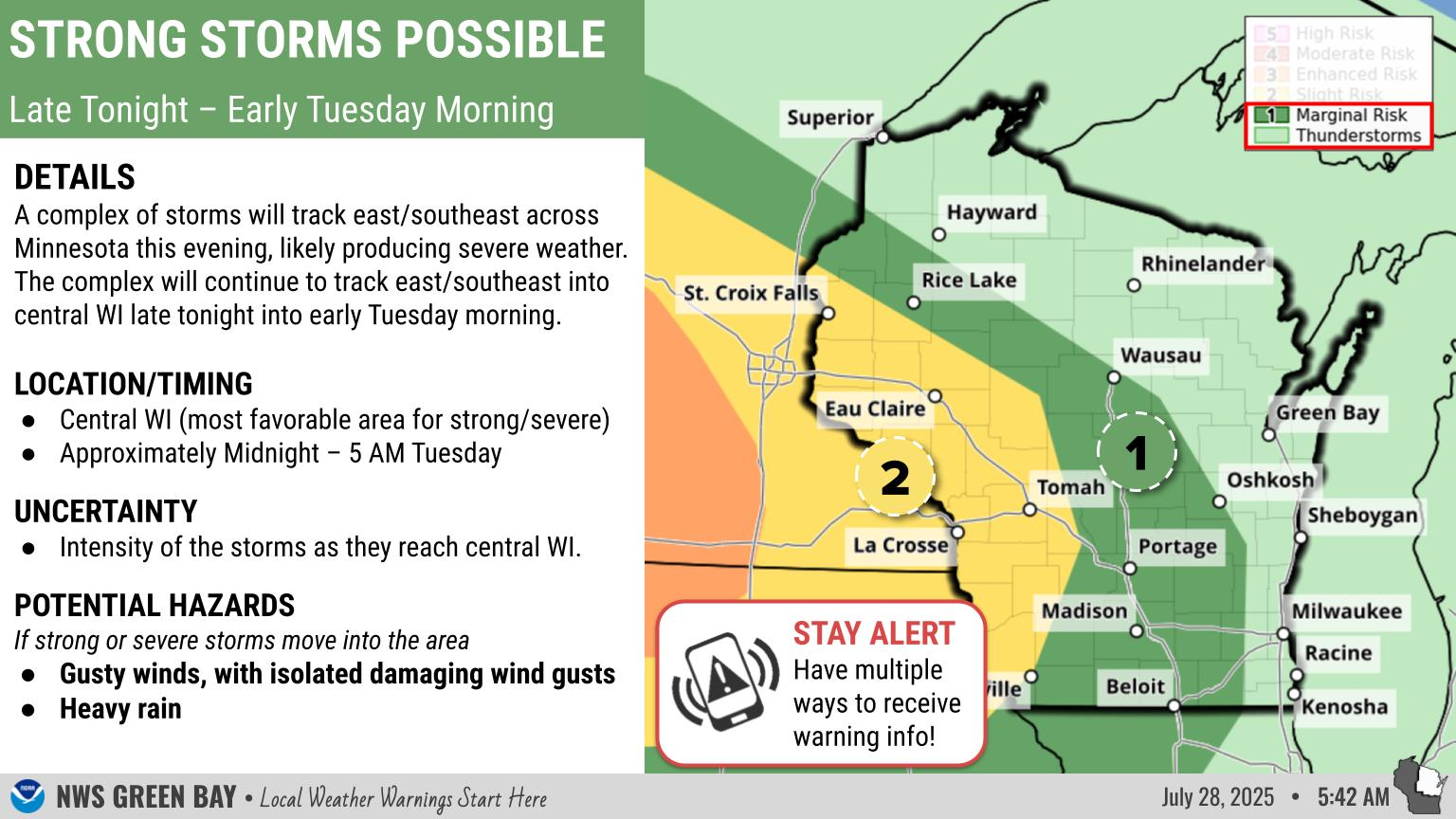
Winter Storm Slowly Losing Its Grip On The Region - Significant Travel Impacts Continue
|
DETAILS: A winter storm will slowly lose its grip on the region overnight. Periods of light to moderate snow will continue though late evening, then end from west to east overnight. Gusty winds could also bring some blowing and drifting snow. Expect significant impacts to travel.
TIMING: Snow and blowing/drifting snow ending overnight into early Wednesday morning.
IMPACTS: Snow-covered and slippery roads, bridges, and sidewalks. Reduced visibility from falling, blowing and drifting snow is expected at times. Poor road conditions will likely persist into the Wednesday morning commute.
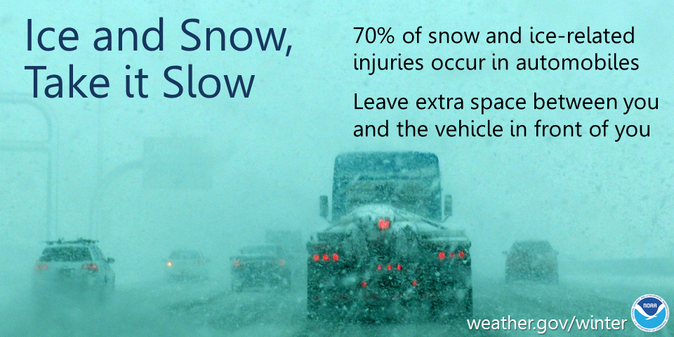
ACTIONS: Remember...TAKE IT SLOW in ICE and SNOW! Keep extra distance between vehicles, allow extra time to reach your destination. Always have your headlights on.
See tabs below for more information. Click on any image for a larger view. |
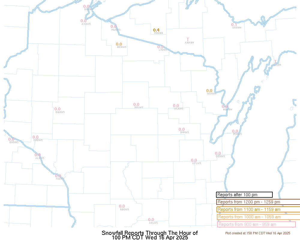
Additional Snowfall - 6 PM Today to 6PM Wednesday
|
|
|
|
|
|
Radar
 |
|
Snow / Road Reports
|
Latest Snowfall Reports |
For more snow and ice reports, please click HERE:
For the latest Wisconsin road conditions, visit: |
|
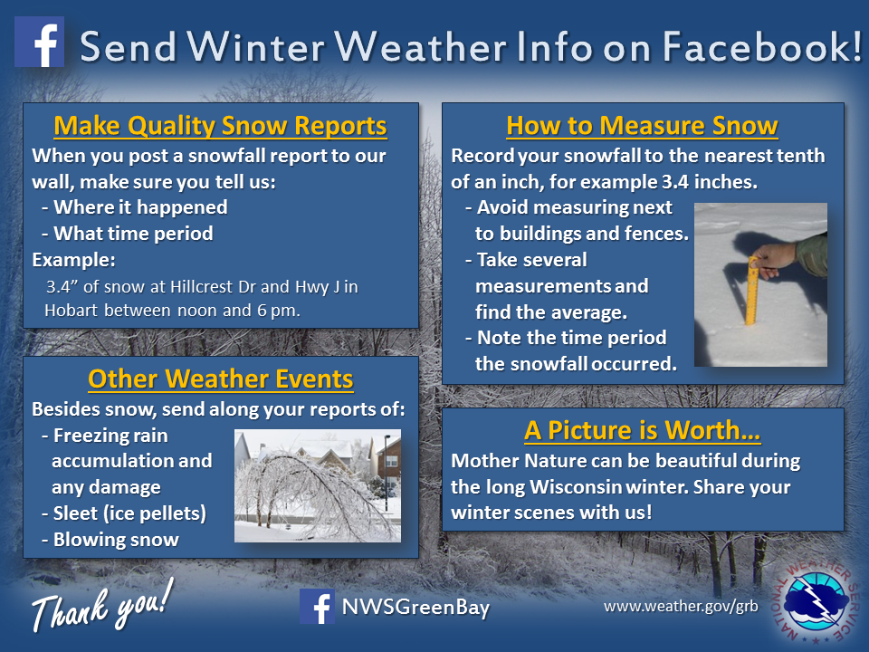
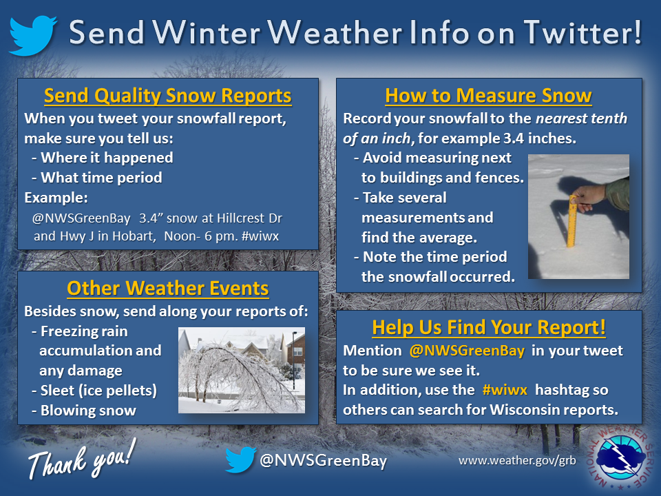
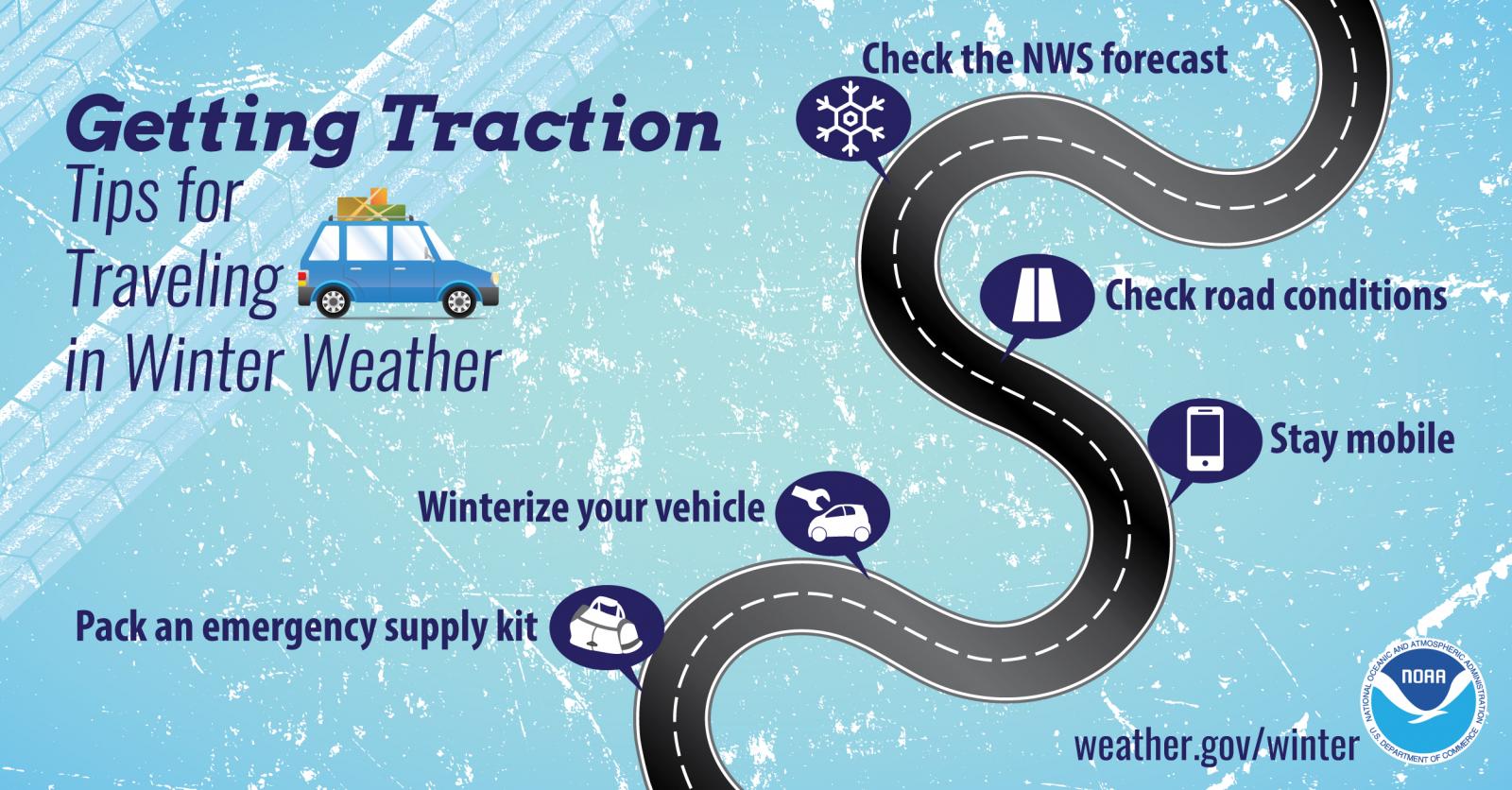
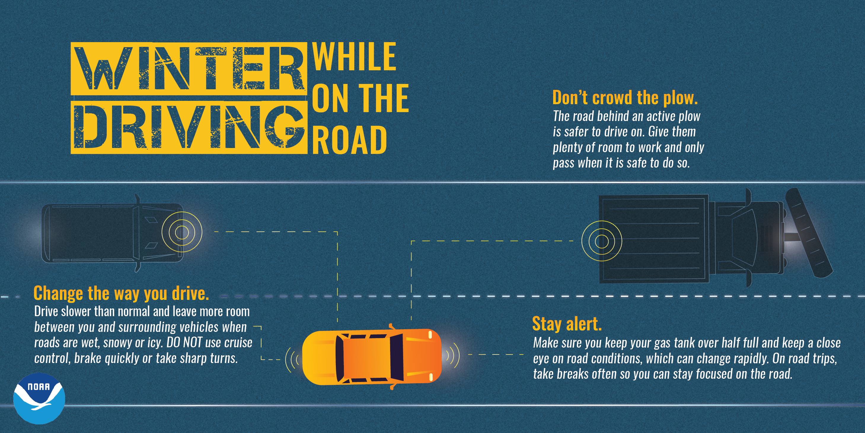
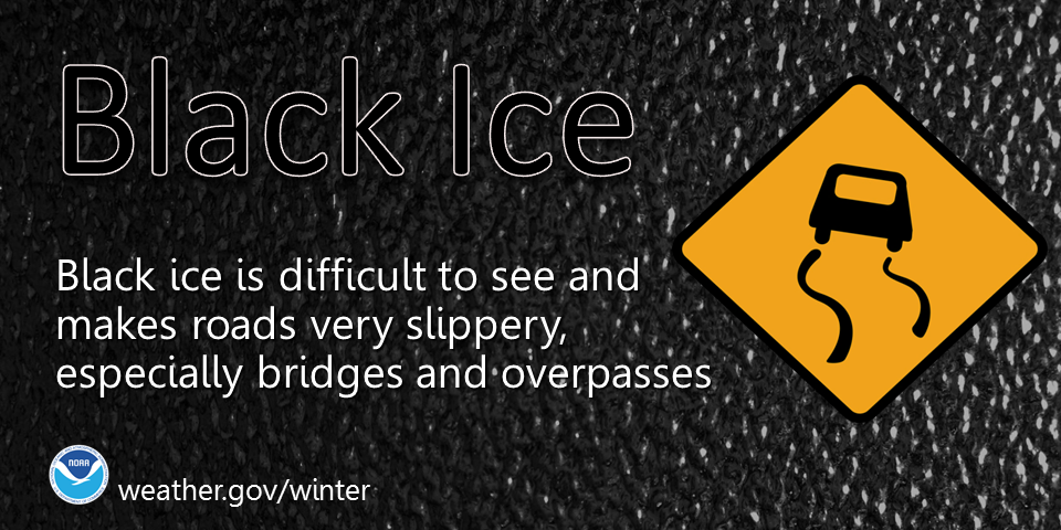
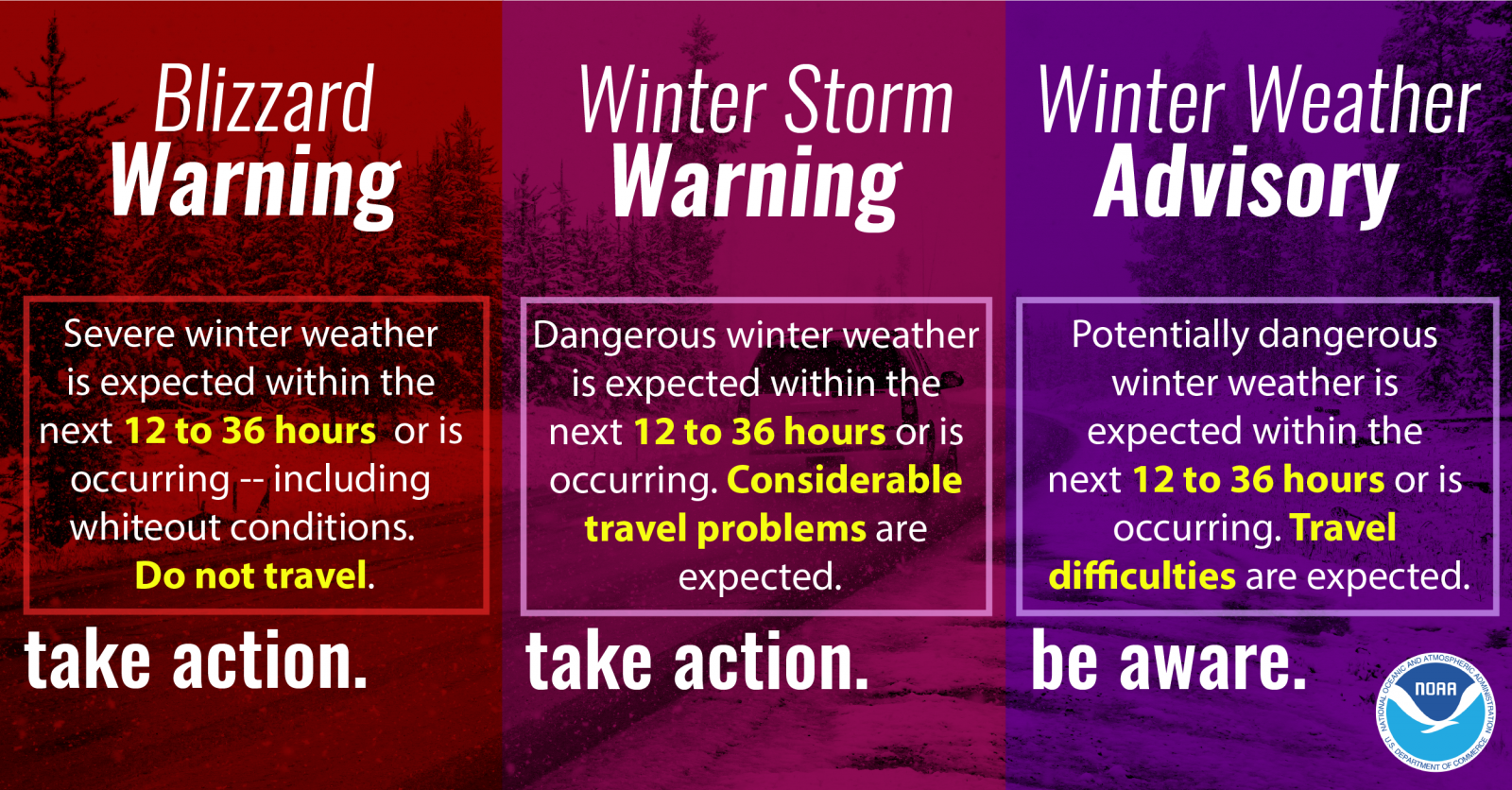
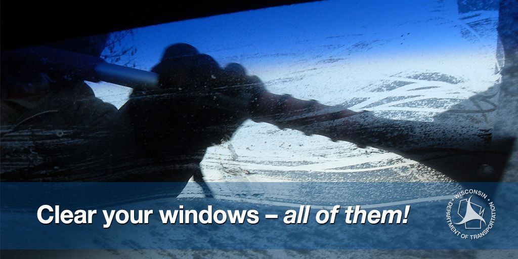
Weather Safety Information
| Winter Safety Info | ||
 |
 |
 |
 |
 |
 |
 |
Media use of NWS Web News Stories is encouraged! Please acknowledge the NWS as the source of any news information accessed from this site. |
|