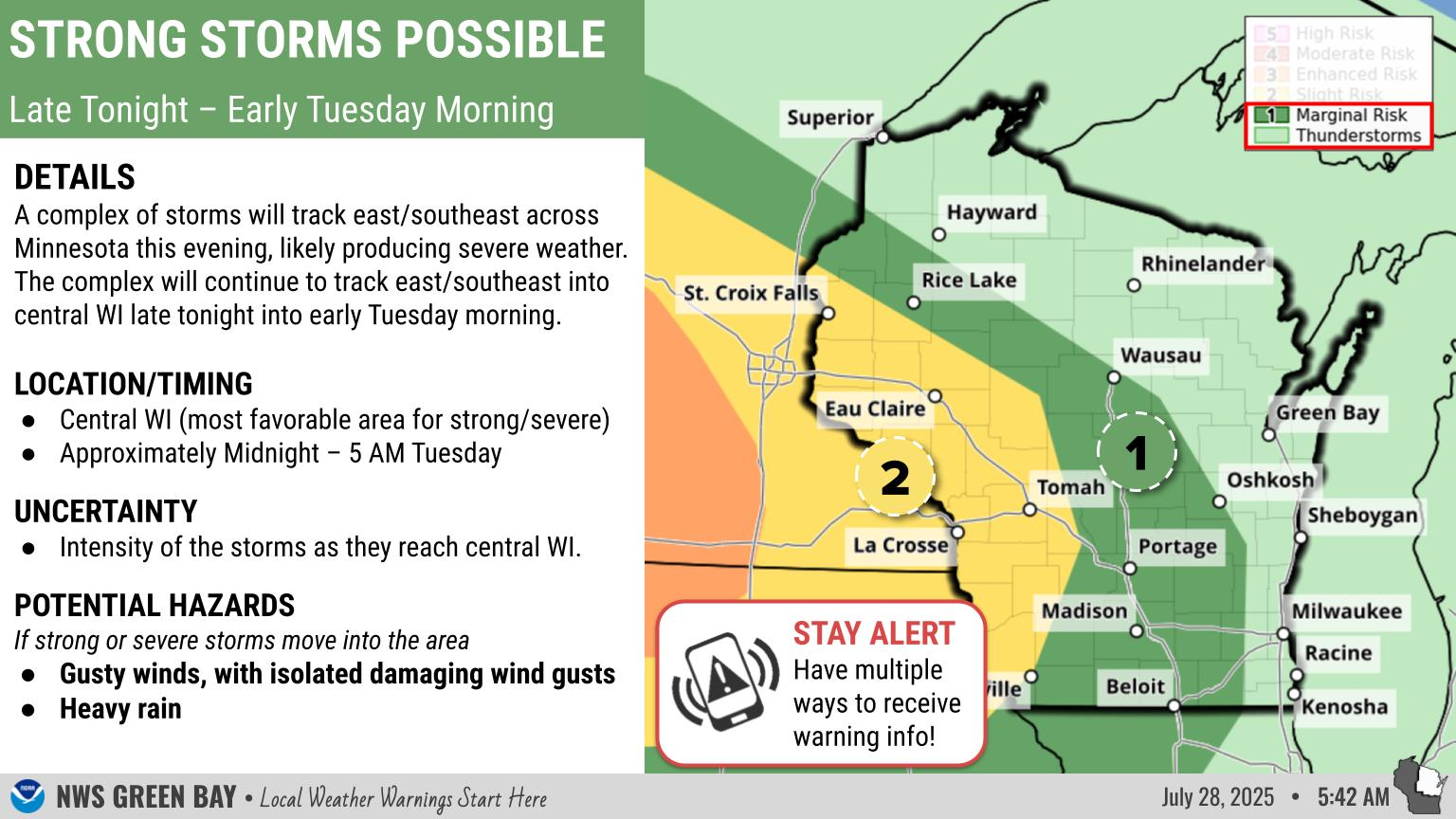
Wintry Weather To Impact Travel Today
|
What to Expect: Early this afternoon precipitation had changed to snow across north-central and parts of central Wisconsin. Drizzle and freezing drizzle will continue to changeover to snow through the afternoon, with the changeover occurring along the lake shore by late afternoon. The heaviest of the snow will occur during the afternoon and early evening, then come to an end. Behind this winter system, northwest winds become gusty and bring in much cooler air.
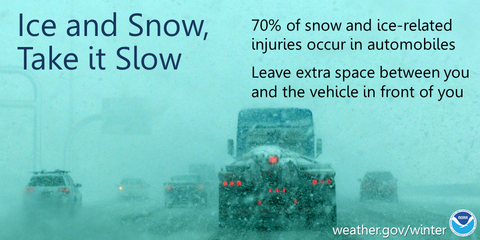
There have been reports of slippery roads from the freezing drizzle and snow, you can check the latest road conditions at the DOT site here.
Actions: Remember to slow down, keep extra distance between vehicles, and allow extra time to reach your destination.
See tabs below for more information. Click on any image for a larger view. |
Snowfall Forecasts
|
Latest Snowfall Forecast (please note valid times on graphic) |
|
Radar
 |
|
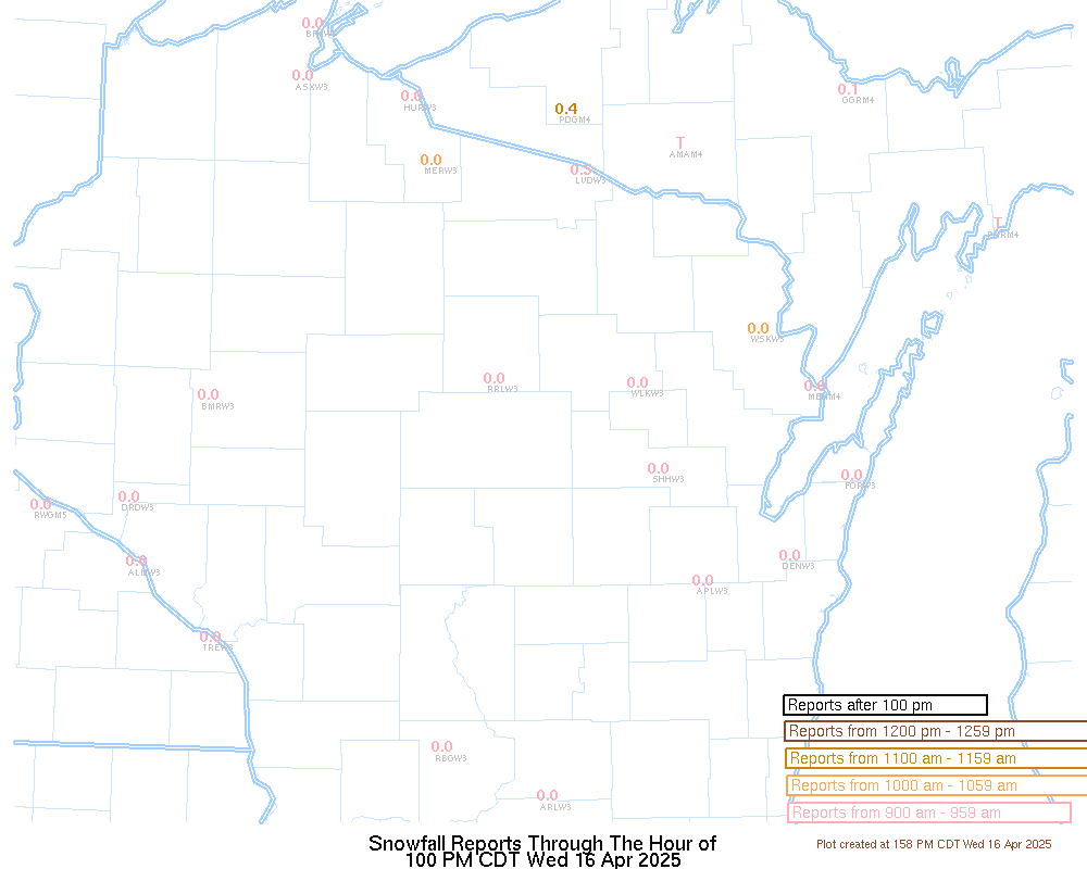
Snow / Road Reports
|
Latest Snowfall Reports |
For the latest Wisconsin road conditions, visit: |
|
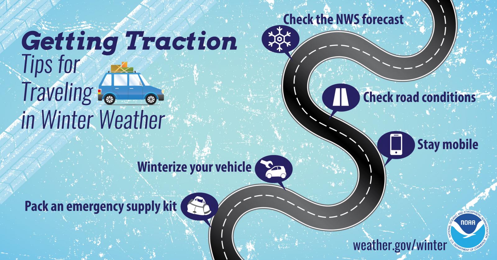
Weather Safety Information
| Winter Safety Info | ||
 |
 |
.png) |
|
|
|
|
 |
Media use of NWS Web News Stories is encouraged! Please acknowledge the NWS as the source of any news information accessed from this site. |
|