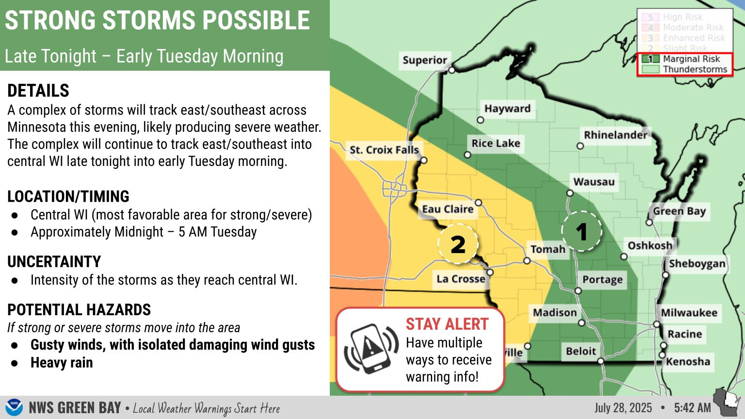
This Afternoon: Snow and Rain Taper Off, Winds Increase
|
What: Precipitation will taper off from southwest to northeast this afternoon. Expect snow across central and northern Wisconsin, with a mix of rain and south across the Fox Valley and east- central Wisconsin. However, even with precipitation ending, many roads may remain snow covered and slippery, slow down and drive with caution. The heavy snow has also created a number or power outages across central and northern Wisconsin due to downed tree limbs and power lines. As winds increase this afternoon, the potential for power outages continues.
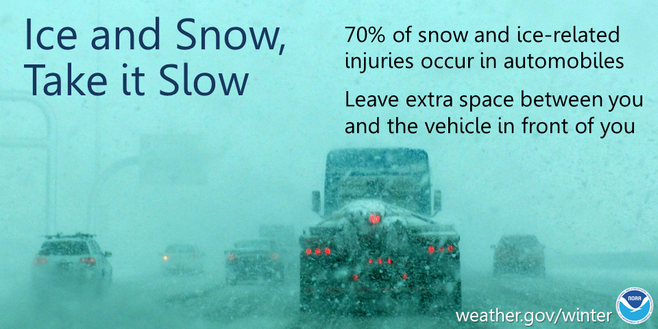
Wind: Northwest winds of 20 to 30 mph with gusts to around 40 mph are expected. Gusts near 50 mph are possible along the lake shore, particularly Door County. Winds this high could cause more downed trees and power lines, which would create sporadic power outages. Winds will also make for difficult driving, particularly for high profile vehicles. Actions: Remember to slow down, keep extra distance between vehicles, and allow extra time to reach your destination.
See tabs below for more information. Click on any image for a larger view. |
Snowfall Forecasts
|
Latest Snowfall Forecast |
|
Radar
 |
|
Snow / Road Reports
|
Latest Snowfall Reports |
For the latest Wisconsin road conditions, visit: |
|
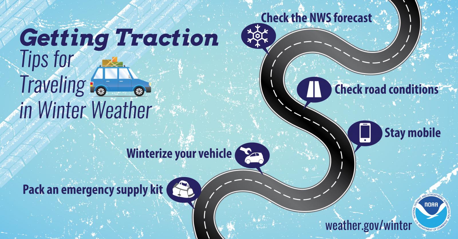
Weather Safety Information
| Winter Safety Info | ||
 |
 |
.png) |
|
|
|
|
 |
Media use of NWS Web News Stories is encouraged! Please acknowledge the NWS as the source of any news information accessed from this site. |
|