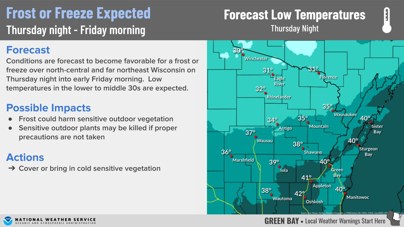
Wintry Weather To Impact Travel Into Tonight
|
What to Expect: Another round of snow is expected across far eastern-central Wisconsin this evening. The low track has shifted considerably farther to the east with the latest forecast update, which has led to reduced snowfall totals across much of the area. The heaviest totals are still expected over Manitowoc and Kewaunee Counties where 1 to 3 inches may fall. Much of the Fox Valley can expected to see under an inch of snow. Little to no snow is anticipated north and west of the Fox Valley.
Gusty northeast winds from 30 to 40 mph will continue over eastern Wisconsin this evening before diminishing. This will lead to areas of blowing and drifting snow, along with reduced visibilities at locations which receive snow. The gusty winds could also produce lake shore flooding along Green Bay and Lake Michigan. Ice shoves are also possible.
You can check the latest road conditions at the DOT site here.
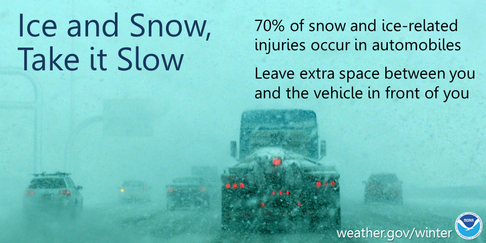
Actions: Remember to slow down, keep extra distance between vehicles, and allow extra time to reach your destination.
See tabs below for more information. Click on any image for a larger view. |
Snowfall Forecasts
|
Latest Snowfall Forecast (please note valid times on graphic) |
|
Radar
 |
|
Snow / Road Reports
|
Latest Snowfall Reports |
For the latest Wisconsin road conditions, visit: |
|
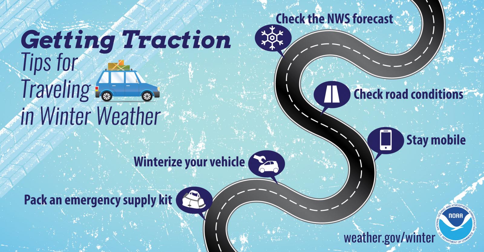
Weather Safety Information
| Winter Safety Info | ||
 |
 |
.png) |
|
|
|
|
 |
Media use of NWS Web News Stories is encouraged! Please acknowledge the NWS as the source of any news information accessed from this site. |
|