La Crosse, WI
Weather Forecast Office
Event Summary:
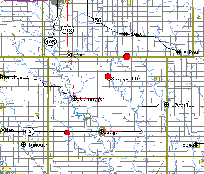
A potent early Spring storm system triggered numerous small thunderstorms on March 30, 2005, including a few brief tornadoes from east of Mason City, IA through Mitchell County, Iowa to near the Minnesota-Iowa state line. This area was near the center of low pressure and nearby cold/warm fronts that served as a 'triple point' to focus severe weather development. Even though the storms were relatively small and weak, the ingredients were there to spawn brief tornadoes.
Known touchdowns included...
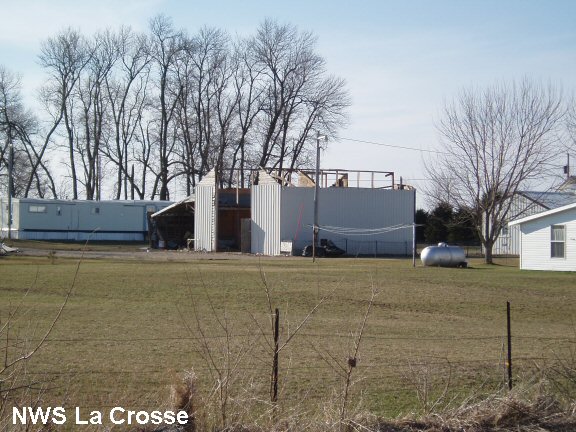
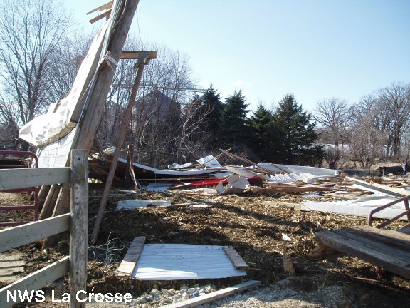
All damage was rated F0 on the Fujita Damage Scale. Damage was mainly to garages, a pole barn, and other misc. older outbuildings.
Wind damage also occurred in southeast Minnesota, east and northeast of Rochester, MN from wind speeds of 60-70 mph.
Map of Tornado Touchdowns
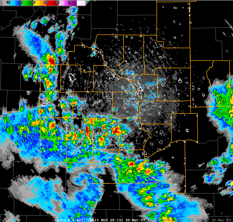
Radar image - 2:13 p.m. March 30, 2005
Damage Photos:
 |
 |
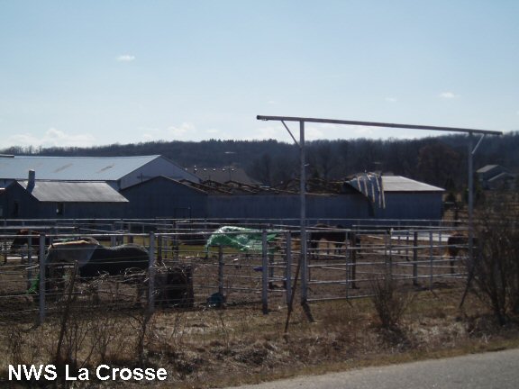 |
| Damage to garage west of Osage, IA. | Pole barn destroyed on northwest side of Stacyville, IA. | Wind damage to horse stable near Chester, MN. |
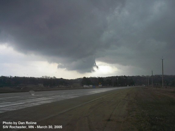
Storm Photo:
Our Office
Community Involvement
Station / Location Info
Follow Us On Social Media
Student Opportunities
Additional Information
Storm Summaries
Cooperative Observers
Educational Resources
Science / Research
Weather Phenomenon
Mayfly Tracking
Latest
Temp/Pcpn Summary
Precipitation Reports
Forecast Discussion
Hazardous Weather Outlook
Hourly Weather
Public Information Statement
Local Storm Report
Lightning Plot Archive
River Stages
Water Temp
Observations
Precipitation Plotter
Soil Temps
US Dept of Commerce
National Oceanic and Atmospheric Administration
National Weather Service
La Crosse, WI
711 County Road FA
La Crosse, WI 54601
608-784-7294
Comments? Questions? Please Contact Us.


 Weather Story
 Weather Map
 Local Radar