National Weather Service United States Department of Commerce

Cold Front Moving Through the Northeast U.S. Monday; Atmospheric River to Impact the Pacific Northwest Midweek

A cold front will cross the Great Lakes and Northeast U.S. through Monday with gusty winds and areas of rain showers. A strong atmospheric river is expected to move into the Pacific Northwest by midweek bringing a threat for moderate to heavy rainfall, gusty winds, and mountain snows for parts of Washington, Oregon, northern California, and the Sierra Nevada. Read More >

BRIEFING TOOL KLSE KRST


SATELLITE [MORE] RADAR SURFACE
Visible Satellite


Visible Satellite Water Vapor Satellite IR Color Satellite
Visible Water Vapor IR
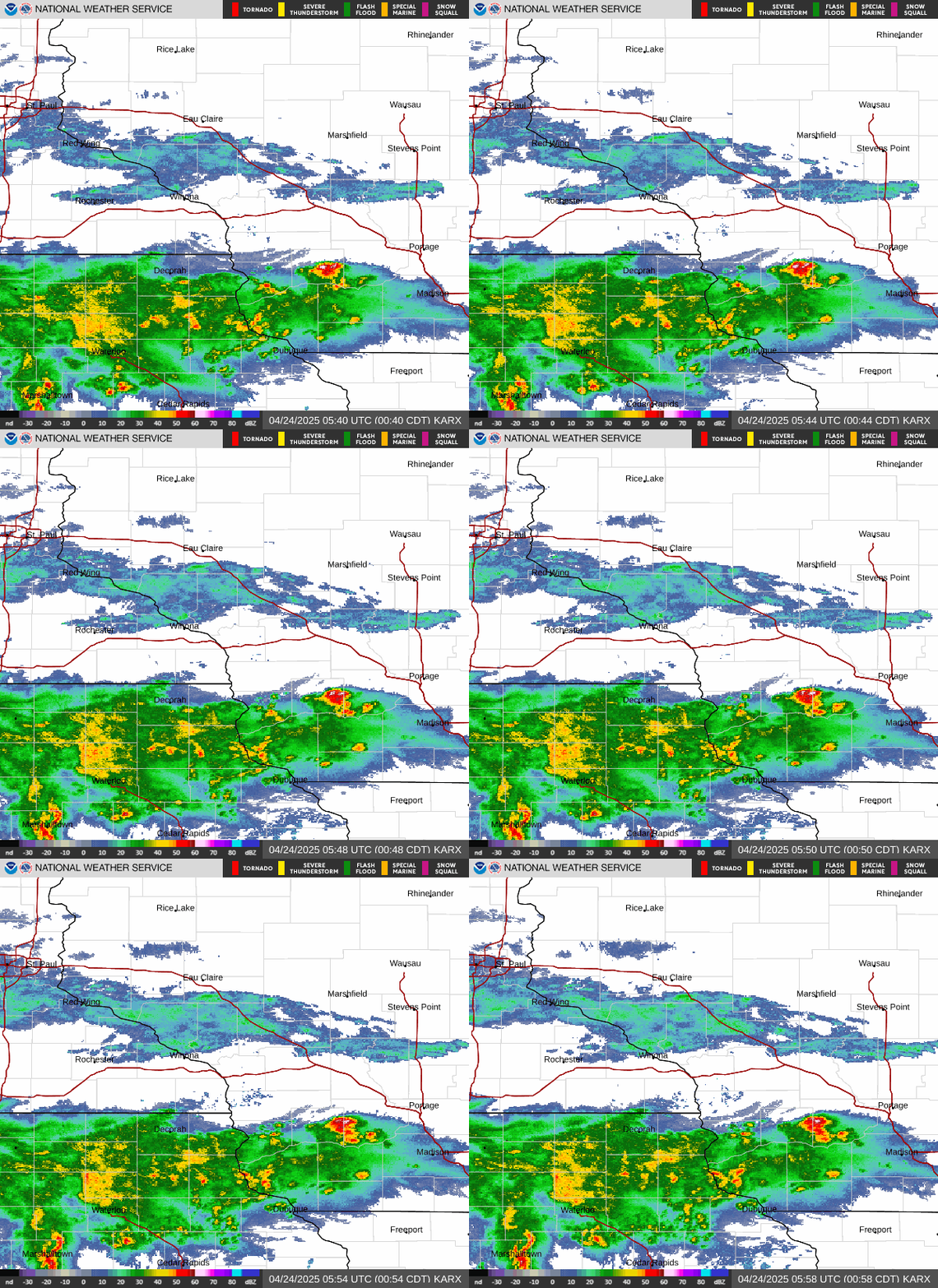
La Crosse ReflectivityKLSE reflectivity
National
National Radar

 
Surface Maps
Surface Map
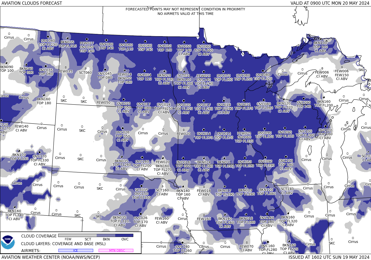
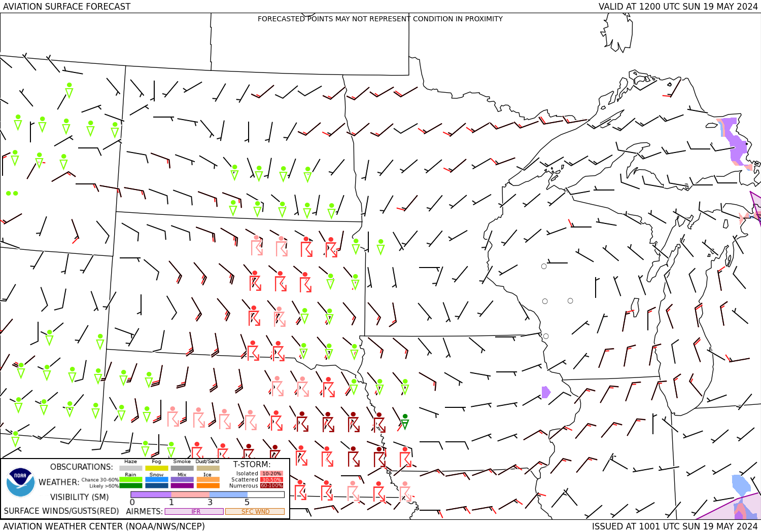
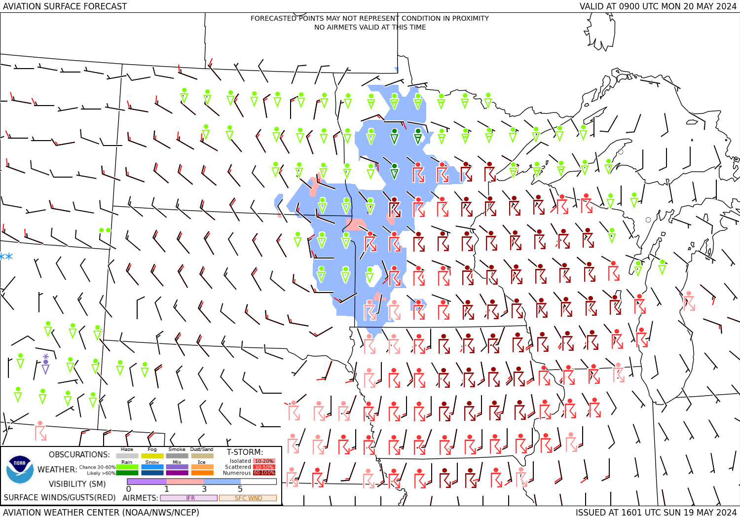
Flight Conditions
Flight Conditions

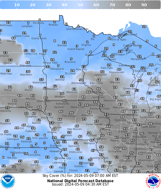
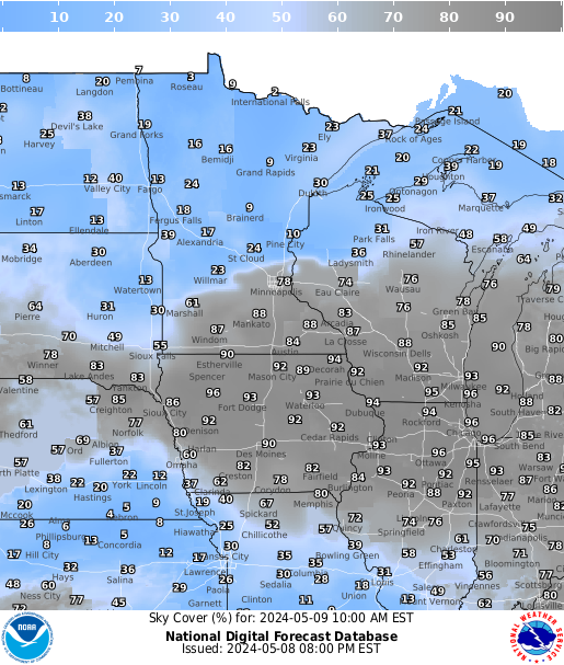
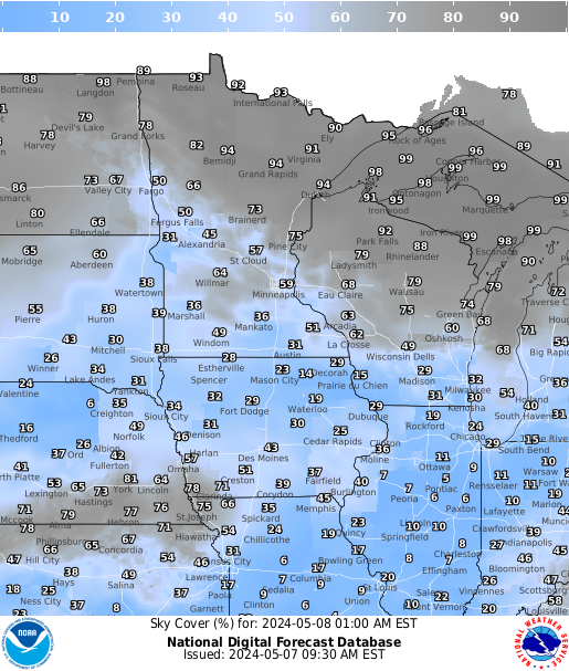
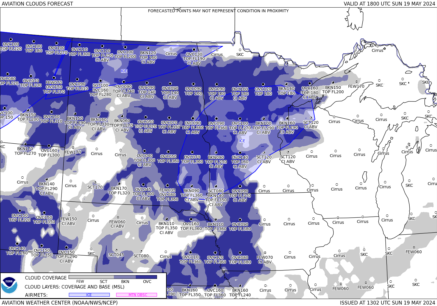
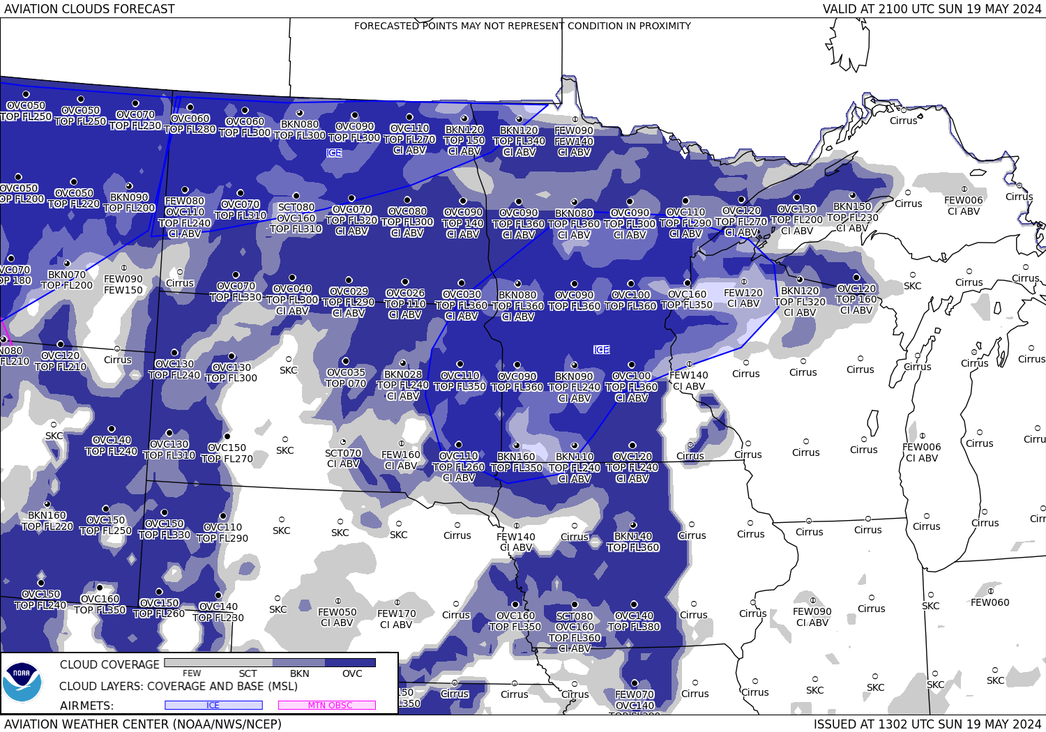
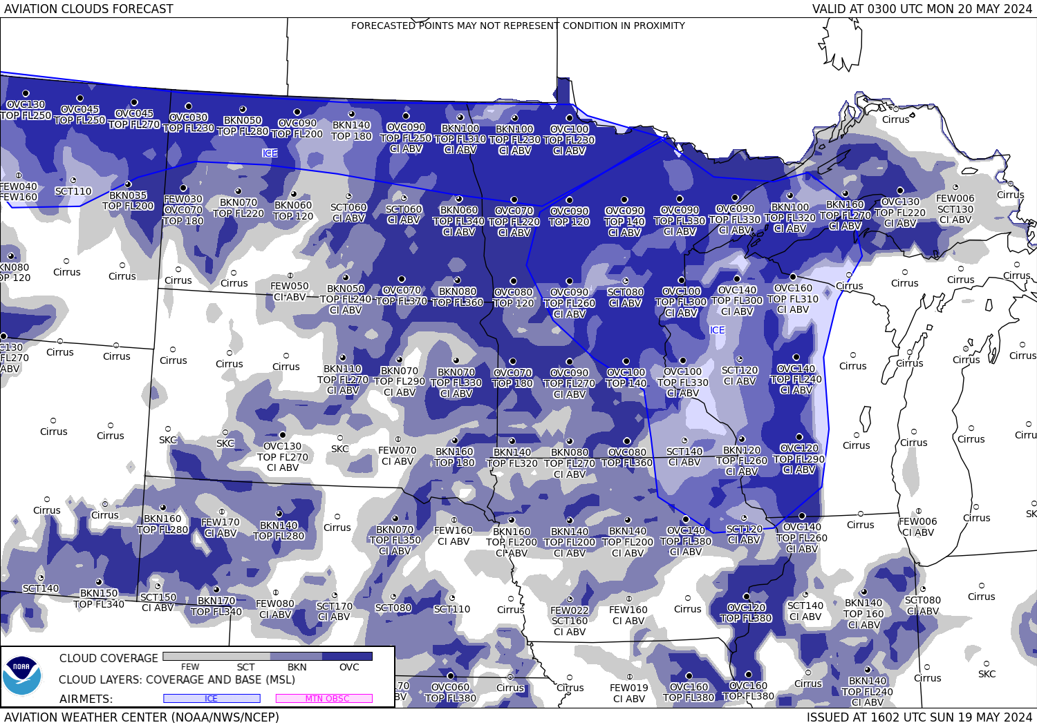
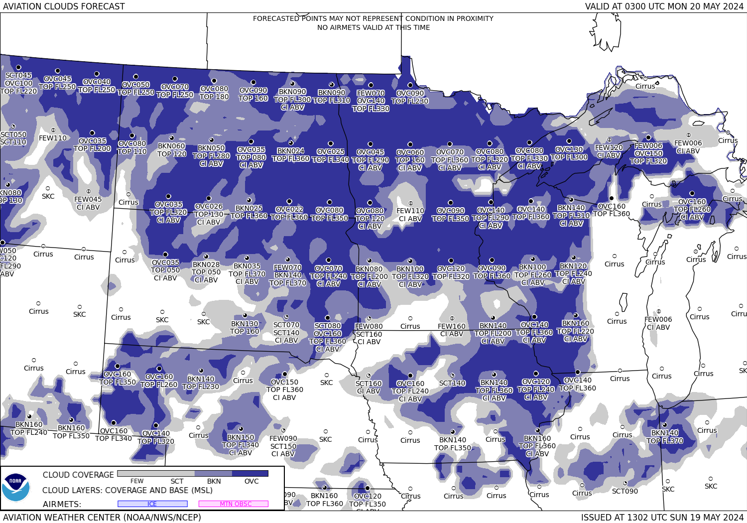
Sky

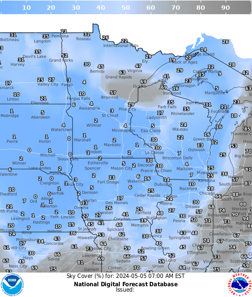
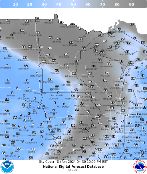
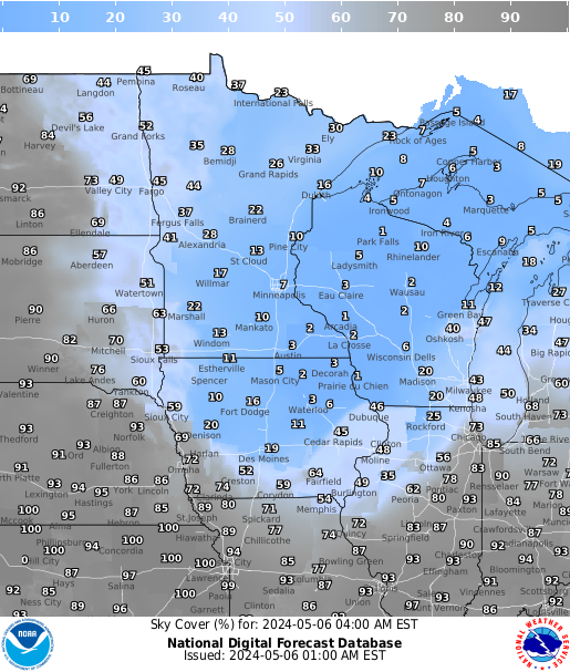
Sky cover Sky cover Sky cover Sky cover Sky cover Sky cover Sky cover
Current 3 hrs 6 hrs 9 hrs 12 hrs 15 hrs 18 hrs

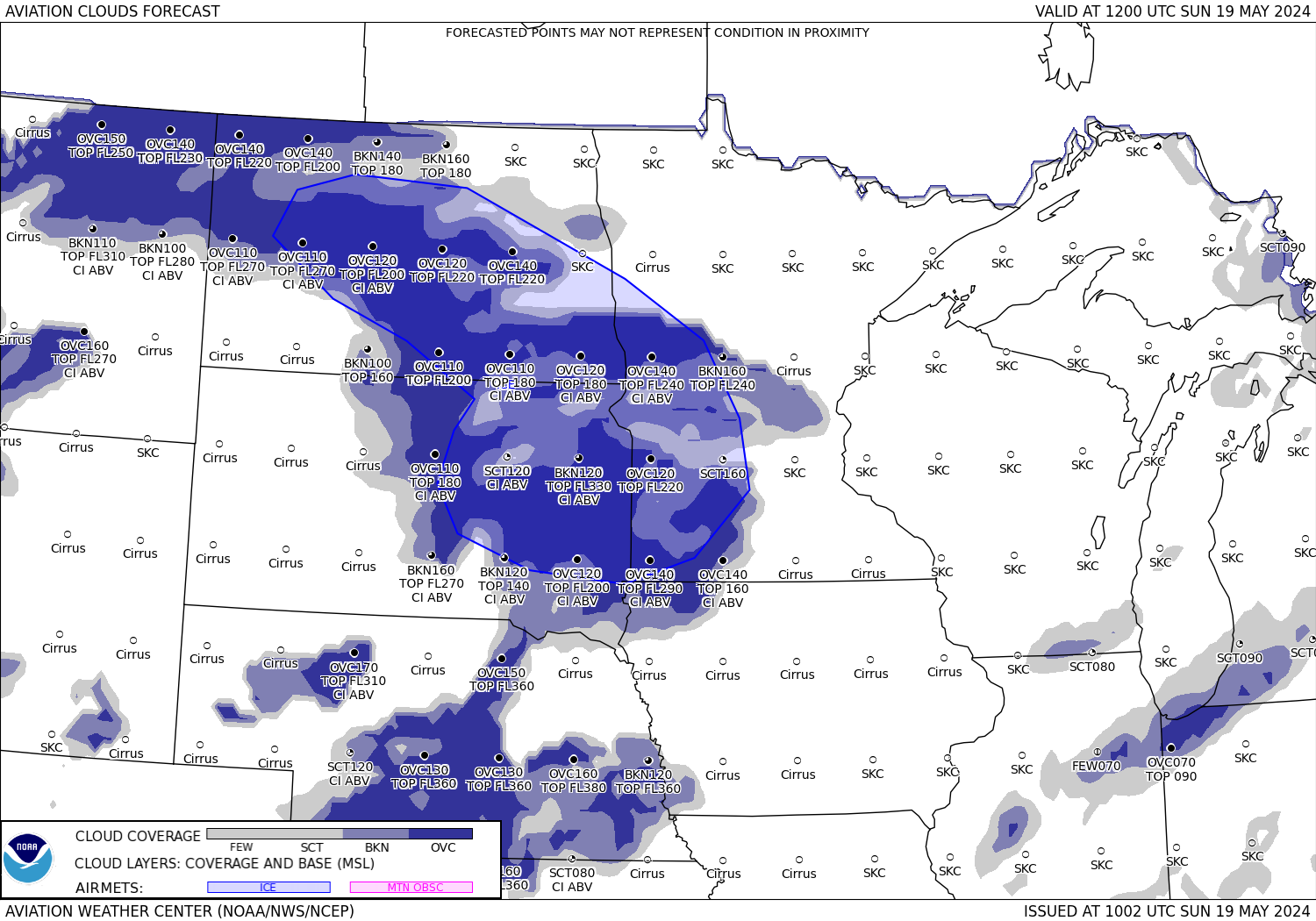
Cloud Bases

  Sky cover Sky cover Sky cover Sky cover Sky cover Sky cover
  3 hrs 6 hrs 9 hrs 12 hrs 15 hrs 18 hrs

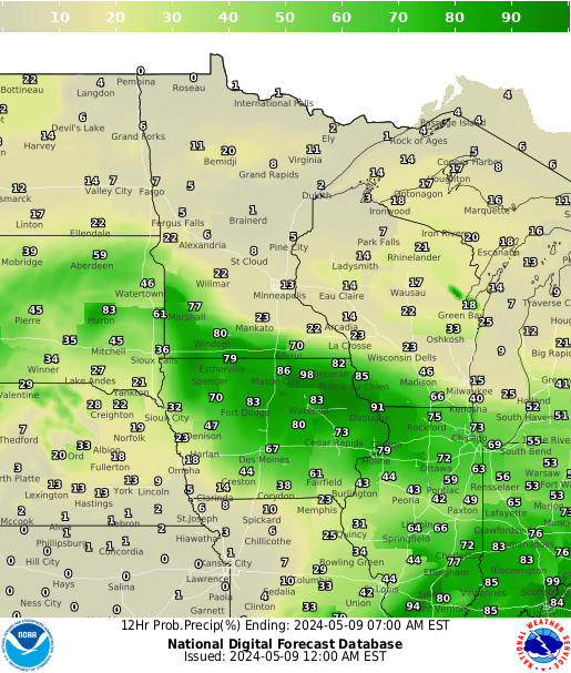
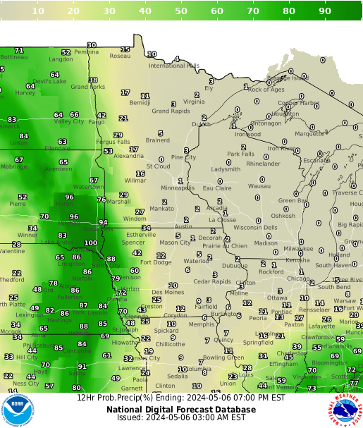
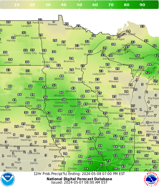
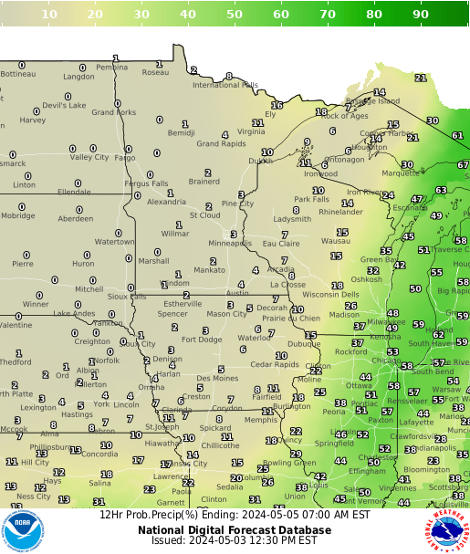
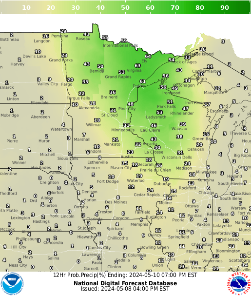
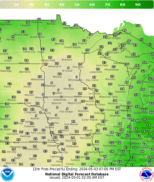
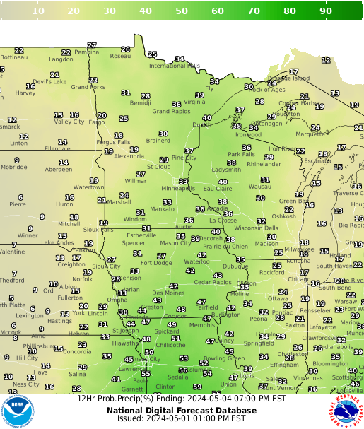
Precipitation Chances

Precipitation Precipitation Precipitation Precipitation Precipitation Precipitation Precipitation
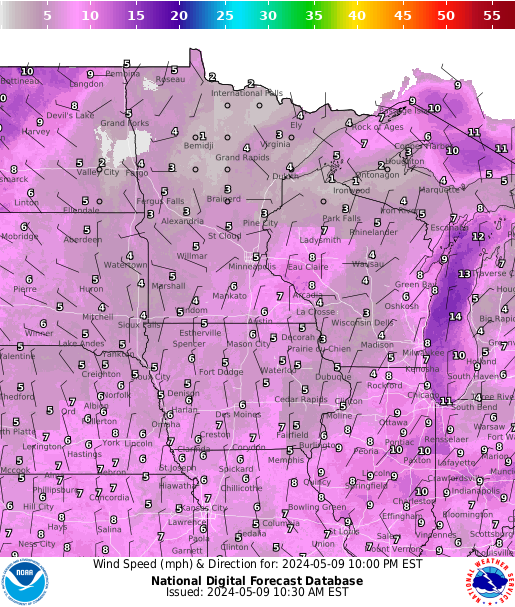
12 hrs 24 hrs 36 hrs 48 hrs 60 hrs 72 hrs 84 hrs

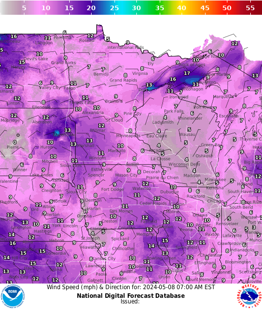
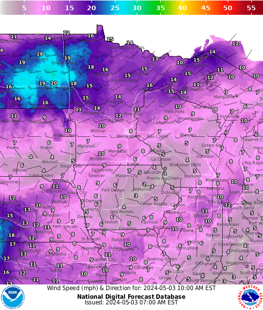
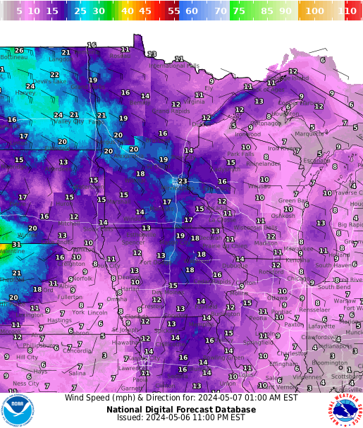
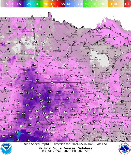
Surface

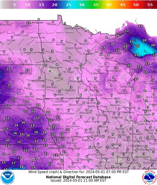
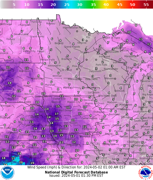
wind wind wind wind wind wind wind
Current 3 hrs 6 hrs 9 hrs 12 hrs 15 hrs 18 hrs

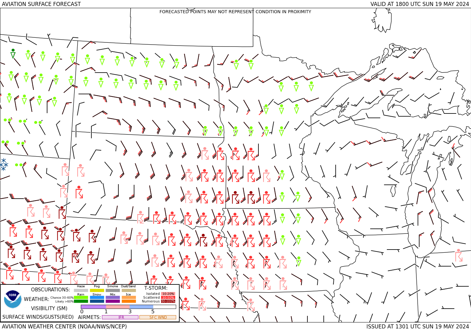
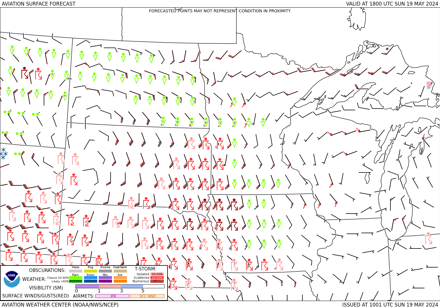
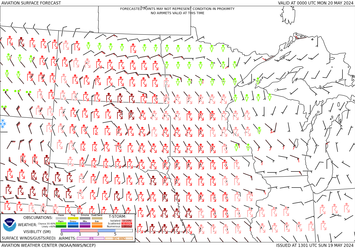
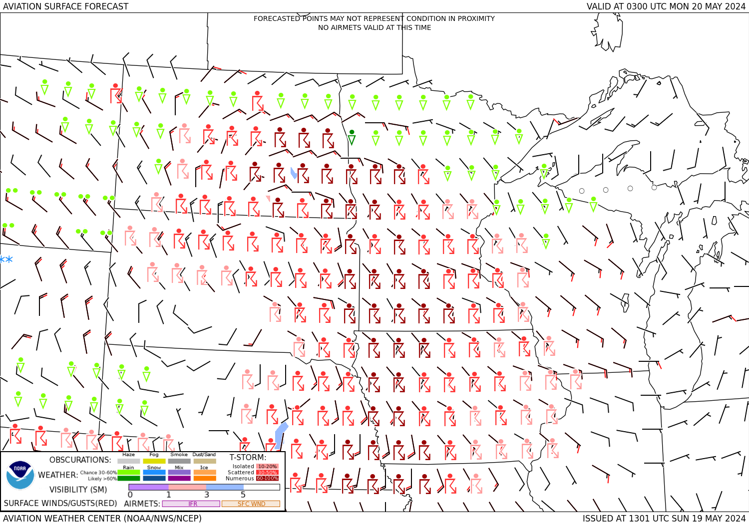
Surface Conditions

  surface Precipitation Precipitation surface surface surface
  3 hrs 6 hrs 9 hrs 12 hrs 15 hrs 18 hrs
  Terminal Forecasts


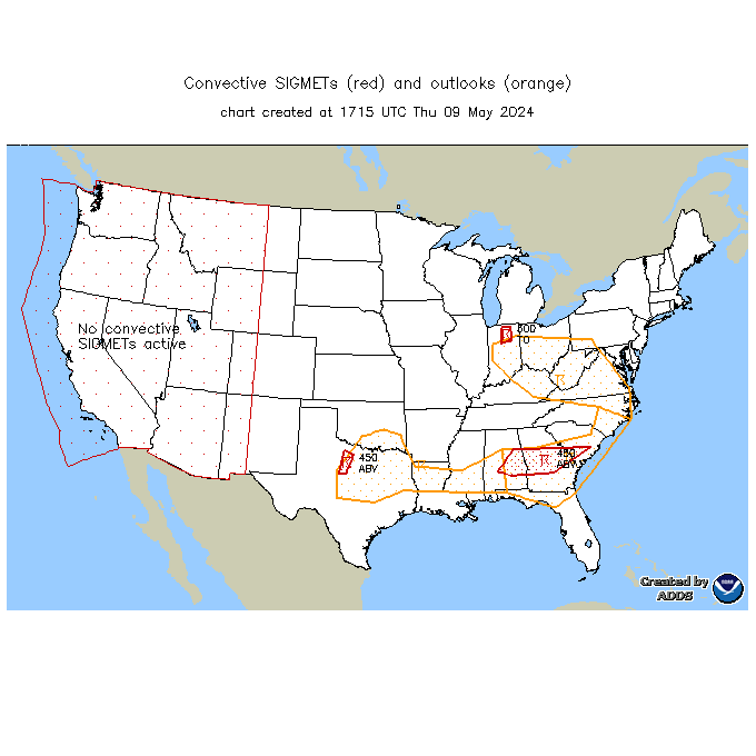
tubulence icing PIREP weather sigmet convective sigmet icing sigmet turbulence sigmet turbulence
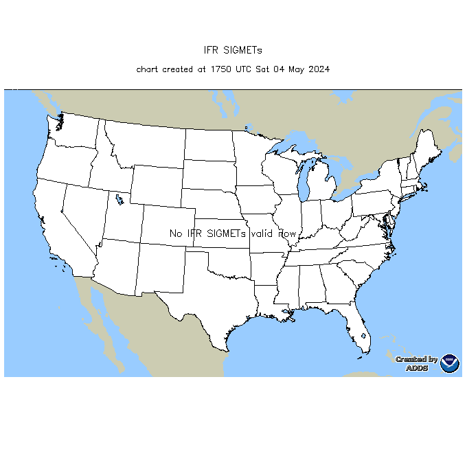
PIREPS-Turbulence PIREPS-Icing PIREPS-WX/Sky SIGMET-Convective SIGMET-Icing SIGMET-Turbulene SIGMET-IFR