La Crosse, WI
Weather Forecast Office
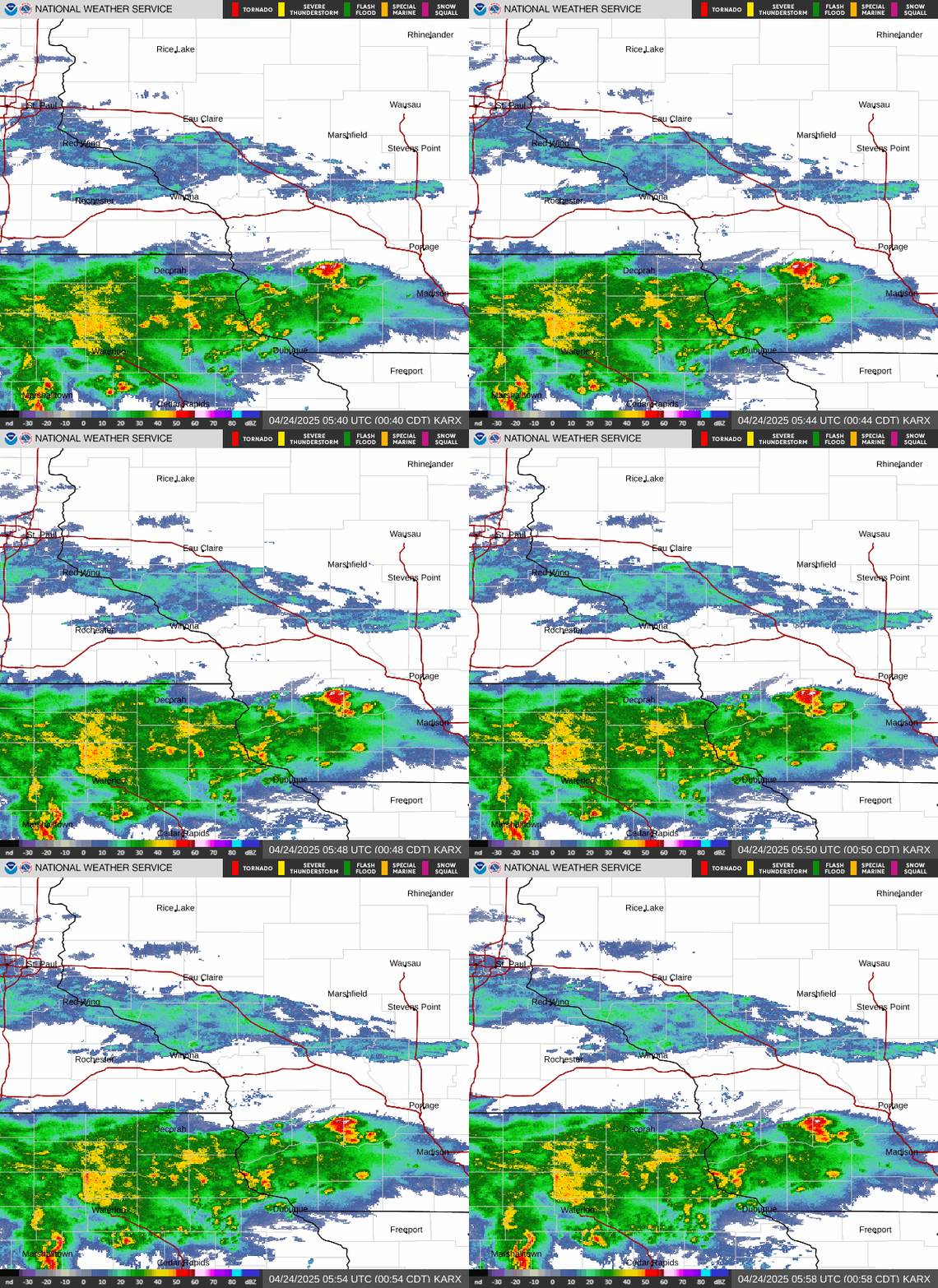
Radar - just want something simple? Show me where the storm, rain or snow is, and where it is going? We now have that option for you! Our “Local Standard Radar” imagery will give you just that – the basics – and it’s geared toward those with low bandwidth. Quicker loads without all the frills, overlays, or additive data. It’s like a hamburger without the assortment of toppings and condiments. Basic, quick and easy.
If you still like to “slice and dice” your radar imagery, adjust backgrounds, overlays, or what type of radar product you want to look at, the “enhanced” radar imagery is still there for your use. Adjust it to suit your needs, whatever they may be. A lot of choices, a lot of options…all at your fingertips (or mouse click in this case).
This new “Local Standard Radar” imagery, along with the “Local Enhanced Radar” and national radar can be found via our “Radar” drop down menu right off our front page.
Our Office
Community Involvement
Station / Location Info
Follow Us On Social Media
Student Opportunities
Additional Information
Storm Summaries
Cooperative Observers
Educational Resources
Science / Research
Weather Phenomenon
Mayfly Tracking
Latest
Temp/Pcpn Summary
Precipitation Reports
Forecast Discussion
Hazardous Weather Outlook
Hourly Weather
Public Information Statement
Local Storm Report
Lightning Plot Archive
River Stages
Water Temp
Observations
Precipitation Plotter
Soil Temps
US Dept of Commerce
National Oceanic and Atmospheric Administration
National Weather Service
La Crosse, WI
711 County Road FA
La Crosse, WI 54601
608-784-7294
Comments? Questions? Please Contact Us.


 Weather Story
 Weather Map
 Local Radar