A major winter storm is expected to bring heavy snow, strong winds, and coastal flooding across the Mid-Atlantic and Northeast that may cause impossible travel conditions and power outages. Blizzard conditions are possible along coastal areas from the DelMarVa Peninsula through southeastern New England. Wet weather and strong winds return to the Pacific Northwest and north-central California. Read More >
 August 25-September 4, 2008 |
|
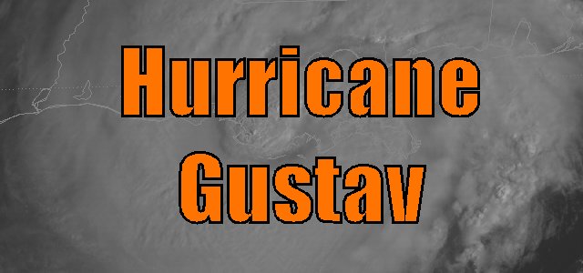
Hurricane Gustav developed south of Dominican Republic on August 25th from a tropical wave that gradually got better organized as it moved across the Eastern Caribbean Sea. Gustav, a rather small tropical cyclone initially, quickly strengthened to a strong category one hurricane before making landfall across Southern Haiti on August 26th with 90 mph sustained winds. The combination of landfall and southwesterly shear weakened Gustav to a minimal tropical storm on August 27th. Gustav briefly re-strengthened to a strong tropical storm before going across Jamaica on August 28th & 29th. While over Jamaica, Gustav's circulation began to expand, with the radius of tropical storm winds doubling during this time period. Once Gustav emerged off the west coast of Jamaica into the Northwestern Caribbean Sea, modest strengthening commenced, attaining hurricane status by 4 PM on August 29th. With excellent outflow and high oceanic heat content of the water ahead, Gustav began to strengthen overnight, and quite rapidly on August 30th, making landfall across Western Cuba as a 150 mph category four hurricane. Click here to see the entire track of Gustav. Only weakening slightly over its passage over Cuba, Gustav emerged into the Gulf, and was expected to strengthen again to a strong category four hurricane as he headed northwest towards Louisiana. Instead, Gustav continued to slowly weaken on August 31st and the morning of September 1st, which is still not understood why this occurred. However, Gustav's circulation expanded a bit during this weakening process. Gustav made landfall near Cocodrie, Louisiana at 9:30 AM CDT September 1st as a strong category 2 (based on 110 mph sustained winds) and a central pressure of 955 mb. Gustav continued to move northwest, spreading hurricane force wind gusts across portions of Southeast and South Central Louisiana. Click the Radar & Satellite links here for images at the time of landfall. Click these radar & satellite links for images at the time of landfall. Click here for Gustav's path across the Gulf. Gustav weakened to a tropical storm and eventually a depression as its center continued to move northwest across Central and Northwestern Louisiana on the evening on the 1st and morning of 2nd, basically following I-49. Gustav practically stalled over the Ark-La-Tex from the afternoon of the 2nd through the morning hours of the 3rd. It was during this time that persistent feeder bands caused flooding in Iberia and St. Martin parishes. Later that evening, repetitive feeder bands, some with tornadic thunderstorms, developed across Southwest and Central Louisiana. One of these tornadoes resulted in 2 deaths near Mamou, LA early on the 3rd. Due to thunderstorms moving over the same region for 9 to 12 hours, and the rainfall associated with the initial passage of Gustav the day before, radar rainfall estimates of 15 to 25 inches occurred across portions of Rapides, Avoyelles, Allen, Evangeline, and St. Landry parishes. Listed below are post-storm reports and meteorological data gathered from Hurricane Gustav. All data is considered preliminary, and is subject to change at any time. Additional information will continue to be added to this page in the future.
|
|||||||||||||||||||||||||||||||||||||||||||||||
|
|
|||||||||||||||||||||||||||||||||||||||||||||||