Record setting heat is expected over the next several days from the Intermountain West through the northern Plains. Furthermore, fire weather concerns increase with dry and breezy conditions. Meanwhile, heavy rainfall and severe thunderstorm threats for the Ohio/Tennessee Valleys, central Appalachians and Southeast today. The threat shifts to central Gulf Coast and across central Texas this week. Read More >
|
Observations and Forecasts |
|||||||
|
|
|||||||
|
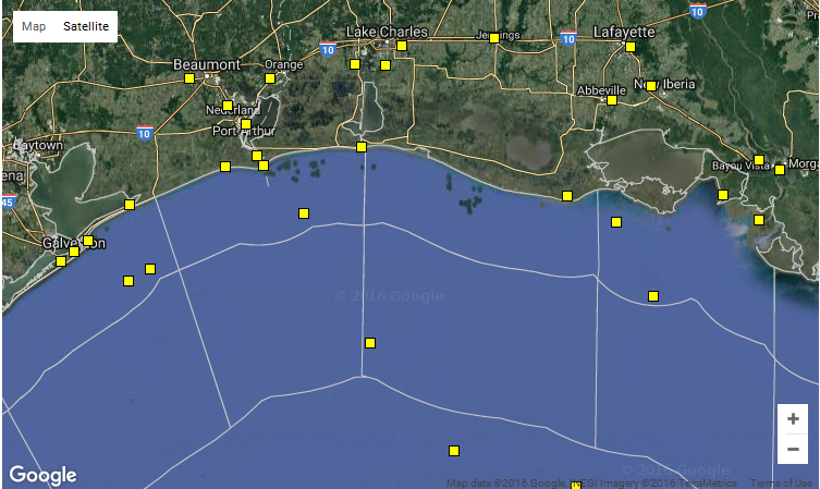
Clicking anywhere on the map above will give you the forecast for that location. Keep in mind that forecasts are generally produced for the waters from the coast out to 20 nautical miles, from 20 nautical miles to 60 miles, and beyond 60 nautical miles. Clicking on a yellow box will give you the latest data from that particular NCDC buoy or surface station. |
| Other Helpful Information | ||||||
|
||||||
|
||||||
|
||||||