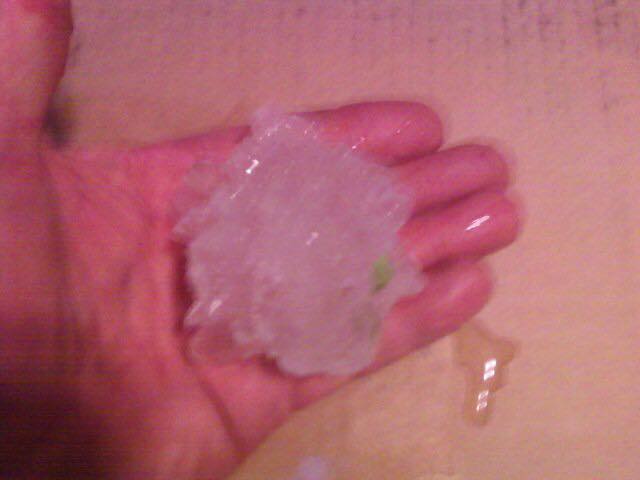
Large hail: Concordia, Catahoula and Franklin Parishes
|
Event Summary To put the size of this hail in perspective, the ArkLaMiss region has only seen a few instances of significant hail, 2 inches or larger, on record. Significant hail is very rare in December and only has occurred two times in Louisiana, in Tensas and East Carroll parishes, both on December 21, 1990.
|
Radar Imagery
These images from the Brandon Doppler radar show the storm at 10:57 am just around the time of the largest hail detected on radar near Jonesville. A three-body scatter spike (TBSS), or hail spike, is evident on radar. The image on the top left shows 0.5° base reflectivity data, top right shows 0.5° storm relative velocity data, bottom left shows 0.5° correlation coefficient data and bottom right shows 0.5° differential reflectivity data.
Click on the thumbnail below for a higher resolution image.
These images from the Brandon Doppler radar show the storm at 11:13 am just before softball size hail was reported in Sicily Island. A three-body scatter spike (TBSS), or hail spike, is evident on radar. The image on the top left shows 0.5° base reflectivity data, top right shows 0.5° storm relative velocity data, bottom left shows 0.5° correlation coefficient data and bottom right shows 0.5° differential reflectivity data.
Click on the thumbnail below for a higher resolution image.
Hail Pictures - Click to enlarge
Please submit your pictures to sr-jan.webmaster@noaa.gov .
Catahoula Parish
Softball size hail in Sicily Island
 |