Banner image courtesy Mark Anderton
Jones County EF-3 Tornado

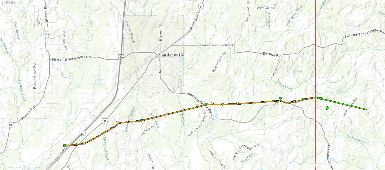
Click on map above to see entire damage point notation and damage pictures at select points.
|
Event Summary
This tornado developed just to the west of Interstate 59 southwest of Sandersville. The tornado crossed the interstate and moved northeast into areas along Dogwood Trail and Magnolia Roads, snapping hundreds of trees and heavily damaging a number of houses and mobile homes. The tornado then turned more to the east, continuing to cause heavy tree damage and destroying a mobile home. As the tornado moved near the intersection of Pleasant Grove and Davenport Road, it reached its maximum intensity in Jones County. It destroyed a wood frame home, leaving only some interior walls standing, and destroyed hundreds of trees, including leaving some denuded and partially debarked. After this point, the tornado weakened somewhat, crossed Dallas-Brownlee Road, and then moved into Wayne County.
|
Rating:
(Click for EF Scale) |
EF-3 |
| Estimated Maximum Wind: |
145 mph |
| Fatalities/Injuries: |
15 injuries |
| Damage Path Length: |
8.9 miles |
| Maximum Path Width: |
1/2 mile |
| Approximate Start Point/Time: |
5 SW Sandersville
9:39 pm
|
| Approximate End Point/Time: |
5 E Sandersville
9:52 pm
|
|


