Jackson, Mississippi
Weather Forecast Office
March 21, 2012 Rankin County Tornado
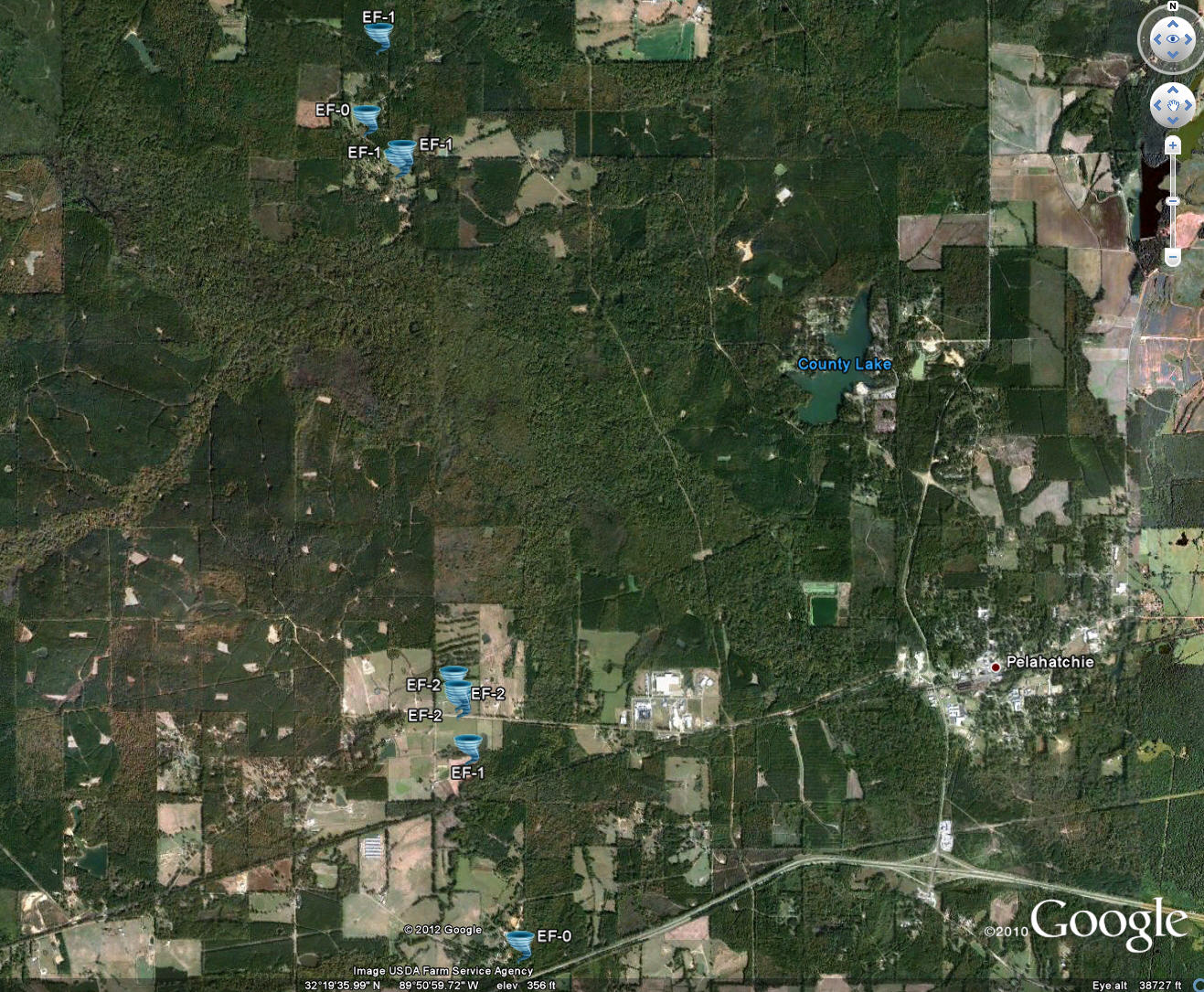
Click on Map Below to Zoom In/Out and View Damage Notation
|
Event Summary The tornado started just north of Interstate 20 near Carter Circle where a few trees were uprooted. The tornado continued slightly west of north and remained relatively weak...downing a few trees and limbs along the path. The tornado intensified just after crossing US Highway 80 where it caused extensive damage to a large frame home. Most of the roofing structure of the home was destroyed...a back wall was partially collapsed and extensive shingle damage occurred to the remaining roof. In addition...along the narrow path of the tornado...rather intense tree damage occurred north of the home with a number of large trees uprooted and snapped. All of this damage is consistent with EF-2 type damage. From this point...the tornado continued northward...crossing Pelahatchie Creek...and then crossed Lake Road in two spots...snapping and uprooting a number of trees along its narrow path. The tornado continued across Haynes Chapel Road...continuing to snap trees. The tornado dissipated between Haynes Chapel Road and Holly Bush Road. |
|
US Dept of Commerce
National Oceanic and Atmospheric Administration
National Weather Service
Jackson, Mississippi
234 Weather Service Dr.
Flowood, MS 39232
601-936-2189
Comments? Questions? Please Contact Us.


