National Weather Service United States Department of Commerce

Heavy Precipitation in the West; Wintry Mix in the North; Fire Weather in the High Plains

Pacific moisture will continue to bring locally heavy coastal/lower elevation rain and heavy mountain snow to the West Coast and portions of the Intermountain West through Monday. A wintry mix will create hazardous travel across the northern Plains and Upper Midwest into early Monday. Dry, gusty winds are resulting in elevated to critical fire weather in the south/central High Plains. Read More >

Banner


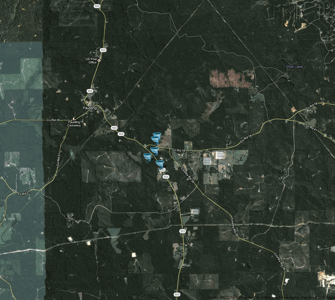
March 21, 2012 Jasper County Tornado

Click on Map Below to Zoom In/Out and View Damage Notation


Event Summary


Tornado snapped and uprooted a number of trees along a narrow path along county roads 16 and 503.

EF-0
Estimated Maximum Wind:
75 mph
Casualties:
None
Damage Path Length:
1/2 mile
Maximum Path Width:
75 yards
Approximate Start Point/Time:

1.5 miles ESE of Paulding
9:03pm 3/21/12

Approximate End Point/Time:
1.5 miles E of Paulding
9:04pm 3/21/12