Jackson, Mississippi
Weather Forecast Office

Kemper/Noxubee/Pickens, AL Counties Tornado

|
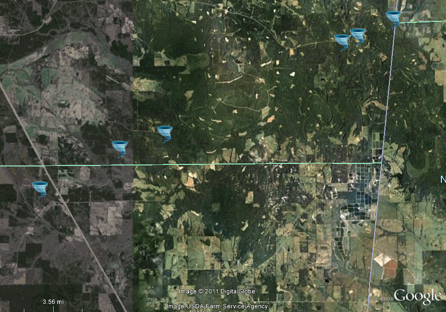
Event Summary This tornado touched down in the Wahalak Community near Hwy 45 in Kemper County, it then track into Noxubee County in the Jenkins Quarters area and moved across Field Rd before moving into the Noxubee River bottom. Trees were snapped in this area. The tornado emerged from the river bottom along Paulette Rd in the Cooksville Community. Here EF-2 intensity was observed as hundreds of trees sere snapped and uprooted along with part of the roof taken off a church and windows blown out of a house. Power lines were down as well in this area. The tornado then crossed Cooksville Rd and continued to cause extensive tree damage along with many power lines blown down. A few homes in this area suffered minor damage as well. The tornado then crossed into AL, in the far southwest part of Pickens County, as an EF-2, and tracked to the Dancy Community along Hwy 17. The tornado weakened in Dancy, but still was quite wide and downing trees/limbs along damaging a old shed. |
|
US Dept of Commerce
National Oceanic and Atmospheric Administration
National Weather Service
Jackson, Mississippi
234 Weather Service Dr.
Flowood, MS 39232
601-936-2189
Comments? Questions? Please Contact Us.

