Jackson, Mississippi
Weather Forecast Office

Holmes County Tornado

|
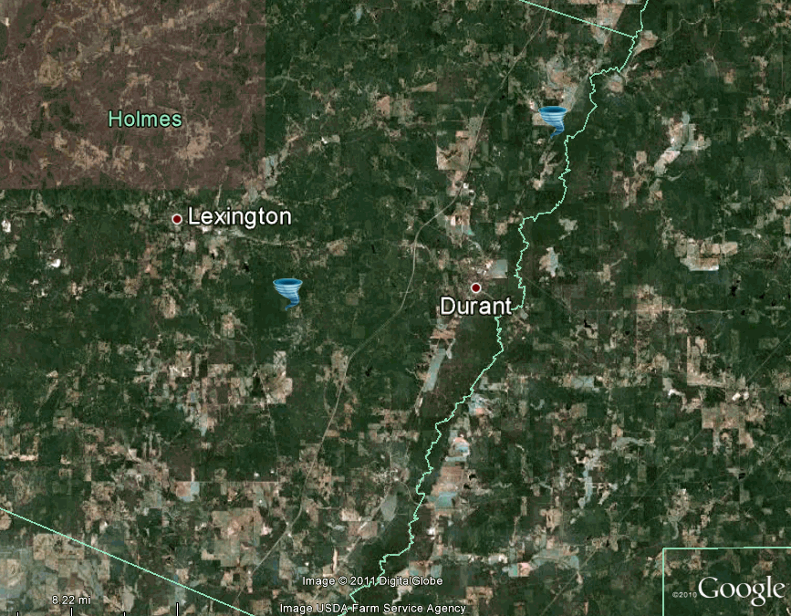
Event Summary The tornado started near Fowler Road, where a few trees were snapped and continued northeast to Highway 12. Here, numerous large hardwood and softwood trees were snapped along with several power poles. The tornado was rated an EF-2 at this point. The tornado continued northeast and crossed Ellington Road, where it snapped several more large hardwood trees. The tornado snapped several more power poles along with several hardwood trees off of Bowling Green Road before it crossed over I-55. The tornado was at its widest point after it crossed I-55, where it snapped numerous trees along County Road 68. The tornado continued northeast and snapped several large trees along Brister Road. The tornado ended near Stran Road, where it snapped numerous soft and hardwood trees, and also damaged the roof of a barn. |
|
US Dept of Commerce
National Oceanic and Atmospheric Administration
National Weather Service
Jackson, Mississippi
234 Weather Service Dr.
Flowood, MS 39232
601-936-2189
Comments? Questions? Please Contact Us.

