Jackson, Mississippi
Weather Forecast Office

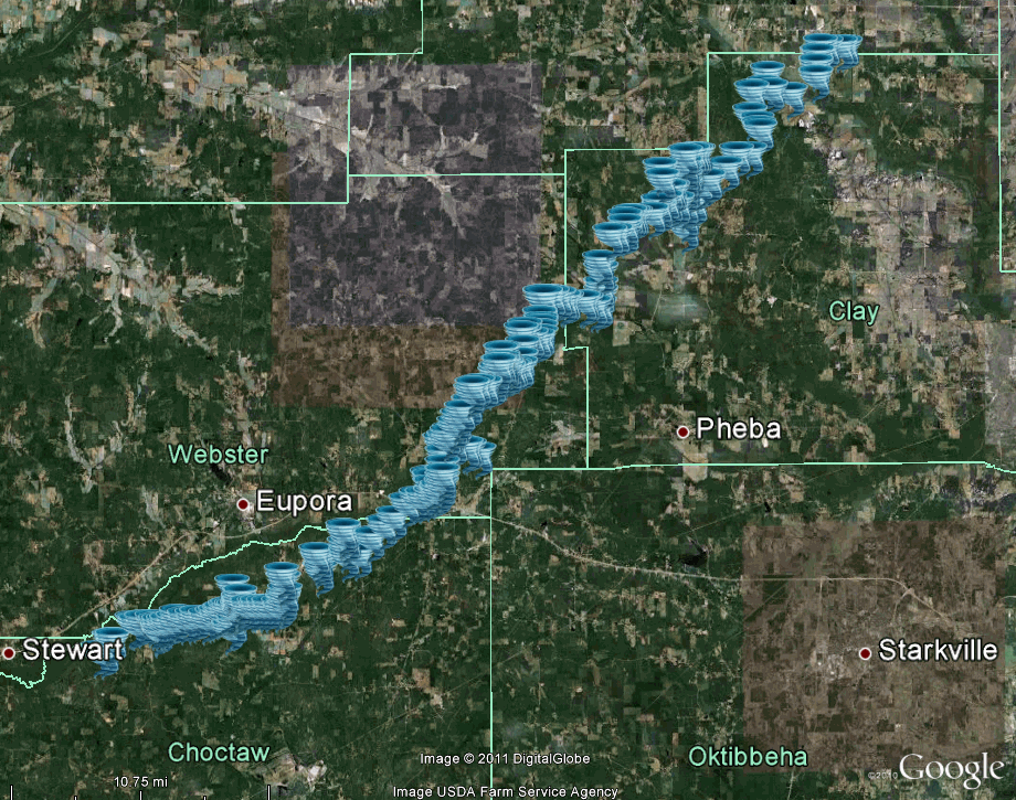
Webster/Choctaw/Clay/Chickasaw/Monroe Counties Tornado

|
Event Summary Many thousands of trees were snapped or uprooted along the path of this tornado. Numerous roofs of homes were severely damaged. Numerous mobile homes were severely damaged and several mobile homes were completely destroyed. A person was fatally injured when a tree fell on a mobile home just west of Mathiston in southeastern Webster County. Numerous barns and sheds received heavy damage or were destroyed. Numerous power poles and powerlines were down. Extensive damage occurred to a school in Cumberland and this was the basis for the EF-3 rating. It appears this tornado tracked into Chickasaw and Monroe counties, which are served by the National Weather Service in Memphis. |
|
US Dept of Commerce
National Oceanic and Atmospheric Administration
National Weather Service
Jackson, Mississippi
234 Weather Service Dr.
Flowood, MS 39232
601-936-2189
Comments? Questions? Please Contact Us.

