Jackson, Mississippi
Weather Forecast Office
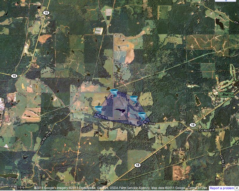
Jasper County Tornado

|
Event Summary This tornado moved along Jasper County Highway 1519 downing trees along its path. A second tornado moved just north of this location around two hours later causing overlapping damage. One home had a tree downed with this tornado and another with the second storm. |
|
Radar Imagery
These images from the Brandon, MS Doppler radar show the tornadic thunderstorm at 3:05pm as the tornado passed northeast of Bay Springs. The image on the left shows 0.5° base reflectivity data, and the image on the right shows 0.5° storm relative velocity data. Click on the thumbnail below for a higher resolution image.
US Dept of Commerce
National Oceanic and Atmospheric Administration
National Weather Service
Jackson, Mississippi
234 Weather Service Dr.
Flowood, MS 39232
601-936-2189
Comments? Questions? Please Contact Us.


