National Weather Service United States Department of Commerce
Click a location below for detailed forecast.

Last Map Update: Wed, Sep 16, 2026 at 4:40:30 pm EDT

Breezy east and northeast winds will bring some drier air into the area today, limiting rain chances through Thursday, mainly north of Interstate 4. To the south of the interstate, higher moisture will allow for scattered to numerous storms, mainly in the afternoon.
Breezy northeast and east winds will create hazardous marine conditions for operators of Small Craft today through Thursday night. Inexperienced mariners, especially those operating smaller vessels, should avoid navigating in these conditions.
Isolated to numerous thunderstorms, mainly south. Highs in the upper 80s to low 90s.
Mostly clear. Lows in the low to mid 70s.
Isolated to scattered showers and storms, mainly south. Highs in the upper 80s to low 90s.


Text Product Selector 


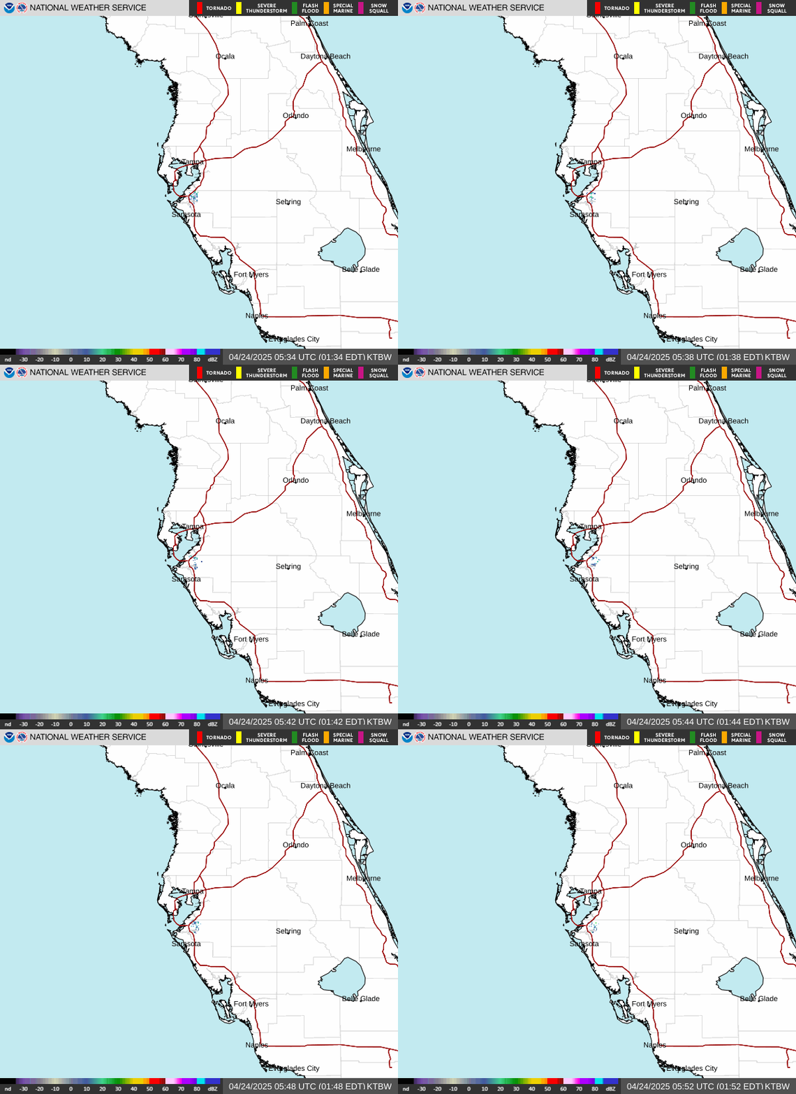
Radar
Radar
Current Weather
Current Weather
Rivers & Lakes
Rivers & Lakes
Satellite
Satellite
Weather Information Display
Weather Info Display
Forecast Maps
Forecast Maps
Hour by Hour Forecast
Wave Prediction
Weather Hazard Briefing
NOAA PORTS®
Forecaster's Discussion
Tropical Weather
Tropical
Marine Observations and Forecasts
Marine
Beach and Rip Current Forecast
Beach & Surf
Fire Weather
Fire Weather

 
Drought Page
Drought

 
NOAA Weather Radio
NOAA Weather Radio

 
NWS Skywarn Storm Spotter Program
Skywarn

 
Storm Report
Submit Storm Report